Description
The following datasets were provided in 1998 to the University of Waterloo Library by staff in Wilfrid Laurier University's Department of Geography and Environmental Studies, which supports the Grand River Basin Geographic Information System (GIS) Project. These datasets are available to faculty, students, and staff at the University of Waterloo and Wilfrid Laurier University for academic teaching and research purposes. Please note that these data are NOT from the Grand River Conservation Authority (GRCA). A more comprehensive set of Grand River watershed layers, created and maintained by the GRCA, is available for access in the Geospatial Centre as well as online through the Grand River Information Network.
Spatial reference and data type
These data sets are available in geographic (lat/long) co-ordinates; horizontal datum is North American Datum (NAD) 83. These data are stored as Esri shapefiles. Other data formats can be accommodated, as the Geospatial Centre has access to a number of conversion utilities.
Data access
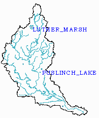 Rivers and lakes (zipfile) |
 City/ town boundaries and Locations (zipfile) |
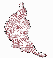 Concession roads (zipfile) |
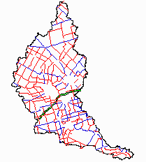 Main and secondary roads (zipfile) |
 Sub basins (zipfile) |
 Township boundaries (zipfile) |
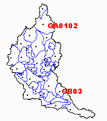
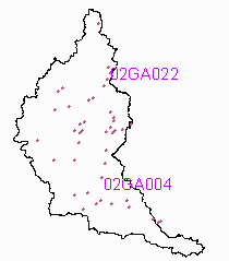 Hydro gauging stations (zipfile) |
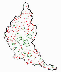
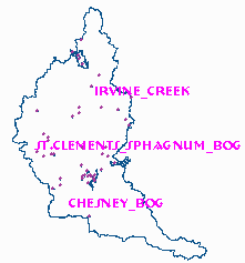 Areas of natural significance (zipfile) |
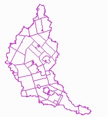
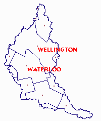 County boundaries (zipfile) |
Use restrictions/licensing/copyright
This material is provided for academic, research, teaching, and personal use only. The Department of Geography and Environmental Studies, Wilfrid Laurier University, should be acknowledged on any derivative product, such as a map or an image.
Citation
Grand River Watershed Basic Map Layers [computer file]. Waterloo, Ontario: The Department of Geography and Environmental Studies, Wilfrid Laurier University, [1998].