We research Ku and L-band SAR remote sensing observations of snow, ice, and water for cryosphere and other water cycle applications. The research focuses on the development of novel methods to demonstrate how to quantify water, vegetation, and general land surface states. We support initiatives to develop the scientific maturity of these efforts for space-based applications.
Our CryoSAR system is the first airborne synthetic aperture radar (SAR) of its kind in Canada that can be used to effectively help quantify water cycle states at a very local scale. We are working with partners in universities, government, and industry to move the science forward.
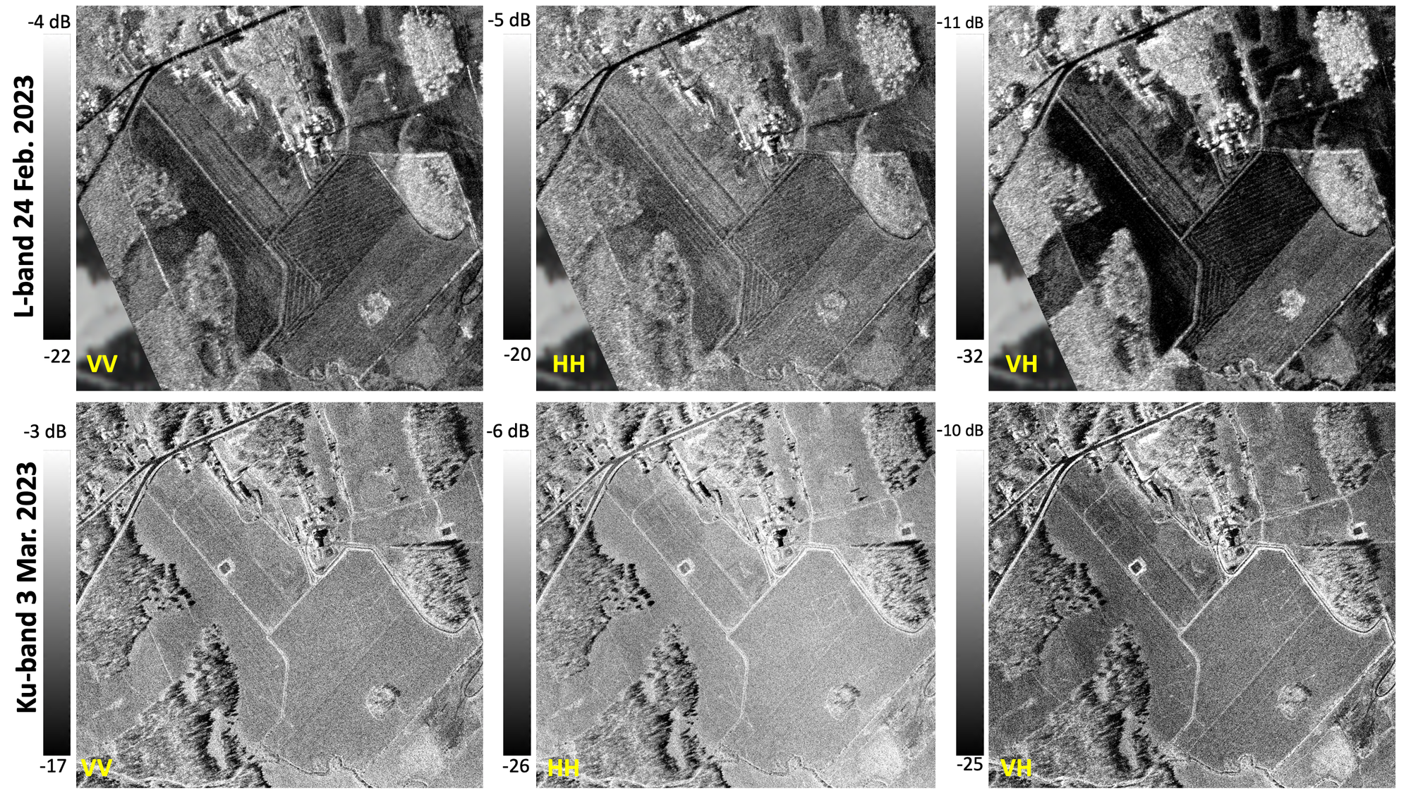
Scientific Application 1: terrestrial snow. Estimation of seasonal terrestrial snow thickness and snow water equivalent (SWE) is important to help quantify the intensity of climate change but also to inform water managers so that they can effectively manage watershed river flow dynamics. Estimates require high spatial resolution observations. We are working to develop methods that estimate SWE using Ku-band SAR backscatter and L-band InSAR measurements from the CryoSAR. Examples of calibrated L-band and Ku-band CryoSAR observations of a snow-covered farm field site in Powassan, ON are shown below.

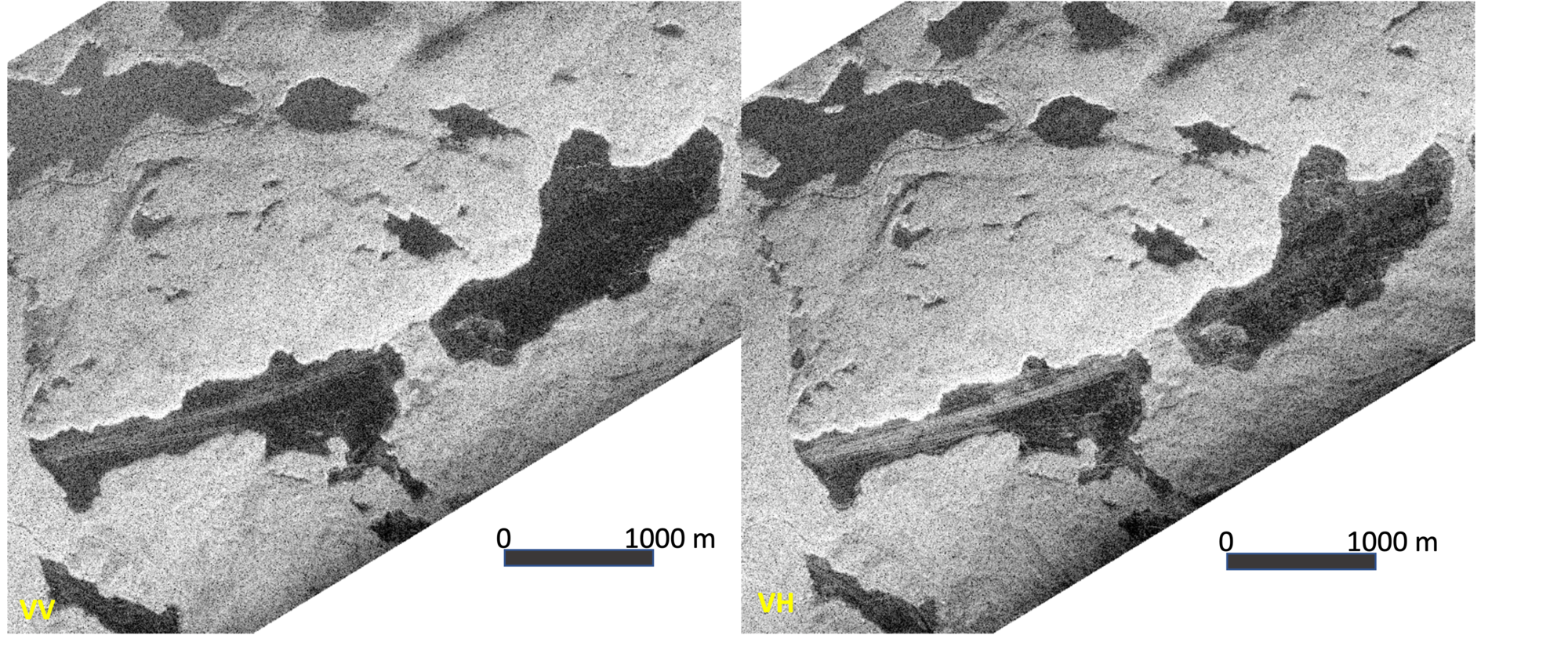
Scientific Application 2: lake ice. Estimates of lake ice thickness, and ice phenology (ice onset and melt-out) are used as indicators of climate change when applied over long timescales. Uncertainties in snow thickness on lake ice have an important impact on quantifying thermodynamic processes in these lake environments. The CryoSAR is being used to explore L-band and Ku-band observations of lakes to help reduce these uncertainties. The L-band CryoSAR images below are for MacDOnald Lake in Ontario during the winter of 2023.

Scientific Application 3: soil moisture and freeze-thaw state. L-band observations of soils are well suited to the estimation of volumetric soil moisture and soil water freeze-thaw state. We are working with partners to estimate these variables at our Ontario sites.
Other Potential Scientific Applications
- Vegetation biomass and structure
- Sea ice state (concentration, potential thickness, snow depth on sea ice)
- Land surface deformation: permafrost thaw subsidence.
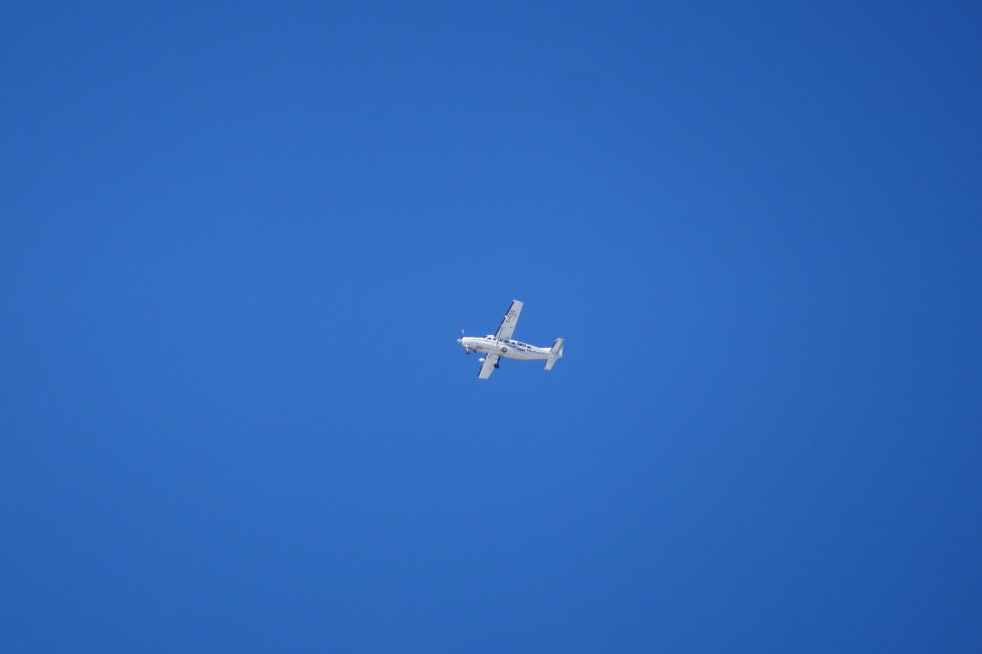
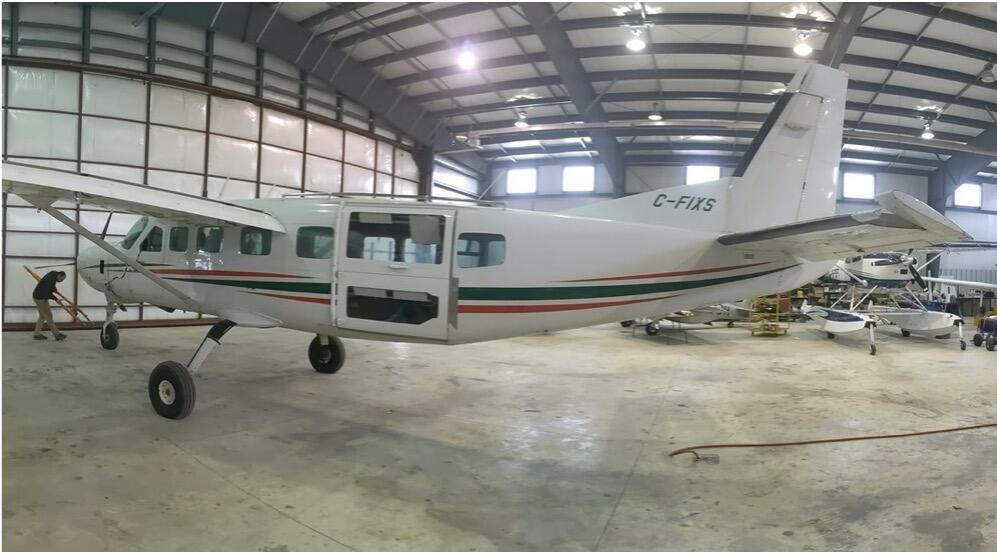
CryoSAR Instrument Parameters. The CryoSAR system is a dual-frequency, fully polarimetric SAR manufactured by MetaSensing and supported by Lake Central Air Services who fabricated the antenna mounting frame. The system can be deployed on a Cessna 208B Caravan (other aircraft under consideration) and can be flown over target land and water surfaces of interest. We are responsible for the end-to-end operation of the system from data acquisition, to post-processing. The general SAR system characteristics are summarized in the table below.
Parameter |
L-band (1.3 GHz) |
Ku-band (13.5 GHz) |
|---|---|---|
|
Waveform modulation |
Pulsed |
FMCW |
|
Bandwidth (max) |
200 MHz |
600 MHz |
|
Acquisition modes |
InSAR (repeat pass), Polarimetric |
InSAR (single pass), Polarimetric |
|
Azimuth resolution (max.) |
25 cm |
25 cm |
|
Transmit power (max.) |
10 W (40 dBm) |
10 W (40 dBm) |
|
Antenna Type |
Microstrip patch array |
Microstrip patch array |
|
Cross-pol isolation |
<-28 dB |
<-28 dB |
|
Antenna Gain |
13 dB |
18 dB |
|
HPBW (el x Az) |
40º x 40º |
40º x 5º |
|
PRF (max) |
100 kHz |
100 kHz |
|
Sensor Weight: <20 Kg, Power consumption <400W |
||
|
Operating temperature: -20ºC to + 60ºC |
||
CryoSAR Instrument Deployment
- Certified platform type: Cessna 208B (STC), DC-3 Basler (STC pending)
- Installation: modified interior door frame (Cessna) and external antenna pod mount (Basler)


Funding: Our research is funded by NSERC, CFI, and CSA.

