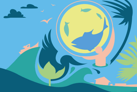
Nature Unleashed — Fires, Floods and Other Natural Disasters: Climate Change Threats to Water Across Canada
Join us at the University of Waterloo in celebration of World Wetlands Day. On this annual international day of significance, wetlands groups across the globe commemorate the February 2, 1971 adoption of the Ramsar Convention on Wetlands.

In this seminar, Diane Dupont, a professor in the Department of Economics and member of the Environmental Sustainability Research Centre at Brock University, presents a method for obtaining public preferences for improved water and wastewater management.
Register today.
Light refreshments will be provided.
As part of the Water Institute's WaterTalks lecture series, Alex Mayer, professor of civil and environmental engineering at Michigan Technological University, presents, "Developing the Great Lakes’ Blue Economy: Water productivity, water depletion, and virtual water trade in the Great Lakes basin."

Digital elevation models (DEMs) are a primary data input for many applications in spatial hydrology and geomorphology. DEMs are commonly used to delineate watersheds, to map landforms and soils, to analyze stream networks, and to model variable source areas, surface runoff and flooding, erosion, and contaminant migration. The past decades have been marked by significant improvements in the quality, spatial resolution, and availability of DEM data sources.

How combining real-world data with experimental surveys — both upstream and downstream of wastewater treatment plants — help reveal the drivers of ecological change.
Part of the Water Institute's WaterTalks lecture series.


Reception to follow on the first floor foyer of EIT.
