Friday, February 2, 2024
Enroute to our goals
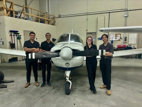
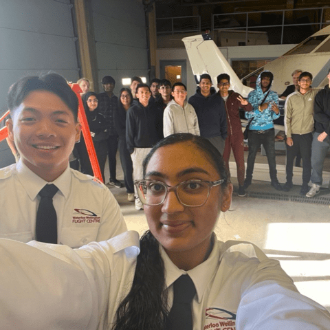
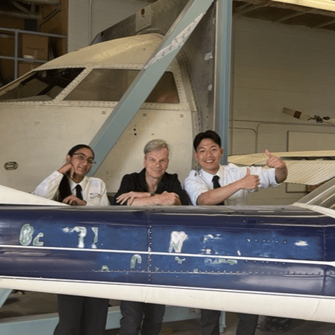
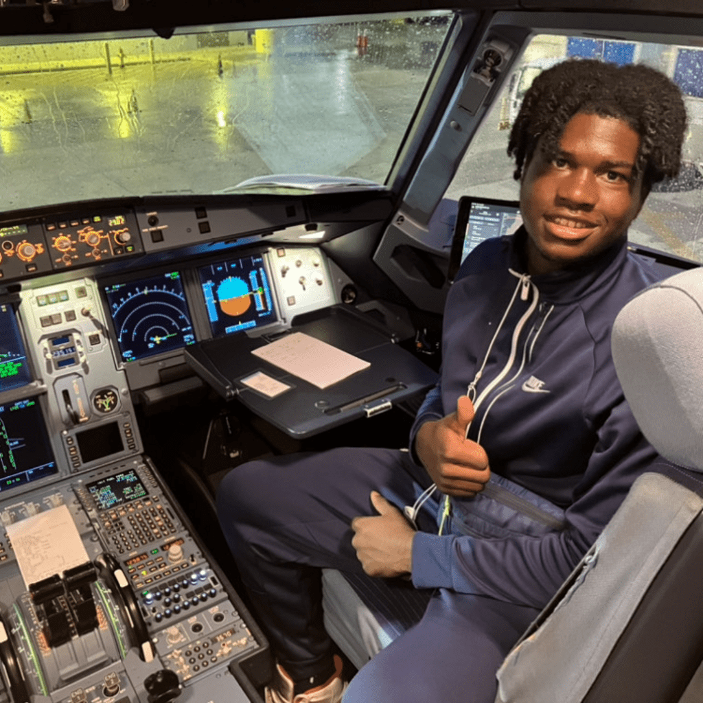
A decade ago, Ethan caught the aviation bug, and now he's in Geography and Aviation at the University of Waterloo. His experience has been enriched with top-tier courses and flight training.