What if we could see Canada’s peatlands, their carbon stocks, disturbances, and restoration potential, layered in a single interactive map? That vision is moving closer to reality through Can‑Peat’s rapidly expanding geospatial initiatives.
Across the Can‑Peat network, researchers are developing an impressive suite of geospatial products that will shape how Canada identifies, protects, and restores peatlands. Rather than working in isolation, these teams are building complementary maps that, together, create a powerful foundation for decision support, climate mitigation, and land‑use planning.
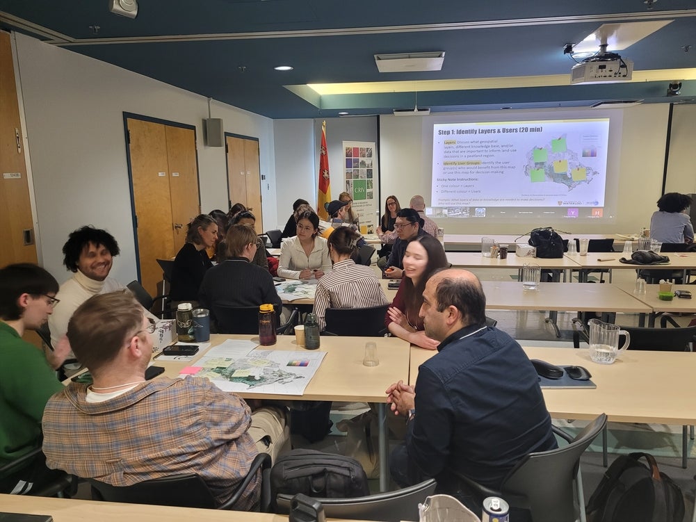
The Can-Peat team working in groups during the "Build the Map" activity.
Mapping Peat Depth, Carbon, and Disturbance Patterns
April Dalton, Postdoctoral Fellow at the Université du Québec à Montréal, is producing new national‑scale peat depth and carbon‑stock maps using machine‑learning approaches trained on almost a hundred thousand peat core measurements. By integrating carbon stocks and peat depths, her models will enable users to visualize carbon hotspots, uncertainty, and potential restoration gains.
Working alongside her, Sanghyeon Song, PhD Candidate at McGill University, is developing machine‑learning layers that map anthropogenic disturbance types across Canada’s peatlands. His models identify features such as extraction areas, roads, seismic lines, and wildfire footprints, filling a critical gap for land managers and policy teams evaluating cumulative impacts.
Mapping Fire Risk and Peatland Fuels
Nicholas Pontone, PhD Candidate at Carleton University, is advancing wildfire‑related mapping with a focus on long‑term carbon balance. He is creating an improved peatland vegetation and subclass map by expanding national coverage, strengthening classification accuracy especially in mountainous regions, and adding a swamp class. In parallel, Nicholas is developing a new Peat Moisture Code that will better represent peat fuel conditions within Canada’s Fire Danger Rating System. His 30‑metre resolution second‑edition boreal peatland map is expected before fall 2026.
Wetland Classification and Ground‑Validated Inventories
Rebecca Edwards, Lead Remote Sensing Specialist at Ducks Unlimited Canada, is refining DUC’s Enhanced Wetland Classification, a multilayer machine‑learning inventory that distinguishes wetland classes using optical, radar, elevation, and canopy‑height data. With extensive helicopter and ground‑based validation, Rebecca’s updated workflows significantly improve the accuracy of bogs, fens, and swamps, offering a robust baseline for national peatland analyses.
Cross‑Border Mapping and Restoration Prioritization
In the United States, Erik Lilleskov, Research Scientist with the USDA Forest Service, is developing restoration‑targeting maps that intersect soil surveys, land‑cover datasets, and infrastructure layers under the PeatRestore project. His current peat map, built from remotely sensed soil surveys, opens new opportunities for cross‑border harmonization with Canadian datasets.
What the Network Said: Priority Mapping Layers
During the “Build the Map” activity at the Can-Peat Annual Meeting, members identified which layers would most strongly support real‑world decisions. Across groups, the following emerged as the highest‑value layers, listed in order of importance:
- Indigenous territories, including hunting and fishing areas
- Wetland and peatland classification and distribution
- Anthropogenic disturbances
- Wildfire layers and fire‑related information
- Biodiversity, species at risk, and habitat information
- Permafrost layers
- Carbon stocks, carbon fluxes, and soil carbon data
- Climate projections and related indicators
These insights will guide Can‑Peat’s Decision Support Tools work, ensuring that the tool focuses on the layers that matter most to communities, decision makers, and restoration practitioners. Stay tuned for developments in 2026 as the dashboard starts to take shape.
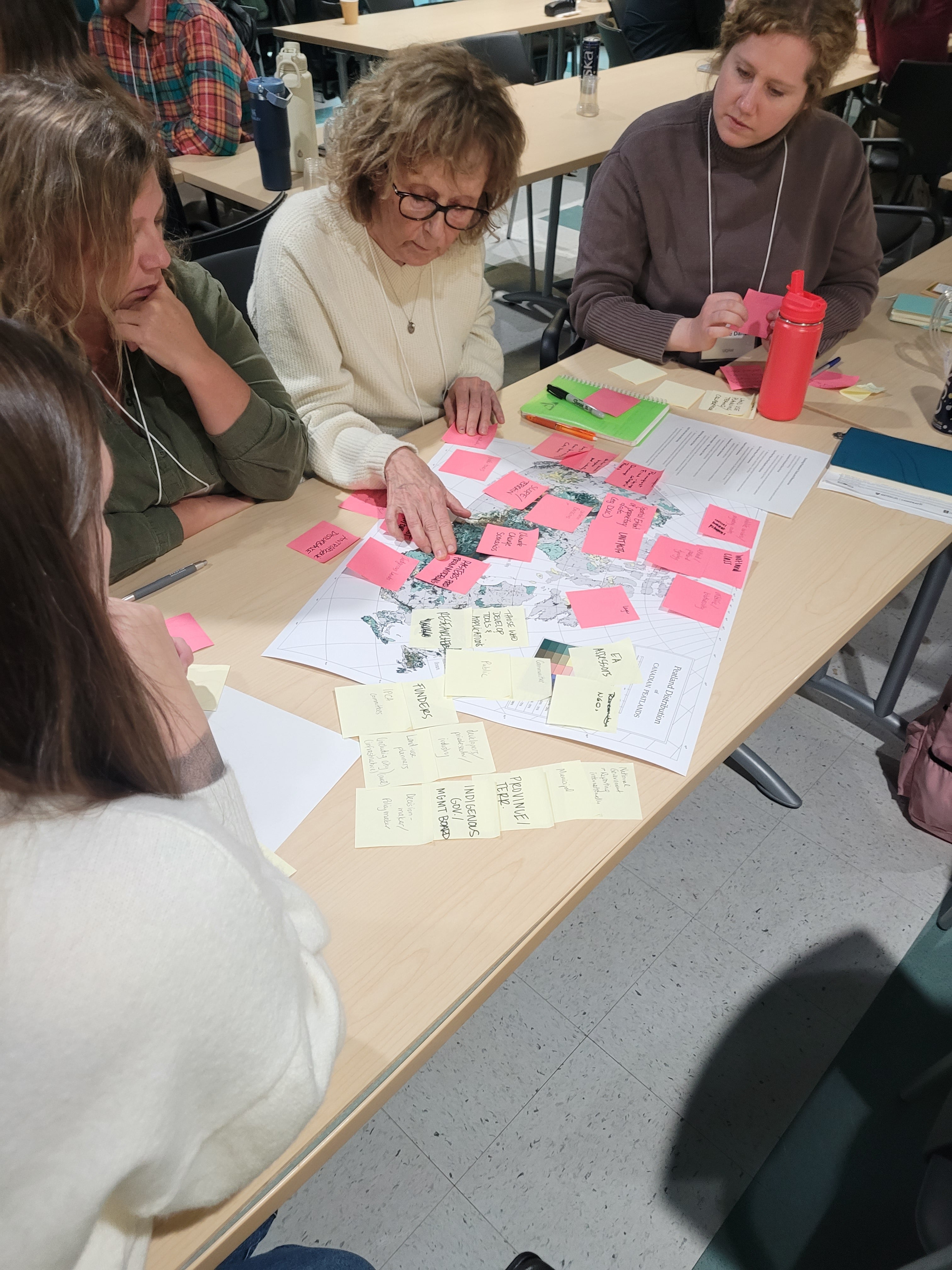
One group identifies key layers for a peatland map of Canada during the "Build the Map" activity.