New map shows where fracking-induced earthquakes could hit in Canada
Maps help us to better understand and predict induced seismicity during subsurface engineering processes

Maps help us to better understand and predict induced seismicity during subsurface engineering processes
By Katharine Tuerke Faculty of ScienceScientists from the University of Waterloo have developed a map showing which regions and population centres of Western Canada are likely to experience earthquakes induced by underground energy extraction.
Hydraulic fracturing is used to produce cracks in the rock formation to enhance energy extraction from geothermal and unconventional resources. This process is typically accompanied by seismicity, or induced earthquakes, because injection changes pore pressures and temperatures, facilitating slippage of fractures and faults.

The map shows earthquakes related to hydraulic fracture. Major earthquakes are represented with red and white graphics.
The report concluded induced earthquakes in this region continue to threaten communities that have already experienced of the largest fracking-caused earthquakes reported worldwide. This includes a magnitude 4.6 near Fort St. John, British Columbia on November 29, 2018, and a magnitude 4.1 near Fox Creek, Alberta on January 12, 2015.
“The majority of injection-induced seismicity occurred near Fort St. John, British Columbia—close to the border of Alberta,” said Ali Yaghoubi, the study's lead author and PhD candidate in the Department of Earth and Environmental Sciences at Waterloo. “When I compare the seismicity map with the population density map of Canada, some earthquake-prone areas are indeed populated. However, the majority of seismogenic areas aren’t populated.”
They also found that the area south of Grande Prairie, Alberta is far less prone to significant levels of induced seismicity, despite the fact that the Montney and Duverney formations in the region have been subjected to more than 700 multistage hydraulic fracturing operations. “This is particularly important considering that the area is home to Alberta's No.1 geothermal project,” said Yaghoubi.
Their map can serve as a baseline for future fluid injection projects or underground energy extraction in the region including wastewater disposal, hydraulic fracture stimulation, carbon sequestration, as well as geothermal energy extraction.
The study, Injection-induced fault slip assessment in Montney Formation in Western Canada was recently published in the academic journal Scientific Reports, a Nature Group publication.

Dr. Travis Craddock, professor and Canada Research Chair, says the team's findings change our basic knowledge of biology (University of Waterloo).
Read more
New study reveals quantum-level effects in biology with major implications for treatment of some brain diseases

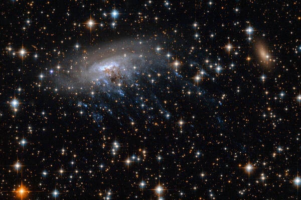
ESO 137-001, a jellyfish galaxy like the one recently observed by astrophysicists at the University of Waterloo. (Credit: NASA, ESA)
Read more
New astronomical find is 8.5 billion years old and reshapes our understanding of early cosmic evolution

The photo shows a European bat species affected by White-nose Syndrome.
Read more
Study highlights the biological mechanisms behind a disease that has caused over 90 per cent declines in some bat species
The University of Waterloo acknowledges that much of our work takes place on the traditional territory of the Neutral, Anishinaabeg, and Haudenosaunee peoples. Our main campus is situated on the Haldimand Tract, the land granted to the Six Nations that includes six miles on each side of the Grand River. Our active work toward reconciliation takes place across our campuses through research, learning, teaching, and community building, and is co-ordinated within the Office of Indigenous Relations.