Two major avalanches linked to climate change, according to international study involving Waterloo
Waterloo Earth Scientist Stephen Evans helps uncover catastrophic collapse of two Tibetan glaciers using remote sensing.

Waterloo Earth Scientist Stephen Evans helps uncover catastrophic collapse of two Tibetan glaciers using remote sensing.
By Victoria Van Cappellen Faculty of ScienceA study released in Nature Geoscience describes how climate change played a major role in the massive catastrophic collapse of two glaciers in the Tibetan Plateau in July and September 2016.
The spectacular collapse, featured by The Atlantic magazine last year, was captured in more-or-less real time using remote sensing data by an international team of researchers, which included Dr. Stephen Evans, a professor of Earth and Environmental Sciences at the University of Waterloo and Director of Waterloo’s Geological Engineering Program.
The team analyzed high-resolution remote sensing data from a variety of satellites between 1961 and 2016. Thermo-mechanical modelling of the collapsed glaciers showed how meltwater, due to climate change, initiated the collapse, with ice flows traveling nearly 8 km at speeds of 140 km/hour.
It’s the first detailed documentation of massive surge-like instability in the literature and identifies a new catastrophic hazard associated with mountain glaciers.
According to Evans, the satellite imagery and modeling from the first collapse in July 2016 were so accurate that researchers were able to predict the second collapse and warn the Chinese and Tibetan authorities before it happened later that September.
“Our study of these massive collapses would not have been possible without incredible coverage of the area by satellite imagery,” said Evans. “Satellite data enabled us to detect and measure the glacier changes. This relatively cheap method is our best tool for detecting similar threats in the mountain cryosphere, thus providing an opportunity for warning and hopefully saving lives."
The study was led by Professor Andreas Kääb of the University of Oslo and included researchers from Norway, France, Switzerland, China, USA, and Taiwan.

Read more
The Government of Canada announces funding to support research in food policies and medical devices

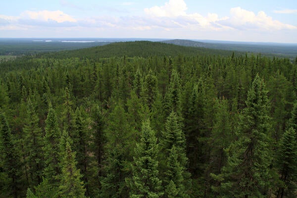
New research examines the carbon-removal potential of strategic planting (Getty Images/Zhao Qin).
Read more
AI-powered modelling shows planting in northern forests could help Canada become carbon neutral by mid-century

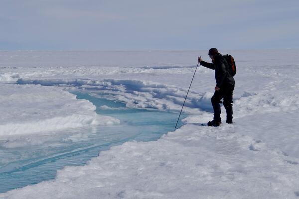
A member of the research team investigates a stream on the surface of the ice. (University of Waterloo)
Read more
Study reveals that airborne dust promotes algae growth that speeds glacial melt
The University of Waterloo acknowledges that much of our work takes place on the traditional territory of the Neutral, Anishinaabeg, and Haudenosaunee peoples. Our main campus is situated on the Haldimand Tract, the land granted to the Six Nations that includes six miles on each side of the Grand River. Our active work toward reconciliation takes place across our campuses through research, learning, teaching, and community building, and is co-ordinated within the Office of Indigenous Relations.