Who is most impacted by flooding in Canada?

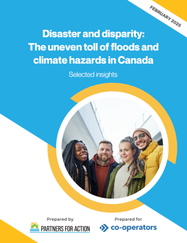
Natural hazards and disasters do not impact everyone equally. That's why Partners for Action developed equity-informed spatial analyses and decision-support tools.
Mapping Flood Risk using a Social Vulnerability Index
Flood risk is partly due to social vulnerability. Understanding and mapping the drivers of this vulnerability is critical for developing inclusive policies that reduce risk and strengthen resilience for all Canadians. P4A has developed a Social Vulnerability Index (SoVI) that combines Canadian Census variables with flood exposure data to produce web-based GIS maps. This SoVI can help identify specific geographic areas within communities that will most likely need support before, during, and after hazardous events which are becoming more common and intense with climate change.
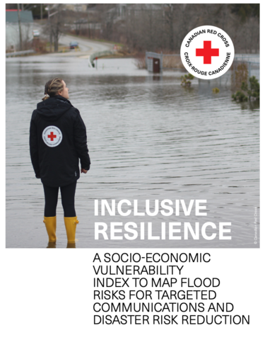
Inclusive Resilience: A Socio-Economic Vulnerability Index to Map Flood Risk for Targeted Communications and Disaster Risk Reduction (2020-2024)
P4A began this research as part of the multi-year Inclusive Resilience: Driving Risk Awareness to Action and Building Resiliency for Vulnerable Canadians in High-Risk Areas project, funded by the Canadian Red Cross. The Canadian Red Cross engaged Partners for Action at the University of Waterloo to research socio-economic vulnerability in order to better understand who may be most impacted by natural hazards like floods, wildfires, and earthquakes.
P4A researchers developed a cutting-edge Canadian SoVI methodology to overlay with flood exposure analysis to identify areas of high and moderate risk. The result is web-based maps of six communities: Richmond, BC; Thompson, MB; Ottawa / Renfrew, ON; Moose Factory, ON; Ottawa, ON/ Gatineau, QC; Bay St. George, NFLD. These maps can be used to inform policies and programs that help facilitate targeted solutions and the adoption of risk-based hazard management strategies across Canada.
Data for Flood Resilience: Building Evidence for Equity-Informed Investment, Planning, and Foresight (2022-2024)
Expanding upon this foundational SoVI research, P4A has continued to investigate the development of equity-informed decision-support tools to map risk for different hazards and purposes. That’s why one of our founding funders, Co-operators, engaged P4A through a sponsored research agreement to develop web-based maps for social vulnerability and flood risk assessments for four Canadian communities: Halifax, NS; Langley, BC; Surrey, BC; and Edmonton, AB. Included in this assessment is an even deeper dive into the socio-economic factors that shape an individual’s resilience in the face of disasters and further decision-support tools that can be used to help inform risk reduction planning and resilience investing. By applying an equity-informed lens to community risk planning, we hope to support investment and the prioritization of resources in the areas most in need of supports.


Read the Report
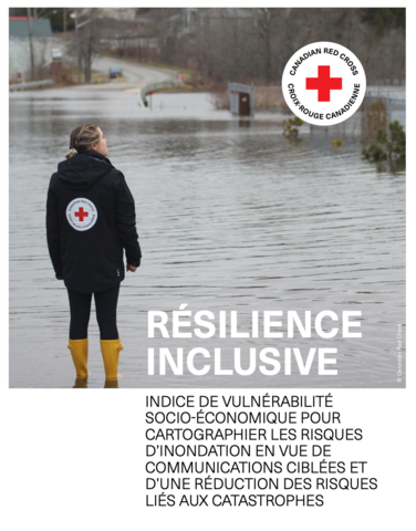
Inclusive Resilience: A socio-economic vulnerability index to map flood risk for targeted communications and disaster risk reduction | Résilience Inclusive: Indice de vulnérabilité cartographier les risques d'inondation en cue de communications ciblées et d'une réduction des risques liés aux catastrophes


Ethics clearance
This study was reviewed and received ethics clearance through the University of Waterloo Research Ethics Board (REB#42933). If you have questions for the Board, please contact the Office of Research Ethics, at 1-519-888-4567 ext. 36005 or reb@uwaterloo.ca.
Learn more
If you have any questions about this study or are interested in collaborating on a project, please contact:
Sharmalene Mendis-Millard
Director
sharmalene.mendis-millard@uwaterloo.ca