Partners and Projects
2017
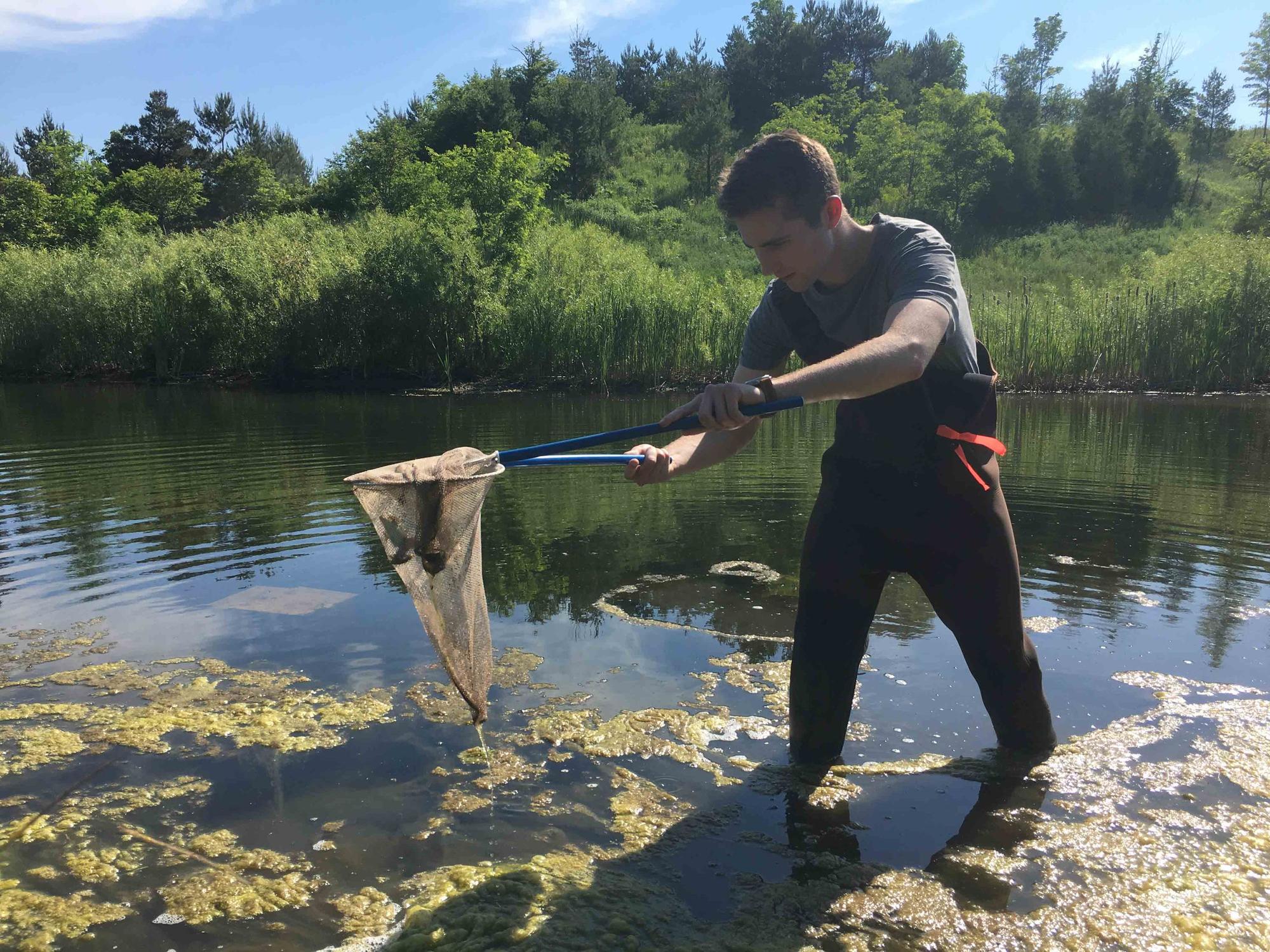
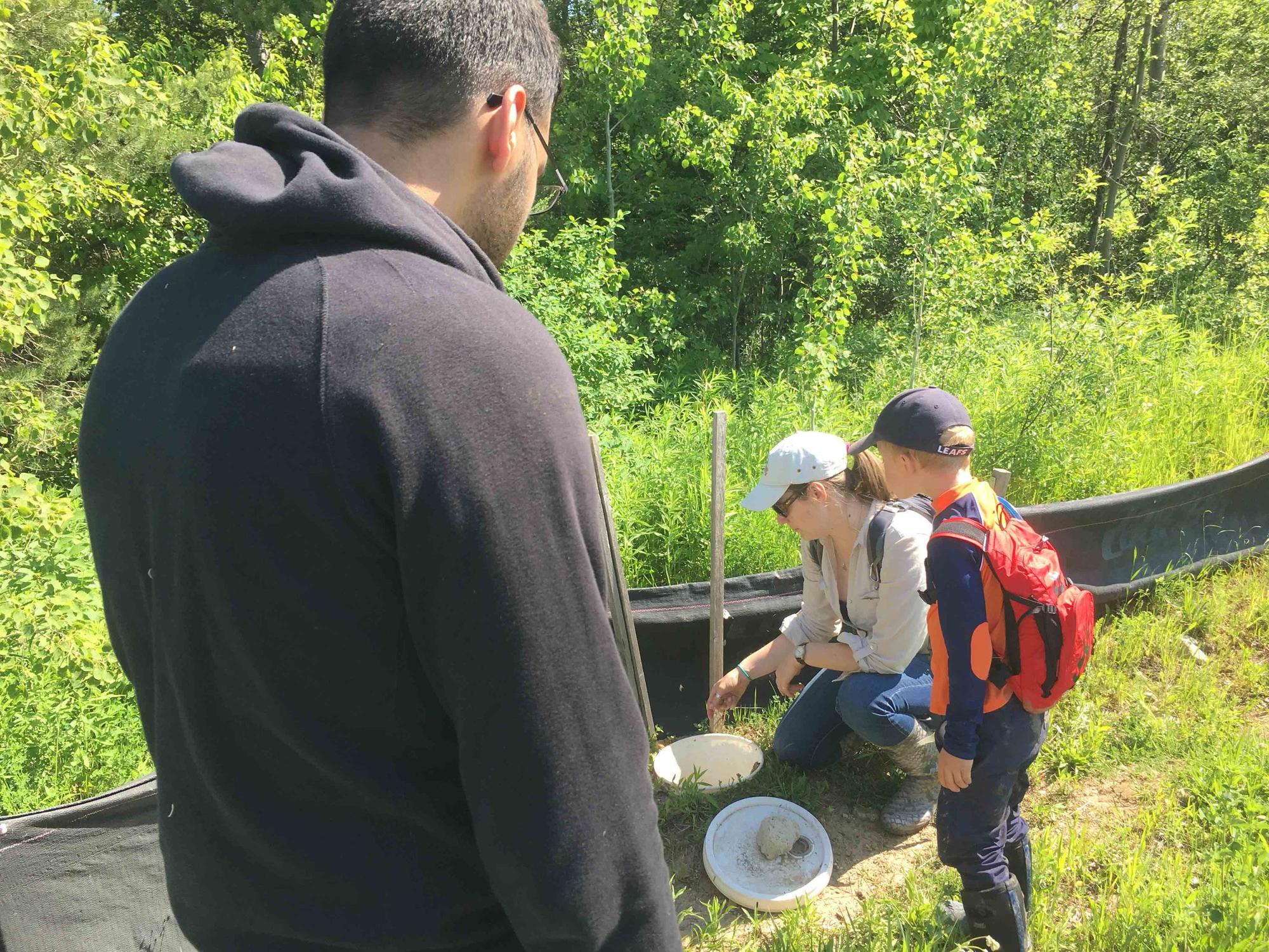
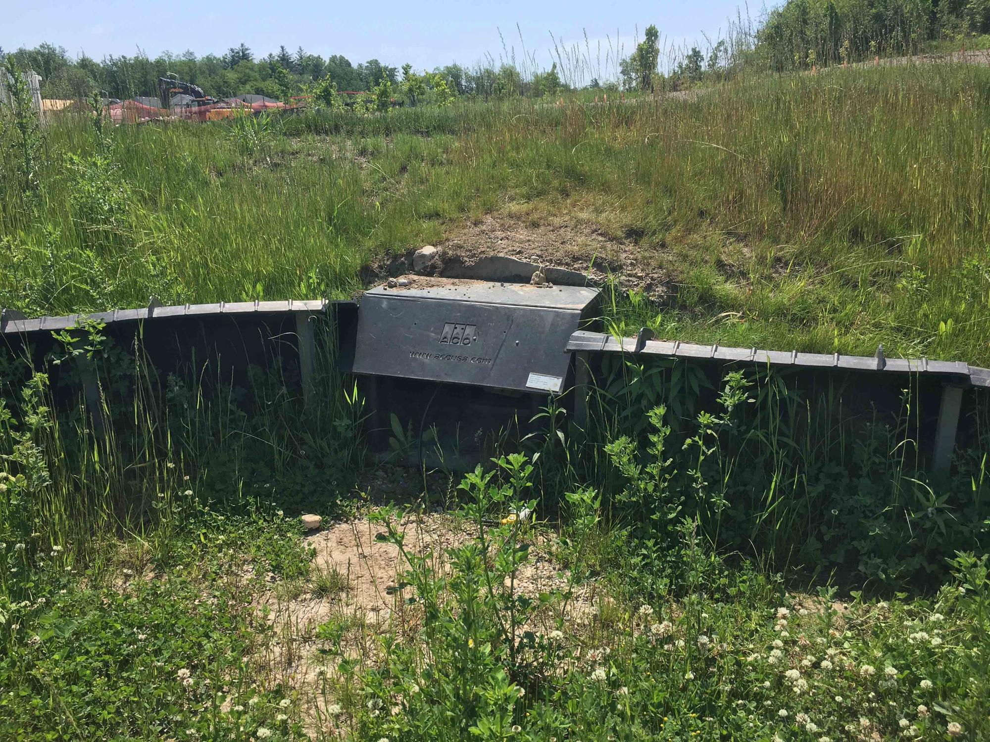
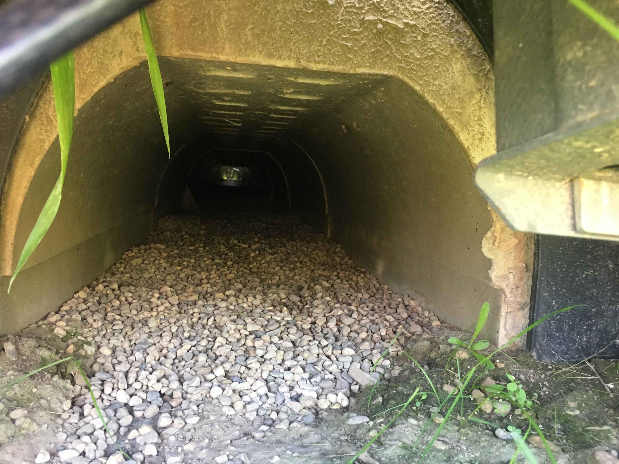
In Spring of 2017 we solicited projects from the external partners below and students also created projects related to Agent-Based Modeling, Hedonic Modelling of Rental Units, Opimization of Bus-Stop Routes, Machine Learning for Parcelization of Land Ownership Boundaries, and Assessing different distance decay functions on the performance of Huff’s Model.
2016
In Spring of 2016 we solicited projects from the external partners (shown below) including projects working with the Retro Video Game Repair Shop out of Raleigh, NC, agent-based models of urban sprawl, and a project working with an unmanned aerial vehicle to map milkweed for Monarch habitat.
2014
“I just finished going through the [final] report and I’m very impressed with it. I have sent work to other GIS programs before and found the products to be less than complete and really not usable. This report contained excellent analysis, statistical testing and some very interesting results. I really appreciate your hands-on dealings with the students, which is evident in the report. I am already talking with my co-workers to line up another project for next year. Hopefully we can send something your way that is fun, challenging and relevant.”
(Ontario Ministry of Natural Resources; September 11, 2013)
Project published in International Journal of Remote Sensing
When our GIS Project course finished back in the spring of 2013 one particular project was keen to show that their results were unique and could help advance remote sensing and spatial analysis. The three of the four members of the project (Ian Evans, Jessica Miki, and Jessee Ho) continued to work on the project after the class was finished and together we submitted their project for publication to the International Journal of Remote Sensing. These undergraduate students worked hard on this project and provide solid evidence that the work we do in our Geomatics program is contributing to science and real-world applications. The lead author Ian Evans carried this project the distance and should be commended. Congratulations to Ian, Jessica, and Jesse. Great work. You’ve set a standard for others to follow. This is the first time we’ve published a paper out of GEOG 481, but it won’t be the last.
Photos
2017
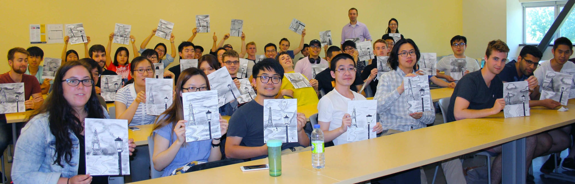
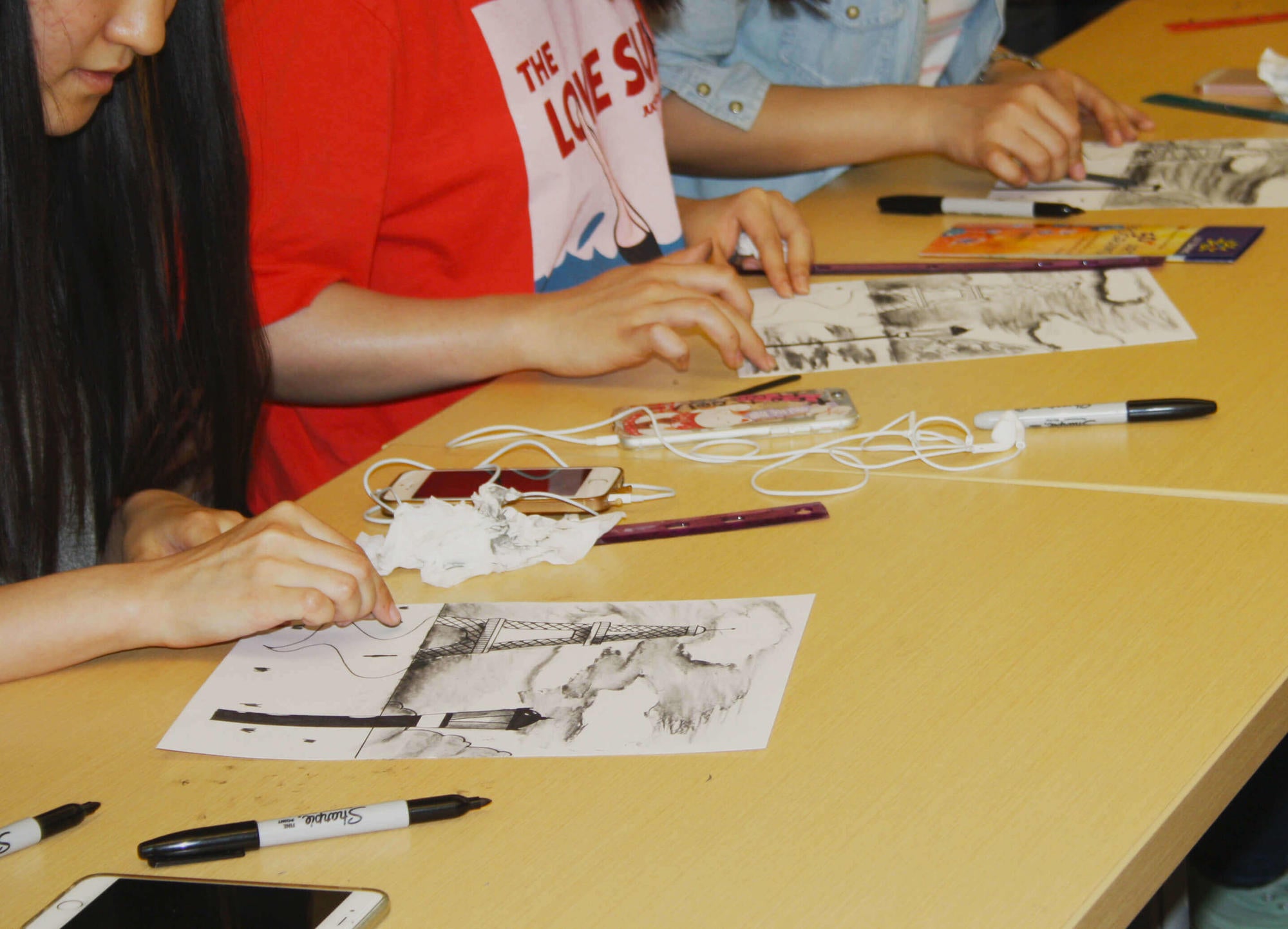
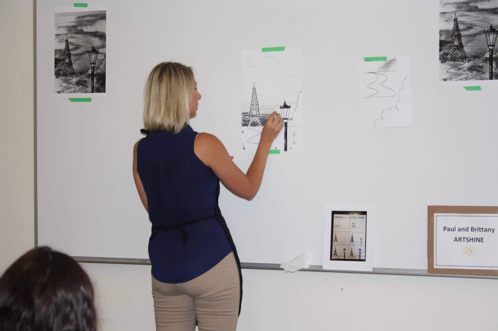
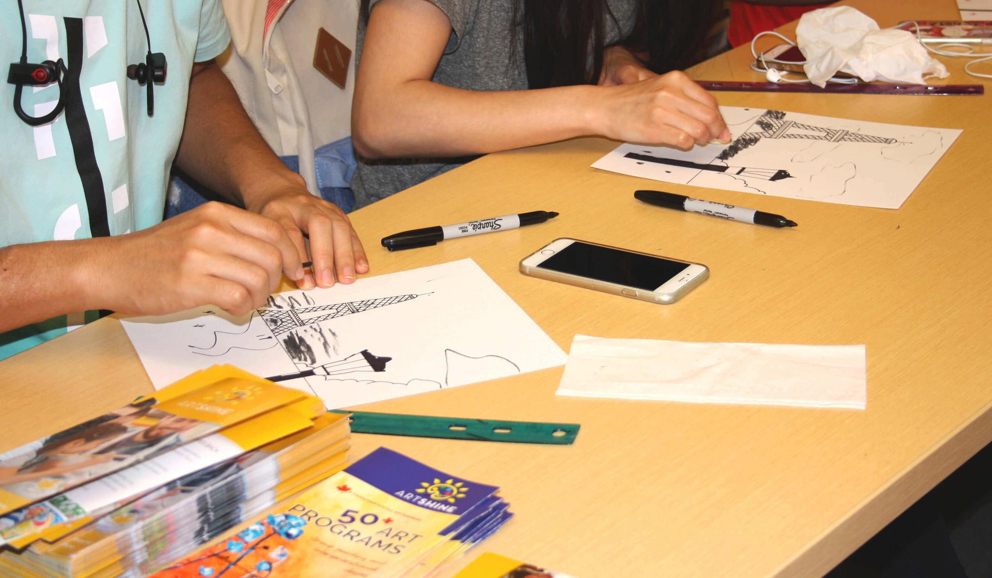
A group of four students take on the task of using customer data to identify future markets for the expansion of social enterprise Artshine and Arts4All as a course project. The class took time out of from their project work to speak with Artshine owner Paul Field to learn about starting your own business, social enterprise, and with the help of artist Brittany Langver had an exercise in charcoal art.
A group of four students take on the task of using customer data to identify future markets for the expansion of social enterprise Artshine and Arts4All as a course project. The class took time out of from their project work to speak with Artshine owner Paul Field to learn about starting your own business, social enterprise, and with the help of artist Brittany Langver had an exercise in charcoal art.