Syllabus
Students taking this course gain substantive knowledge about the requirements and constraints affecting recreational, commercial, and research UAV flights for geomatics applications.
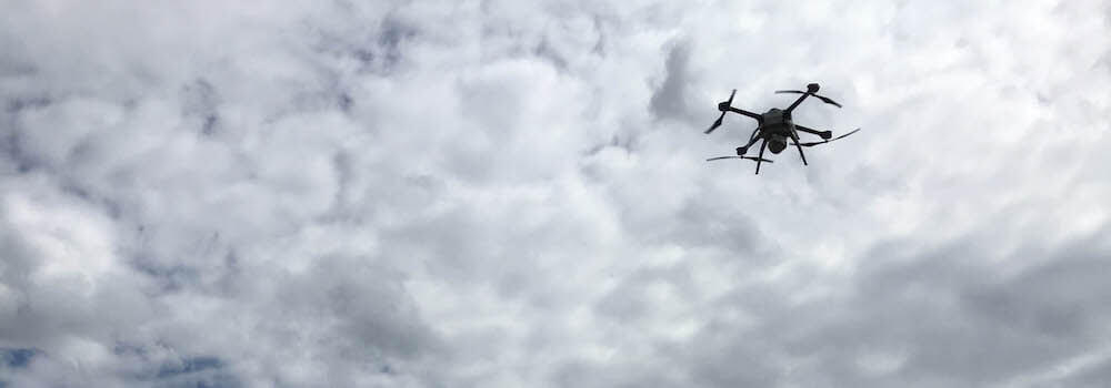
Hands-on Labs
- Deciding when and when not to fly using weather data and METAR
- Understanding flight charts and identifying risks and constraints to flying
- Developing best practices and flight skills – hands on the controller
- Sampling and flight design
- Getting UAV imagery into geographical information systems
- Managing security and accident risk reduction (live scenarios)
Software
 Work with state-of-the-art Mission Control Software provided by Aeryon Labs to develop, simulate, and analyse flight planning scenarios. Combine flight planning with fieldwork goals and logistics to accurately estimate labour requirements and increase efficiency in the field.
![]() Ingest imagery into leading Geographical Information Systems (GIS) software, provided by ESRI, to georeference and integrate flight data with other important data layers. Create added-value products by using spatial queries, spatial statistics, or digitizing to create new data. Then render the results of your work in professional-grade maps.
Ingest imagery into leading Geographical Information Systems (GIS) software, provided by ESRI, to georeference and integrate flight data with other important data layers. Create added-value products by using spatial queries, spatial statistics, or digitizing to create new data. Then render the results of your work in professional-grade maps.
Course Materials
-
 Advisory Circular: Guidance Material for Operating Unmanned Air Vehicle Systems under an Exemption (PDF)
-
Environmental Scan on the Operational Use of Remotely Piloted Aircraft Systems (RPAS) for Geomatics Applications in Canada (PDF)
-
Knowledge Requirements for Pilots of Unmanned Air Vehicle Systems (PDF)
-
Notice of Proposed Amendment (NPA): Unmanned Air Vehicles (PDF)
-
Small Remotely Piloted Aircraft System (RPAS): Best Practices for BVLOS Operations (PDF)