A tipping point for Alberta wetlands
Waterloo biologist works to resuscitate Alberta wetlands lost due to oil sands and urban development

Waterloo biologist works to resuscitate Alberta wetlands lost due to oil sands and urban development
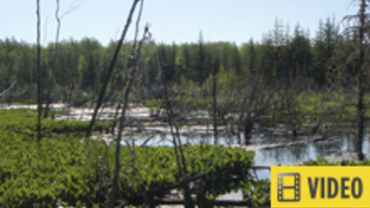
By Victoria Van Cappellen Faculty of ScienceA Waterloo biologist is developing a tool that will assess the health of the small marshes that are part of Alberta’s disappearing wetlands.
More than 50 per cent of the province’s northern wetlands have been lost due to oil sands development. Calgary has lost 70 to 90 per cent of its wetlands through urban expansion.
“We don’t want to lose even more wetlands at such a critical time,” says Rebecca Rooney, assistant professor in Waterloo’s Department of Biology. “This could be a tipping point for wetland sustainability in many areas.”
Wetlands serve several critical functions
Wetlands were once considered unsightly and unusable land, however today their “free” ecosystem services are hard to ignore. Some of their functions include:
Rooney is co-leading a project to develop a critical wetlands assessment tool in support of Alberta’s New Wetland Policy. The policy manages wetlands with an innovative approach based on their function, or ecosystem services. Assessment tools are an integral part of this management plan.
Habitat for shorebirds and groundwater recharge
Rooney’s tool aims to reliably assess the health of small, non-permanent marshes. These marshes provide flexible services, such as habitat for shore birds and groundwater recharge even though they do not always appear to be “wet.”
The idea is to create a comprehensive range of indicators that describe pristine wetlands at one extreme and highly-impacted wetlands on the other.
Some of the indicators include:
The relationship between wetland health and function has also never been established. Rooney is trying to determine if a wetland’s function fails at a particular threshold or whether its function declines gradually.
In addition to developing the assessment tool for individual wetlands, Rooney and project collaborator Derek Robinson of Waterloo’s Department of Geography and Environmental Management are also investigating these small wetlands as landscape systems.
Assessment tool has worked on shallow open water in oil sands
“On a larger spatial scale, these wetlands form a network that is hydrologically and ecologically connected,” said Rooney. “But we don’t know what a healthy network actually looks like. In restoring wetlands, we want to mimic this natural pattern at a landscape level.”
The tool should improve the success rate of wetland reclamation by the oil sands industry and across the rest of the province. Rooney and colleagues at the University of Alberta have already developed a successful wetlands assessment tool for shallow open water habitat in the oil sands.
The current project on non-permanent marshes, which includes Rooney, Robinson, and a researcher from the University of Alberta, will receive $715,000 in funding over the next three years from Alberta Innovates Energy and Environment Solutions.

Read more
The Government of Canada announces funding to support research in food policies and medical devices

New research examines the carbon-removal potential of strategic planting (Getty Images/Zhao Qin).
Read more
AI-powered modelling shows planting in northern forests could help Canada become carbon neutral by mid-century

A member of the research team investigates a stream on the surface of the ice. (University of Waterloo)
Read more
Study reveals that airborne dust promotes algae growth that speeds glacial melt
The University of Waterloo acknowledges that much of our work takes place on the traditional territory of the Neutral, Anishinaabeg, and Haudenosaunee peoples. Our main campus is situated on the Haldimand Tract, the land granted to the Six Nations that includes six miles on each side of the Grand River. Our active work toward reconciliation takes place across our campuses through research, learning, teaching, and community building, and is co-ordinated within the Office of Indigenous Relations.