This article is one of a series celebrating open scholarship during Open Access Week. It is brought to you by the Open Scholarship Committee.
By RJ McArthur
How do we plan our cities in an equitable and just way for a future affected by the massive upheavals of climate change? For the contributors to the Visualizing Future Cities project, to answer this question we must first examine the very tools that have conventionally been used to both inform and express these answers in academic spaces.
The group is made up of Mathieu Feagan, Assistant Professor in the Department of Knowledge Integration at the University of Waterloo, Ananth Udupa, BS in Architecture from Arizona State University, and Duván López, President of RECNET (Recycling the City International Network). The three members are all at different points in their professional careers working on urban sustainability issues.
Through their affiliation with the Visualizing Future Cities project, they are working to find ways “to help early-career scholars learn to use visuals that are going to centre justice in a larger context,” as Feagan puts it. Feagan notes that “using visuals is an accepted and important challenge in understanding cities and sustainability” in academic disciplines.
However, the group realized that there are “patterns around how visuals are used that amplify justice, while others work against it.” While some uses of visualizations have reinforced existing systems of power and established interests, like those of colonializing powers and property owners, others have been used to “map environmental injustice” and even to “reclaim” Indigenous place names from colonial erasure.

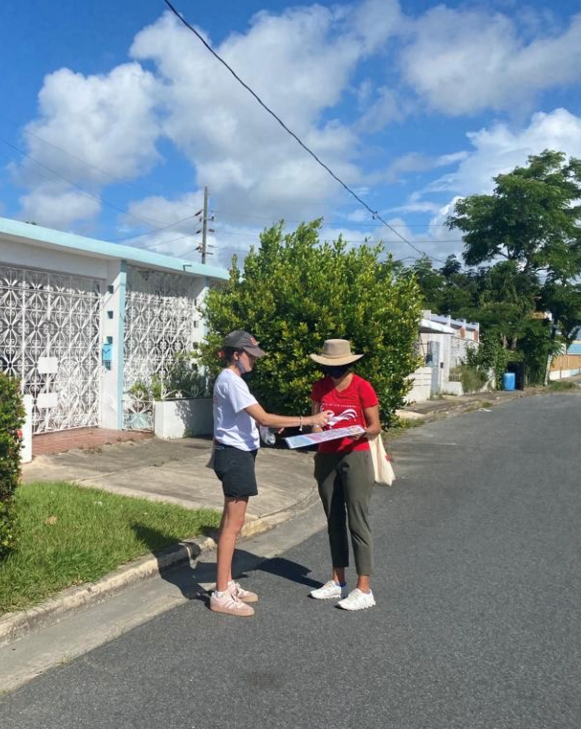
A team member from the NATURA San Juan project conducts an interview with a community member.
Given this contested history, the key question for the group is, as Feagan notes: “How do we visualize knowledge from those already marginalized in visualizing future cities?” Udupa, who came to the project through time spent as a fellow with the NATURA (Nature-based Solutions for Urban Resilience in the Anthropocene) Network in San Juan, Puerto Rico, specifies that their project seeks to “prioritize the lived experience of community members, especially those disenfranchised and affected by climate change.”
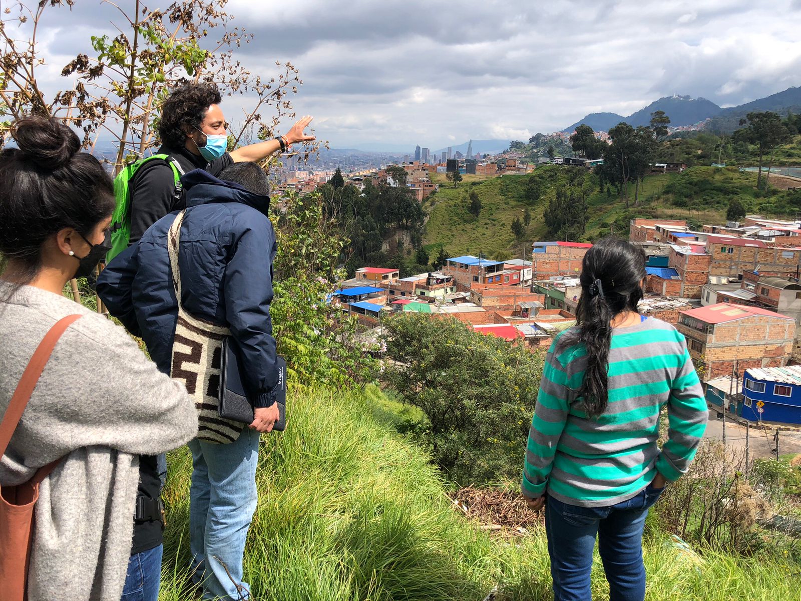
Working from this principle of prioritizing the experiences of those most directly affected by climate change, López notes that “visualization can support a participatory process, a social process to open the window for different kinds of knowledge into the decision-making” around how to plan for climate change. A video put together by RECNET illustrates one particular strategy for “approaching the territory” to bring in different kinds of knowledge through “local labs” in various neighbourhoods in Bogotá, Colombia.

Members of the NATURA Thematic Working Group on Urban Informality consulting with community members in Bogotá, Colombia.
On the other side of the equation, the group aims to also provide easy and open access to this knowledge for the wider public. To that end, they hosted a recent episode of the Future Cities podcast, which features guests providing “insights on…how to use visualizations and what to avoid.” The podcast is freely available on the internet. They are also planning to host a webinar for the NATURA Network, as well as a working group of students in Bogotá next summer.
The ultimate message of the project, Feagan notes, is that technical expertise, such as visualizations, is not neutral, and that it can tend to privilege certain perspectives over others. The project asks those working with these kinds of expertise to “practice a new kind of awareness of our own positionality” in relation to the kinds of knowledge represented and taken into account.
Udupa echoes this sentiment, noting that the public-facing aspects of the project emphasize “accountability and reflection,” which can prompt those working in and studying data science to “examine issues around equity,” ultimately leading to a more equitable and just response to the effects of climate change.


