Urban Ecohydrology Observatory - Southern Ontario, Canada
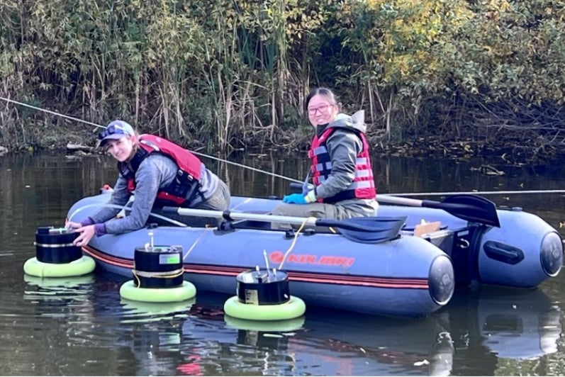
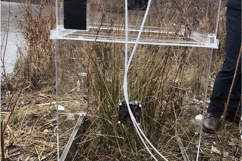
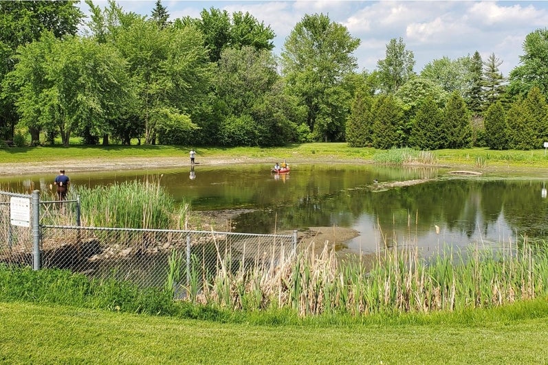
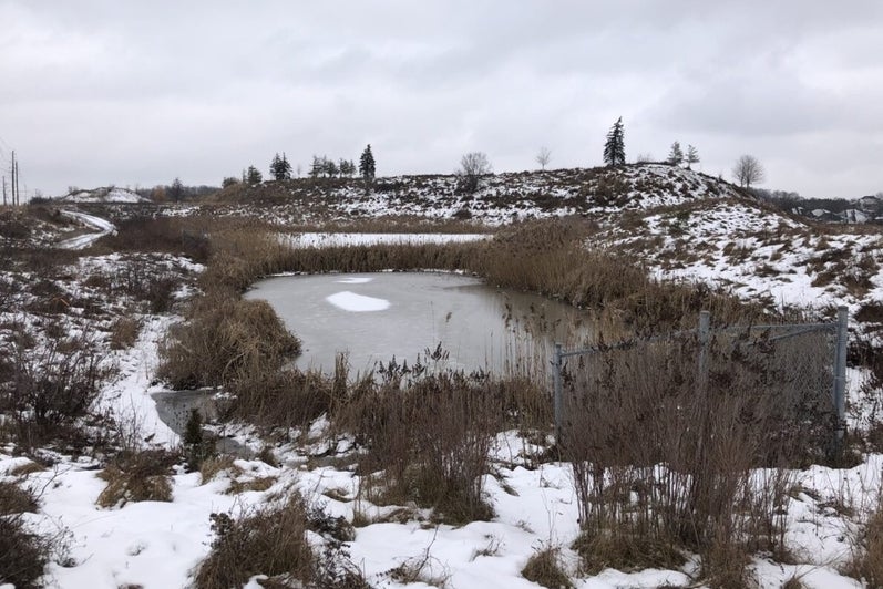
The Urban Ecohydrology Observatory – Southern Ontario, Canada comprises a network of stormwater green infrastructure in the Waterloo Region and the Greater Toronto Area. Research activities focus on source water protection, nutrient and microplastics abatement practices, water quality improvement, and climate mitigation.
The current Urban Ecohydrology Observatory sites are:
- Ajax sewersheds (East and West) discharging directly to Lake Ontario
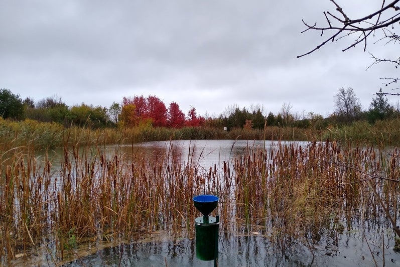
- Richmond Hill stormwater pond (draining a residential area)
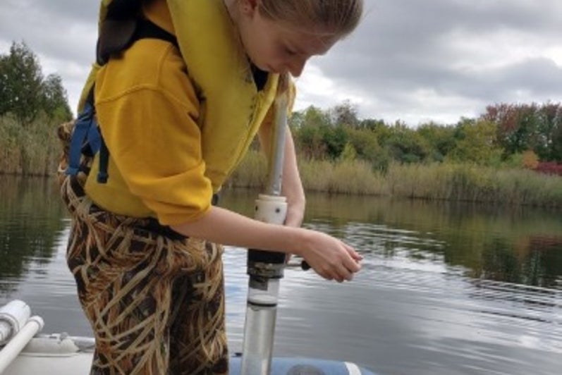
- Lake Wilcox (small kettle lake in the city of Richmond Hill)
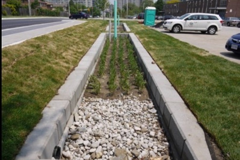
- Mississauga bioretention cell (large multi-cell system)
- Kitchener stormwater ponds (draining variable land use/land cover areas)
Interested in learning more? Contact Fereidoun Rezanezhad.
Grand River Watershed
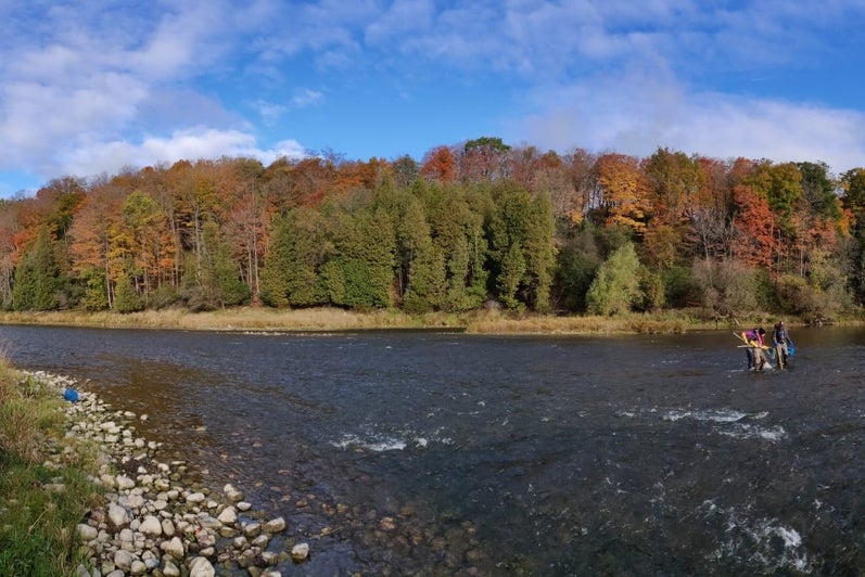
The Grand River has a length of about 300 km and discharges in the eastern basin of Lake Erie. The Grand River watershed covers approximately 6800 km2 and is home to close to 1 million people, mostly concentrated in urban centers of the central region, including Kitchener, Waterloo, Guelph, Cambridge, and Brantford.
Agricultural land use covers about 60% of the watershed. In addition to agricultural nonpoint source pollution inputs, the Grand River also receives wastewater inputs from around 30 communities. Groundwater is a key water resource in the Grand River watershed, with close to 70% of the municipal drinking water sourced either solely from groundwater or from blended groundwater/surface water supplies.
The watershed comprises seven large multi-purpose reservoirs on the tributaries and the main stem of the Grand River. The Grand River Conservation Authority (GRCA) operates these reservoirs to prevent flooding events and to support sufficient year-round water supply and wastewater assimilation capacity. The Grand River watershed offers many opportunities to study the impacts of land and water best management practices, climate conditions, urban growth land other use changes, geology, on water flows and water quality. The GRCA conducts extensive environmental monitoring in the Grand River water. The GRCA monitoring data and other information can be accessed on the GRCA website.
Interested in learning more? Contact Mark Servos.
rare Charitable Research Reserve
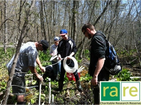
The rare Charitable Research Reserve is a community-based urban land trust which protects over 1,200 acres of highly sensitive lands across eight properties in Waterloo Region and Wellington County.
The Ecohydrology Research Group conducts research at Bauman Creek and agricultural fields to study groundwater-surface water interactions, agricultural soil nutrient and carbon dynamics, and riparian zone biogeochemistry.
Interested in learning more? Contact Fereidoun Rezanezhad.
Lake Erie
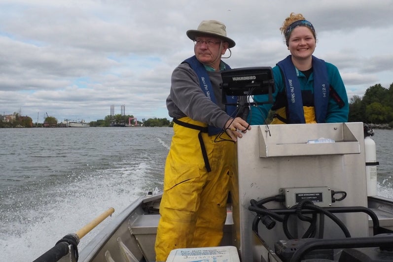
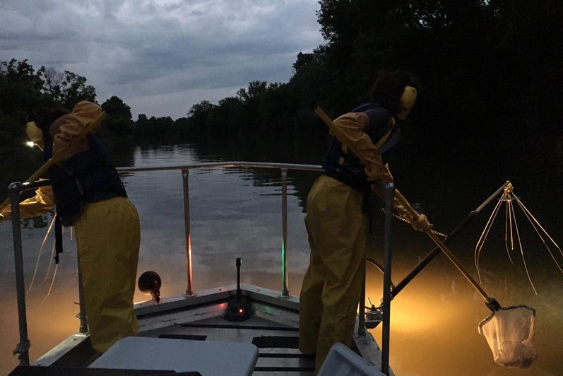
Lake Erie is located between Lake Huronand Lake Ontario and consists of the Huron-Erie Corridor (HEC) and Lake Erie proper. In addition to its own watershed, HEC receives water and accompanying chemical loads from Lake Huron. Lake St. Clair is a relatively large, shallow, oligo-mesotrophic, polymictic lake (mean depth = 3.8 m; maximum natural depth = 6.4 m). It is connected to Lake Huron via the St. Clair River and flows into the Detroit River that, in turn, flows into the western basin of Lake Erie. Note that the St. Clair River and Detroit River are connecting channels rather than actual rivers.
Lake Erie itself is a large, relatively shallow lake separated topographically into three basins with distinct morphometric characteristics, mixing regimes, and trophic conditions. The western and eastern basins are the most and least productive, respectively. The western basin is the shallowest (mean and maximum depths: 7.3 and 19 m), characterized by a prevailing polymictic mixing regime, but with short episodes of hypoxia during summer, and dense cyanobacterial blooms towards the end of summer and early fall. The western basin is separated from the central basin by a chain of rocky islands and shoals. The central basin is dimictic (mean and maximum depths: 18.3 and 26 m) and deep enough to stratify vertically from mid-June to mid-late October with a hypolimnion susceptible to seasonal hypoxia. The eastern basin is the deepest (mean and maximum depths: 24 and 63 m) with the second largest volume and surface area. The major outflow from Lake Erie is through the Niagara River, the channel connecting Lake Erie to Lake Ontario, and the Welland Canal which was built to bypass the Niagara Falls and provide a deep draft navigation connection between the two lakes.

Lake Erie has been closely monitored since the 1970s by both Canadian and U.S. agencies. Efforts to control eutrophication of the lake have focussed on the inputs and cycling of the main limiting nutrient phosphorus (P). A synthesis of the available data on the P budget of Lake Erie has been summarized in a recent publication.
Interested in learning more? Contact: Philippe Van Cappellen
Western Lake Ontario
Lake Ontario, the easternmost and terminal lake in the Laurentian Great Lakes (LGL) chain, is the smallest LGL in terms of surface area (19,000 km²) but still ranks as the 13th largest lake globally. The lake has a 6-to-8-year water residence time. It receives water primarily from upstream Lake Erie via the Niagara River, supplemented by inflow from multiple rivers and canals. The lake discharges at its eastern end into the St. Lawrence River. Lake Ontario serves as a drinking water source for nine million people and accommodates 36 water treatment plants along its shores. It receives nutrients from multiple sources, including agricultural and urban runoff, municipal wastewater treatment and industrial effluents, and stormwater outflows.
GWFO research focuses on the western section of Lake Ontario, which is surrounded by Canada’s largest urban area, the Golden Horseshoe. Western Lake Ontario also includes three Areas of Concern (AOCs): the Toronto waterfront, the Niagara River outflow area, and Hamilton Harbour.
Hamilton Habour is a shallow, semi-enclosed embayment connected to Lake Ontario via a shipping channel. It spans 21.5 km² and reaches depths up to 24 m. Compared to other nearshore zones of Lake Ontario, Hamilton Harbour is characterized by calmer waters and warmer summer temperatures, which favour harmful cyanobacterial blooms and the development, and persistence, of hypoxia and anoxia in the hypolimnion.
Interested in learning more? Contact Philippe Van Cappellen.


Elora Agricultural Research Station
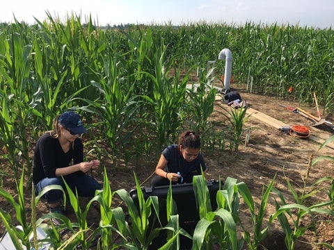
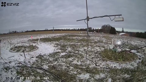
The Elora site (43°38′14.9″N, 80°22′55.0″W) is an agricultural research station operated by the University of Guelph (PI: Professor Claudia Wagner-Riddle). The station is located in Elora, Ontario, Canada, and comprises 18 cylindrical weighing lysimeters installed within a 0.1 ha agricultural field. Each lysimeter is positioned in a 3 m × 10 m plot, arranged in nests of six lysimeters. The lysimeters are 1 m2 in diameter and 1.5 m in depth and are suspended onto load cells in concrete wells, with their weights monitored every minute with ±10 g resolution. The lysimeters vary in soil type, crop rotation, and application of winter warming. For a more detailed explanation of the lysimeter systems at Elora Research Station, the reader is referred to Brown et al. (2017, Journal of Hydrology, 2017, 603, 1270370). Environmental parameters, including air temperature, precipitation, and snowfall, are also recorded hourly at the Environment and Climate Change Canada Elora Weather Station.
Interested in learning more? Contact Fereidoun Rezanezhad.
Fanshawe Reservoir
Dammed reservoirs modify nutrient flows and speciation along the river continuum. For instance, Waterloo researchers found that, on a global scale, reservoirs retain an estimated 12% of the riverine TP load. However, the retention efficiency of individual reservoirs varies widely, with some reservoirs even acting as a source rather than a sink. Fanshawe Reservoir offers a well-studied system to investigate the multiple physical and biogeochemical processes that modulate the effect of river damming on nutrient flows.
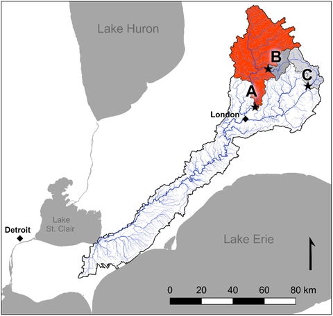
Fanshawe Reservoir is one of the three major dammed reservoirs on the Thames River in southern Ontario. Of these, Fanshawe Reservoir (indicated as "A" on the adjacent map) is the most downstream and has the largest watershed area, surface area, and water storage volume (1430.7 km2, 2.7 km2, and 13.1 × 10⁶ m3). Note that the Thames River discharges to Lake St. Clair and subsequently to Lake Erie through the Detroit River. Fanshawe dam was constructed in 1953, primarily for flow regulation and to avoid flooding in the city of London, Ontario, which is located approximately 12 km downstream of the dam. Operated and maintained by the Upper Thames River Conservation Authority (UTRCA), Fanshawe Reservoir also generated hydroelectricity (2860 megawatt year−1) and recreational opportunities. An example of the research opportunities offered by the reservoir can be found at DOI: 10.1016/j.jglr.2021.11.008.
Interested in learning more? Contact: Philippe Van Cappellen.

Alder Creek Watershed
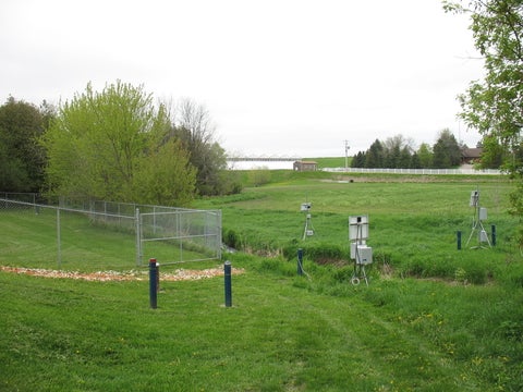
The Alder Creek Watershed Observatory is a sub-basin (78 km2) of the larger Grand River watershed and is located within the Waterloo Moraine at the intersection of rural and urban settings at the edge of Kitchener and Waterloo, Ontario. Agriculture land use dominates by area (70%), although the region is becoming the focus of rapid urbanization. Additional land use activities within the Alder Creek watershed include aggregate resource operations, residential areas, a small flood management reservoir, wetlands and woodlots, and an active landfill.
The Alder Creek Watershed is also the source of approximately 25% of the public water supply for the Kitchener -Waterloo urban centers, with most of the supply being drawn from the underlying groundwater resources. An Aquifer Storage and Recovery system managed by the Regional Municipality of Waterloo also influences the hydrology of the Alder Creek Watershed. Land use activities, non-point sources of contamination, and the influence of extensive groundwater extraction on surface water features are critical to understanding the long-term trajectory of this rapidly urbanizing landscape. The types of datasets and instruments available are summarized in a recent publication.
Interested in learning more? Contact David Rudolph.

Turkey Lakes Watershed
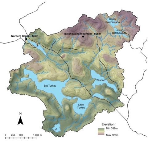
The Turkey Lakes Watershed (TLW) is located in the Eastern Temperate Mixed Forest on the Canadian Shield, 60 km north of Sault, Ste. Marie, Ontario (indicated as a red star on the adjacent map). It has a surface area of 10.5 km2 and is comprised of 4 lakes (Batchawana, Wishart, Little Turkey, and Big Turkey) connected by Norberg Creek, and drains into Lake Superior through the Batchawana river.
The study on TLW started in 1979 with focus on biogeochemical and ecological processes using a whole ecosystem approach and the effects of acid rain on terrestrial and aquatic ecosystems. It has evolved to include investigations on effects of climate change, organic contaminants, habitat alteration, forest management, and other ongoing or emerging environmental issues relating to natural and anthropogenic disturbances. The studies conducted at TLW have made important contributions to Canadian and international policies, and advancements in ecosystem and water science with more than 400 scientific publications. More information about the site, data collection, and current studies can be found on the Turkey Lakes Watershed webpage.

