Information resources, both digital and printed, focus on the local area: Kitchener, Waterloo, Region of Waterloo, and adjacent Ontario counties.
The Geospatial Centre has acquired significant data resources, including provincial environmental data, nationwide Canadian street data, and orthoimagery for all of Southwestern Ontario.
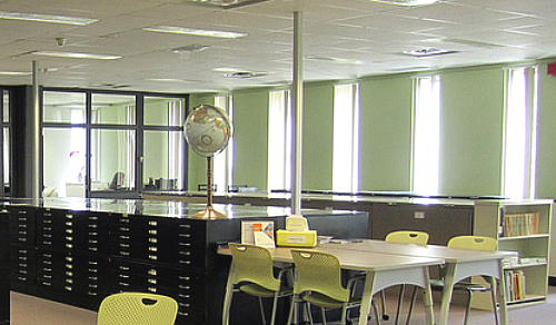
Valued printed collections include:
- 20,000 maps, ranging from maps of the City of Waterloo to maps of the world,
- 55,000 aerial photographs of various parts of Southwestern Ontario, and
- 500 atlases for Canada and countries around the world.
Located on the third floor of Dana Porter Library, the Geospatial Centre has Geographic Information System (GIS) computer stations for use by appointment.