Contact the Geospatial Centre
Dana Porter Library, Room 328
University of Waterloo Library
Waterloo, Ontario N2L 3G1
(519) 888-4567 x32795
Purchased from EastView, this census database for Chile is divided into 4 variables: Demographic, Housing, Migration, and Social, encompassing the many districts of cities and municipalities.
There are files consisting of gdb's, shapefiles, XML metadata, and the original documents containing each of these census variables. Attribute tables of the shapefiles usually include variables like the region, provinces, or districts, in which they are highlighted with information regarding housing, migration etc.
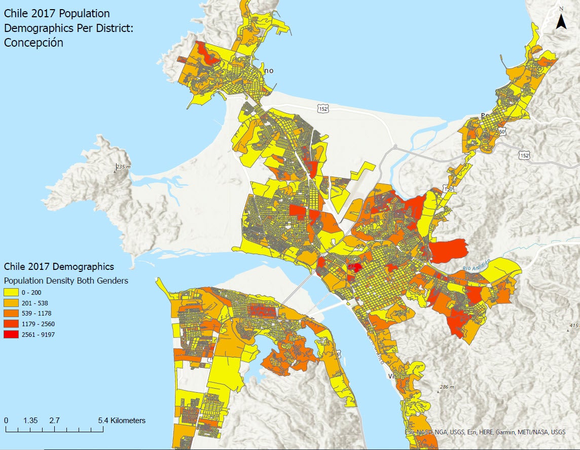
Data files in shapefile format can be accessed from the Geospatial Centre during reference hours. Library reference staff are available to provide further information about these data sets and to deliver data upon request. Under the terms of the Library's license agreement, these data sets are for use by students, faculty, and staff at the University of Waterloo only.
Sample data:
There are public workstations in the Geospatial Centre that provide access to ArcGIS software programs, program extensions and data manipulation utilities. The LandScan database also comes with a set a custom tools for advanced querying and analysis. Patrons may use the custom tools as well as the GIS and image processing software in the library to view and manipulate the data. UWaterloo faculty, students and staff may copy these data for use elsewhere.
This image may be exported from ArcGIS in a choice of bitmapped formats (also known as raster graphics) including JPG, TIFF, GIF, and BMP or in a choice of vector graphics formats including Adobe Illustrator (AI), Encapsulated Postscript (EPS), and Scalable Vector Graphics (SVG). Data derivatives can also be exported as a PDF.
These data are provided for personal use for academic, research, and/or teaching purposes. A data release agreement must be agreed to before these licensed data can be released. EastView Geospatial must be acknowledged on any derivative product, whether printed or electronic, including for example, a printed map, a raster or vector graphic, a web-based application, etc.
Chile 2017 Census Data [computer file]: EastView Geospatial, [2017].
Dana Porter Library, Room 328
University of Waterloo Library
Waterloo, Ontario N2L 3G1
(519) 888-4567 x32795
The University of Waterloo acknowledges that much of our work takes place on the traditional territory of the Neutral, Anishinaabeg and Haudenosaunee peoples. Our main campus is situated on the Haldimand Tract, the land granted to the Six Nations that includes six miles on each side of the Grand River. Our active work toward reconciliation takes place across our campuses through research, learning, teaching, and community building, and is centralized within our Office of Indigenous Relations.