Data access
Full access to our resources is available to current students, faculty, and staff of the University of Waterloo. To request access, please complete the Ask-Us form indicating the specific layers (shapefiles) you require. Upon completion of the data release agreement form, the dataset will be provided to you via OneDrive.
In-person consultations may also be requested through the Ask-Us form.
Description
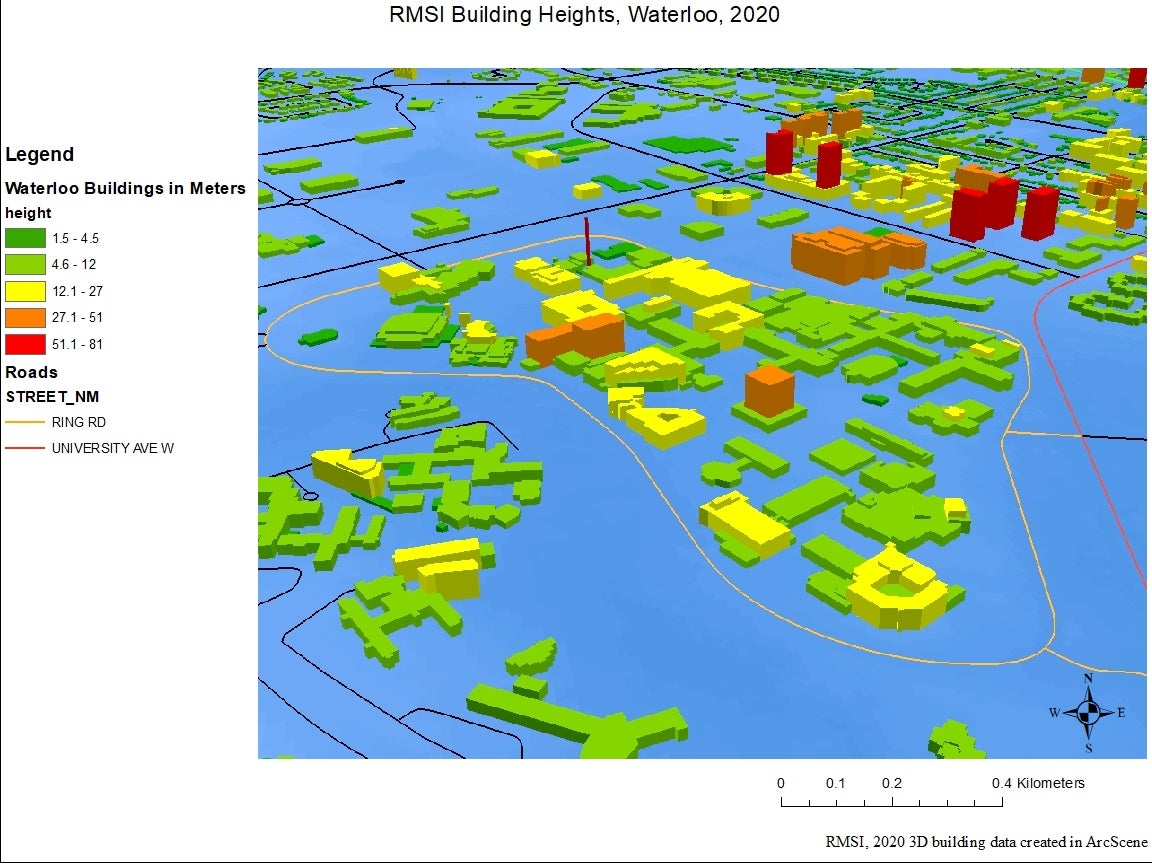
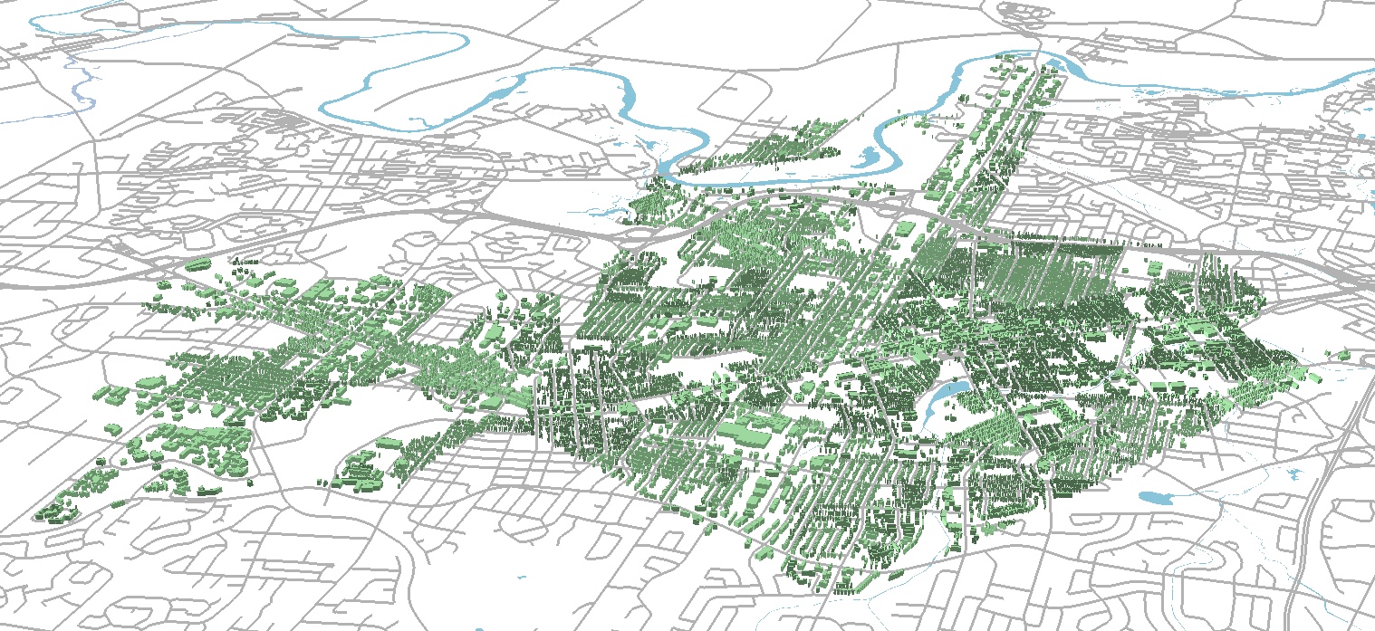
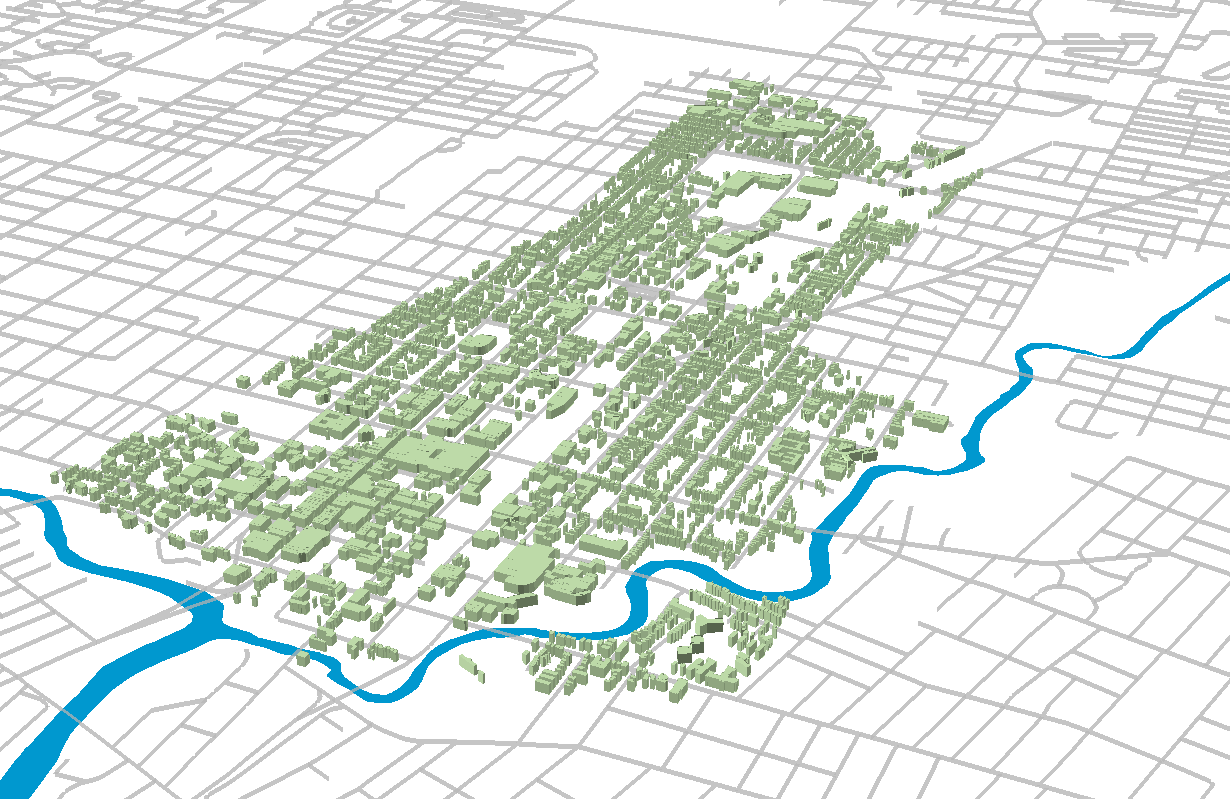
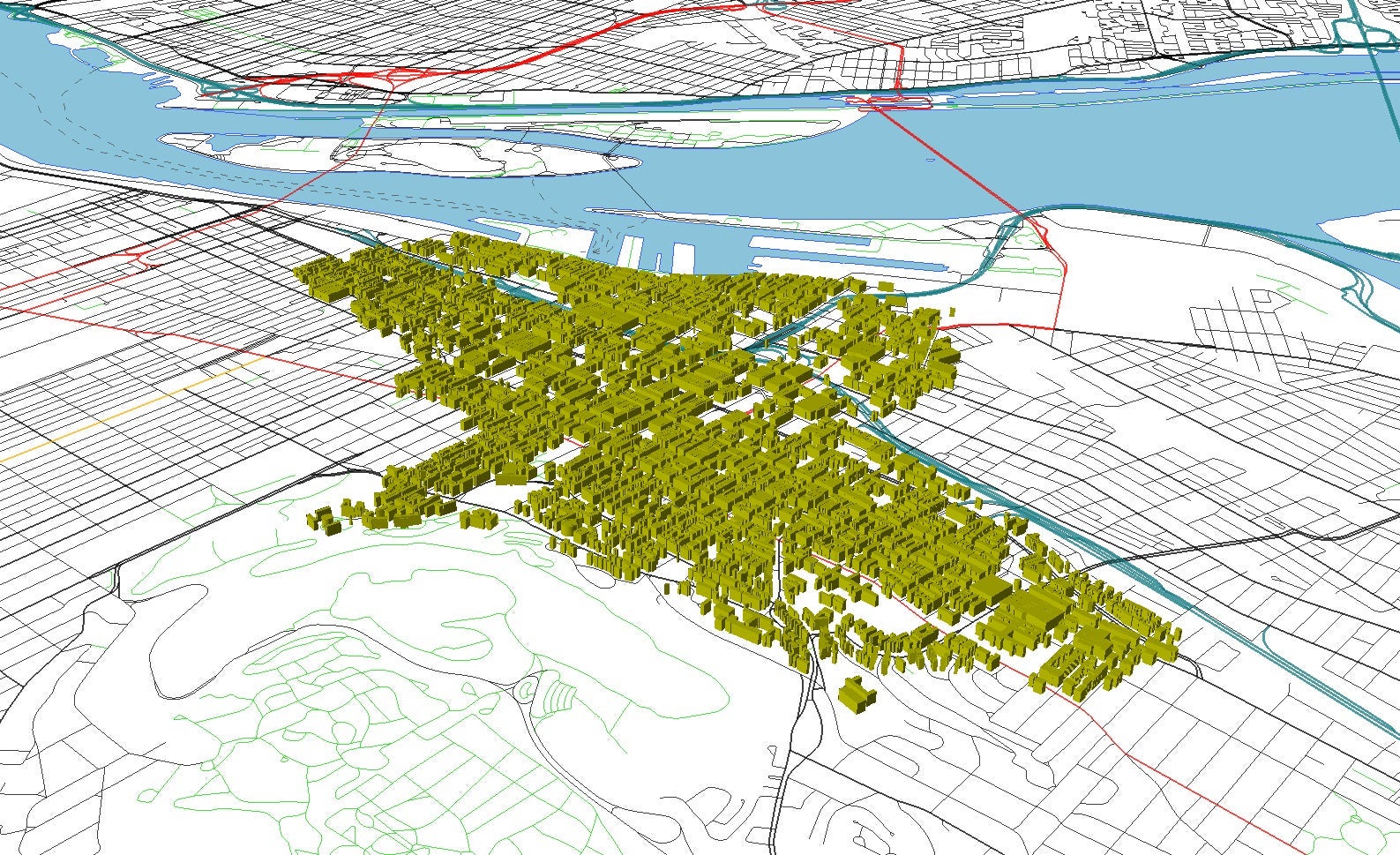
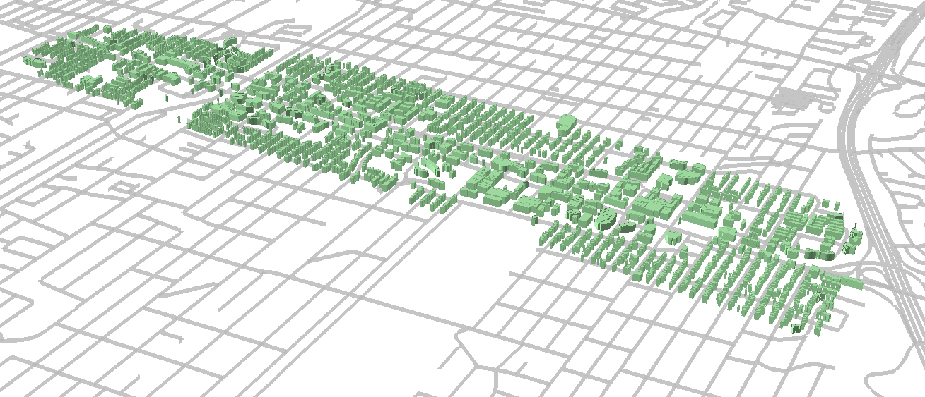
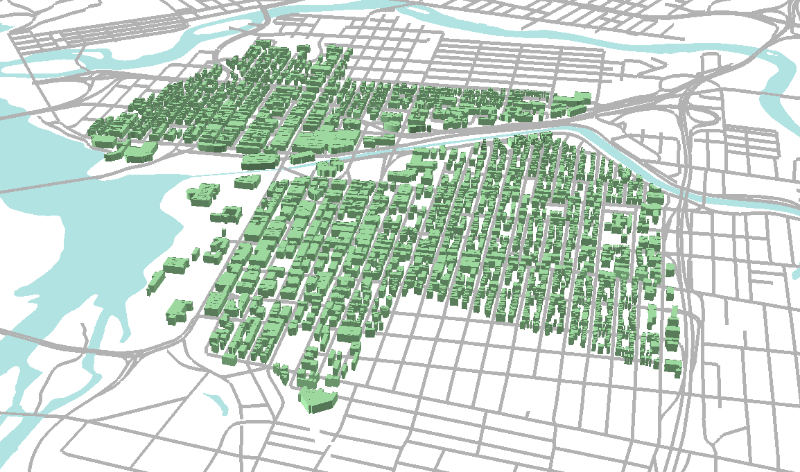
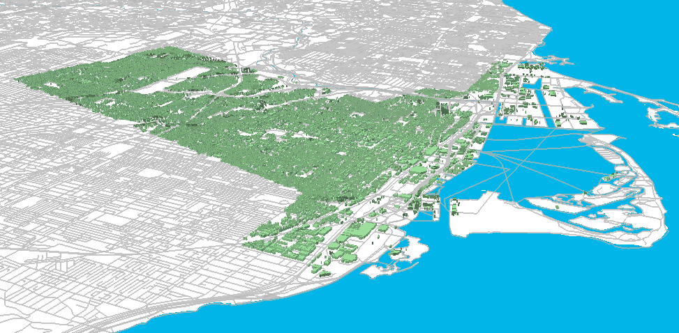
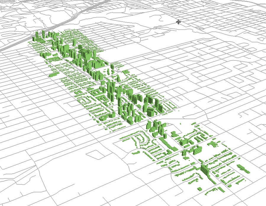
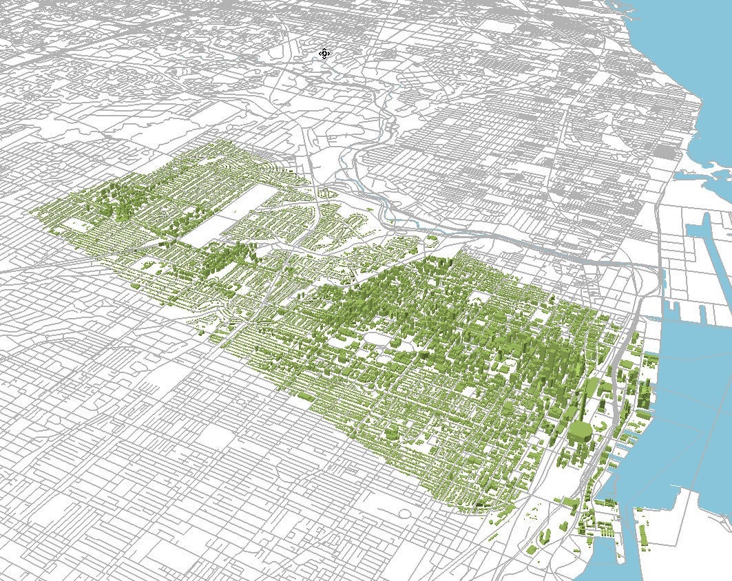
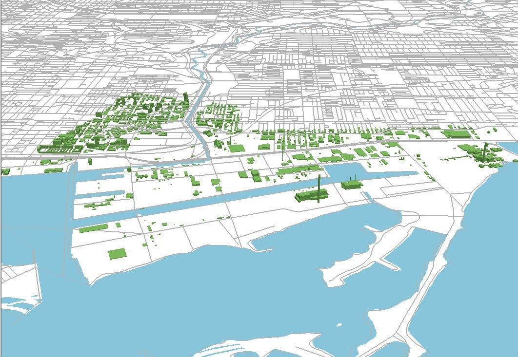
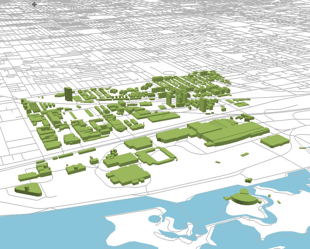
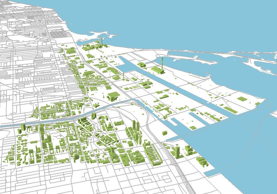
This building height data was received from Risk Management Solutions Incorporated (RMSI) global in the spring/summer of 2010 and 2020 and covers the core areas of several key cities across Canada. The list of cities is available below. 3D Building Height models can be created using Digital Globe's WorldView 1 50 cm satellite imagery. The building heights are +/- 10% of the true heights for 90% of the buildings.
The Geospatial Centre has building height data for these cities:
Spatial reference and data type
These data sets are available in Universal Transverse Mercator (UTM) co-ordinates; horizontal datum is World Geodetic System (WGS) 84, North American Datum (NAD) 83. These data are stored as Esri shapefiles and raster format.
Use restrictions/licensing/copyright
This material is provided for academic, research, teaching, and personal use only. A data release agreement must be agreed to before the data is delivered. RMSI Global should be acknowledged on any derivative product, such as a map or an image.
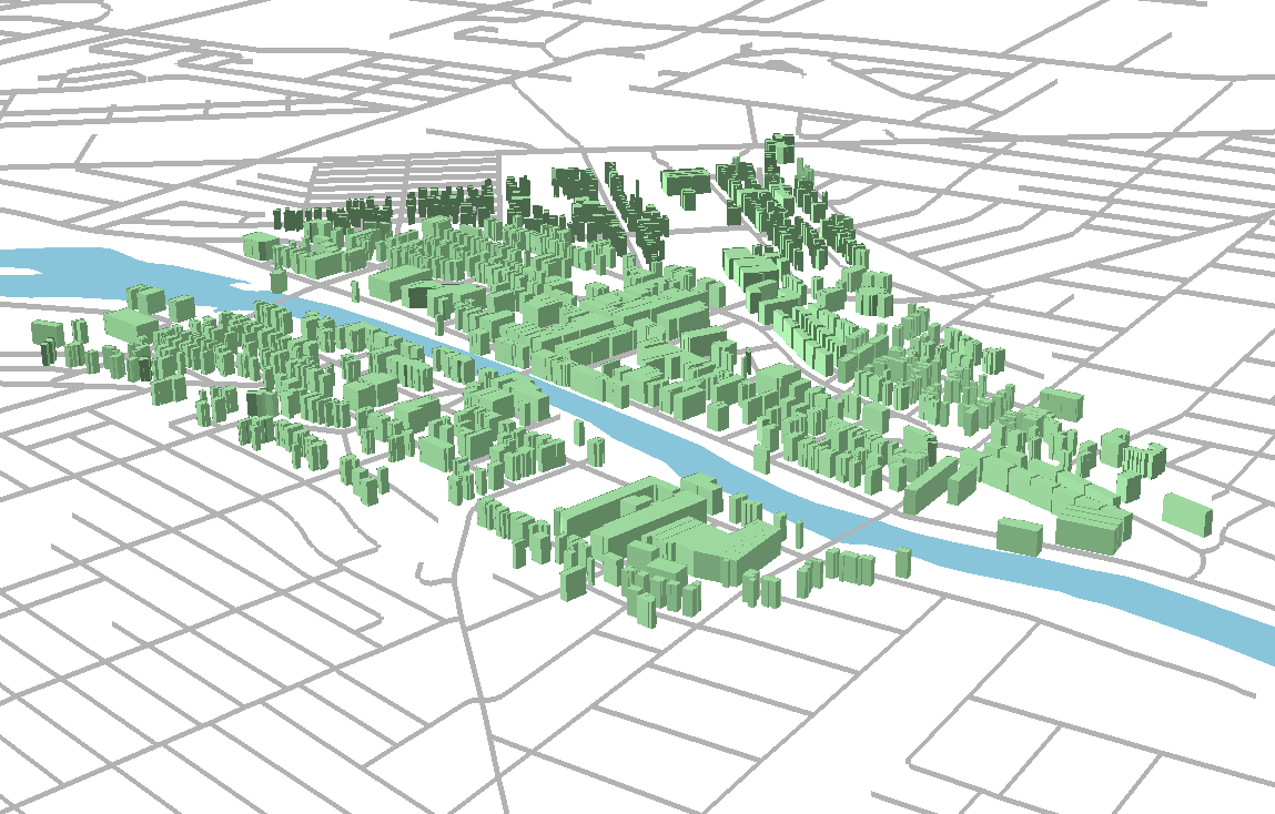
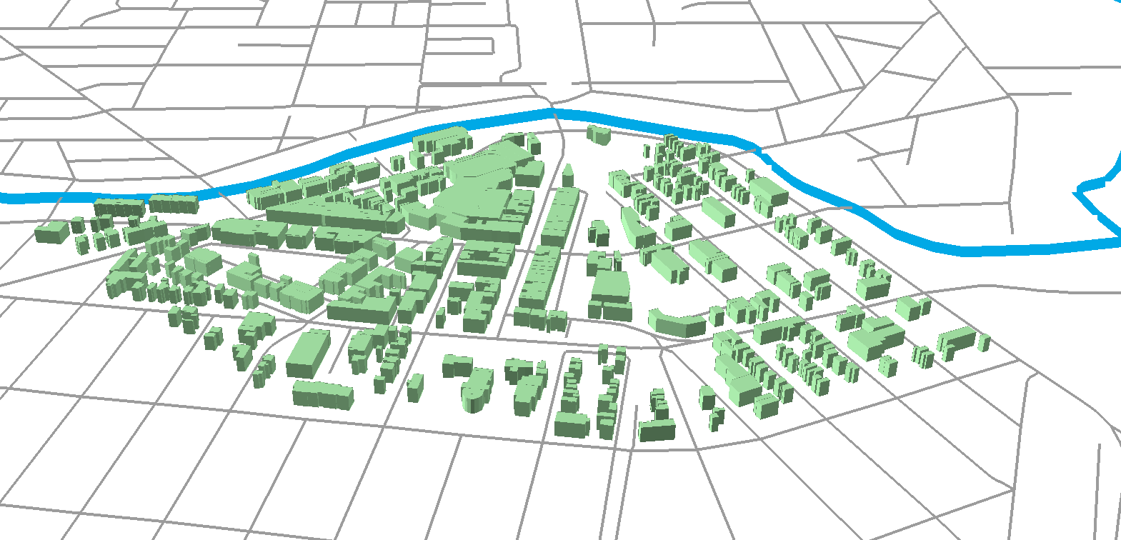
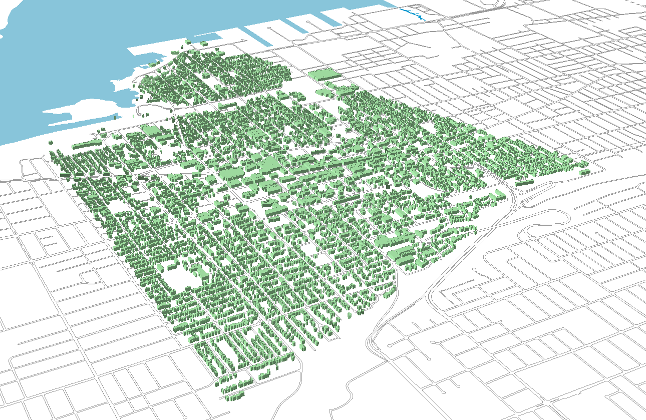
Sample view of the data