Data access
Full access to our resources is available to current students, faculty, and staff of the University of Waterloo. To request access, please complete the Ask-Us form indicating the specific layers (shapefiles) you require. Upon completion of the data release agreement form, the dataset will be provided to you via OneDrive.
In-person consultations may also be requested through the Ask-Us form.
Description
Mississauga Data is a website that contains urban planning related reports, newsletters, brochures and data. The Information Planning Research Unit manages statistical data including: population; demographics; census; development monitoring/activity; growth forecasts; housing; employment; office; land use; vacant employment lands, and the environment.
This data resource was downloaded from the City of Mississauga Open Data Catalogue in September 2012.
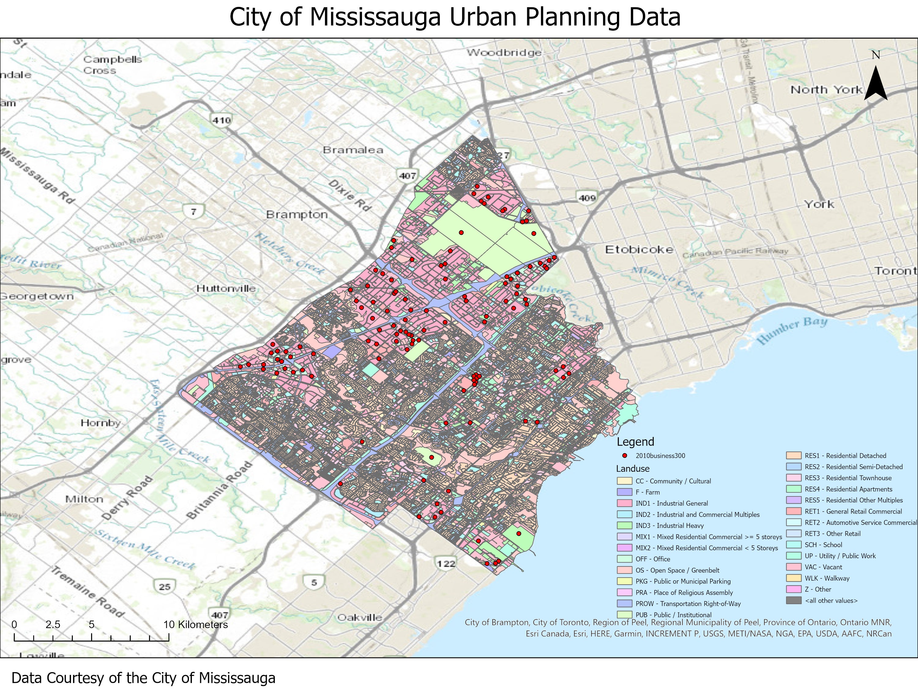
The resource includes the following vector coverages:
- 2010 business 300
- character area
- city ward boundaries
- employment growth forecast
- existing land use 2010
- housing growth forecast
- multi unit residential inventory
- natural area survey 2010
- office building parcels
- planning districts
- residential building parcels
- townhouse complex parcels
Spatial reference and data type
This data set is available in Universal Transverse Mercator (UTM) co-ordinates; horizontal datum is North American Datum (NAD) 83 UTM zone 17. Data are stored as Esri shapefiles. Other data formats can be accommodated, as the Geospatial Centre has access to a number of conversion utilities.
Use restrictions/licensing/copyright
Terms of use (PDF) are intended to protect and promote the City of Mississauga's commitments to open data and ensure that the recipients of these datasets give back to the community the benefits they derive from these datasets and other information downloaded from the City of Mississauga Publications and Open Data Catalogue.
Citation
The City of Mississauga municipal data [computer file]. Mississauga, Ontario: The City of Mississauga, [2010].
Sample view of the data