Data access
Full access to our resources is available to current students, faculty, and staff of the University of Waterloo. To request access, please complete the Ask-Us form indicating the specific layers (shapefiles) you require. Upon completion of the data release agreement form, the dataset will be provided to you via OneDrive.
In-person consultations may also be requested through the Ask-Us form.
Description
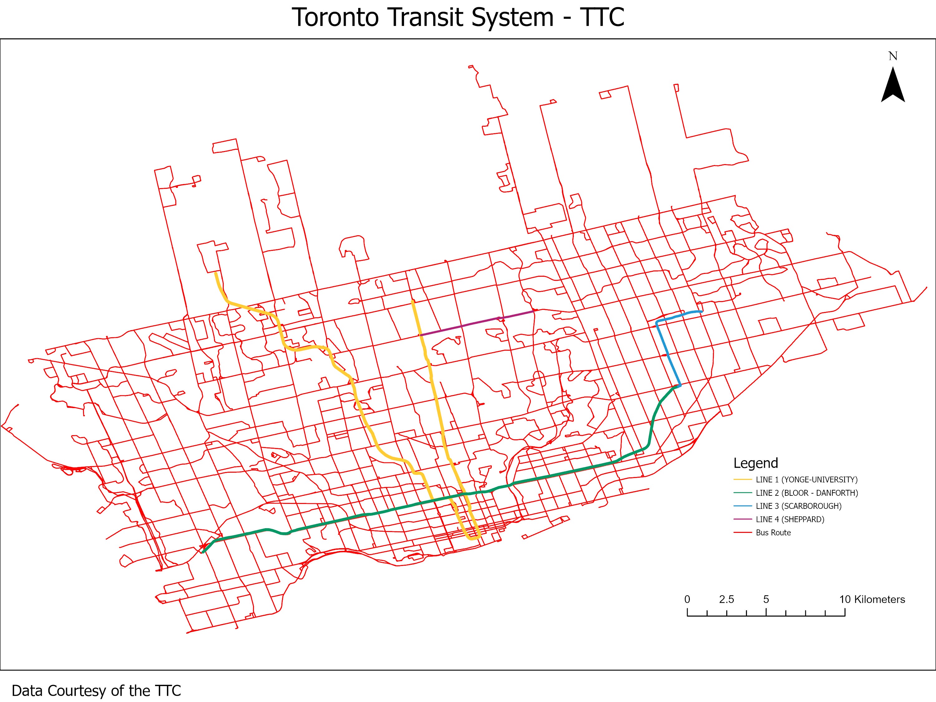
This data resource show subway and bus routes, as well as subway stations for the city of Toronto. This data were provided to the Geospatial Centre by the Toronto Transit Commission (TTC) in October 2003, and updated February, 2014, 2020 and in 2024. Ridership data is available for 2024.
Spatial reference and data type
These datasets are available in Universal Transit Mercator (UTM) co-ordinates; horizontal datum is North American Datum (NAD) 83. These data are stored as Esri shapefiles. Other data formats can be accommodated, as the Geospatial Centre has access to a number of conversion utilities.
Use restrictions/licensing/copyright
This material is provided for academic, research, teaching, and personal use only. A data release agreement must be agreed to before the data is delivered. The City of Toronto should be acknowledged on any derivative product, such as a map or an image.
Citation
Toronto Transit System [computer file]. Toronto, Ontario: Toronto Transit Commission. [2020].
Sample view of the data