Description
This data resource is available in both colour (RGB) as well as infrared (CIR) mosaics. Both mosaics cover the entire City of Waterloo and have a pixel resolution of 12 cm. This data was provided to the Geospatial Centre by the City of Waterloo in January 2015.
Spatial reference and data type
These georeferenced mosaics are available in Universal Transverse Mercator (UTM) coordinates; horizontal datum is North American Datum (NAD) 83, zone 17 North. They are both stored as a compressed MrSID data file, with an accompanying Sid World (SDW) file. File sizes are 1 GB for the colour mosaic, and 1.1 GB for the infrared mosaic.
Data access
To request this data, please fill out the Ask-Us form and include which layers (shapefiles) you are interested in obtaining. The dataset will be shared with you via OneDrive upon completion of the data release agreement form. You may also make an in-person appointment using the same form.
Use restrictions/licensing/copyright
These data are provided for personal use for academic, research, and/or teaching purposes. A data release agreement must be agreed to before these licensed data can be released. The City of Waterloo must be acknowledged on any derivative product, whether printed or electronic, including for example, a printed map, a raster or vector graphic, a web-based application, etc. Patrons are advised to fully respect the provisions of Canada's Copyright Act as well as terms and conditions imposed by the data provider.
Citation
City of Waterloo Digital Orthophotos [computer file]. Waterloo, Ontario, [2014].
Sample view of the data
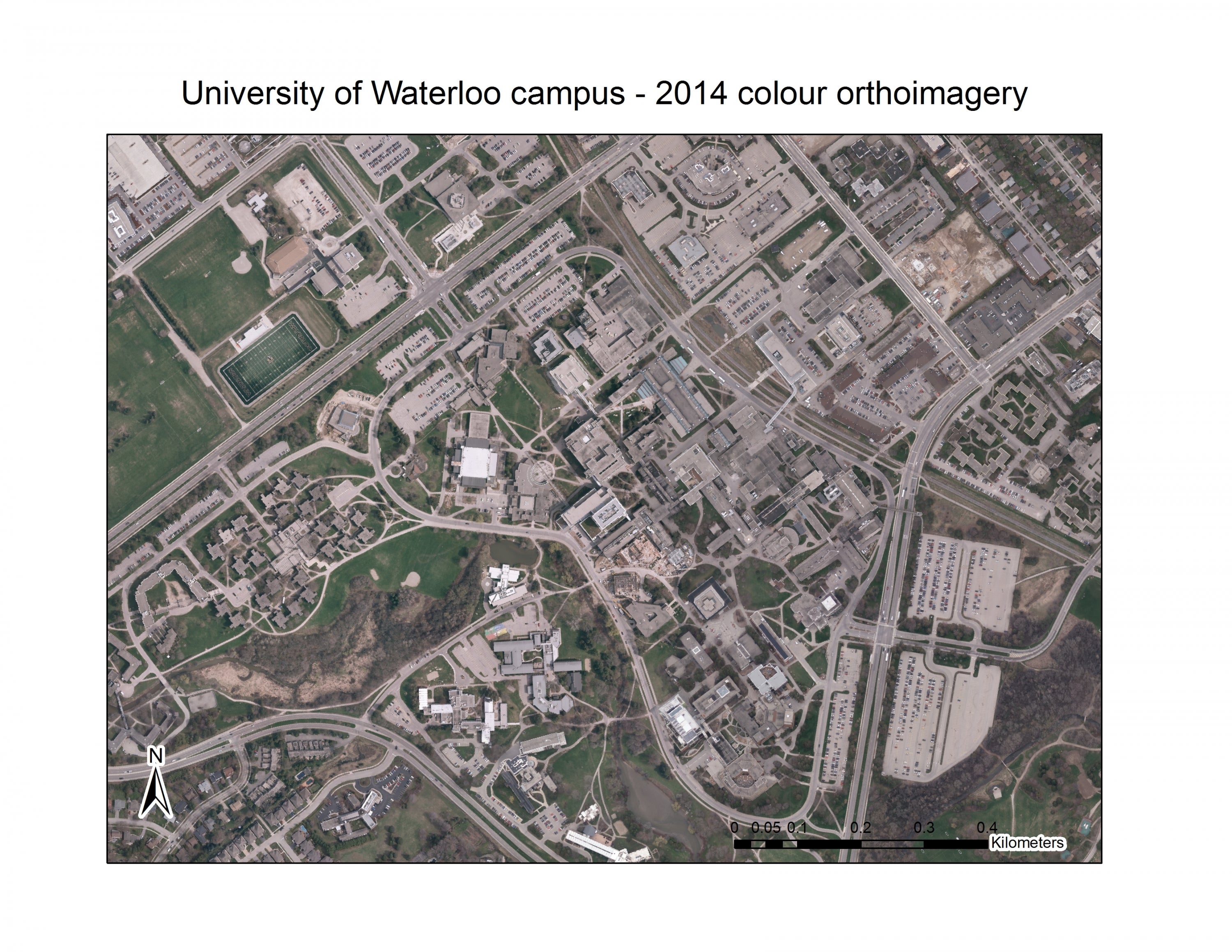
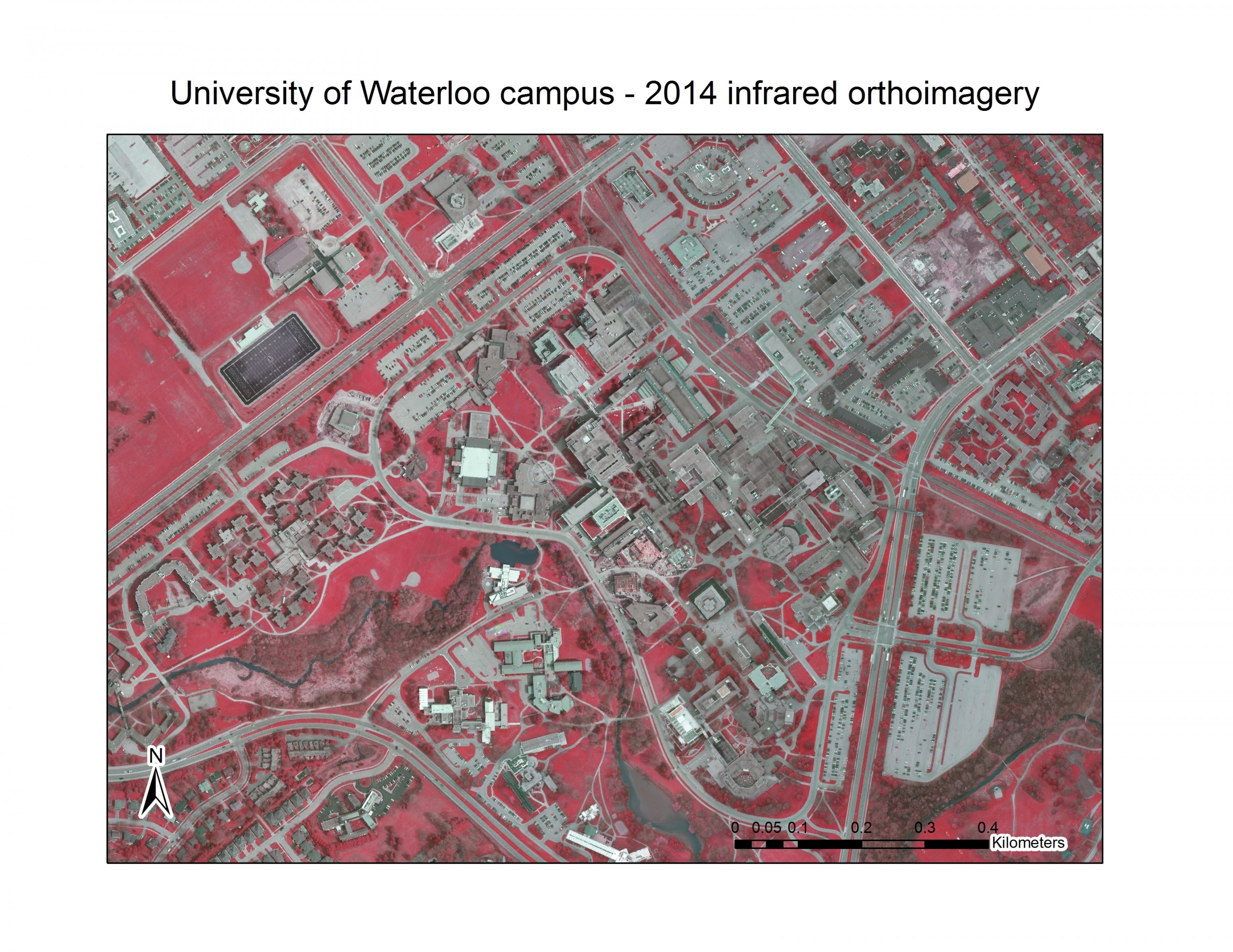
Data courtesy of the City of Waterloo