Description
Land Information Ontario, as well as most municipalities in southwestern Ontario and a number of other public and private sector organizations collaborated to acquire digital orthophotography for approximately 42,000 square kilometres of land in southwestern Ontario.
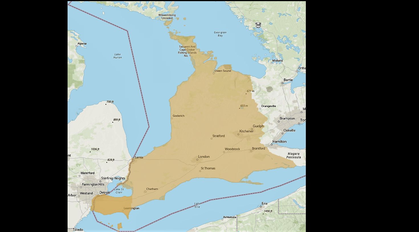
These digital orthoimages provide full-colour aerial coverage for most of southwestern Ontario. The library has all the counties covered by SWOOP. These images were flown in April 2006 by First Base Solutions and provided to the Geospatial Centre by Land Information Ontario through the Ontario Geospatial Data Exchange in October 2006. The resolution of these photos is 30 cm. Coverage of the Region of Waterloo consists of over 1500 image tiles. You may wish to consult the following indexes for tile numbers. Mosaics are also available for the east and west portions of the Region of Waterloo.
- County of Brant: East Index (PDF) | West Index (PDF)
- County of Bruce: Southwest Index (PDF) | Southeast Index (PDF) | North Peninsula Index (PDF) | South Peninsula Index (PDF)
- County of Chatham-Kent: West Index (PDF) | East Index (PDF)
- County of Dufferin: West Index (PDF)
- County of Elgin: West Index (PDF) | East Index (PDF)
- County of Essex: West Index (PDF) | East Index (PDF) | Pelee Island Index (PDF)
- County of Grey: Northwest Index (PDF) | Northeast Index (PDF) | Southwest Index (PDF) | Southeast Index (PDF)
- County of Haldimand: East Index (PDF) | West Index (PDF)
- County of Huron: North Index (PDF) | Centre Index (PDF) | South Index (PDF)
- County of Lambton: North Index (PDF) | South Index (PDF) | Walpole Island Index (PDF)
- County of Middlesex: North Index (PDF) | Southwest Index (PDF) | Southeast Index (PDF) | City of London Index (PDF)
- County of Norfolk: North Index (PDF) | South Index (PDF)
- Township of North Dumfries Index (PDF)
- County of Oxford: North Index (PDF) | South Index (PDF)
- County of Perth: North Index (PDF) | South Index (PDF)
- Township of Wellesley Index (PDF)
- County of Wellington: West Index (PDF) | Centre Index (PDF) | East Index (PDF)
- Township of Wilmot Index (PDF)
- Township of Woolwich (north) Index (PDF)
- Township of Woolwich (south) Index (PDF)
- Cambridge Index (PDF)
- Kitchener Index (PDF)
- Waterloo Index (PDF)
- Regional Municipality of Waterloo (RMOW): Northwest Index (PDF) | Northeast Index (PDF) | Southwest Index (PDF) | South Central Index (PDF) | Southeast Index (PDF)
Spatial reference and data type
These georeferenced images are available in Universal Transverse Mercator (UTM) coordinates; horizontal datum is North American Datum (NAD) 83. They are stored as GeoTIFF image files. Average file size for a TIFF image is 32 MB.
Data access
To request this data, please fill out the Ask-Us form and include which layers (shapefiles) you are interested in obtaining. The dataset will be shared with you via OneDrive upon completion of the data release agreement form. You may also make an in-person appointment using the same form.
Use restrictions/licensing/copyright
These data are provided for personal use for academic, research, and/or teaching purposes. A data release agreement must be agreed to before these licensed data can be released. First Base Solutions must be acknowledged on any derivative product, whether printed or electronic, including for example, a printed map, a raster or vector graphic, a web-based application, etc. Patrons are advised to fully respect the provisions of Canada's Copyright Act as well as terms and conditions imposed by the data provider.
Citation
SWOOP: Orthophotography 2006 [computer file]. First Base Solutions, [2006].
Sample view of the data
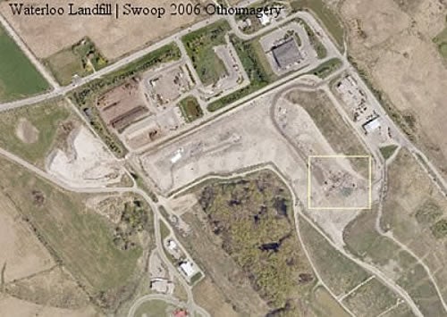
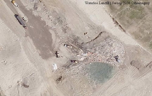
Data courtesy of First Base SolutionsTownship of Wellesley Index (PDF)