Description
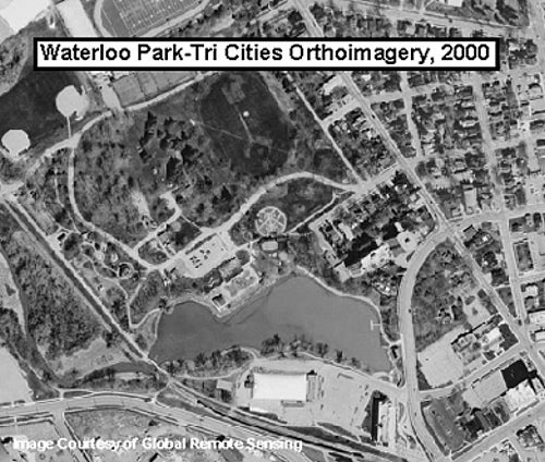
This data resource contains three black and white digital orthomosaics, one for each of the cities of Waterloo, Kitchener, and Cambridge. This photography was taken April 23/24, 2000, by Global Remote Sensing using a Wild RC30 Camera. Ortho Rectification and mosaic by Northway-PhotoMap Inc. for the Region of Waterloo. These images have a 10cm resolution.
Spatial reference and data type
These mosaics are available in Universal Transverse Mercator (UTM) co-ordinates; horizontal datum is North American Datum (NAD) 83, and are stored in MrSID image format with accompanying Sid World (SDW) files. Other data formats can be accommodated, as the Geospatial Centre has access to a number of conversion utilities.
Data access
To request this data, please fill out the Ask-Us form and include which layers (shapefiles) you are interested in obtaining. The dataset will be shared with you via OneDrive upon completion of the data release agreement form. You may also make an in-person appointment using the same form.
Use restrictions/licensing/copyright
These data are provided for personal use for academic, research, and/or teaching purposes. A data release agreement must be agreed to before these licensed data can be released. The Region of Waterloo must be acknowledged on any derivative product, whether printed or electronic, including for example, a printed map, a raster or vector graphic, a web-based application, etc. Patrons are advised to fully respect the provisions of Canada's Copyright Act as well as terms and conditions imposed by the data provider.
Citation
Regional Municipality of Waterloo Digital Orthophotos [computer file]. Waterloo, Ontario: Global Remote Sensing, [2000].
Sample view of the data