Data access
Full access to our resources is available to current students, faculty, and staff of the University of Waterloo. To request access, please complete the Ask-Us form indicating the specific layers (shapefiles) you require. Upon completion of the data release agreement form, the dataset will be provided to you via OneDrive.
In-person consultations may also be requested through the Ask-Us form.
Description
This data resource shows detailed features on the University of Waterloo campus, for example, building footprints, roads and pathways, contours, drainage, vegetation and more. A sample of what is available is listed below. These data layers are current to 2021.
- Benchmarks
- Bike Racks
- Bridges
- Buildings
- Cardboard dumpsters
- Columbia Lake Village (CLV) complex
- Contours
- Curbs
- Driveways
- Fences
- Hydro easements
- Engineering 5 footbridge
- Hydro easement
- Hydro tower
- Landscaping
- Legal Survey Bars
- Parking
- Playing fields
- Pond/stream water management
- Railway
- Recycling containers
- Residences
- Retaining walls
- Roads
- Sandbox locations
- Sanitation containers
- Service tunnels
- Sidewalks
- Steps
- Storm management ponds
- Towers
- Trail
- Trees
- Tunnels
- Vegetation
- Water
- Water easements
Spatial reference and data type
This dataset is available in Universal Transverse Mercator (UTM) coordinates; horizontal datum is North American Datum (NAD) 83. These data are stored as AutoCAD drawing files .DWG as well as Esri shapefiles.
Use restrictions/licensing/copyright
This material is provided for academic, research, teaching, and personal use only. The University of Waterloo should be acknowledged on any derivative product, such as a map or an image.
Citation
The University of Waterloo [computer file]. Waterloo, Ontario: University of Waterloo Plant Operations, [2021].
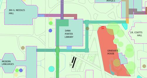
South-Central UWaterloo campus