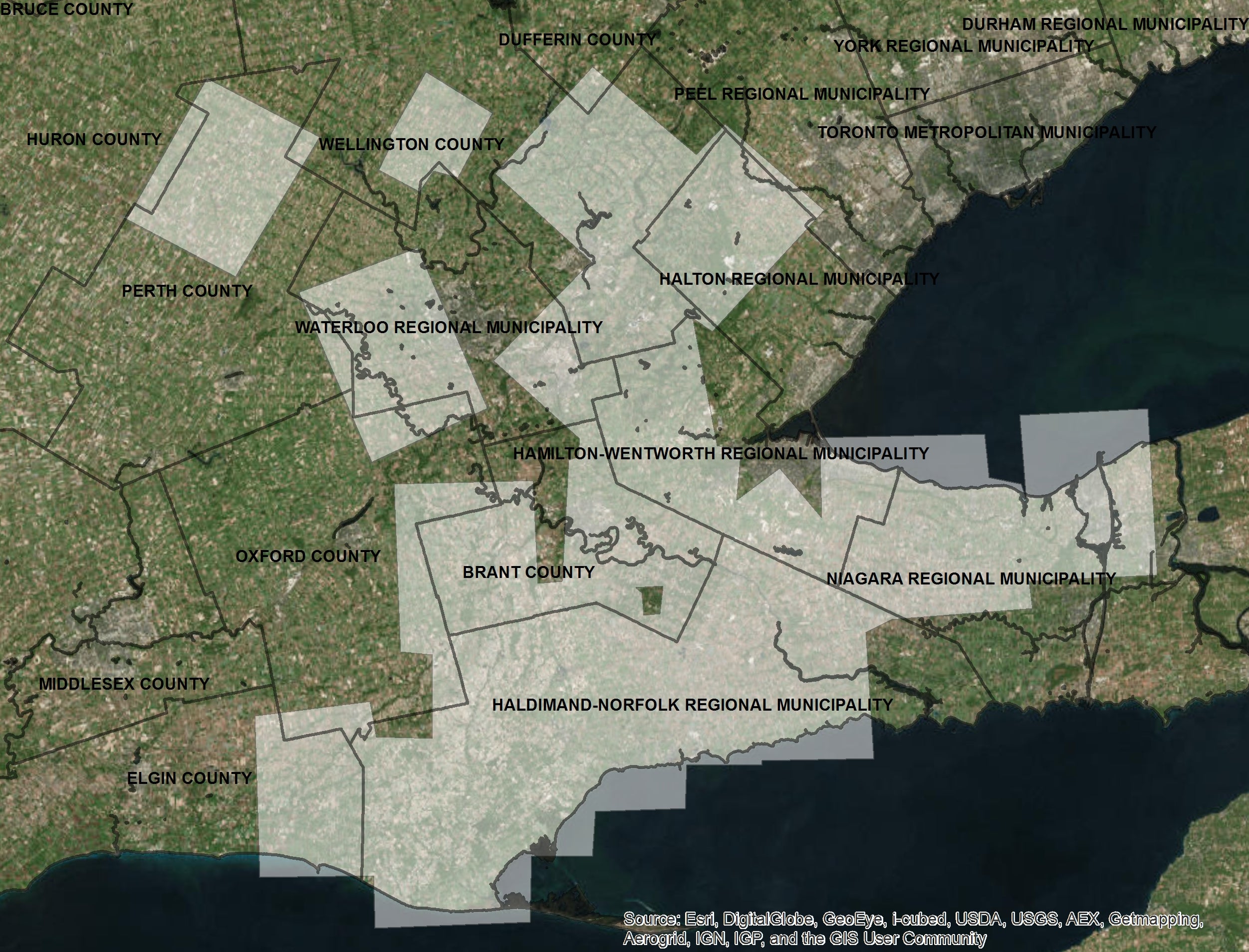
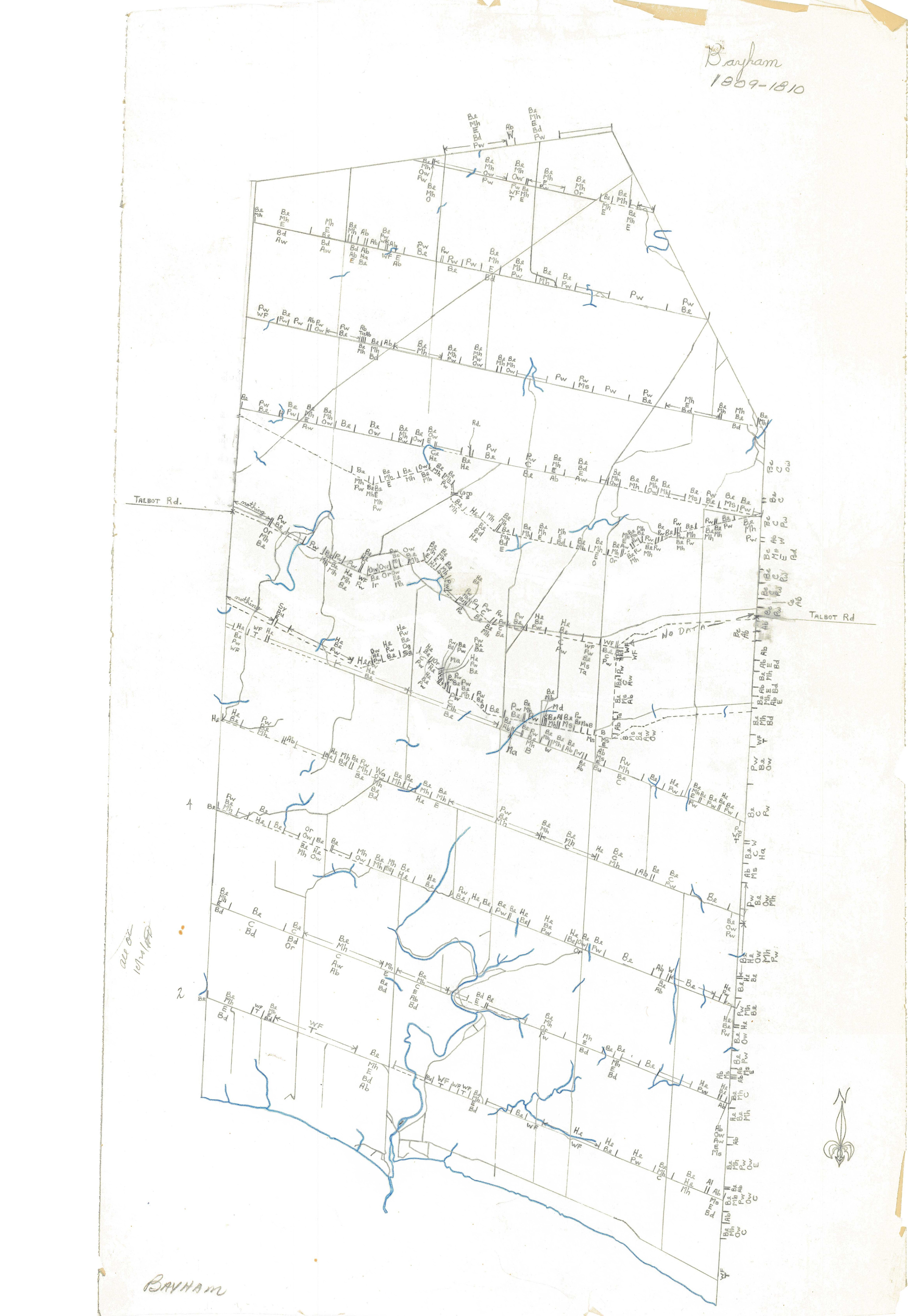
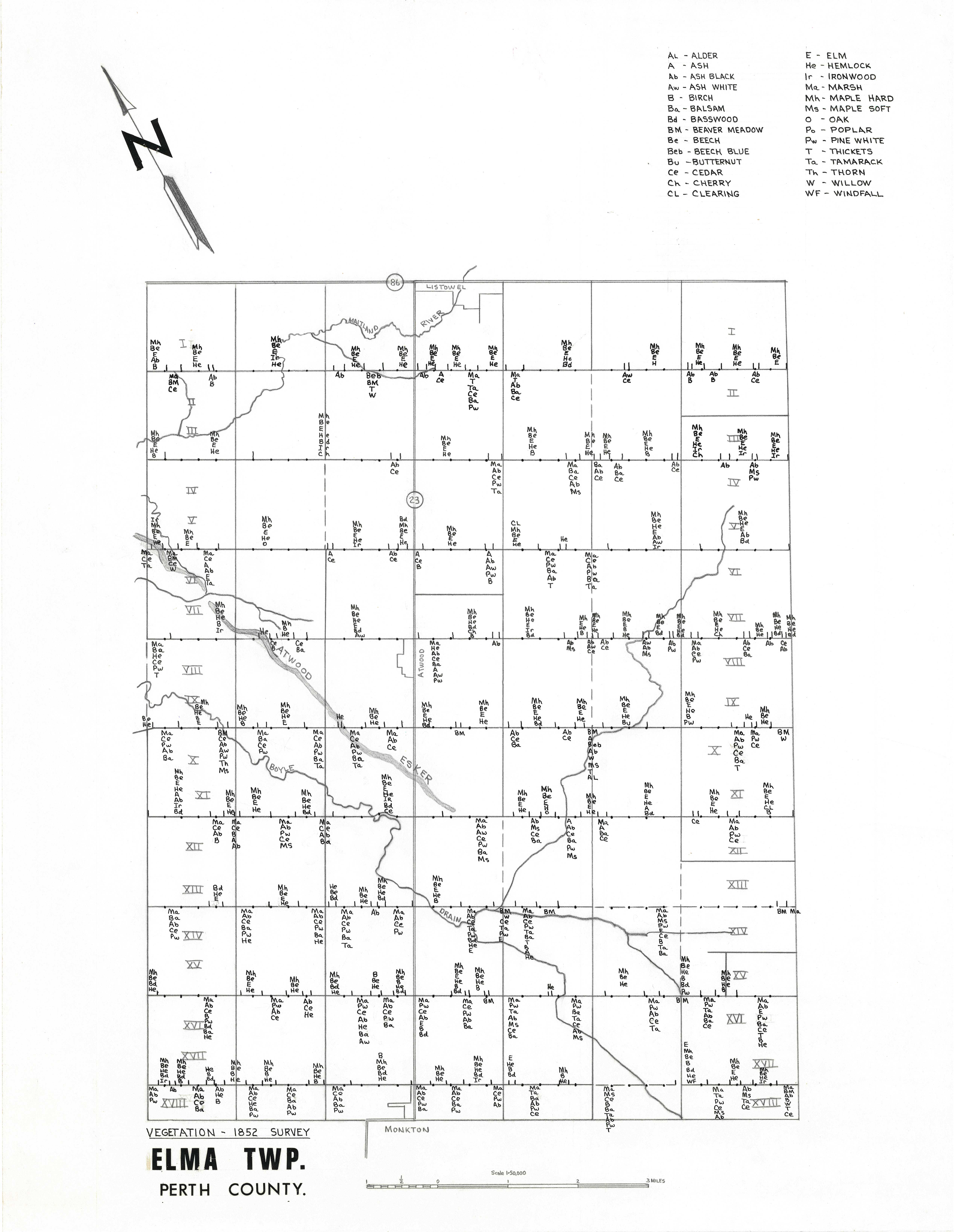
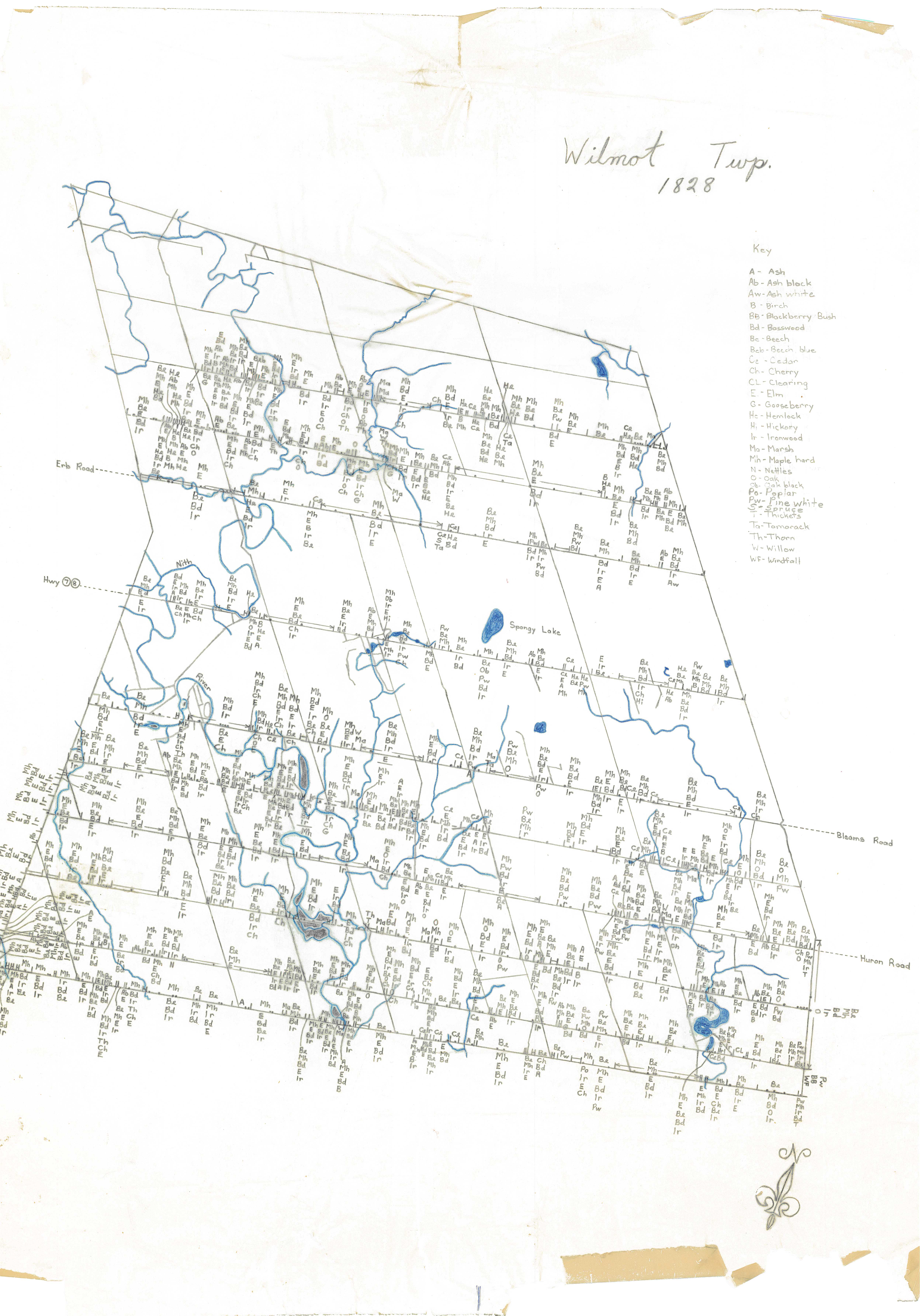
This metamap represents maps created by Lamb and Dorney (1973) at the University of Waterloo. Their maps use cadastral survey maps to highlight noted vegetation types and changes along transects. Original maps are housed at the library's Geospatial Centre. KML files are available upon request. Return to main project site.