Description
Esri ArcWorld is a collection of geospatial datasets designed for use in schools. This resource allows for the easy creation of thematic and topographic maps at the country level. ArcWorld provides data at 1:3 million and 1:25 million scales. This resource covers a wide variety of features, from topographic data, to government boundaries, to statistical data. The Esri metadata (PDF) for this product goes into considerable detail about each available layer.
Spatial reference and data type
These data sets are available in Universal Transverse Mercator (UTM) co-ordinates; horizontal datum is North American Datum (NAD) 83. These data are stored as Esri shapefiles. Other data formats can be accommodated, as the Geospatial Centre has access to a number of conversion utilities.
Data access
In order to access these data sets, please visit the Geospatial Centre reference desk. Library reference staff are available to provide further information about these data sets and to deliver data upon request. Under the terms of the library's license agreement, these data sets are for use by students, faculty, and staff at the University of Waterloo only.
Data manipulation
There are public workstations in the Geospatial Centre that provide access to Geographic Information System (GIS) software, program extensions and data manipulation utilities. Patrons may use the GIS software in the library to view and manipulate the data. UWaterloo faculty, students and staff may copy these data to other media (Zip disk or CD-R) for use elsewhere.
Data output
These data may be exported from the GIS software as a bitmapped image (e.g. jpg) or may be printed as a map view using one of the library's colour printers.
Use restrictions/licensing/copyright
This material is provided for academic, research, teaching, and personal use only. A data release agreement must be signed before the data is delivered. Esri should be acknowledged on any derivative product, such as a map or an image.
Citation
Esri ArcWorld Database [computer file] Redlands, CA: Environmental Systems Research Institute, 1992.
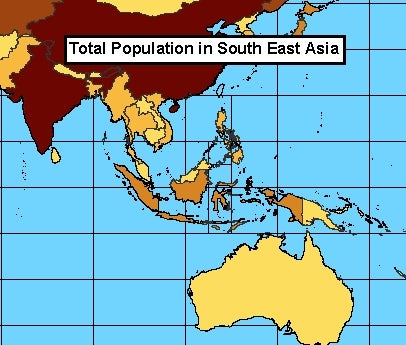
Sample view of data from ArcWorld
Data courtesy of Esri.