Data access
The data is available for download from the GADM website.
Full access to our resources is available to current students, faculty, and staff of the University of Waterloo. To request access, please complete the Ask-Us form indicating the specific layers (shapefiles) you require. Upon completion of the data release agreement form, the dataset will be provided to you via OneDrive.
Description
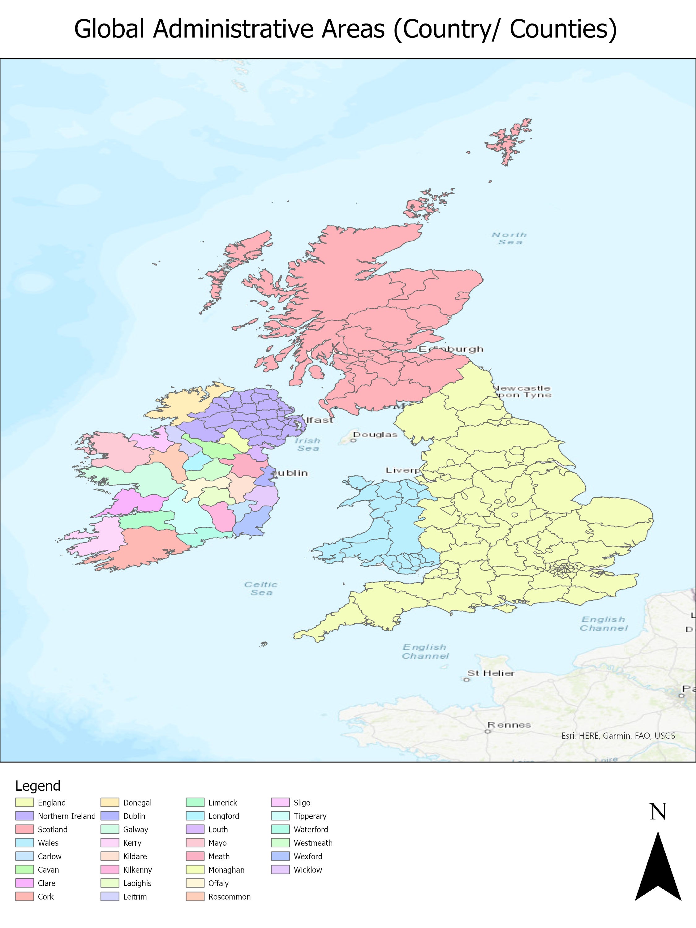
GADM is a database of the location of the world's administrative areas (boundaries). Administrative areas in this database include: countries, counties, departments, etc. and cover every country in the world. For each area, it provides some attributes, foremost being the name and in some cases variant names.
Visitors to the GADM website can download administrative boundaries for individual countries, or they can download admin boundaries for the entire world. The Geospatial Centre only has available from its server the administration boundaries for the entire world.
In May 2014, the Geospatial Centre acquired GADM data (Version 2.0 (January 2012).
Spatial reference and data type
The data are in Esri shapefile and geodatabase format.
Use restrictions/licensing/copyright
This data are provided for personal use for academic, research, and/or teaching purposes. Geospatial Centre staff will ask patrons to read and sign a data release agreement before these licensed data can be released. The University of Berkeley, Museum of Vertebrate Zoology, and the International Rice Research Institute by Robert Hijmans, Nell Garcia, Julian Kapoor, Anrel Rala, Aileen Maunahan, and John Wieczorek must be acknowledged on any derivative product, whether printed or electronic, including for example, a printed map, a raster or vector graphic, a web-based application, etc. Patrons are advised to fully respect the provisions of Canada's Copyright Act as well as the terms and conditions imposed by the data provider.
Citation
Global administrative areas (boundaries). University of Berkeley, Museum of Vertebrate Zoology and the International Rice Research Institute (2012).
Sample view of data