Contact the Geospatial Centre
Dana Porter Library, Room 328
University of Waterloo Library
Waterloo, Ontario N2L 3G1
Email: librarygeo@uwaterloo.ca
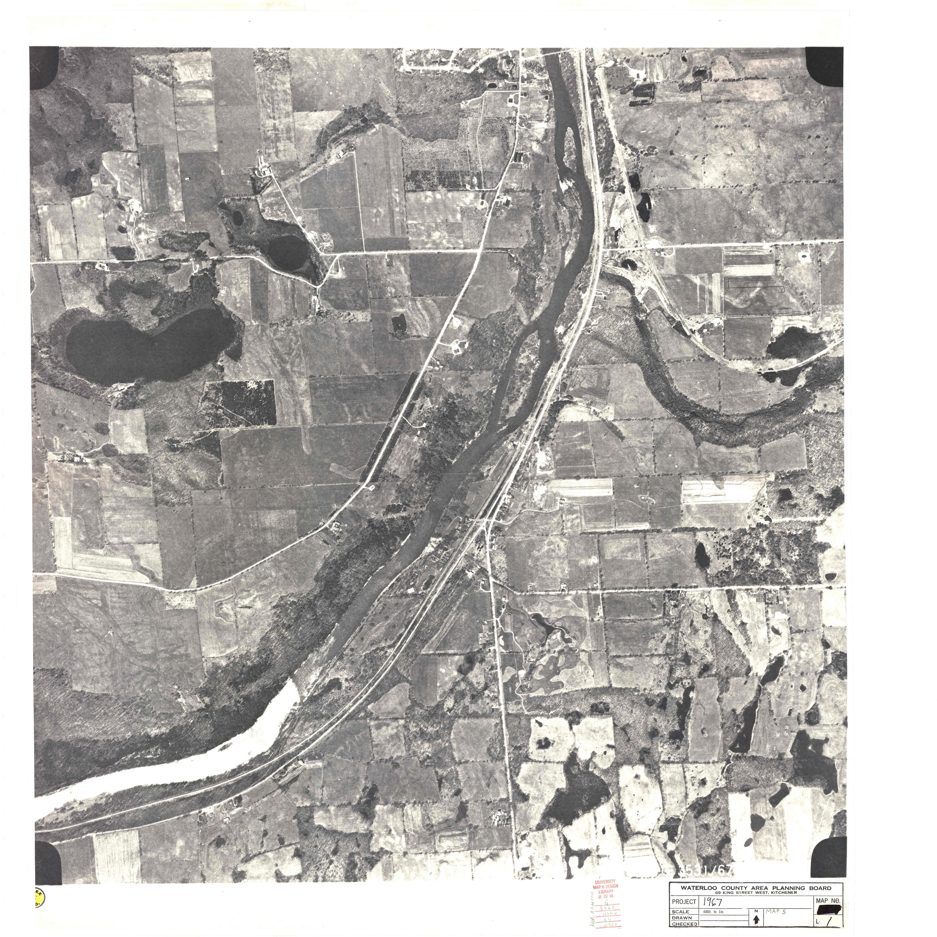
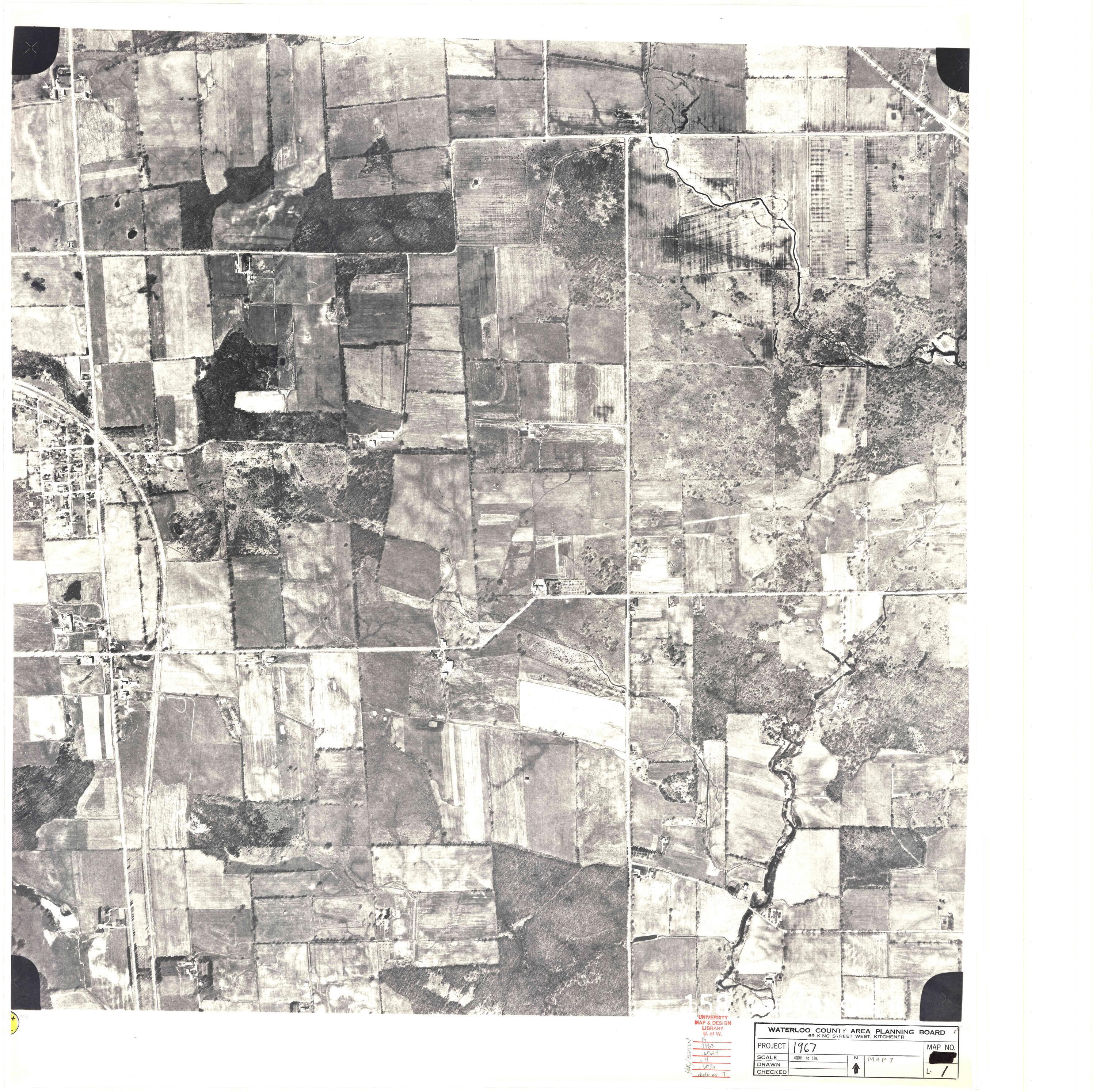
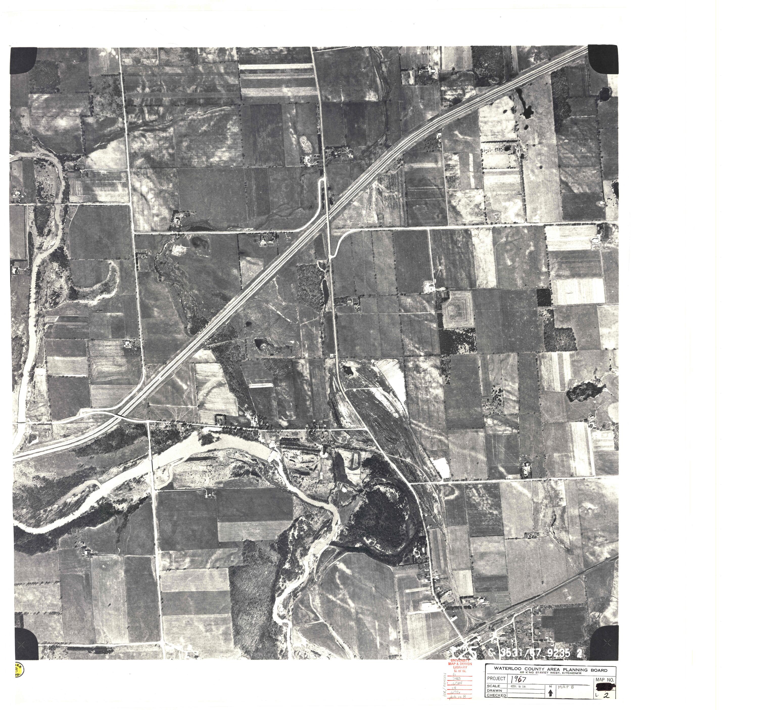
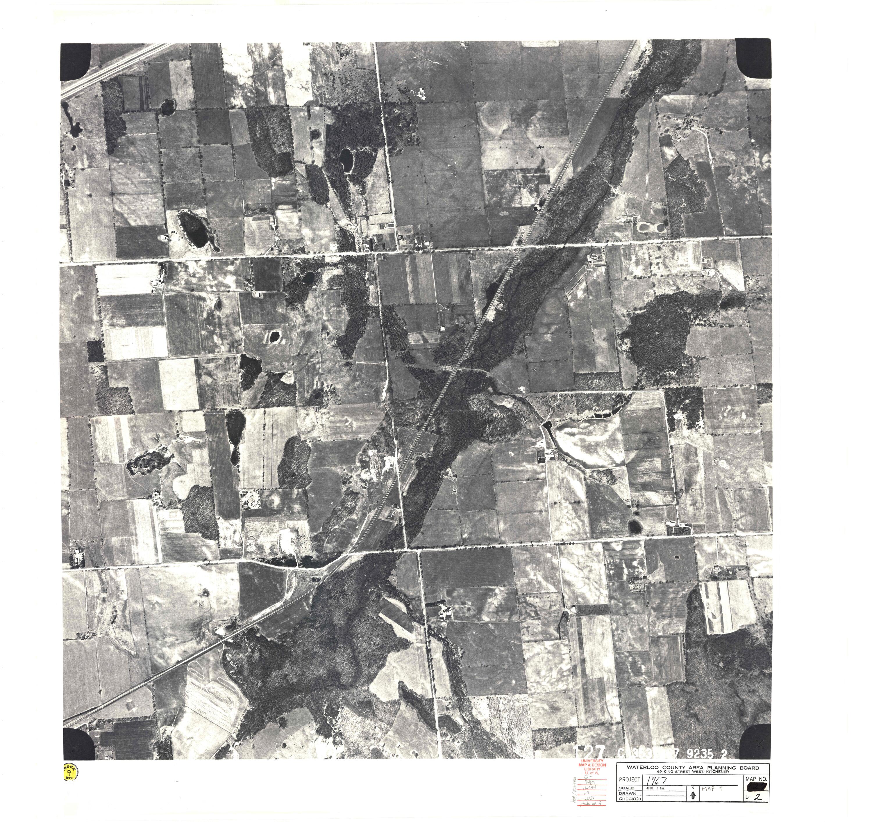
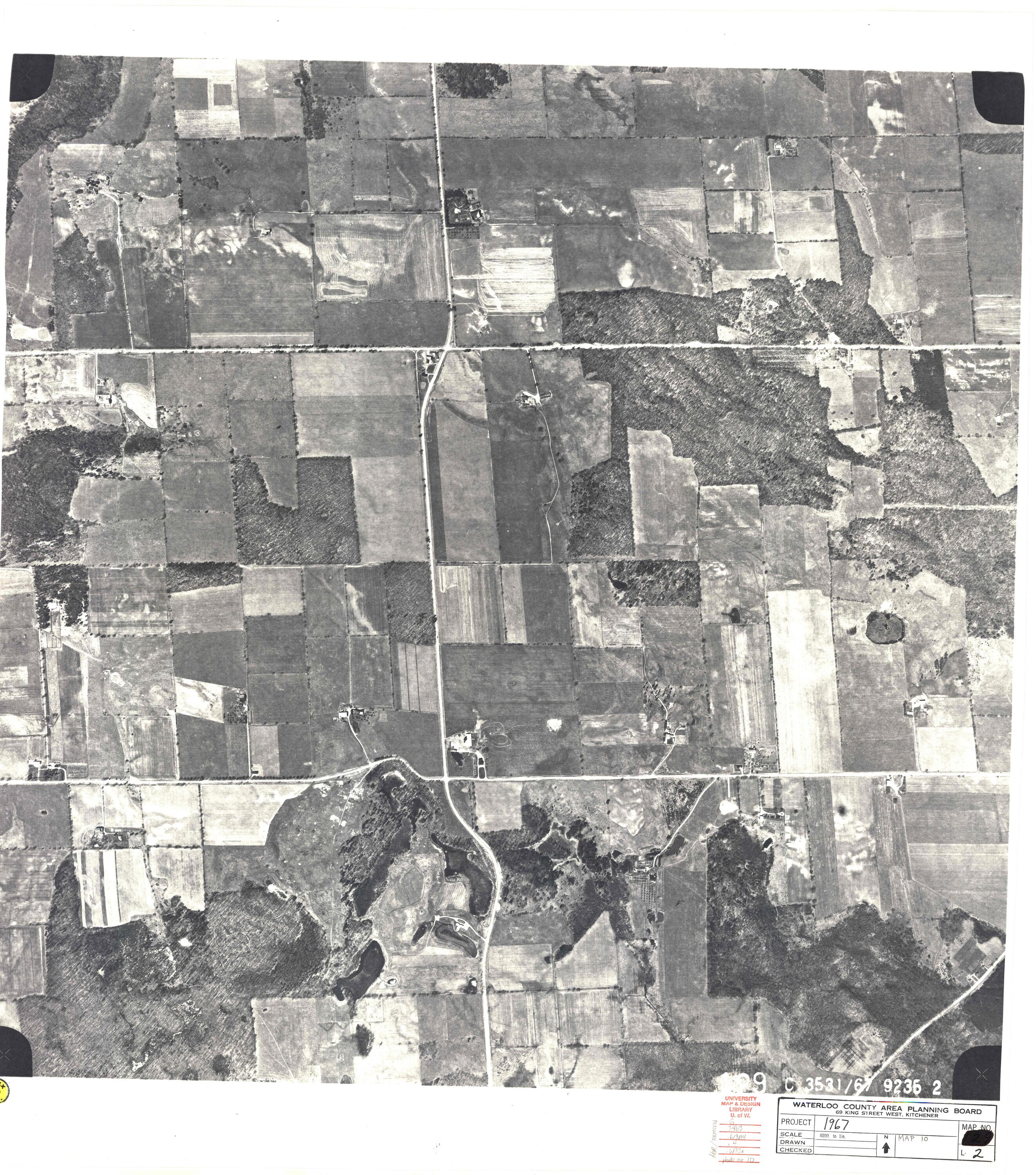
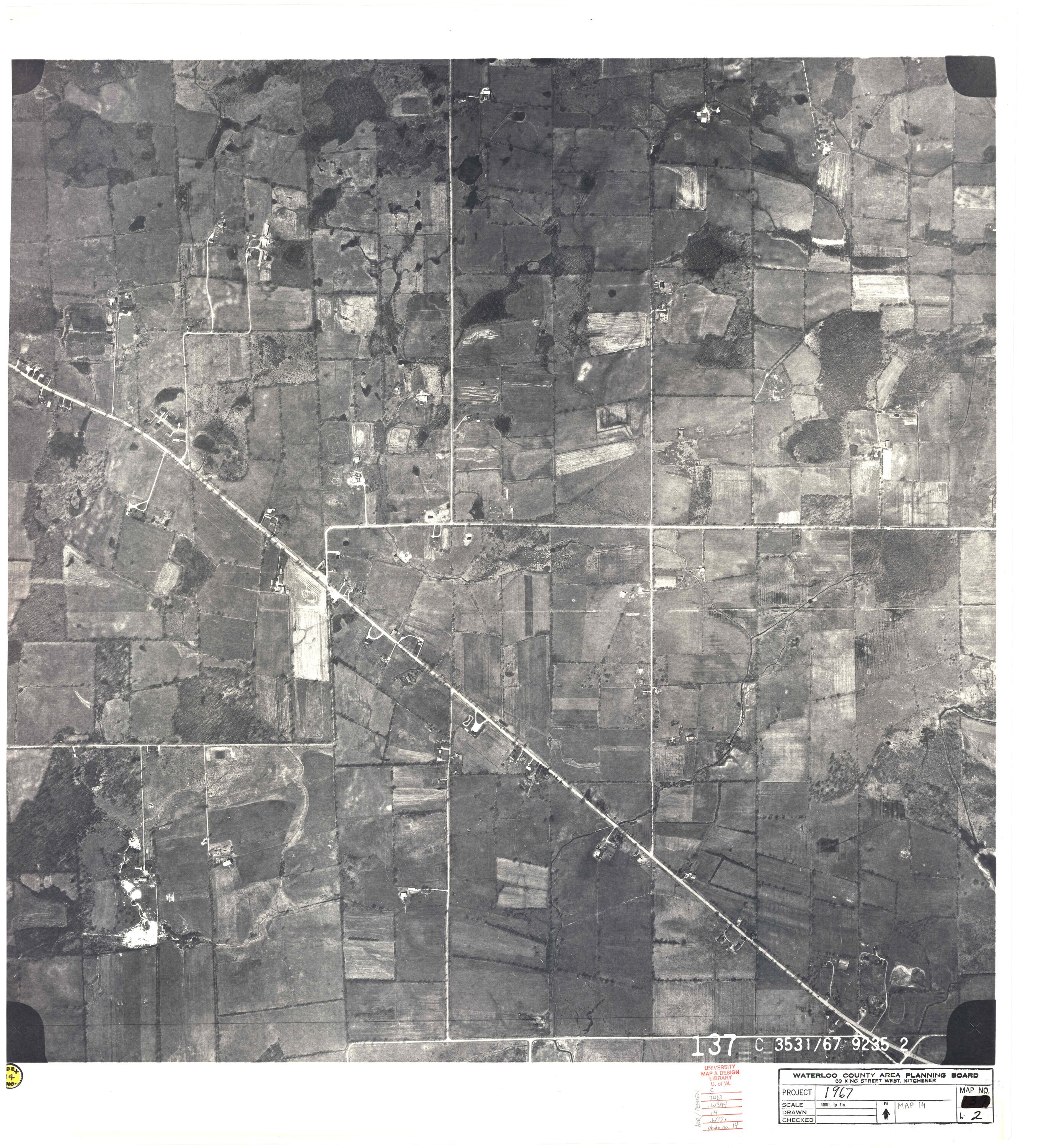
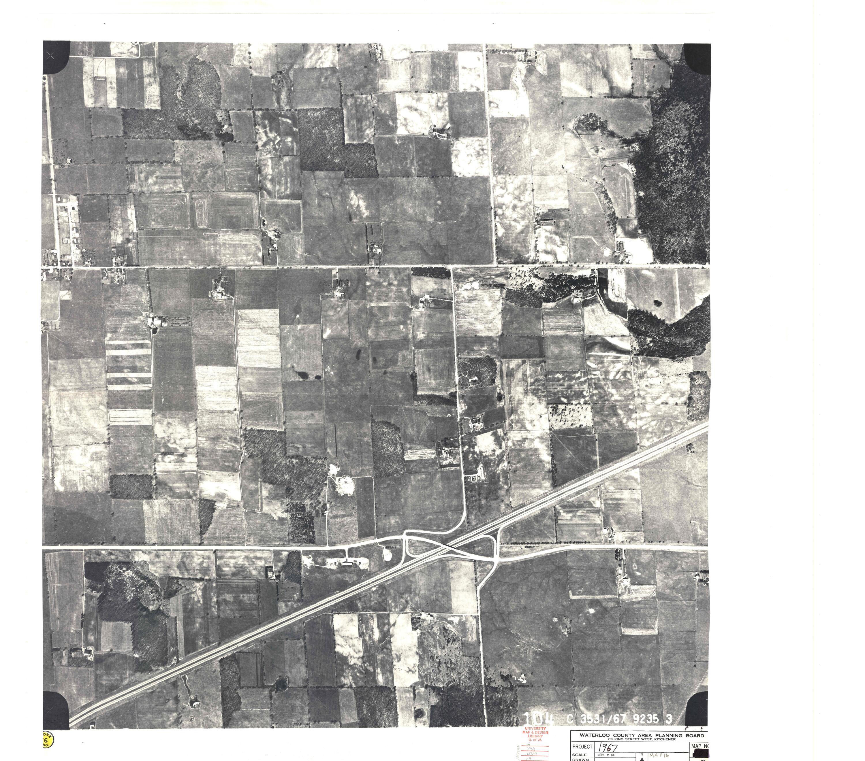
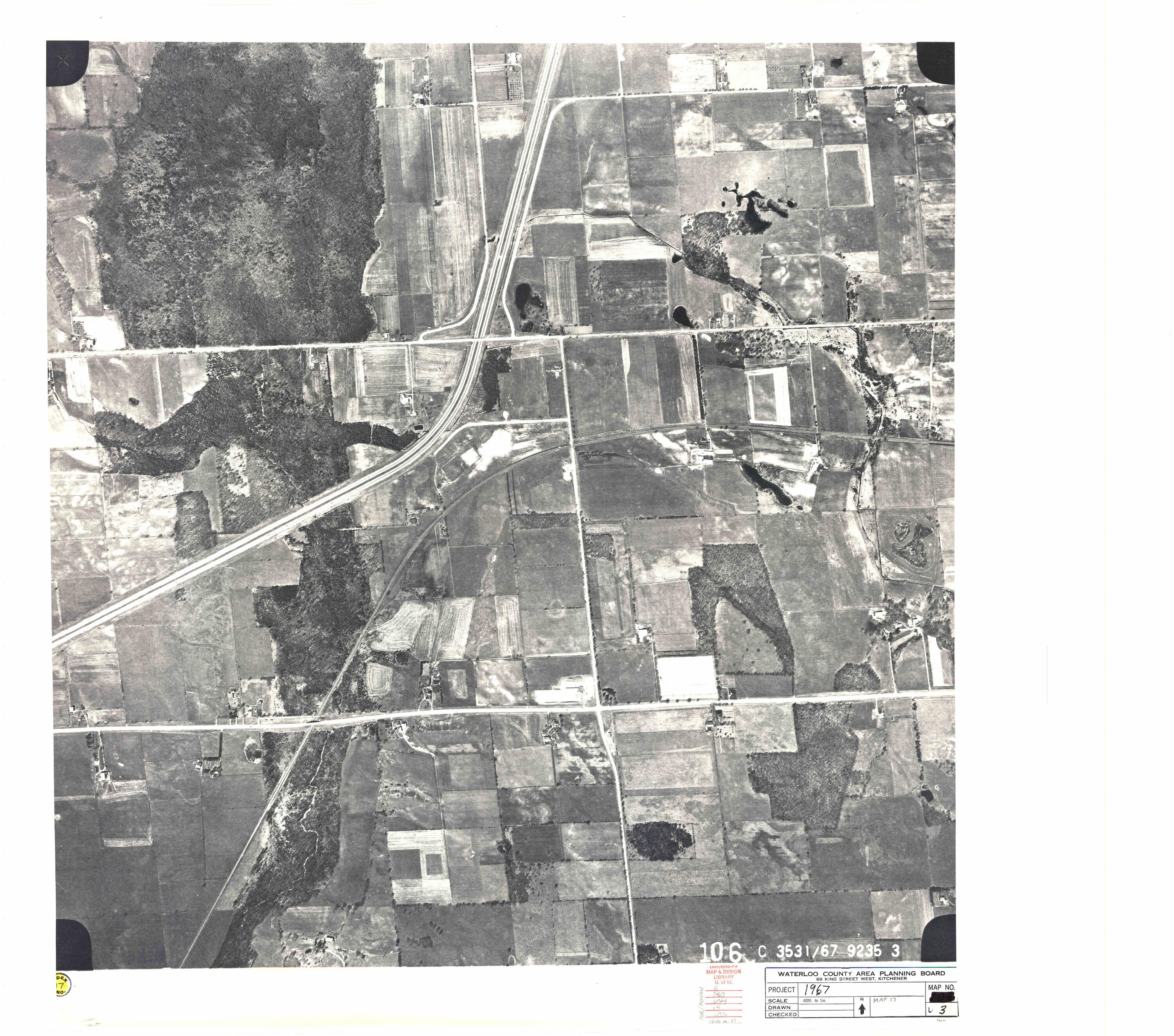
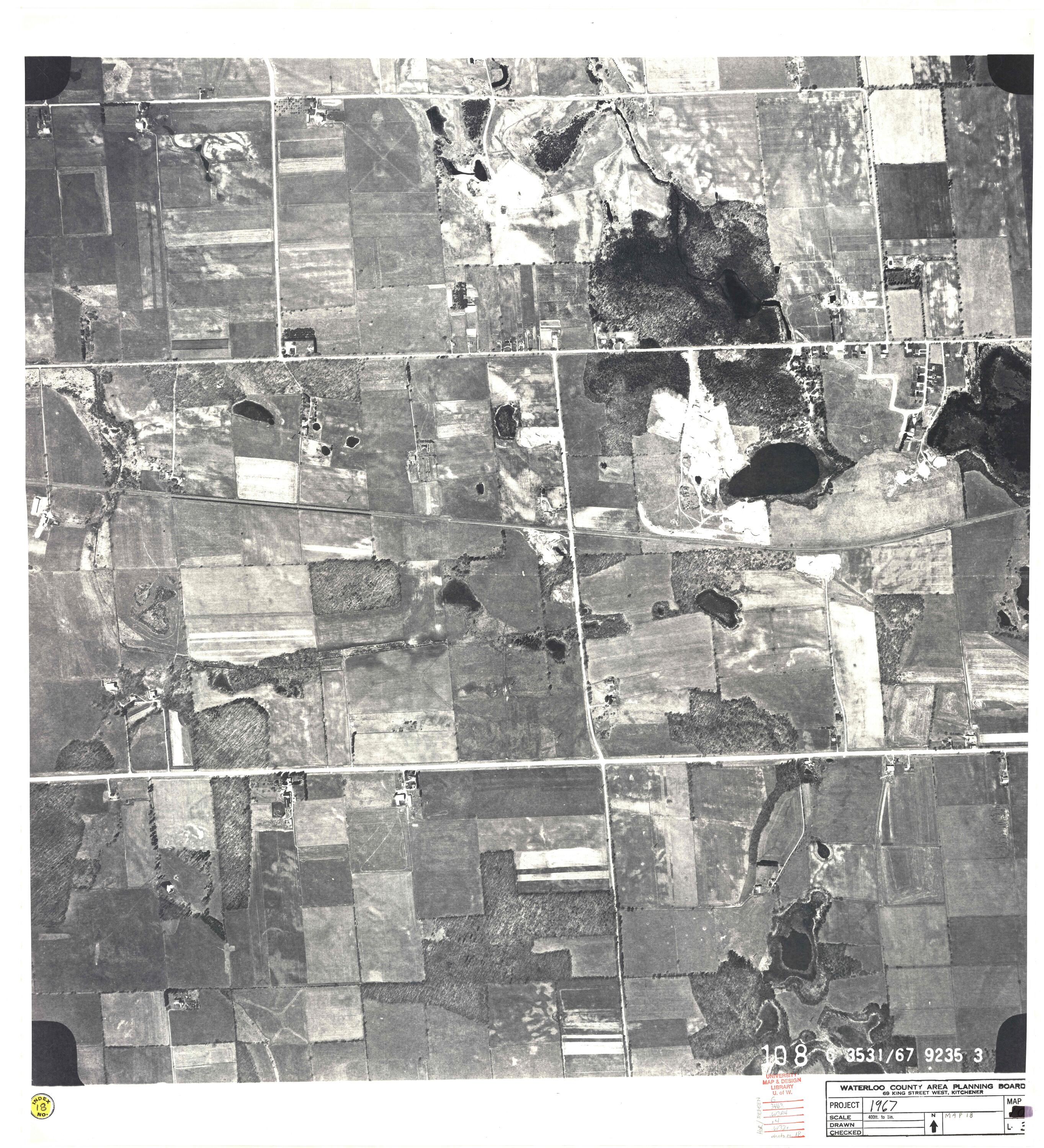
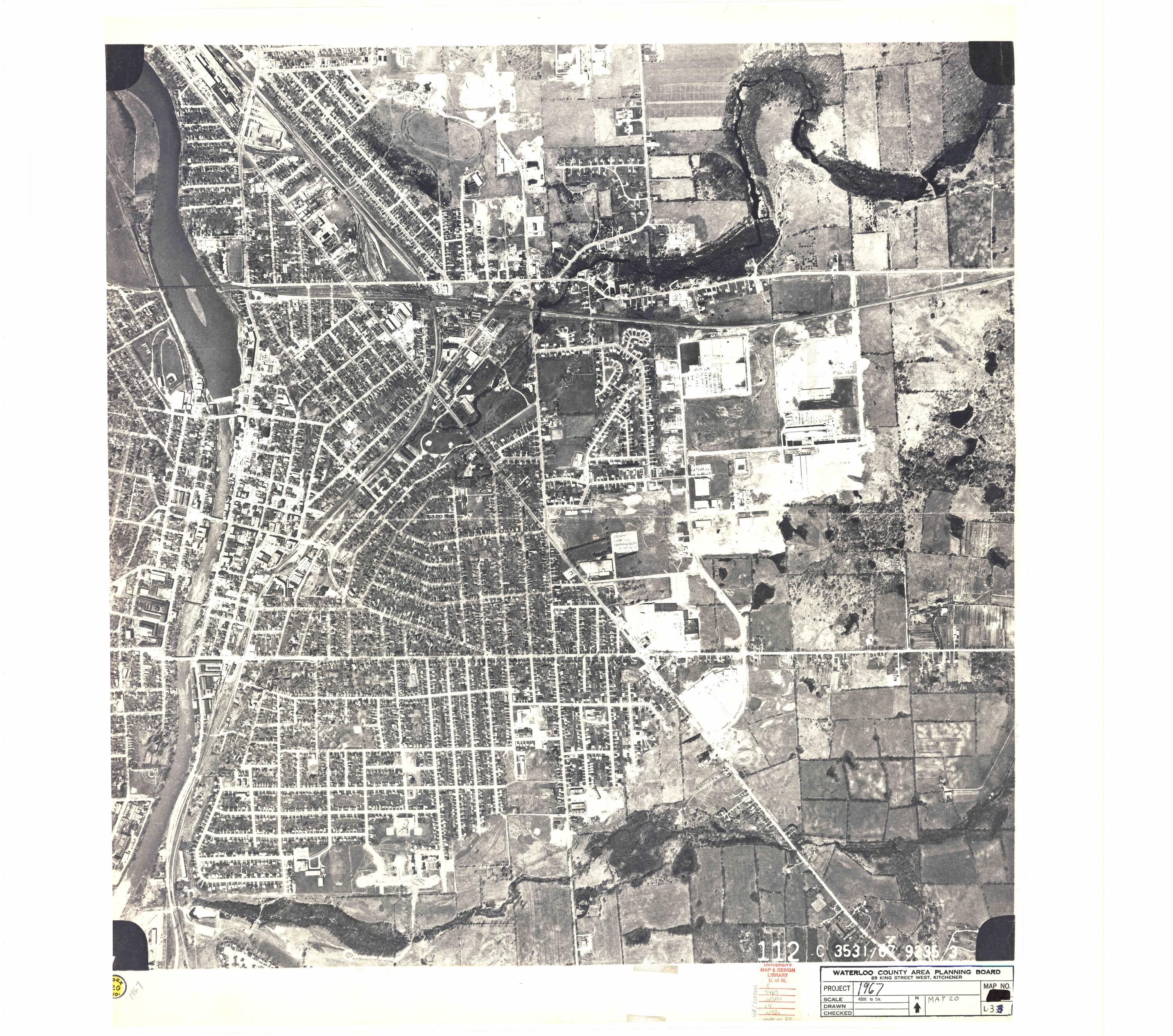
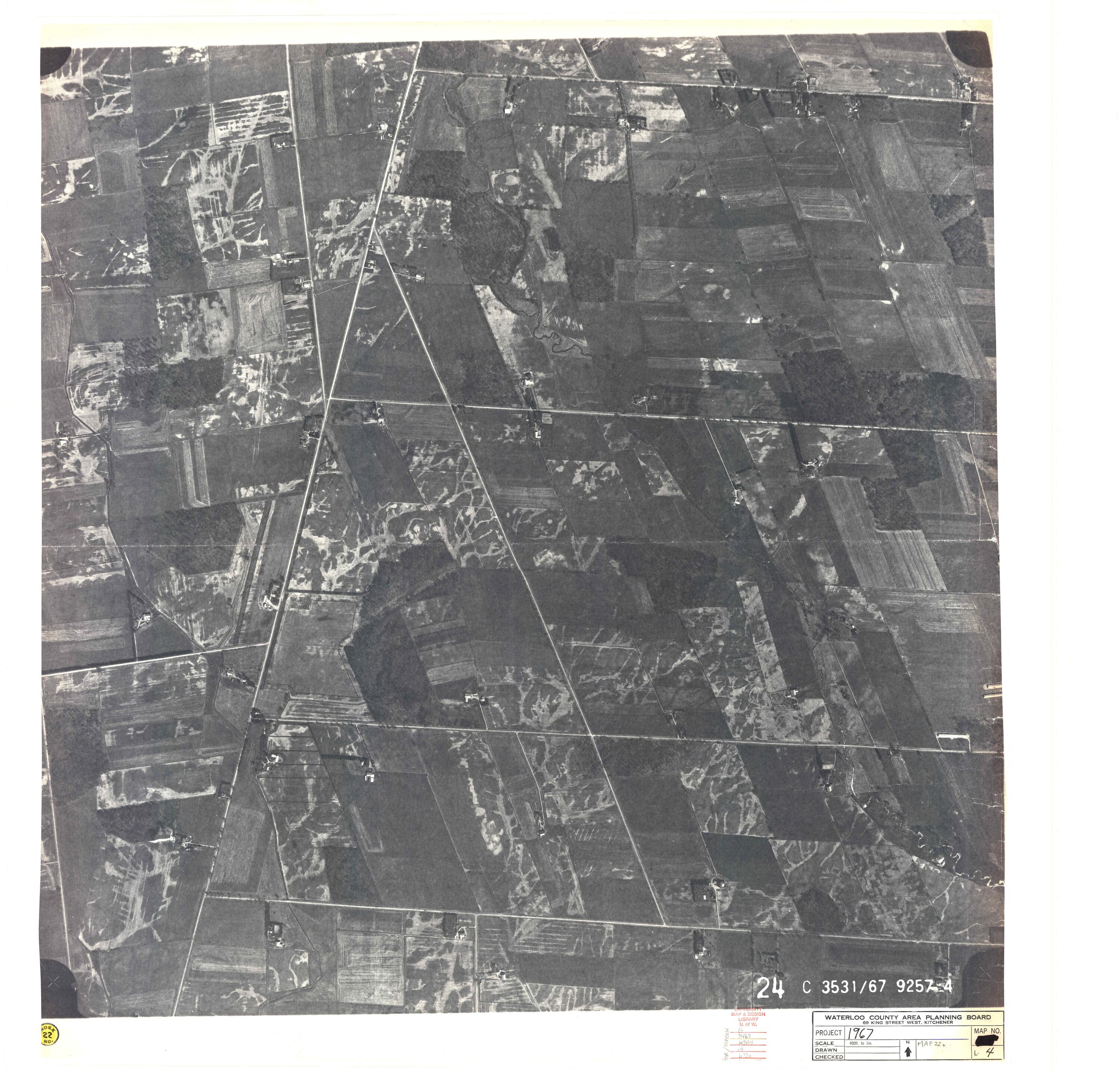
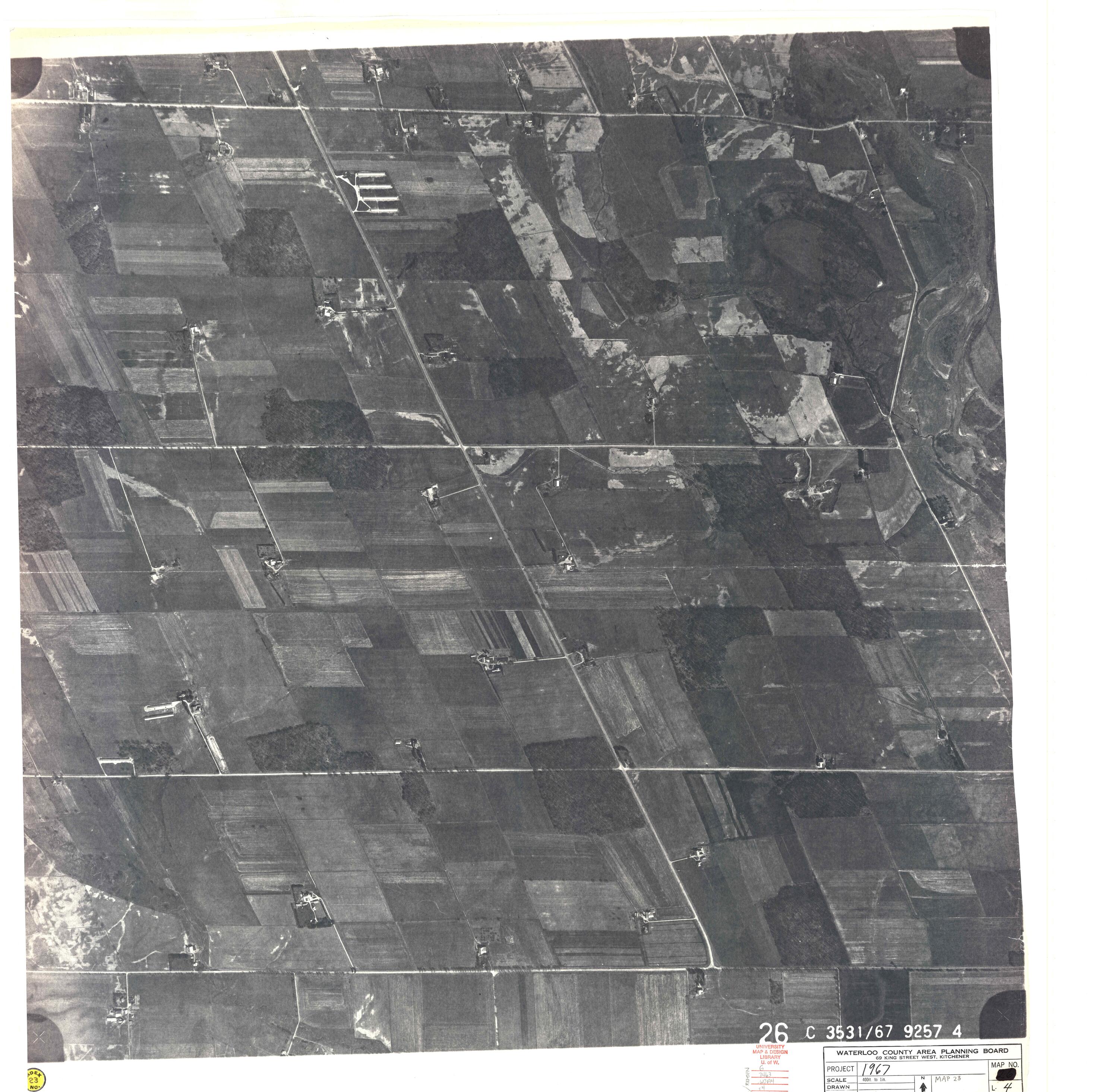
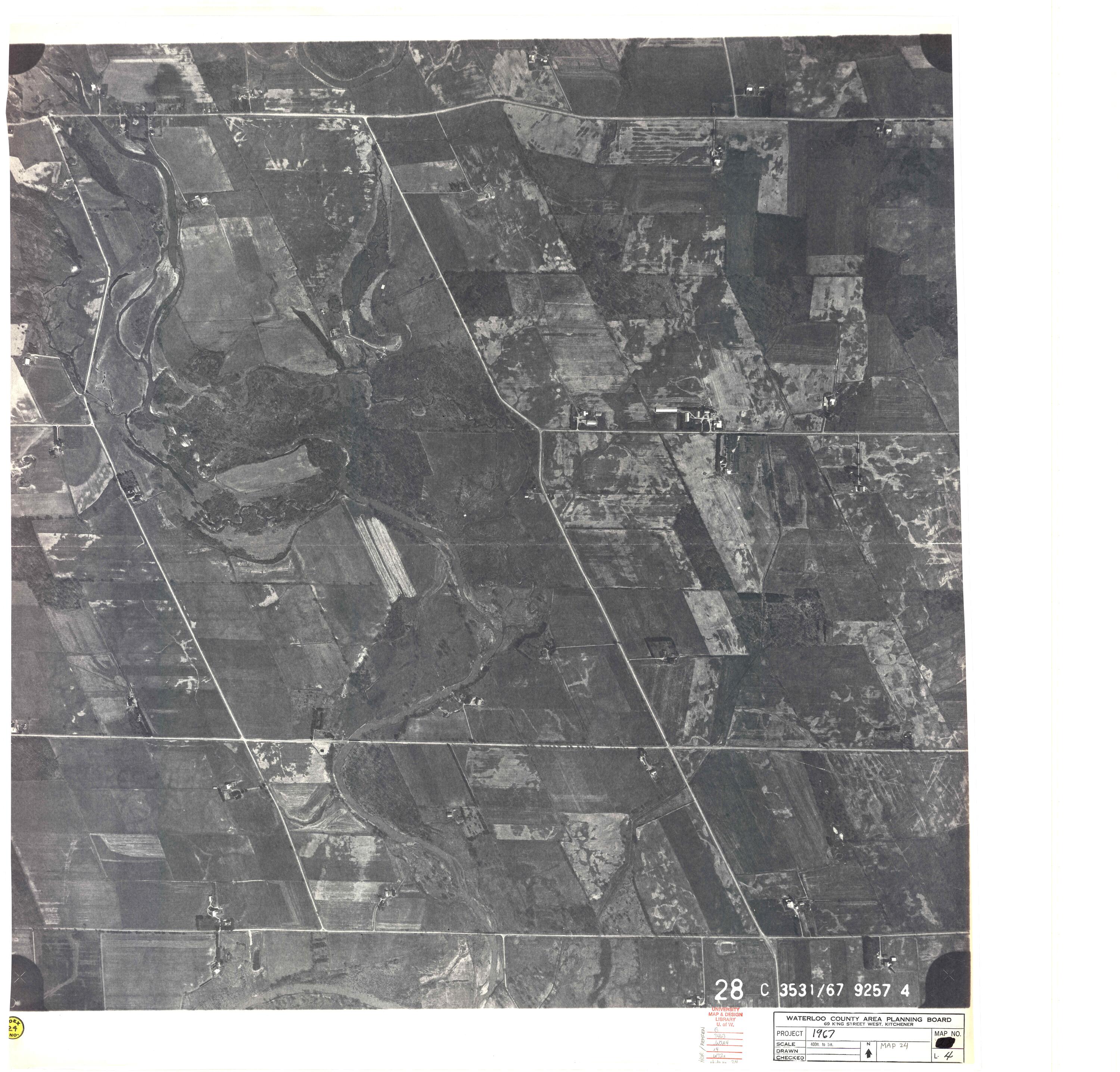
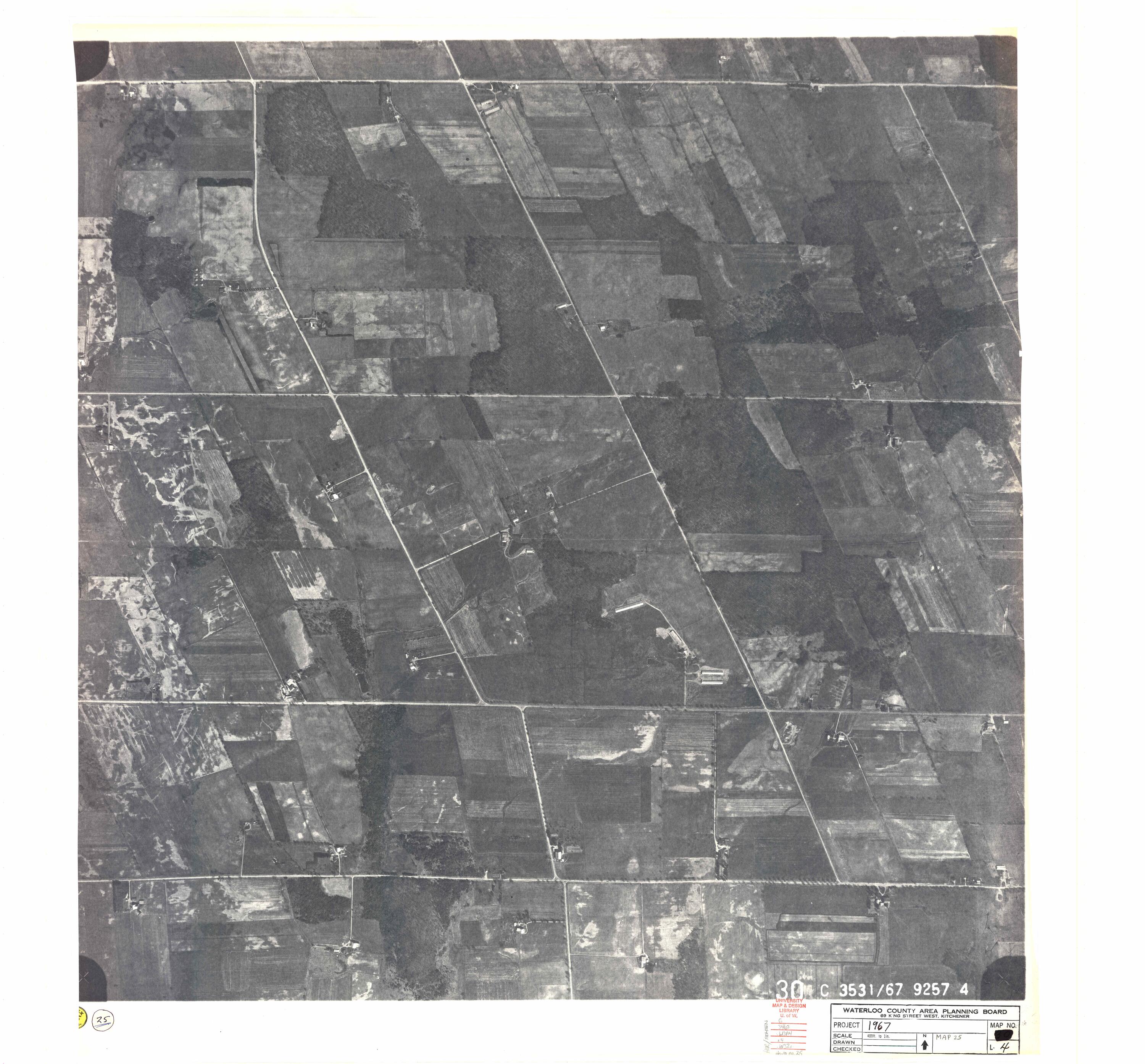
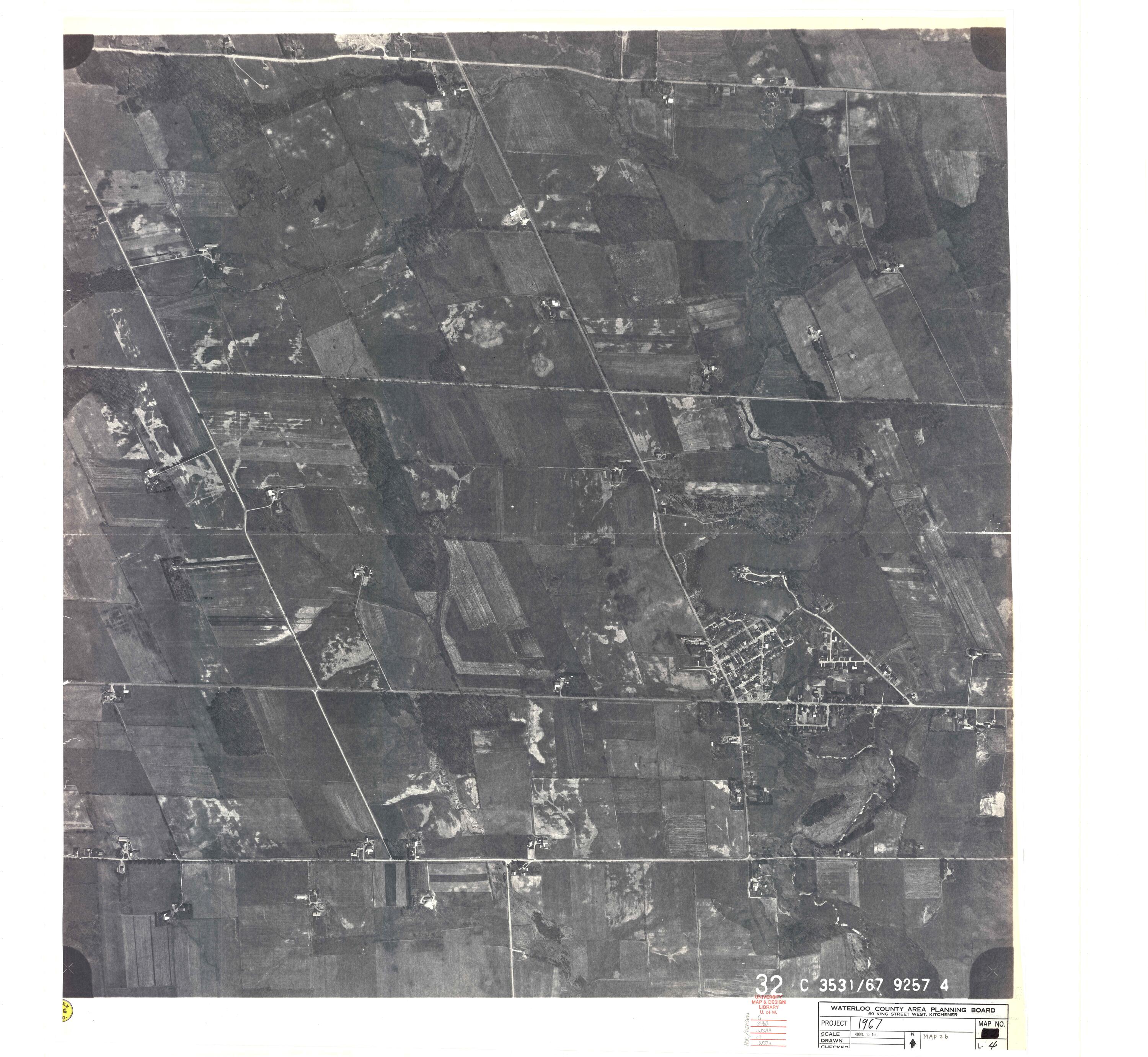
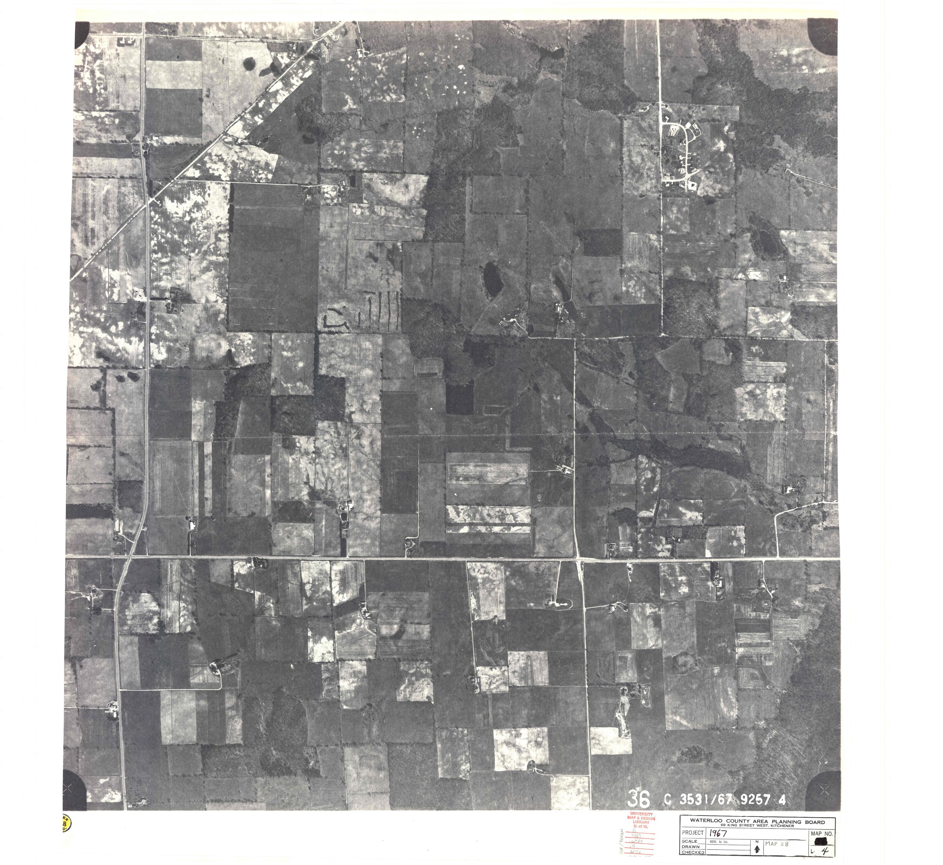
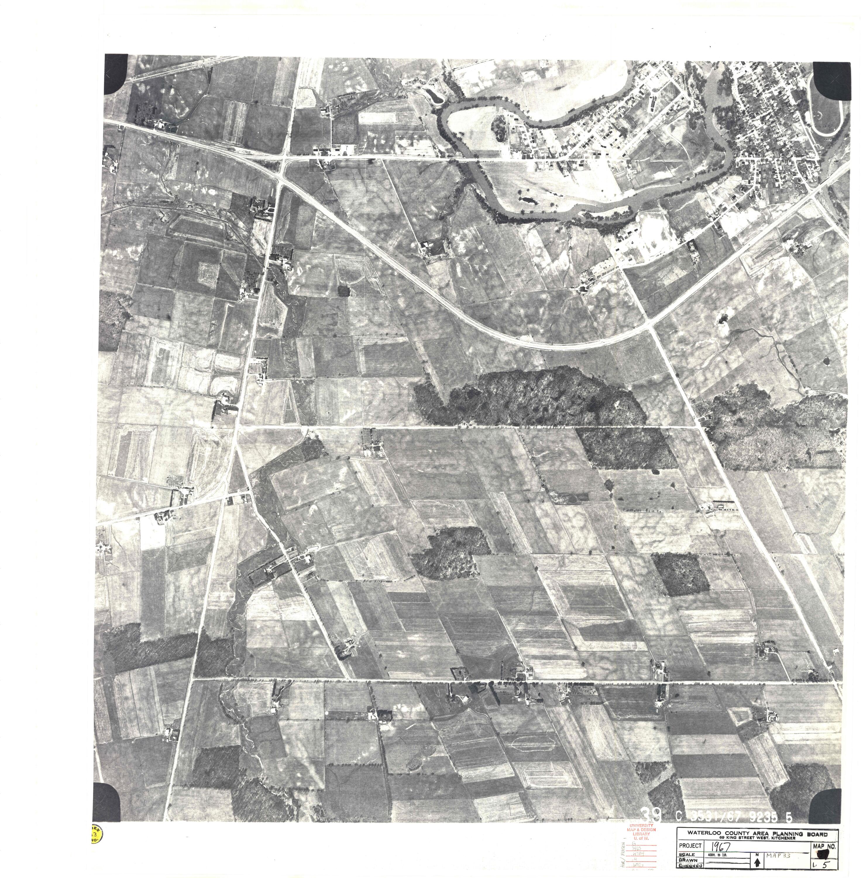
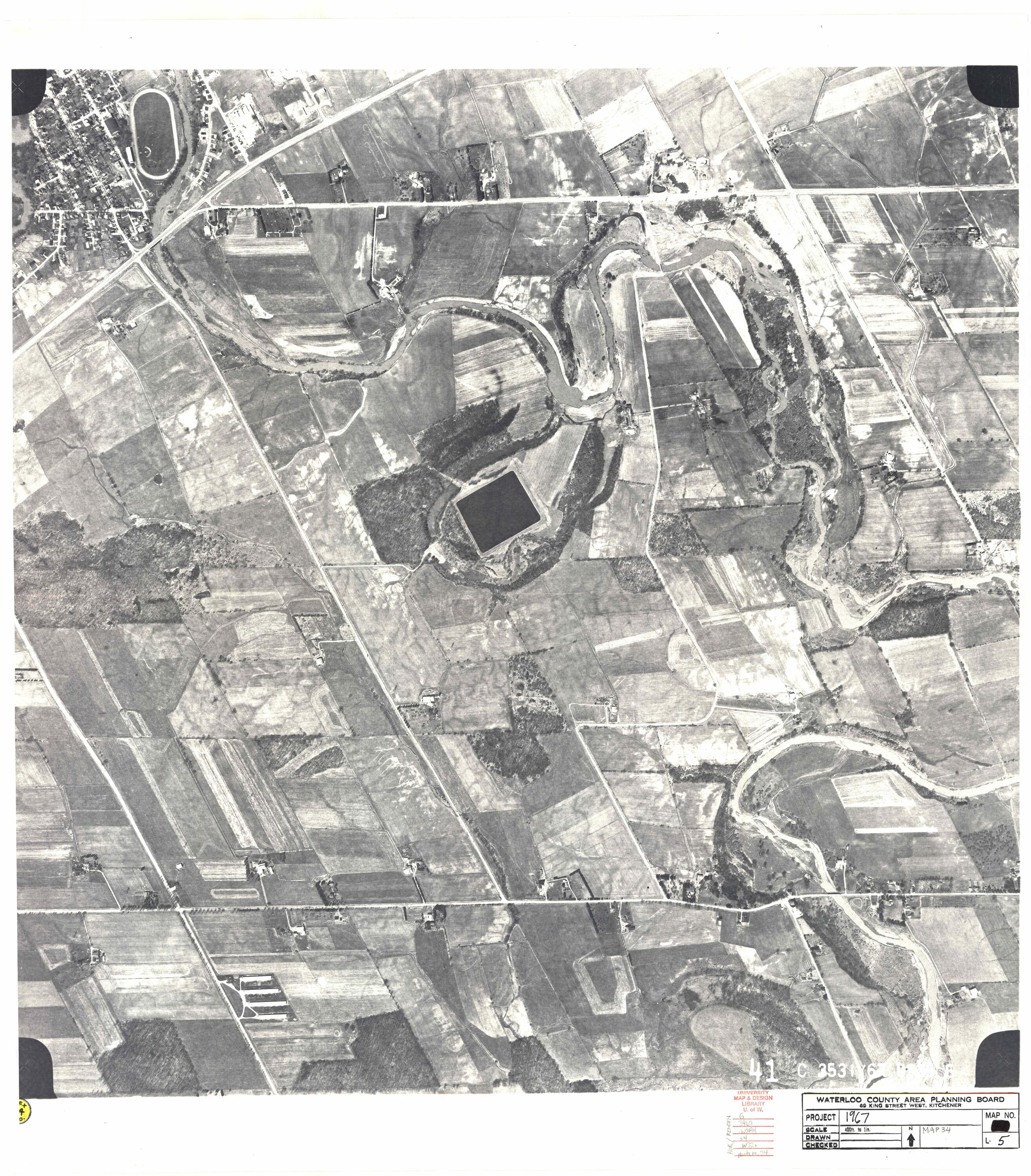
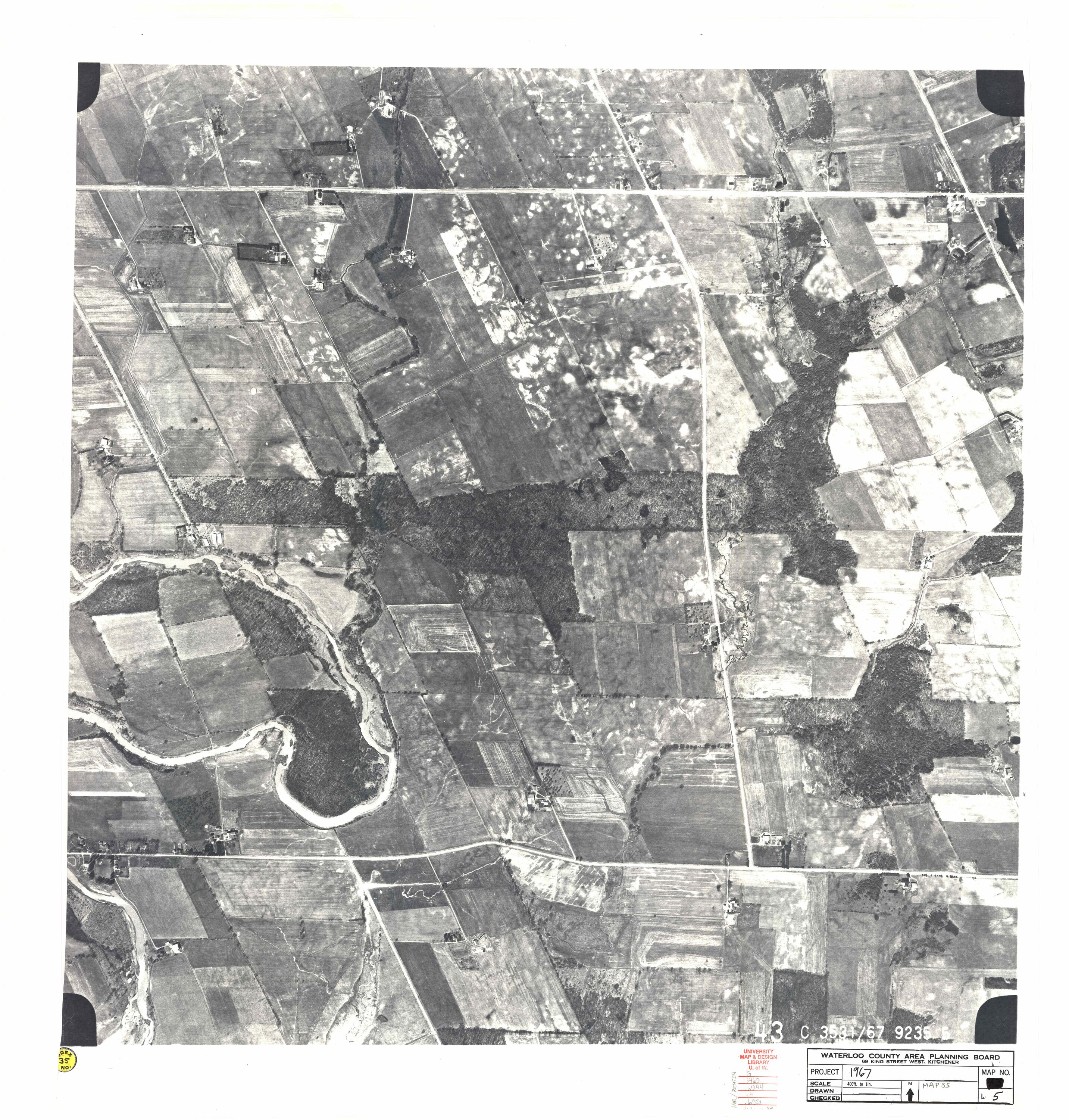
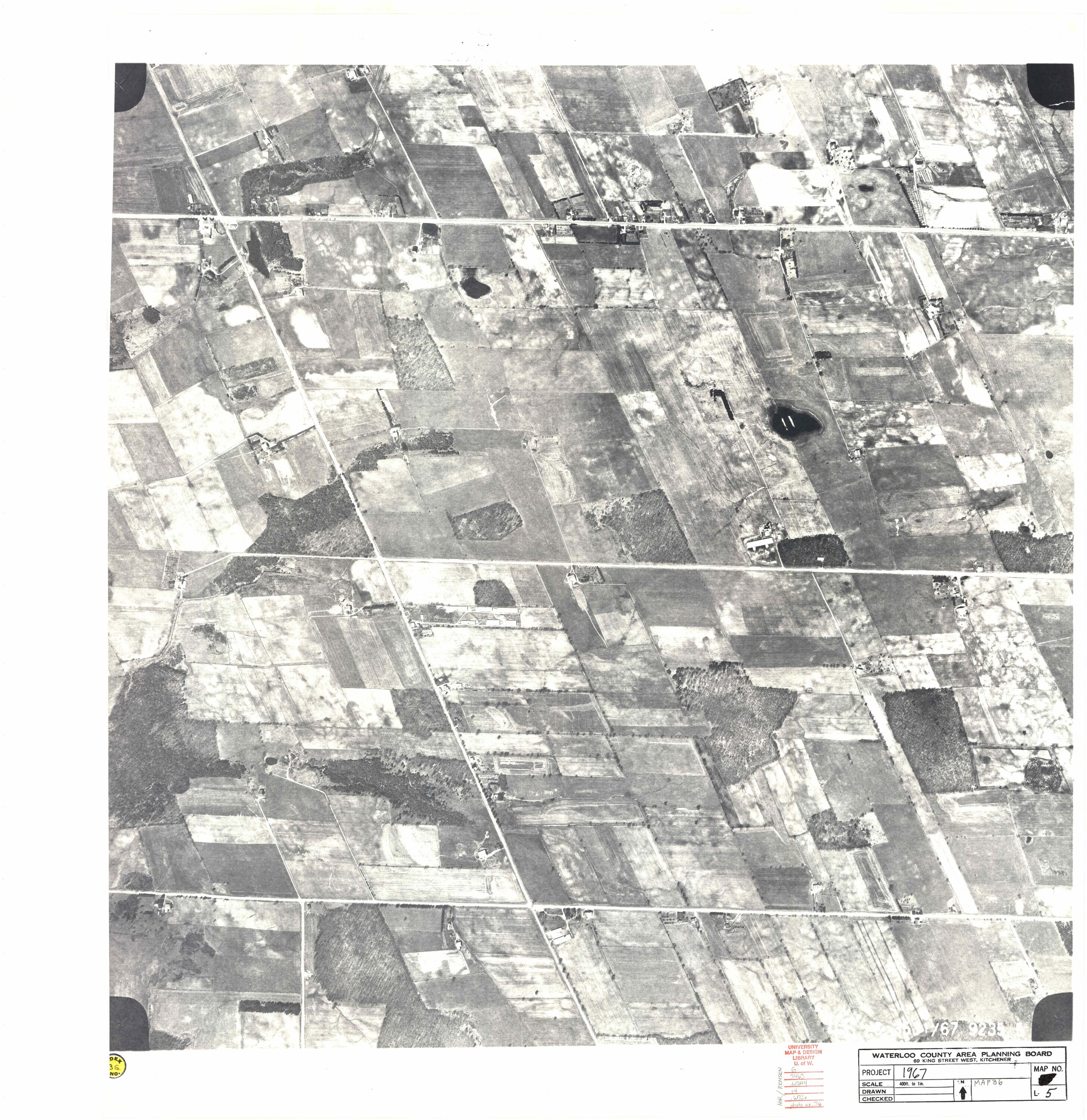
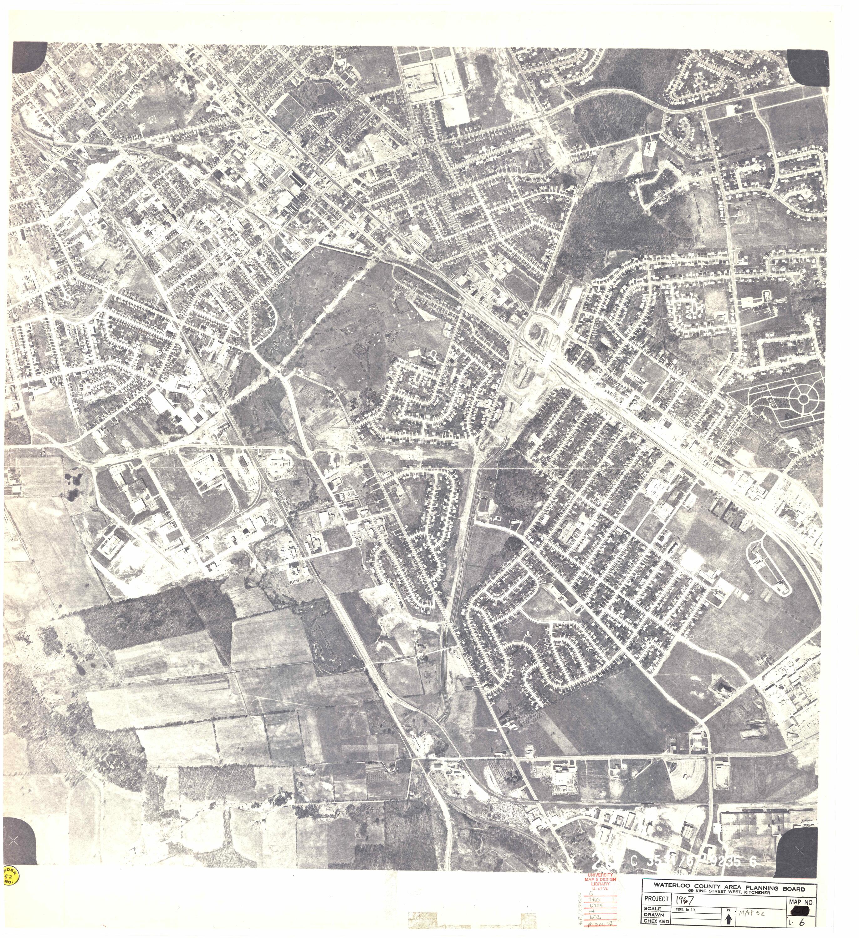
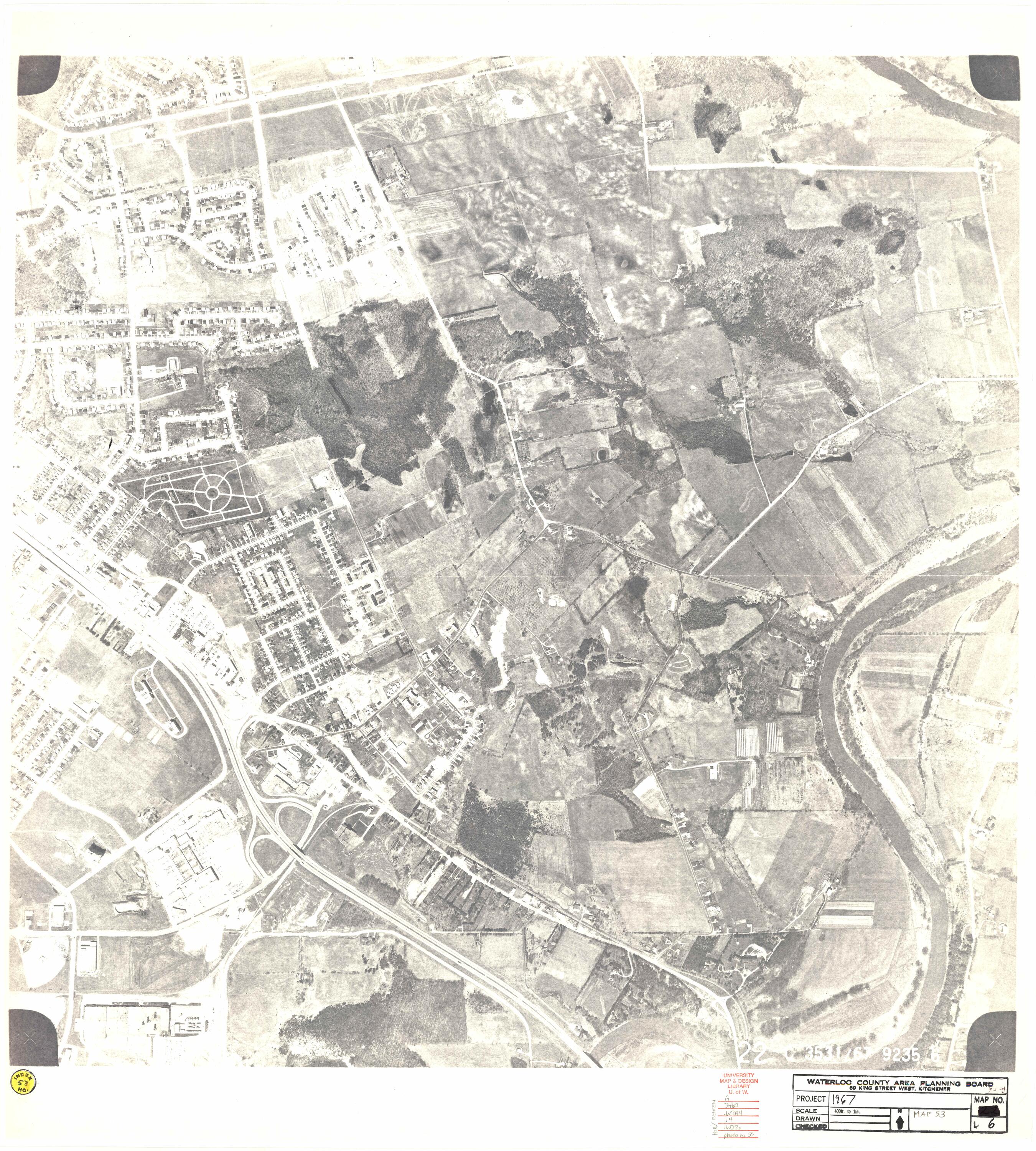
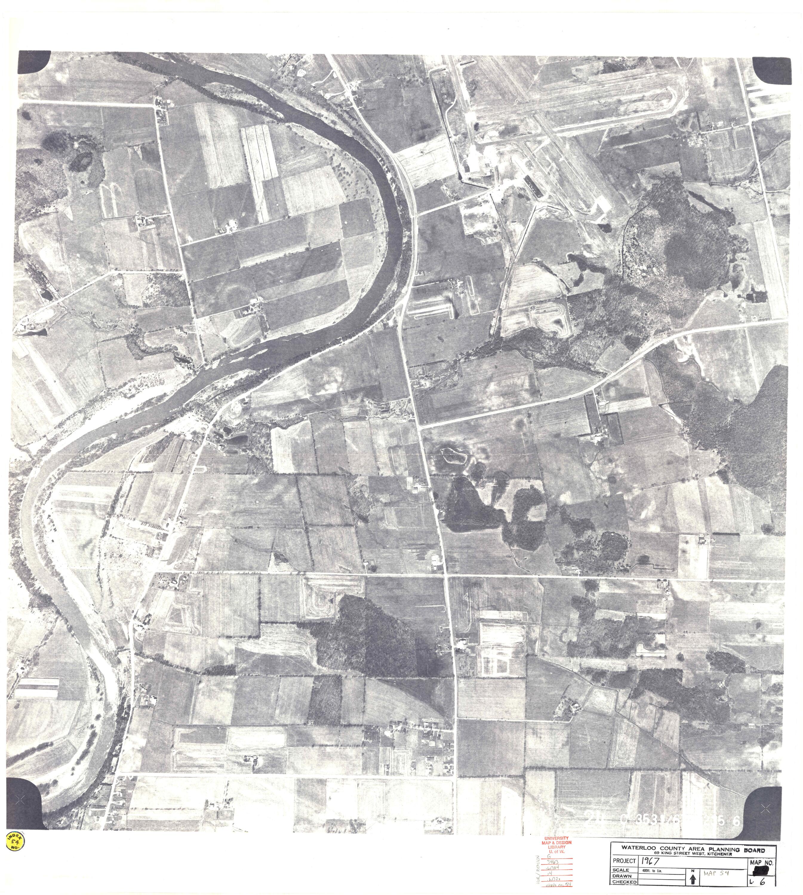
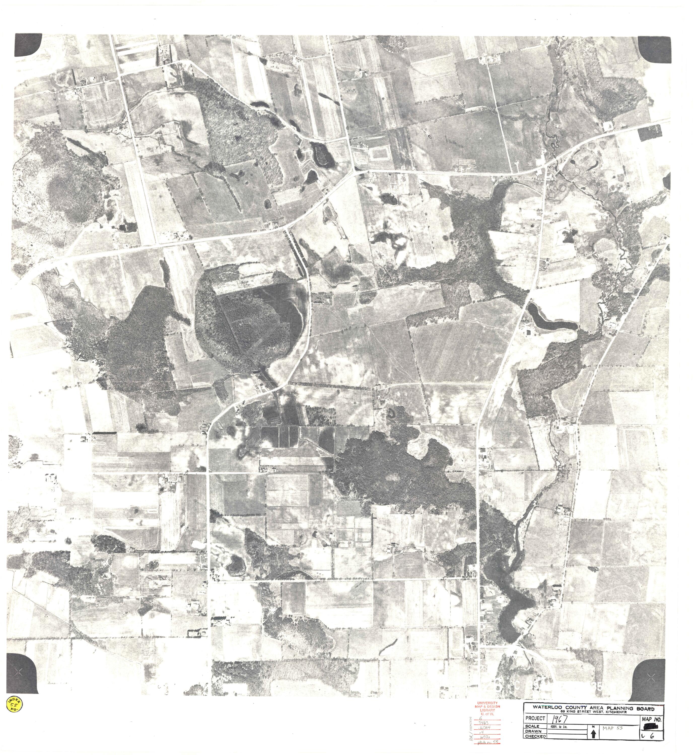
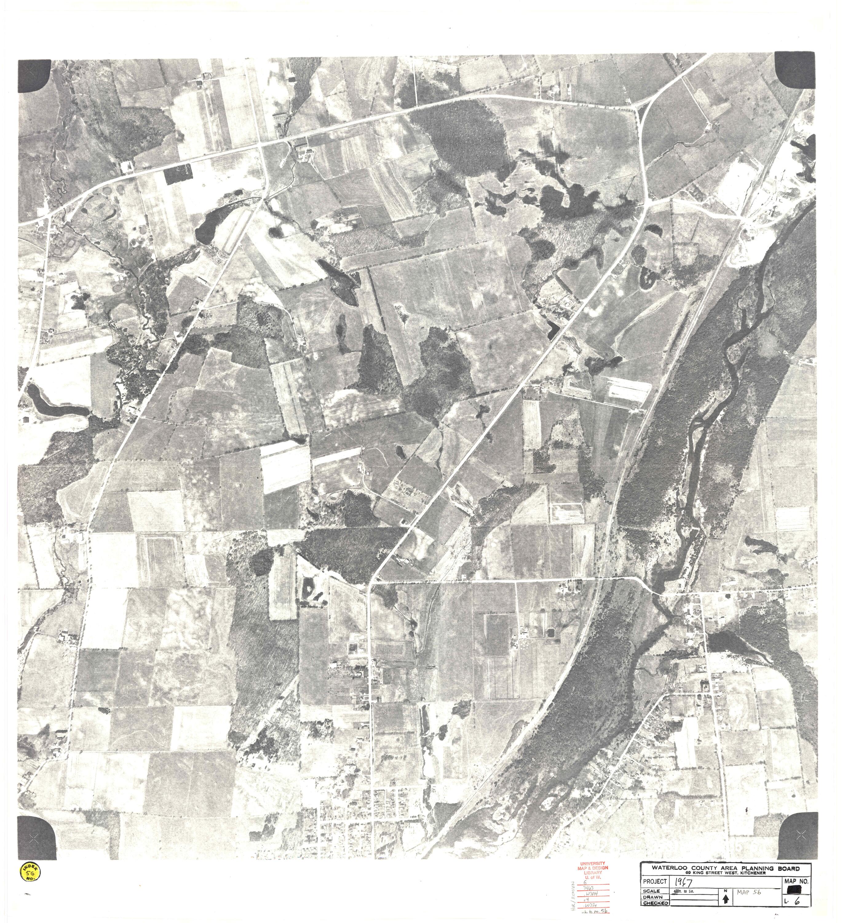
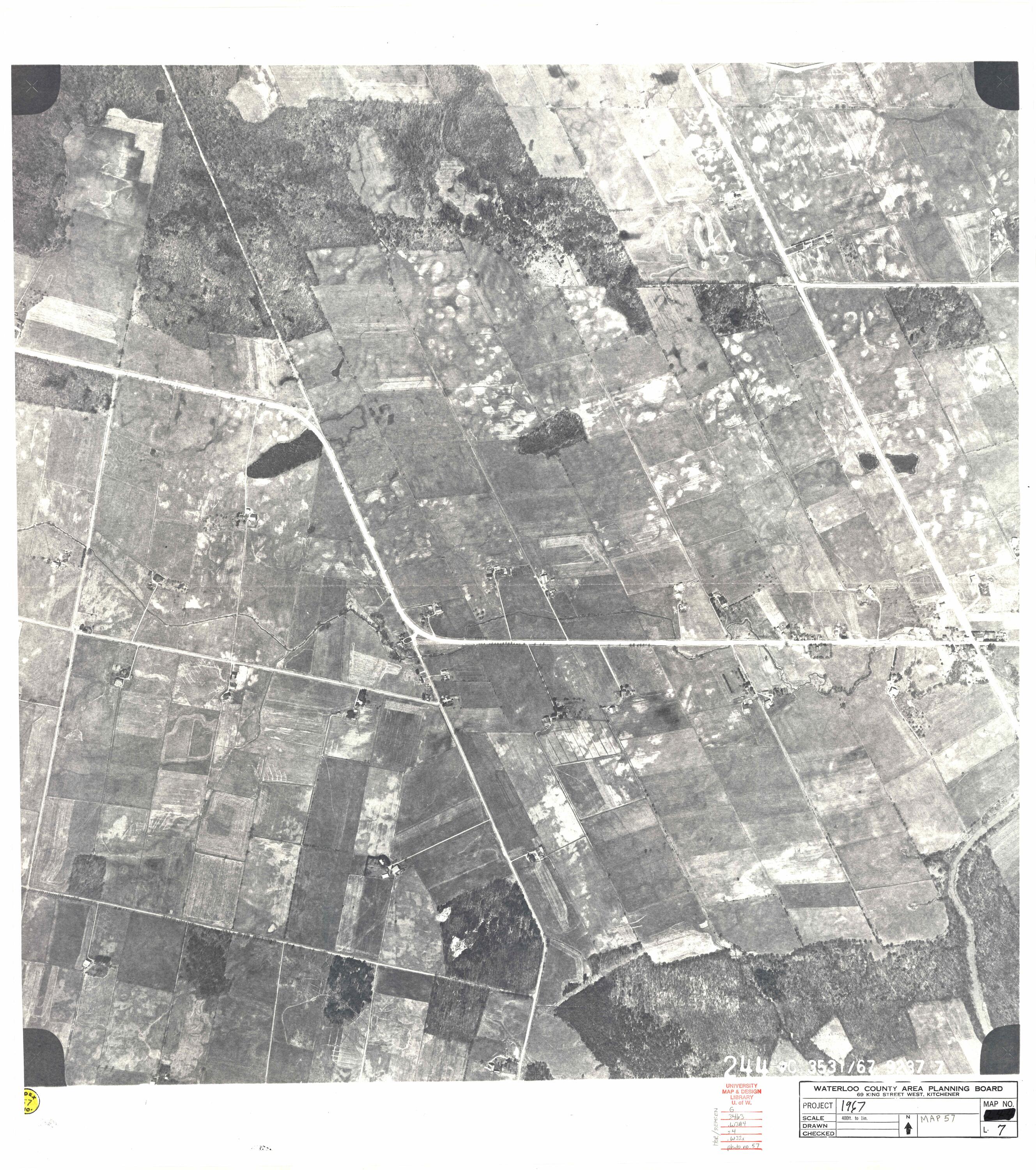
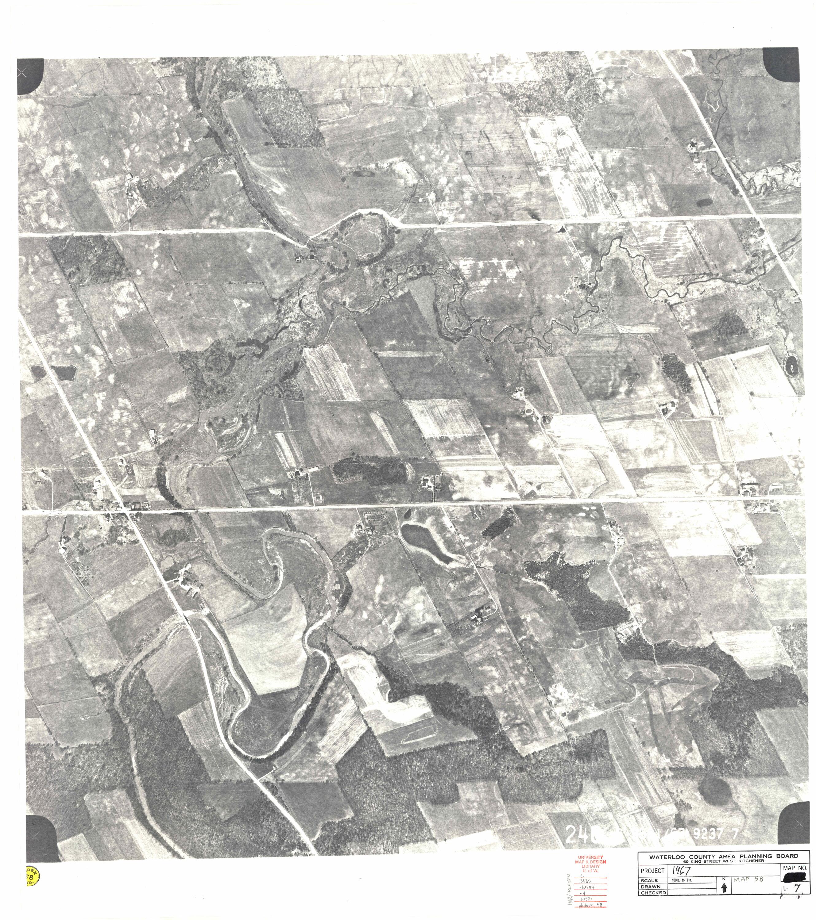
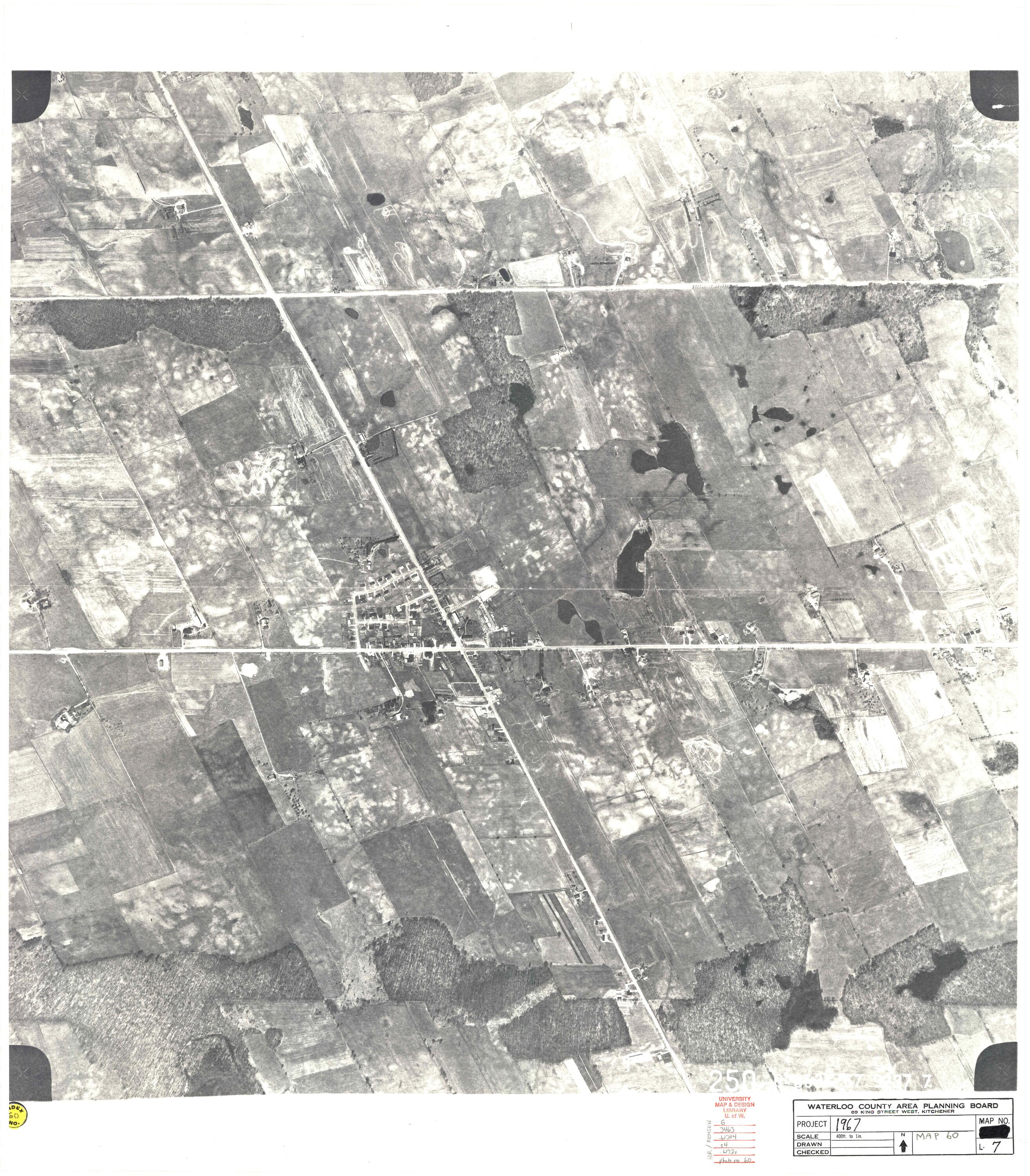
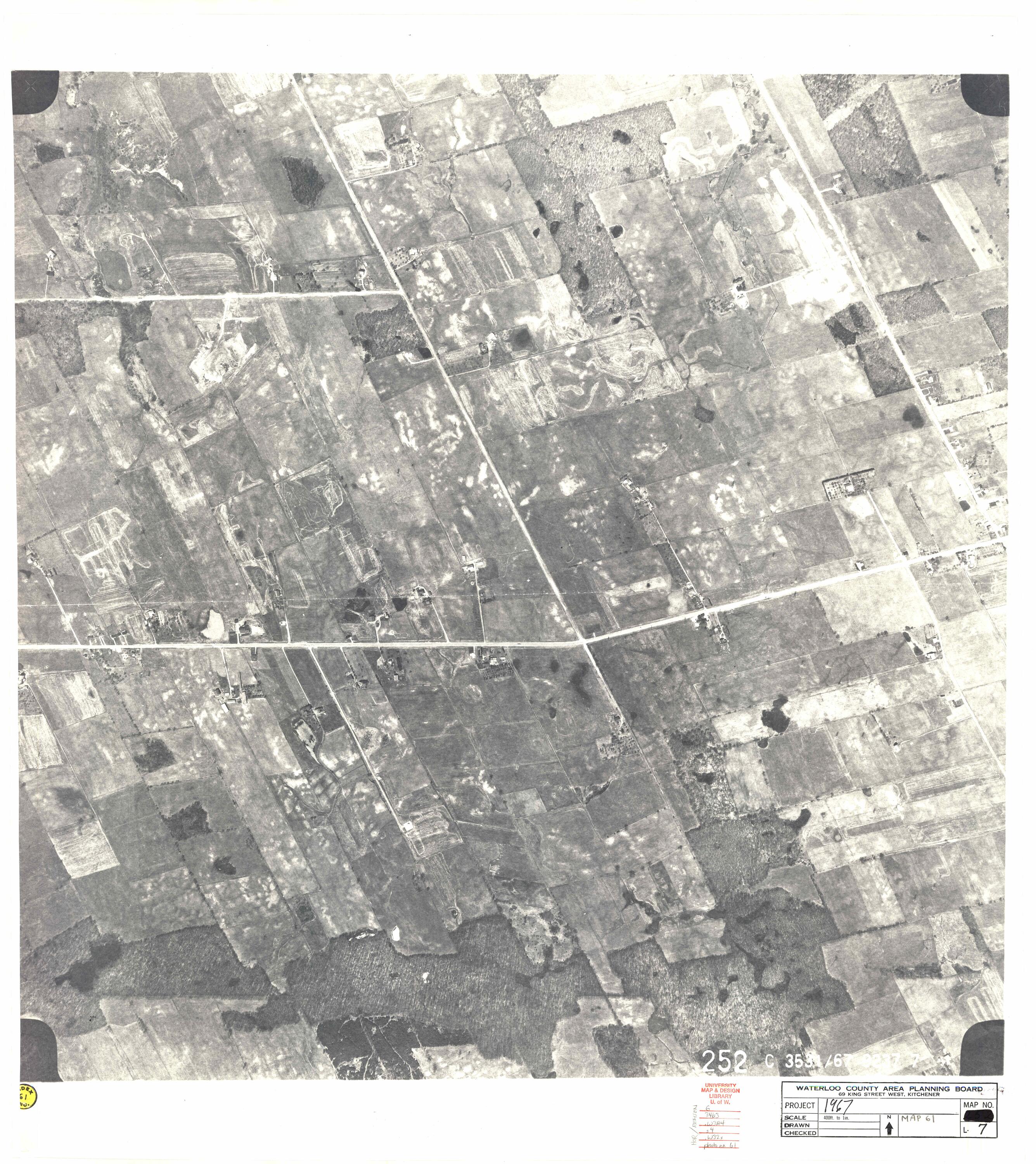
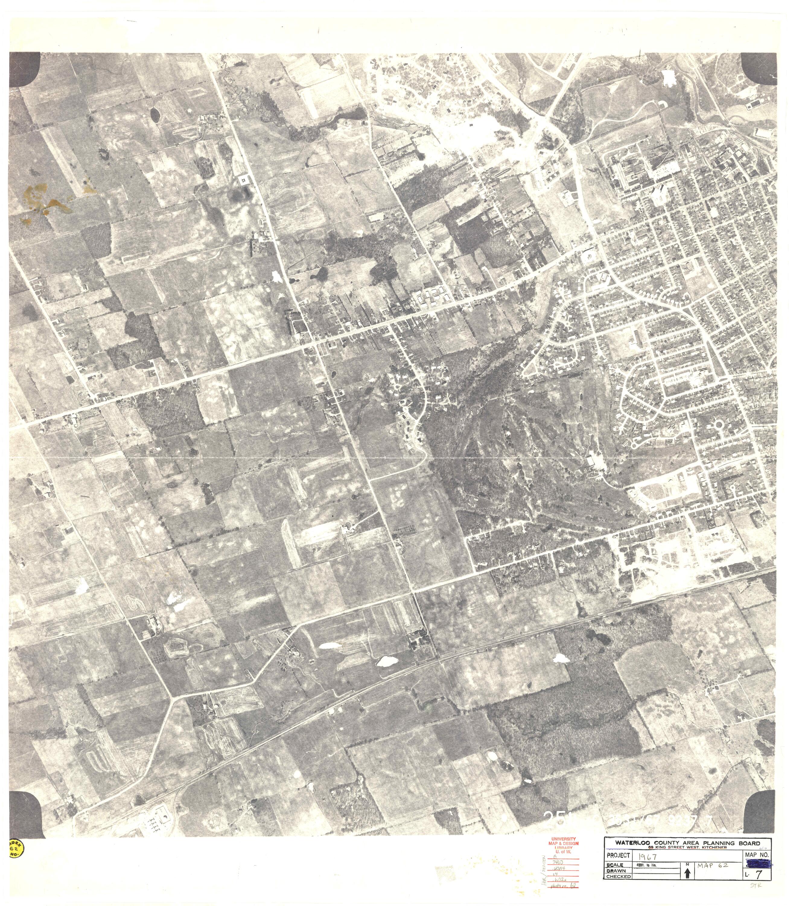
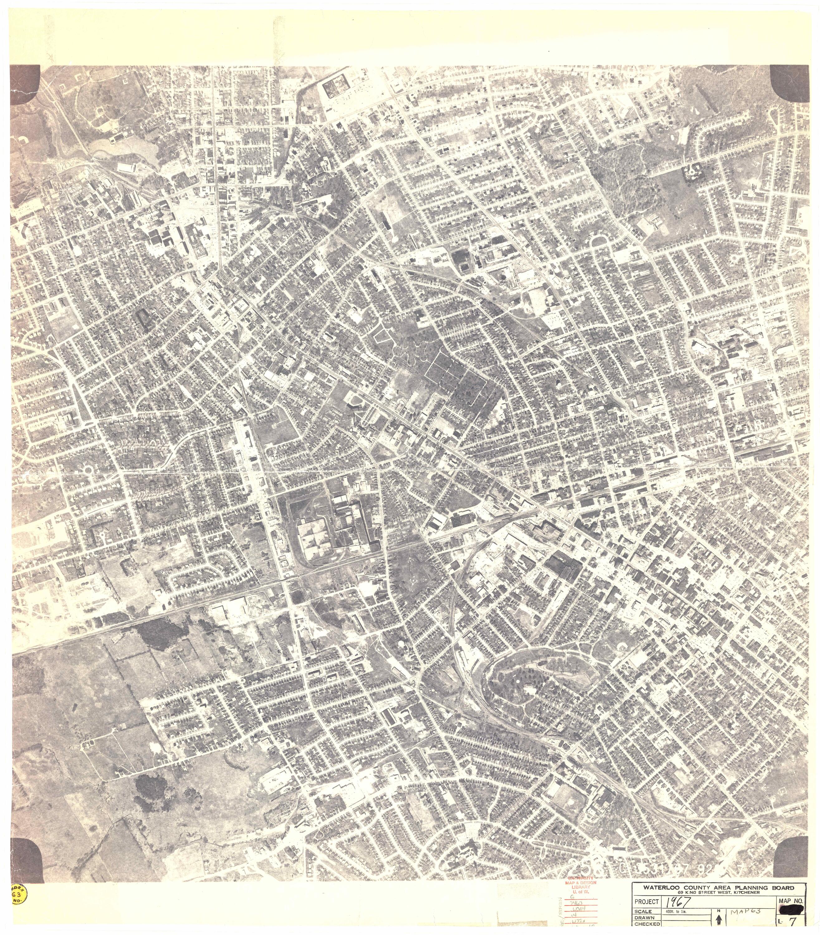
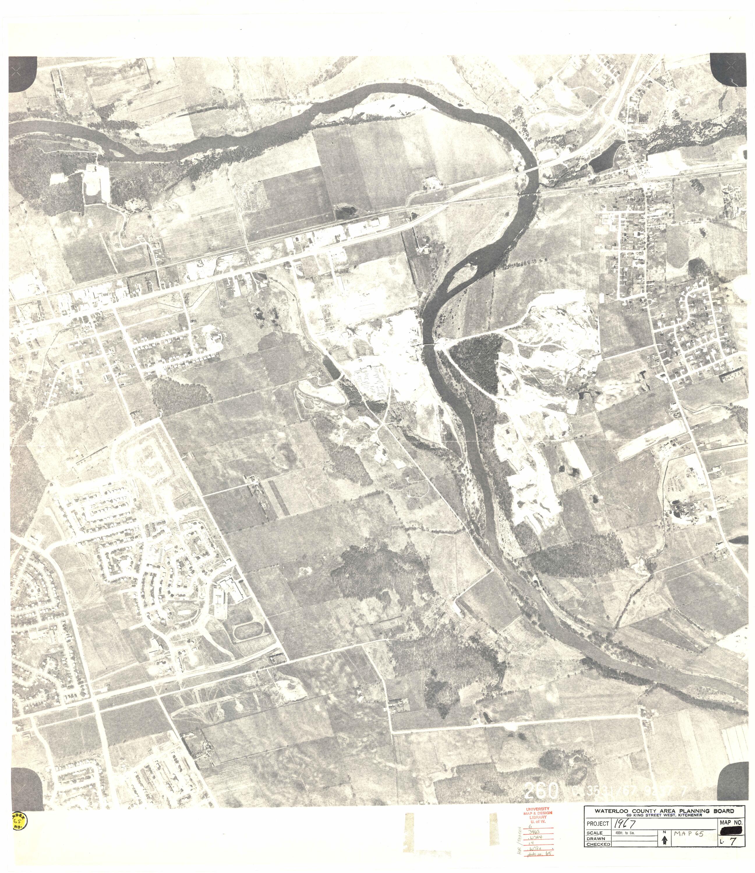
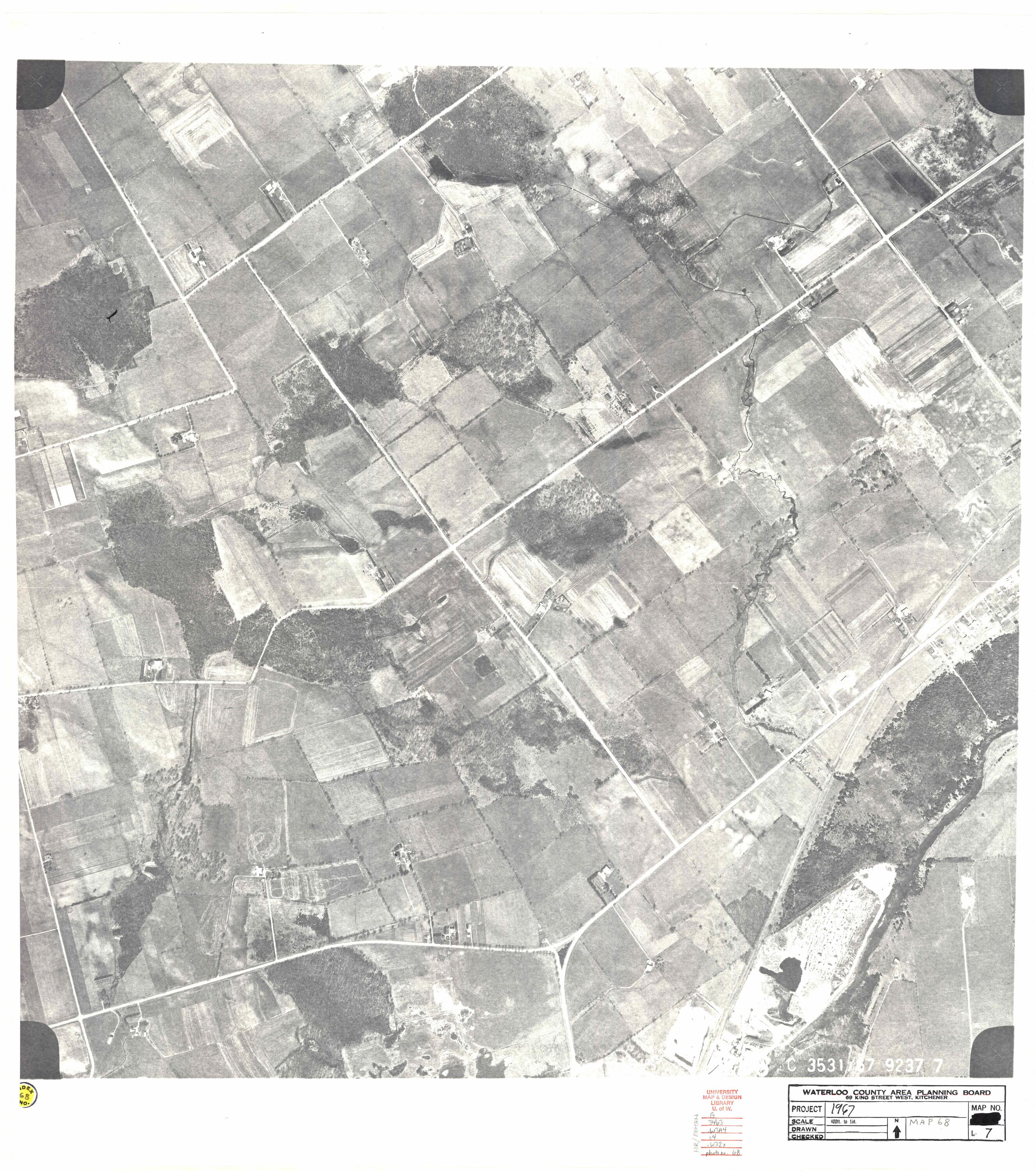
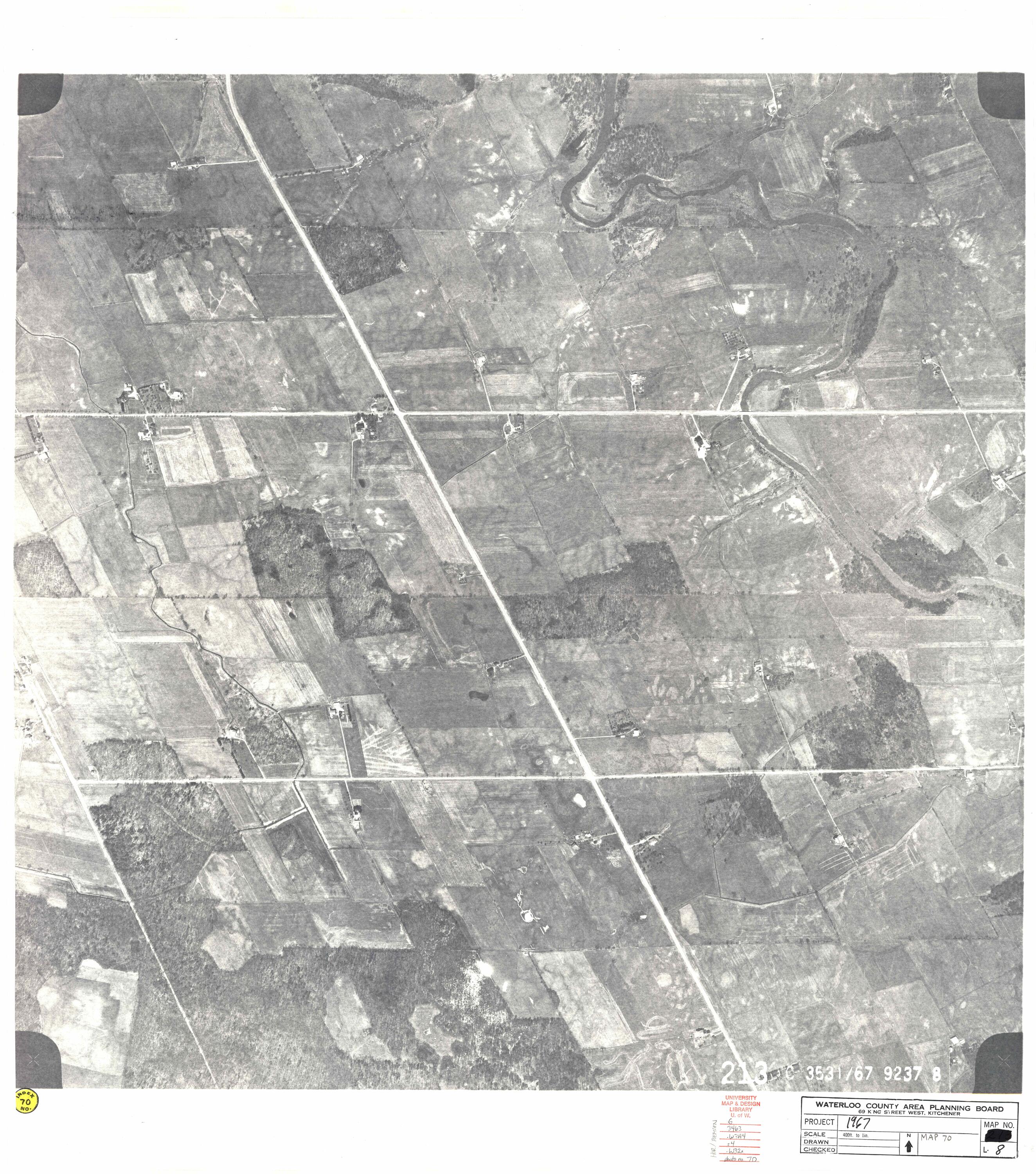
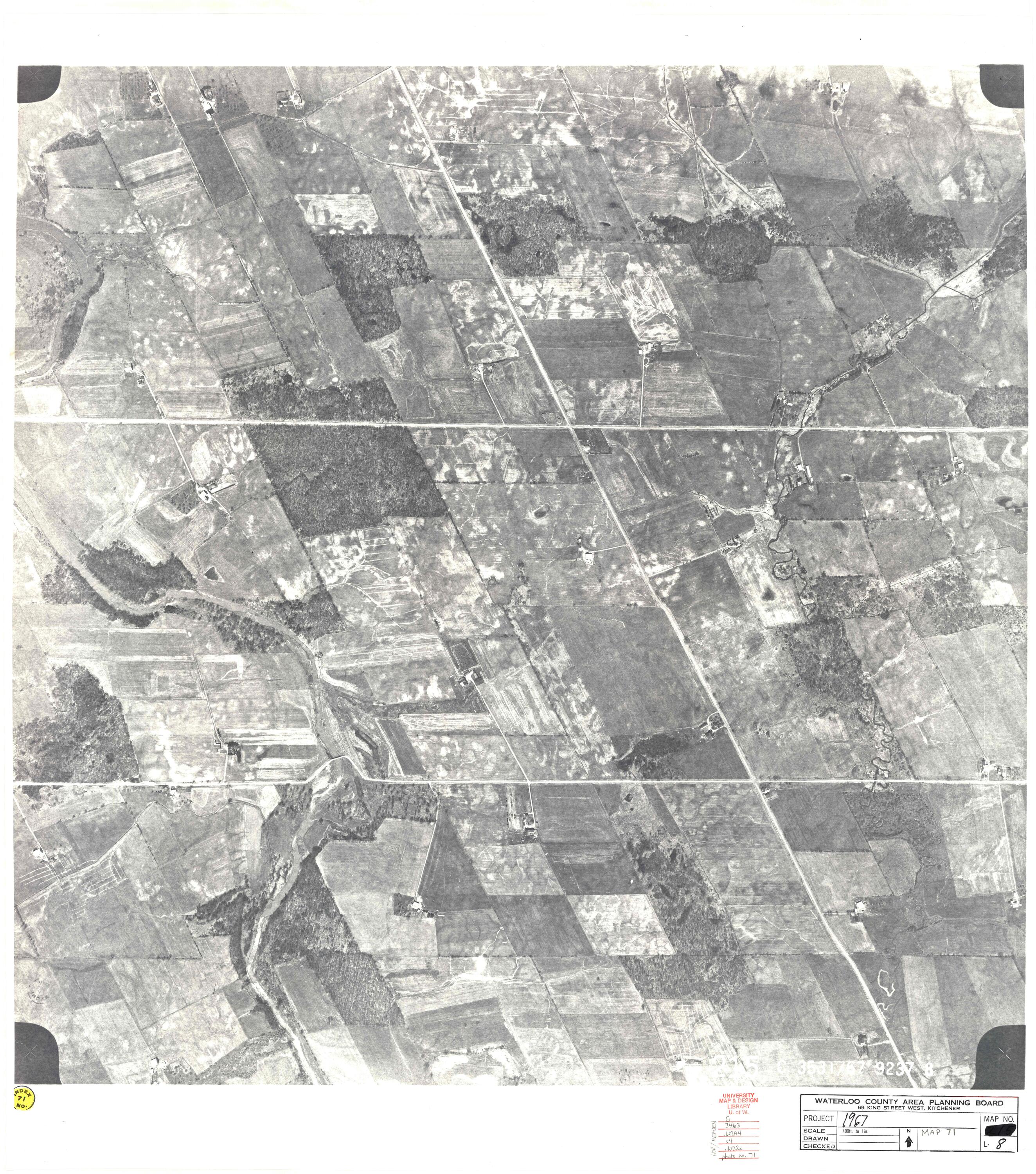
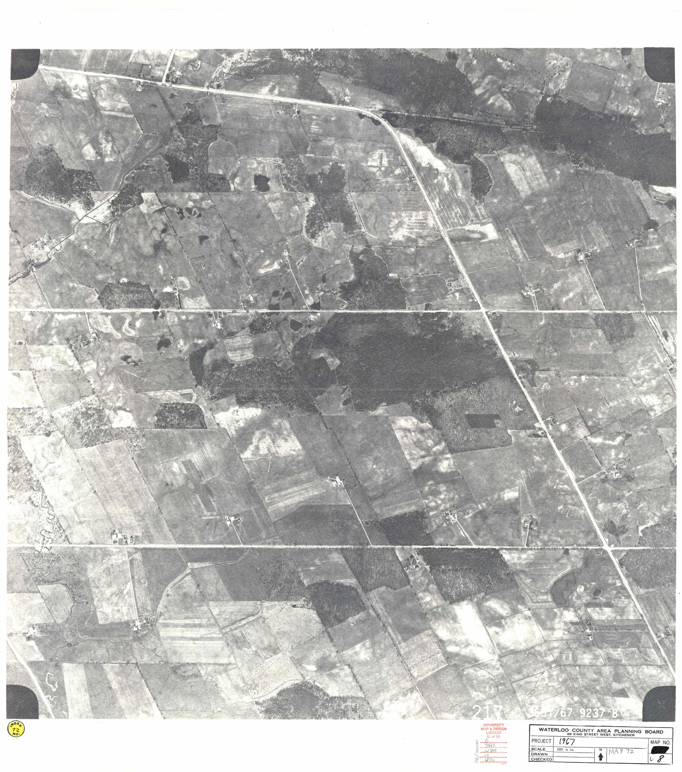
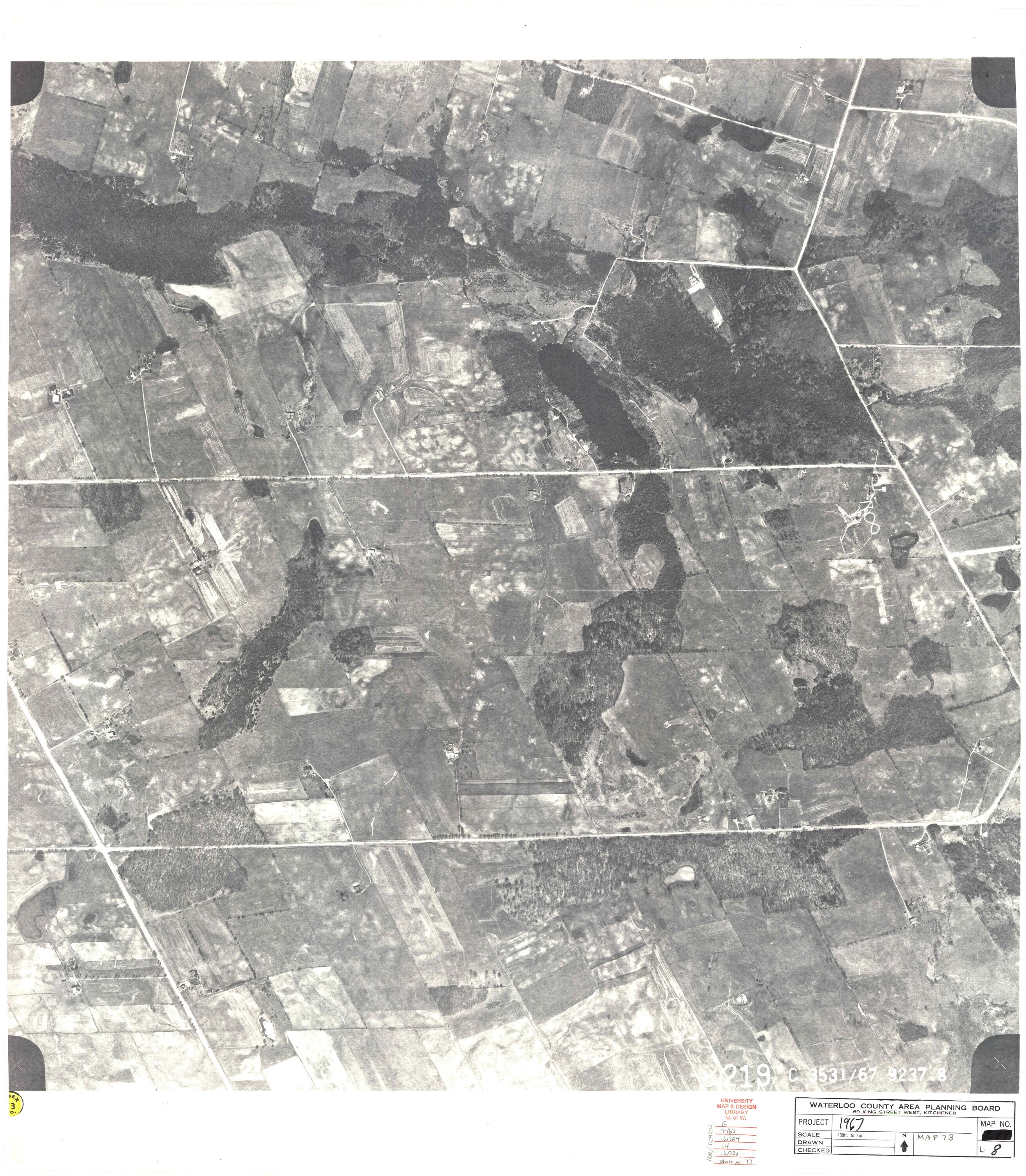
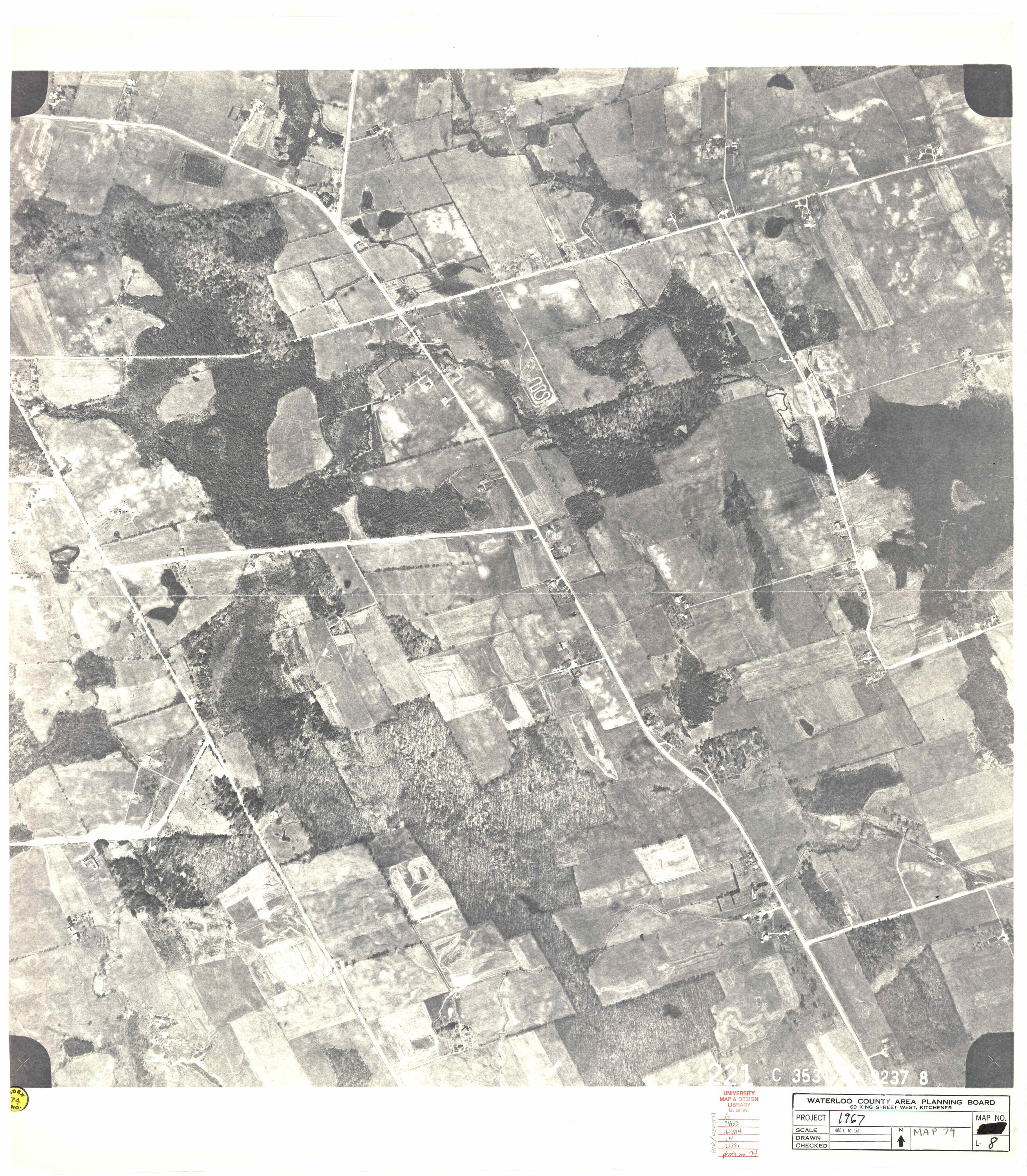
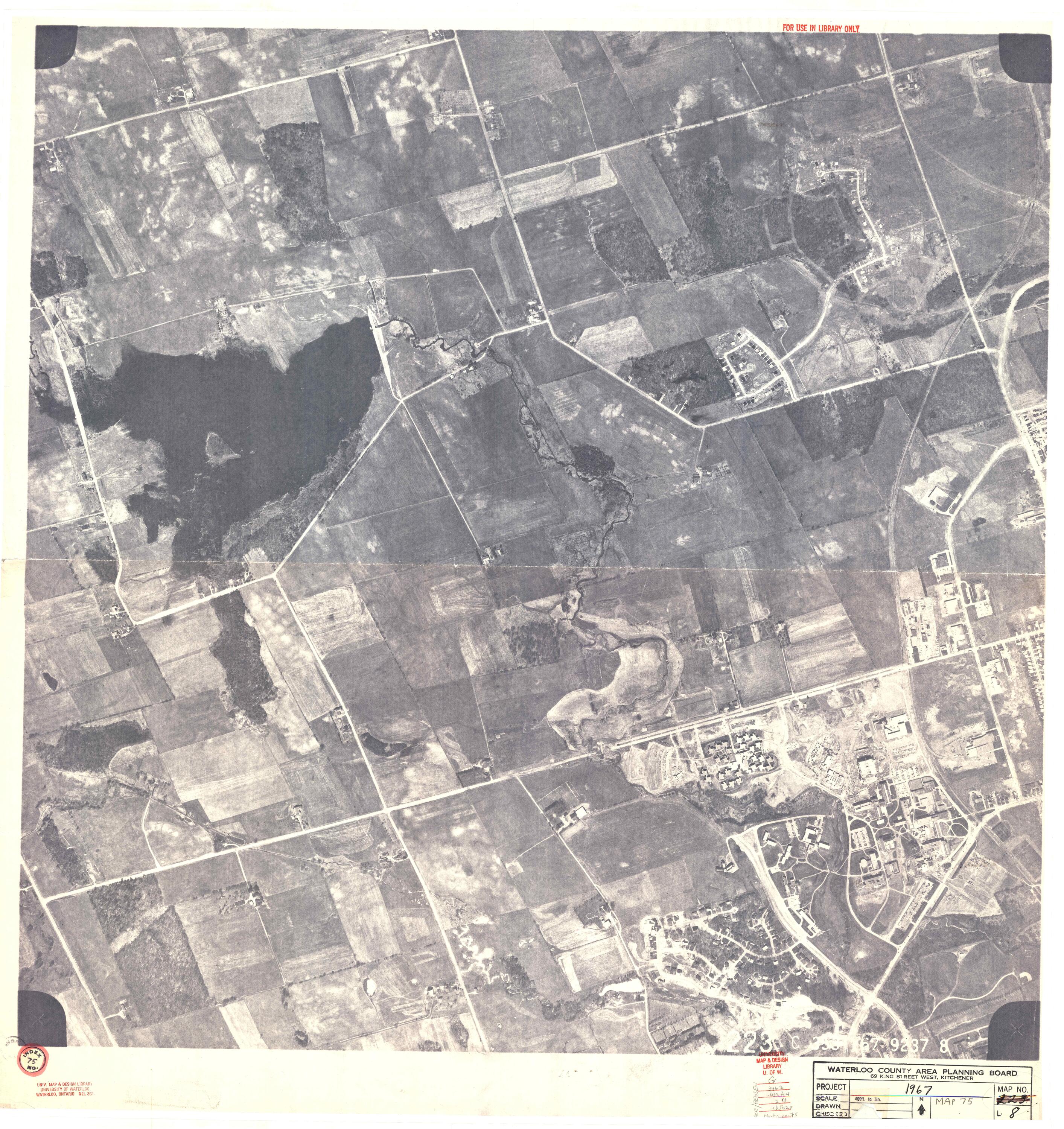
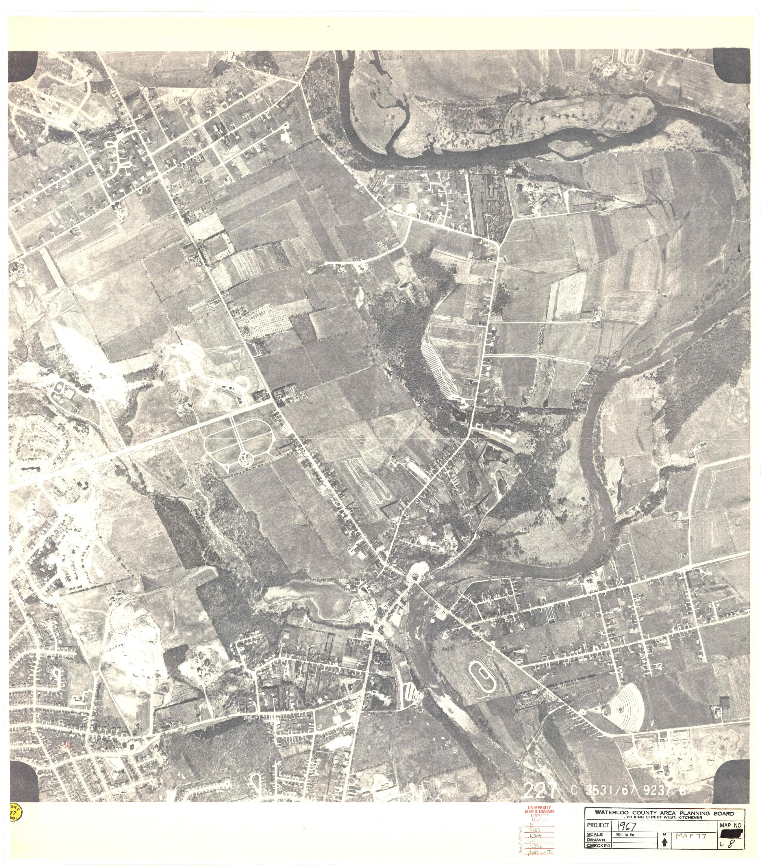
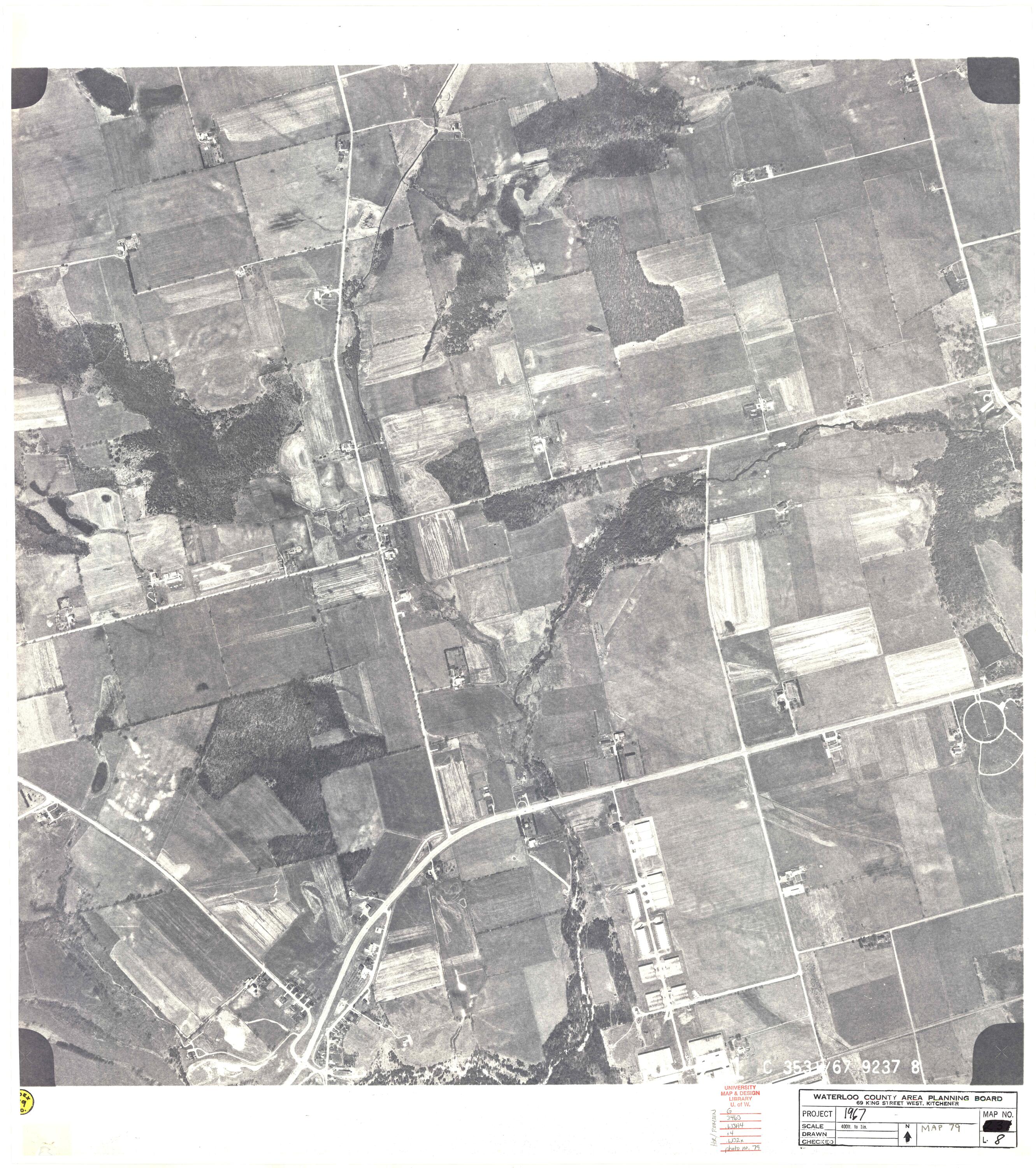
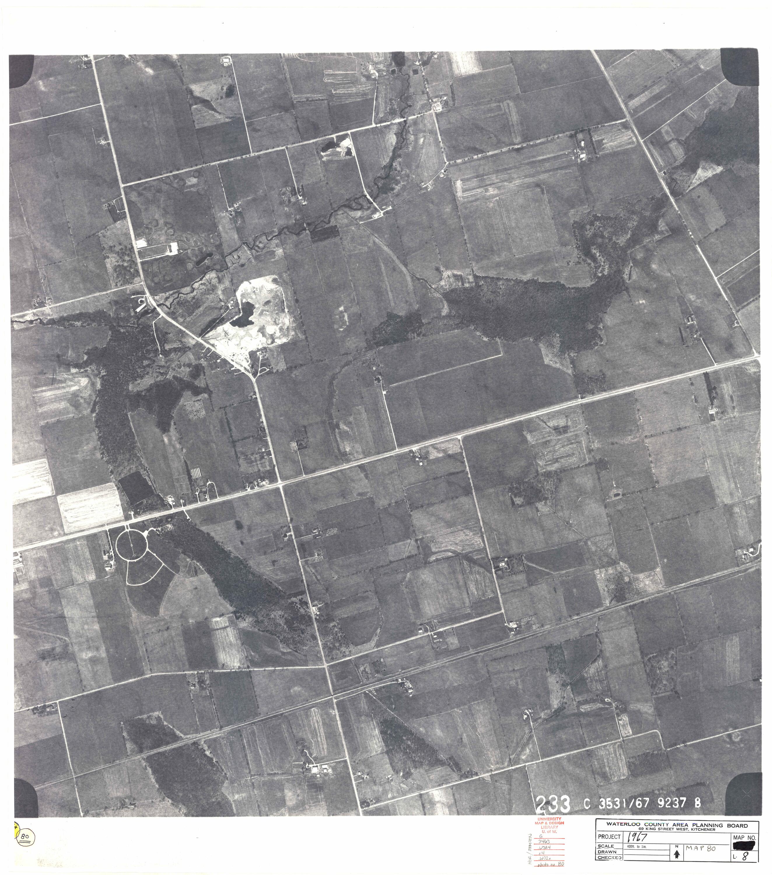
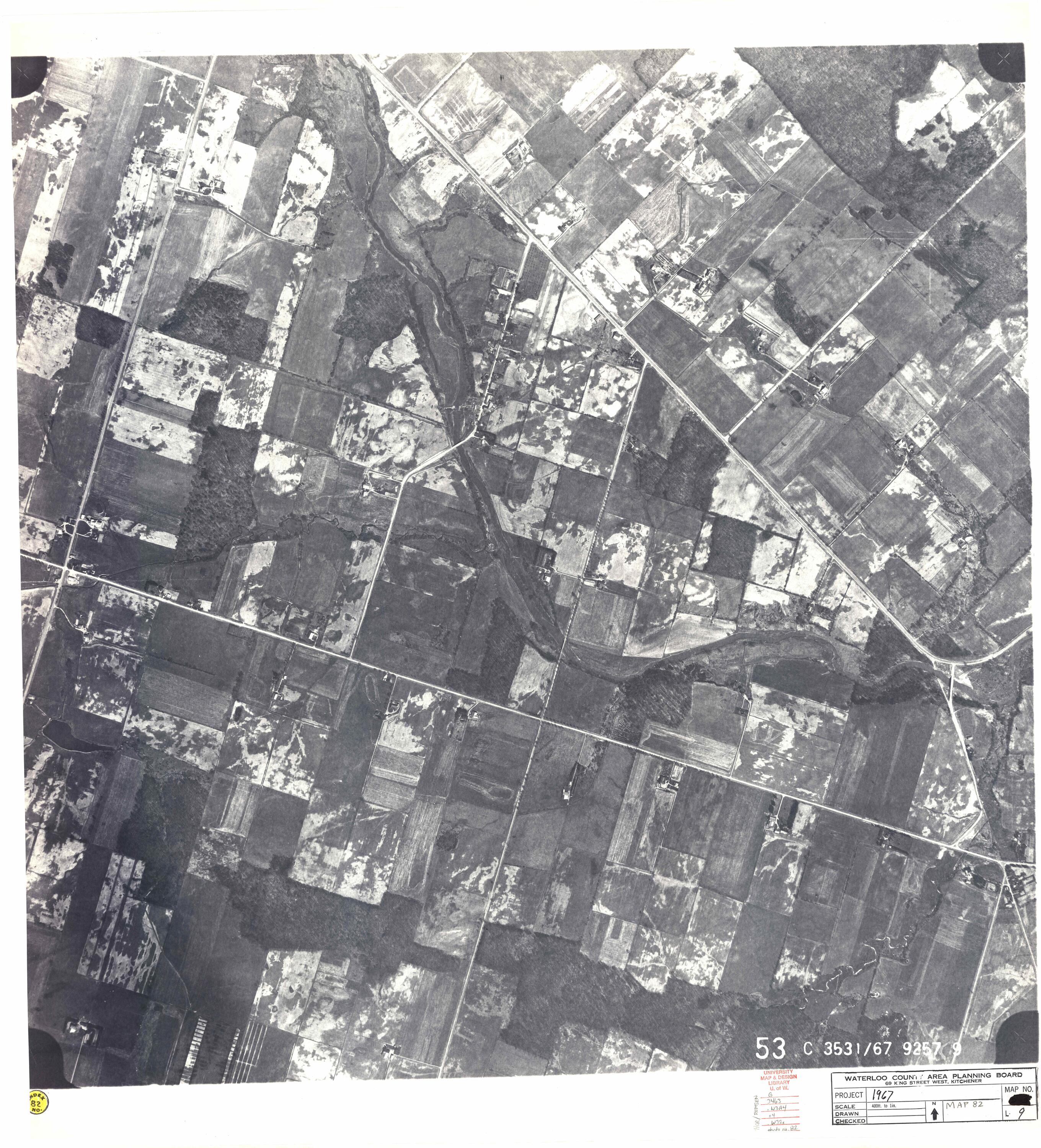
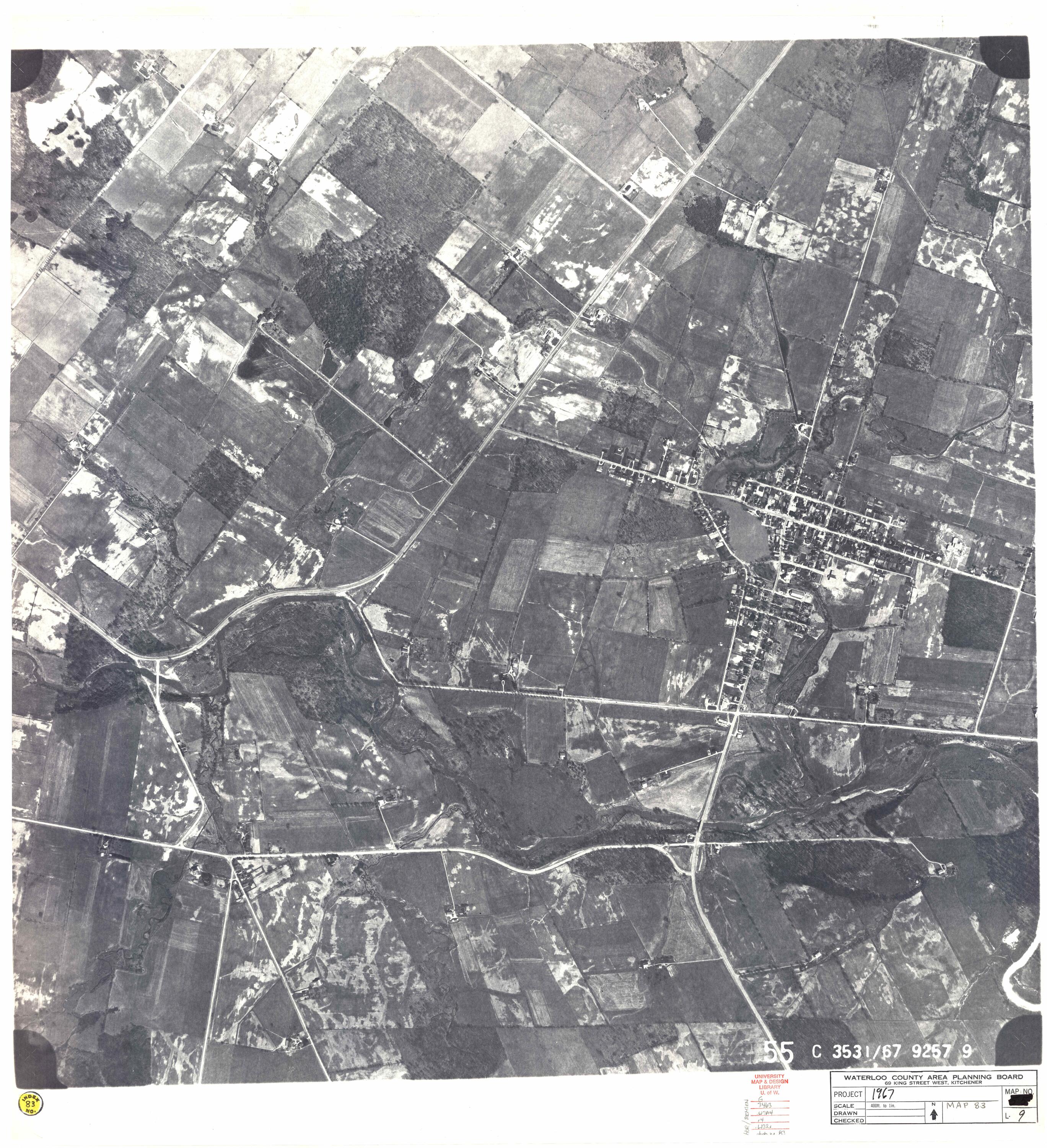
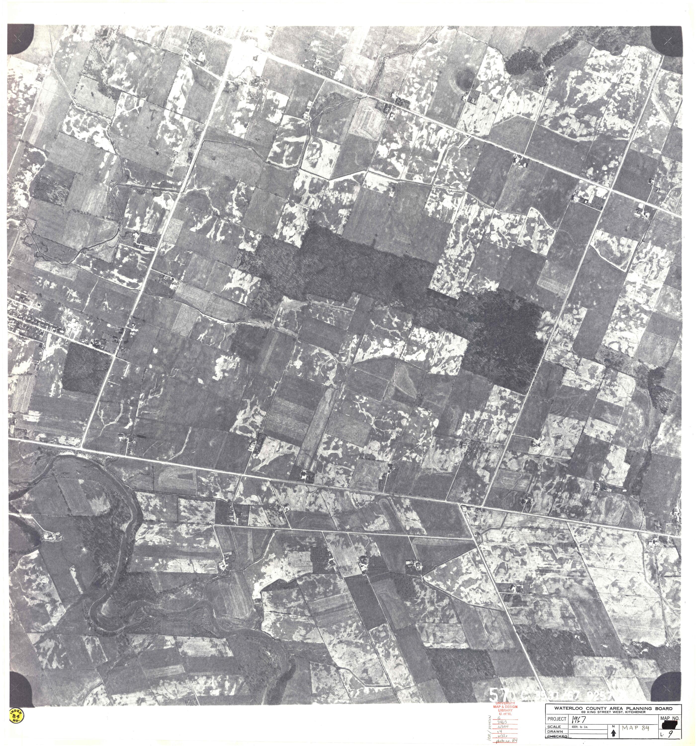
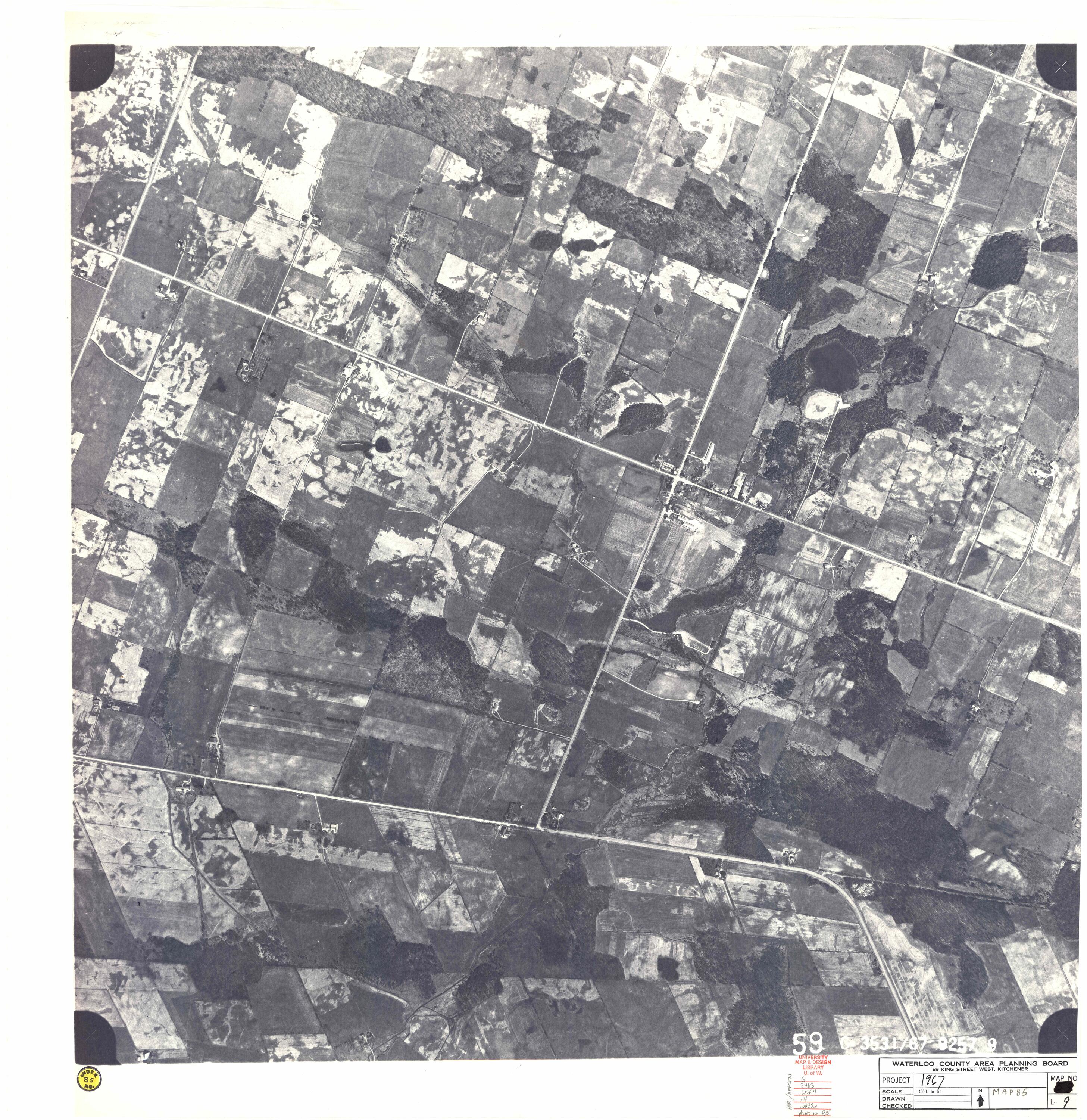
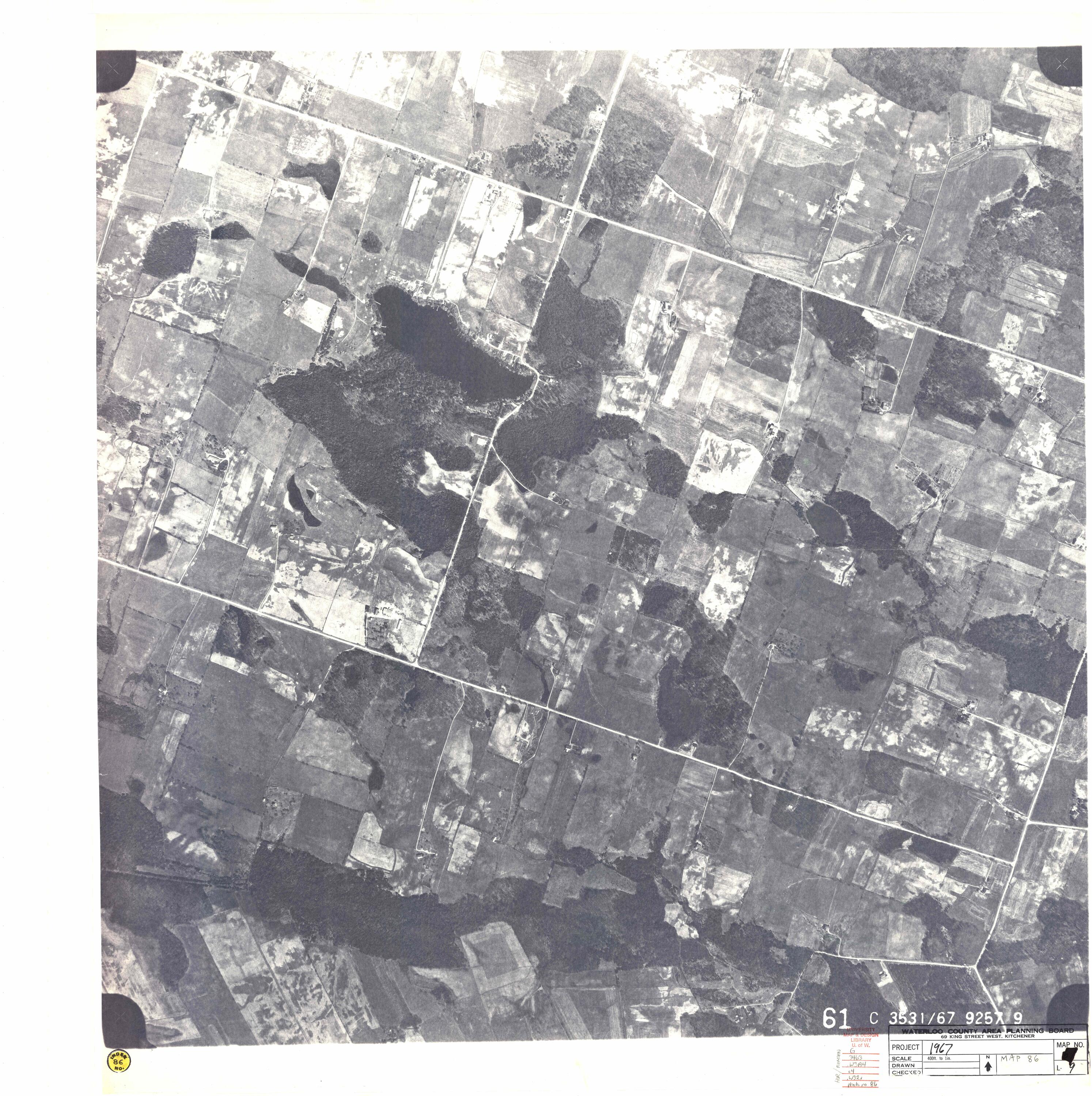
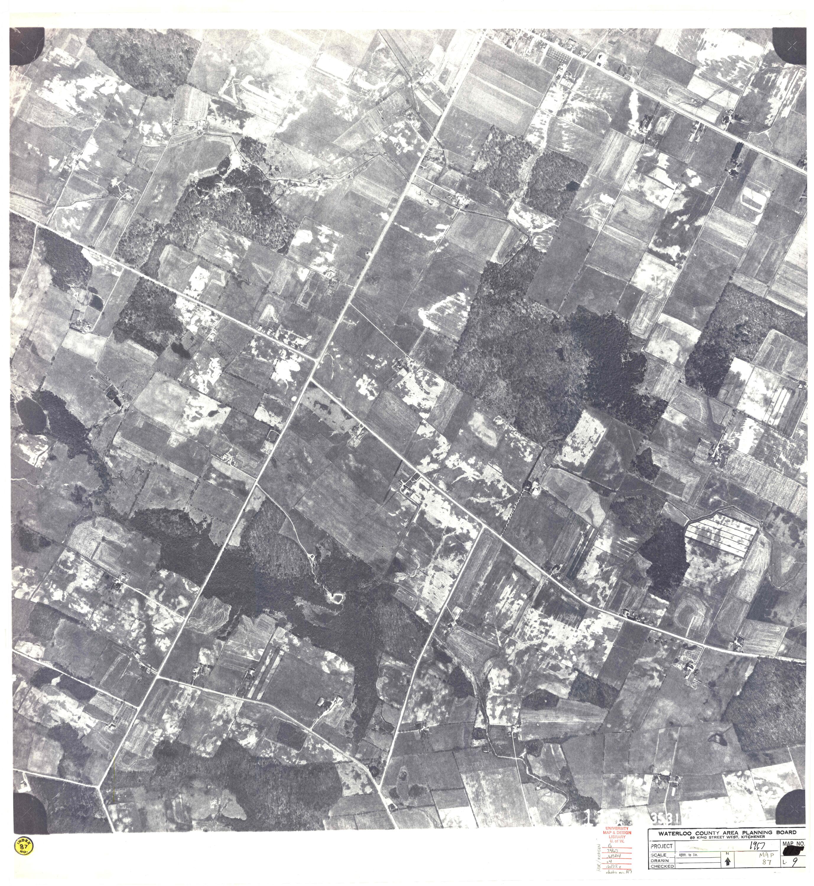
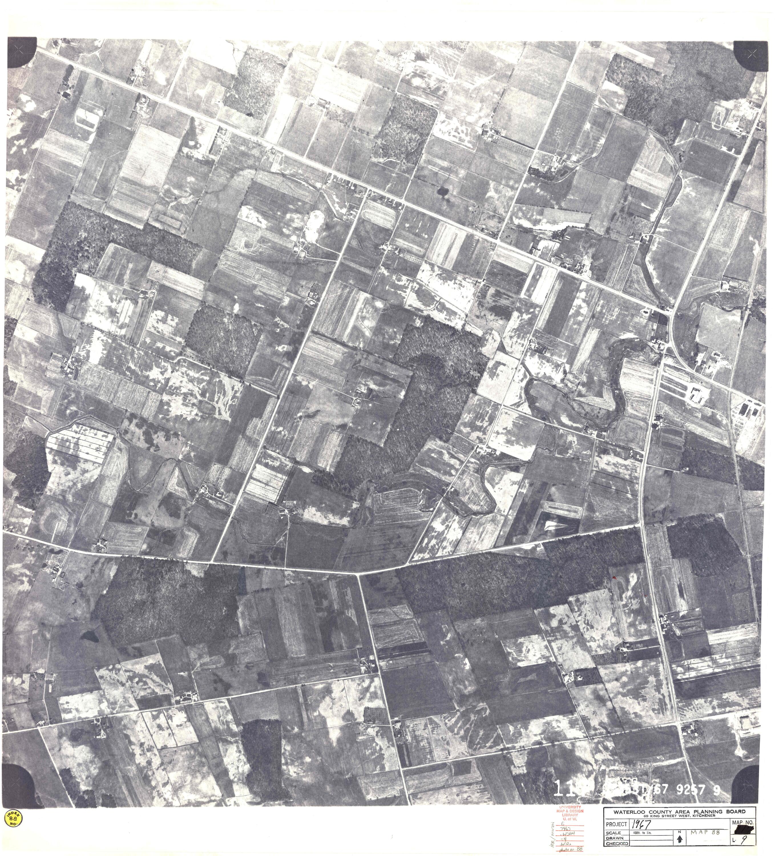
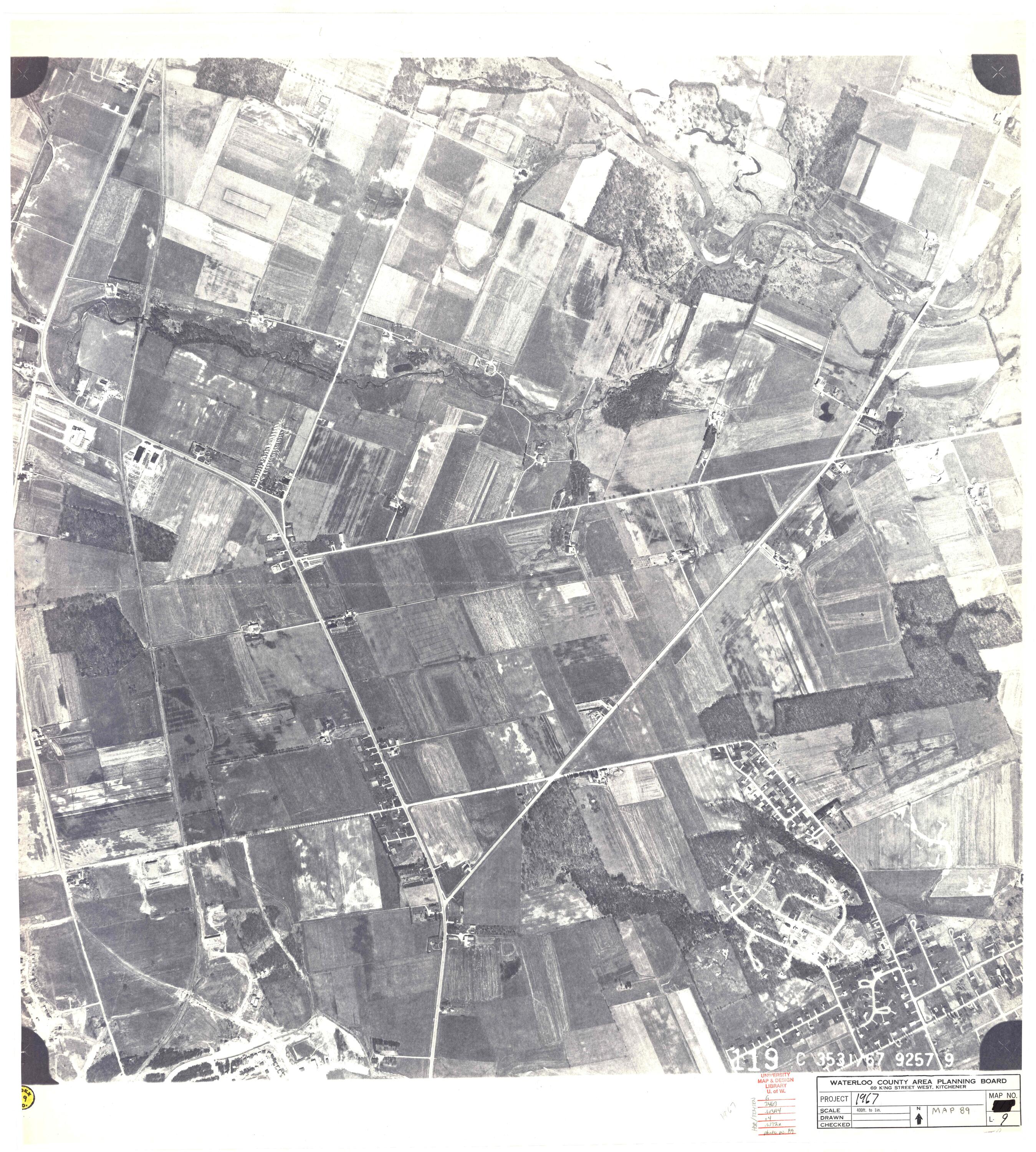
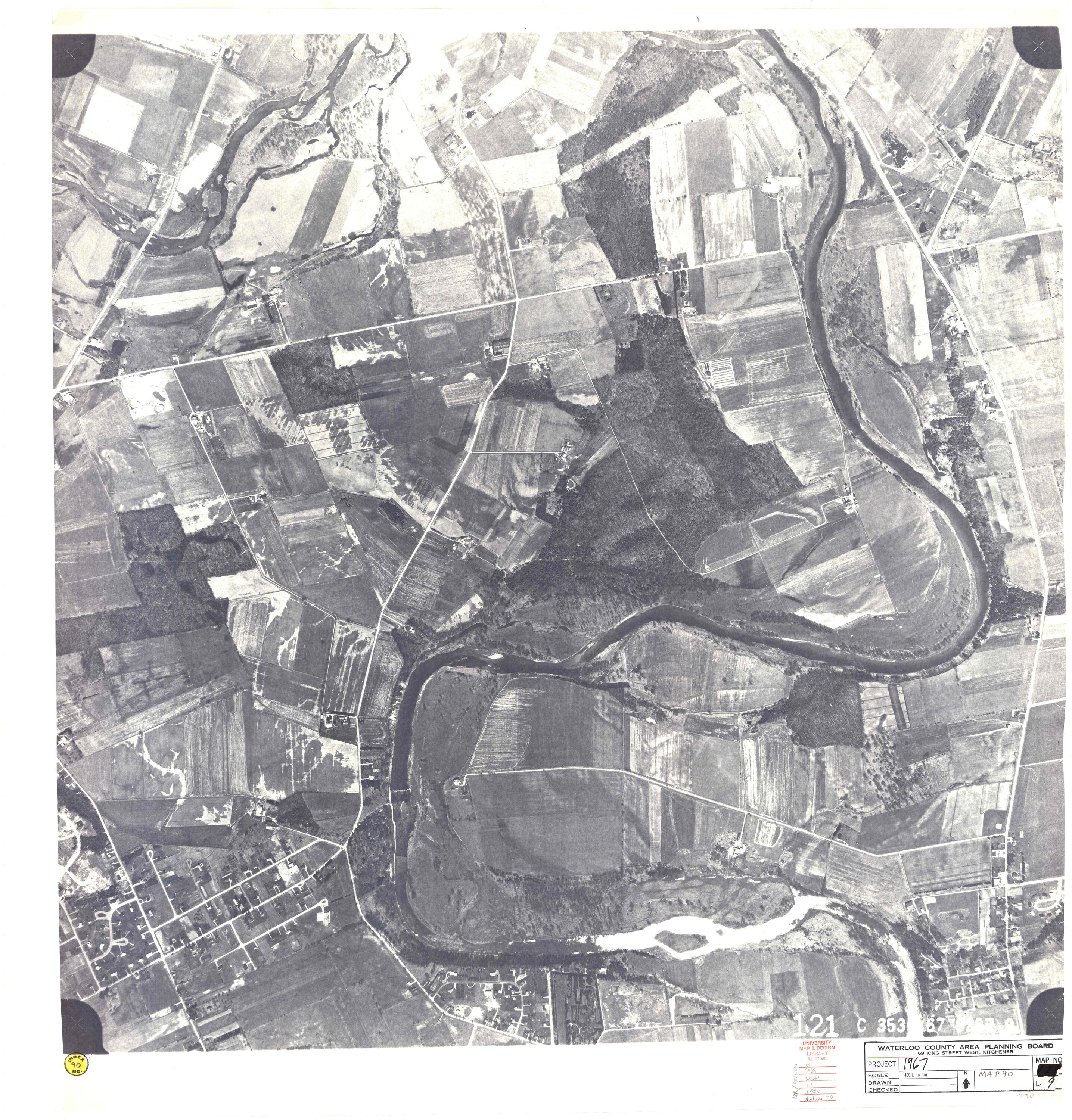
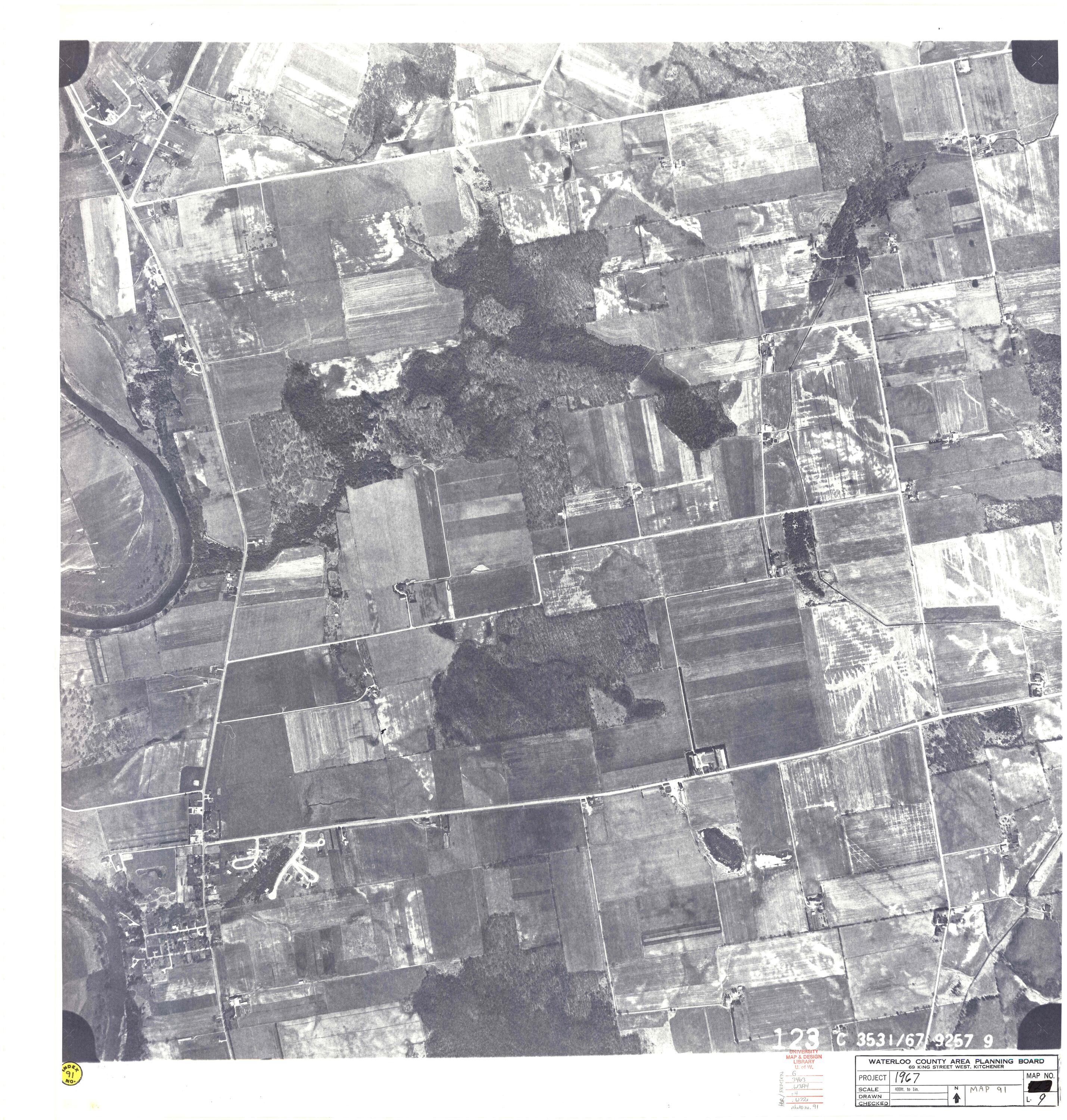
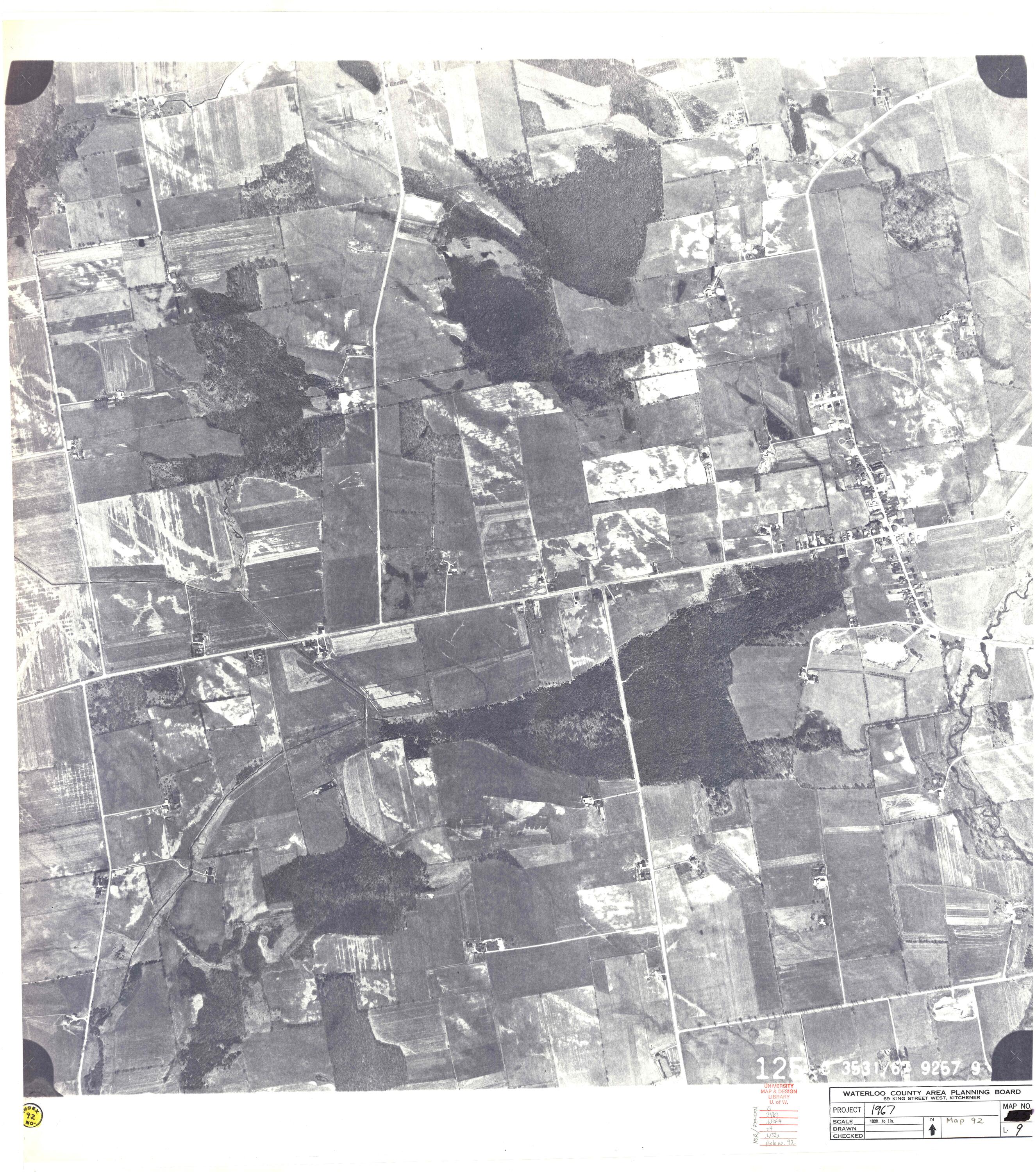
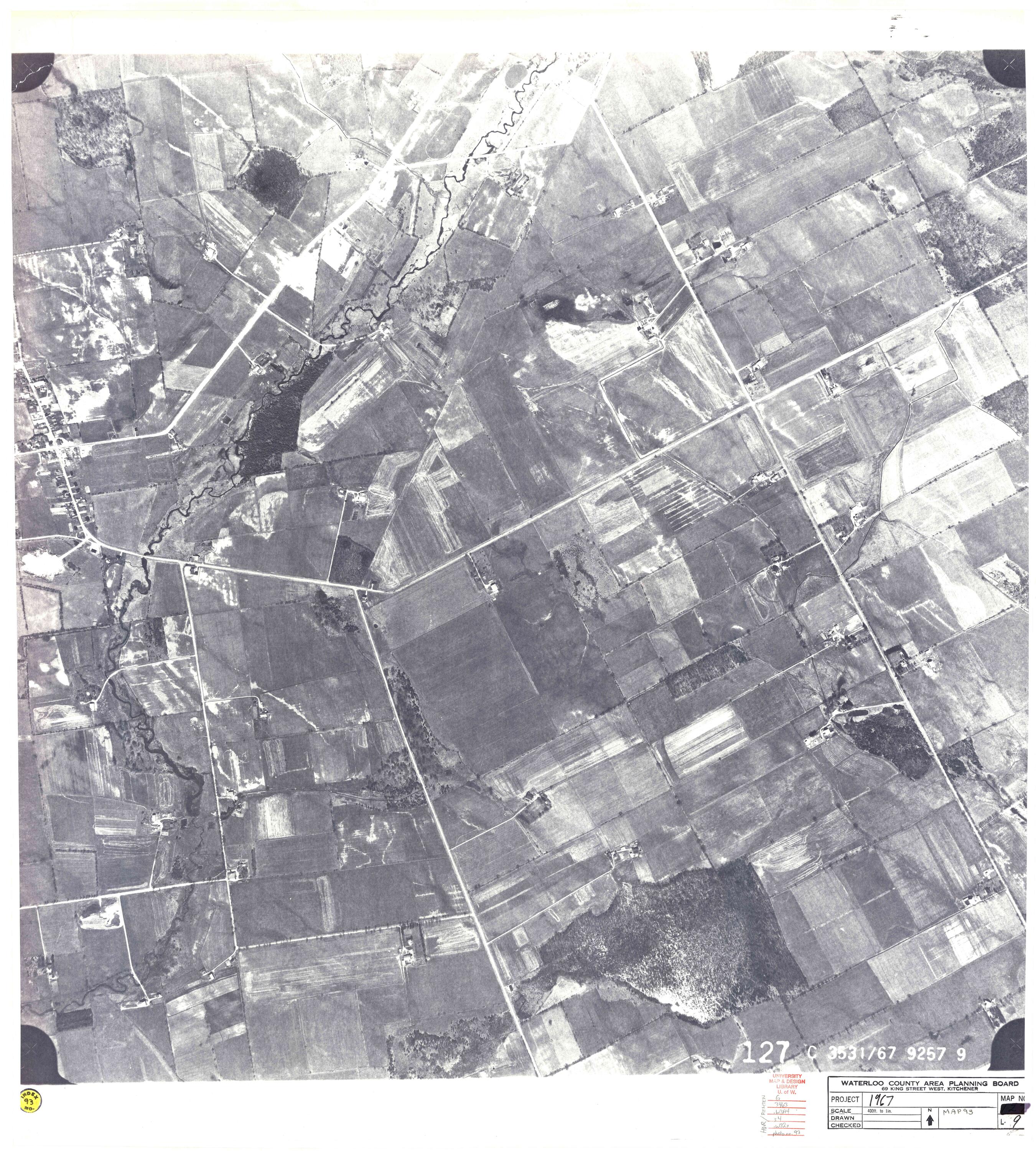
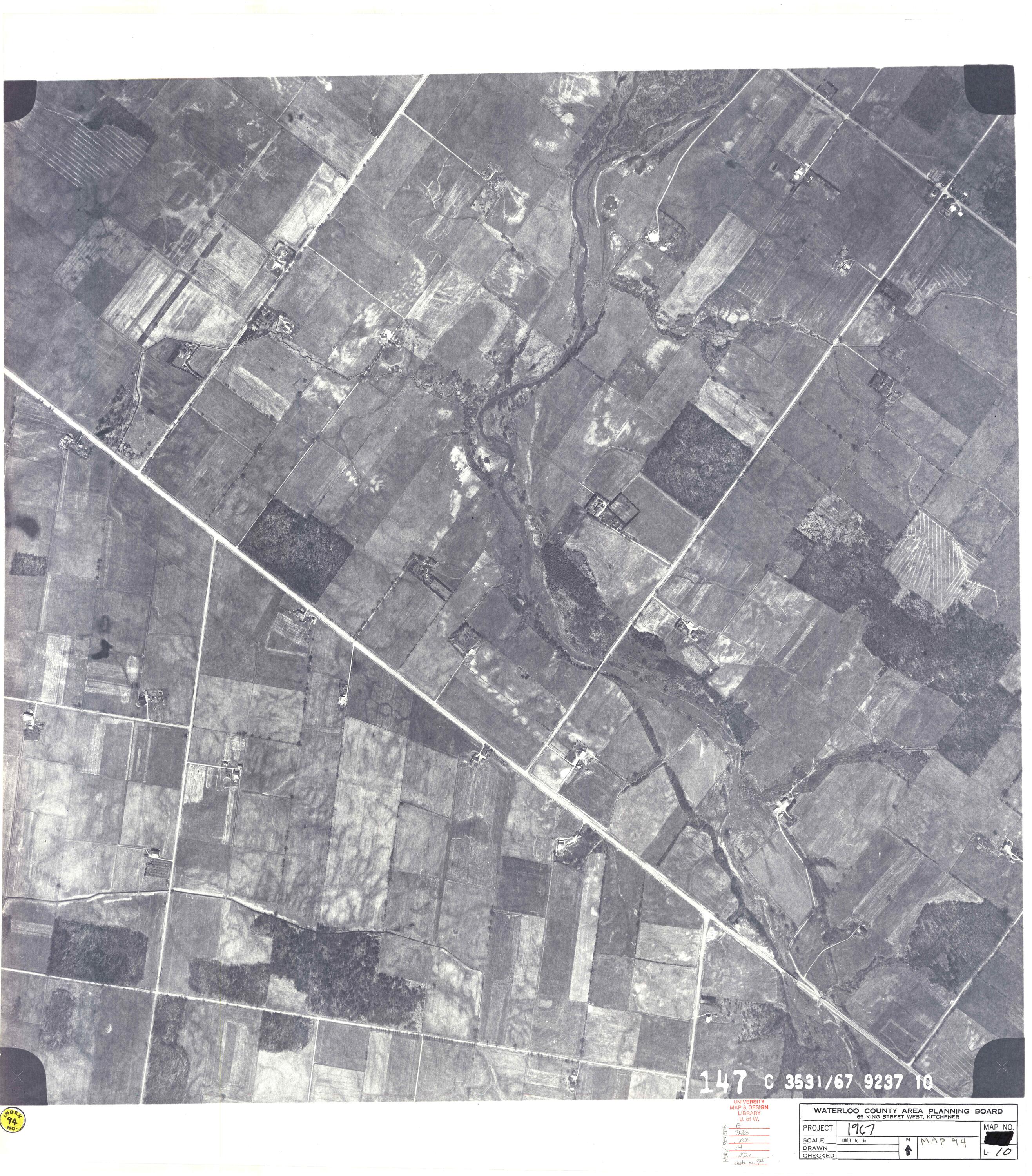
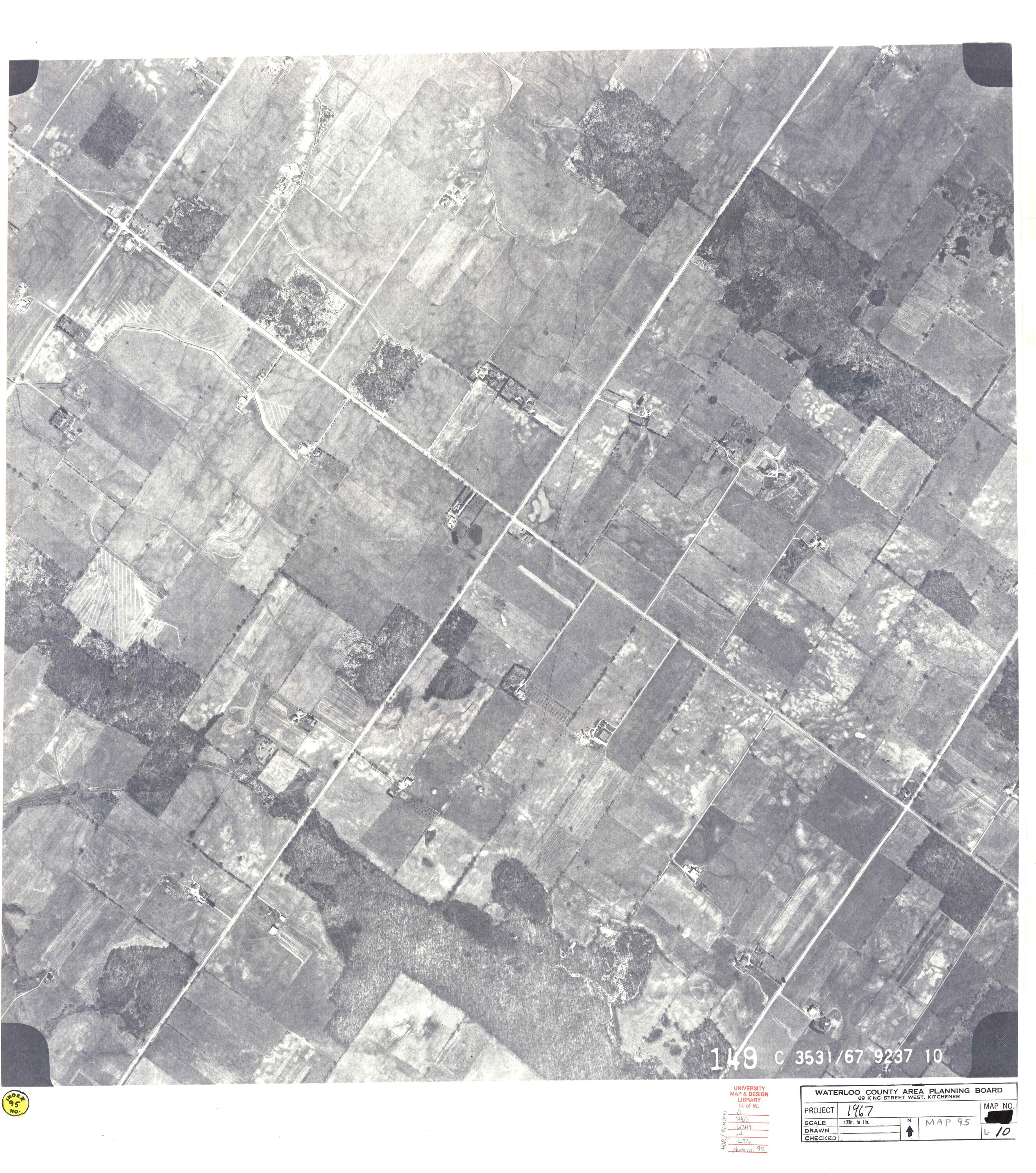
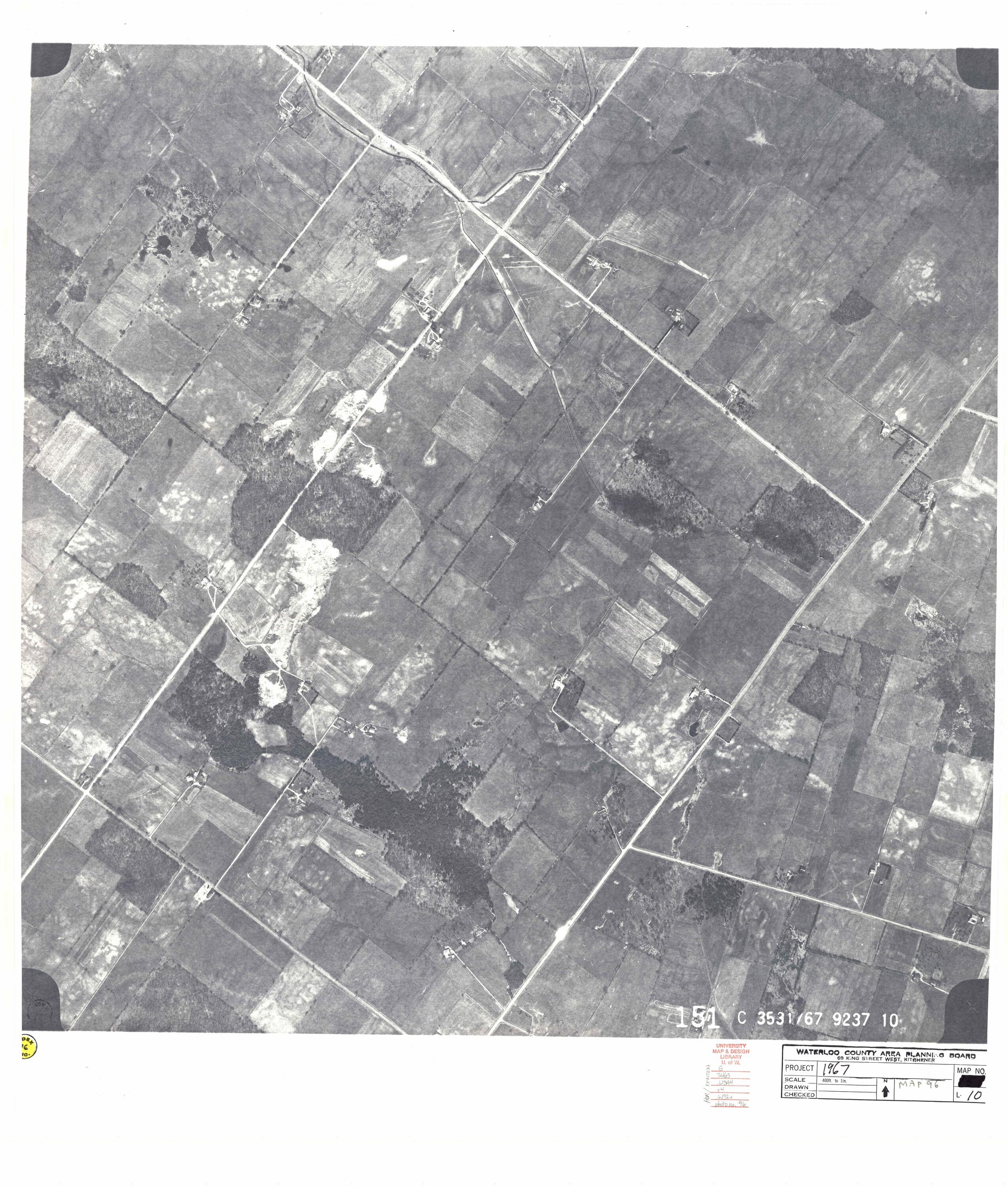
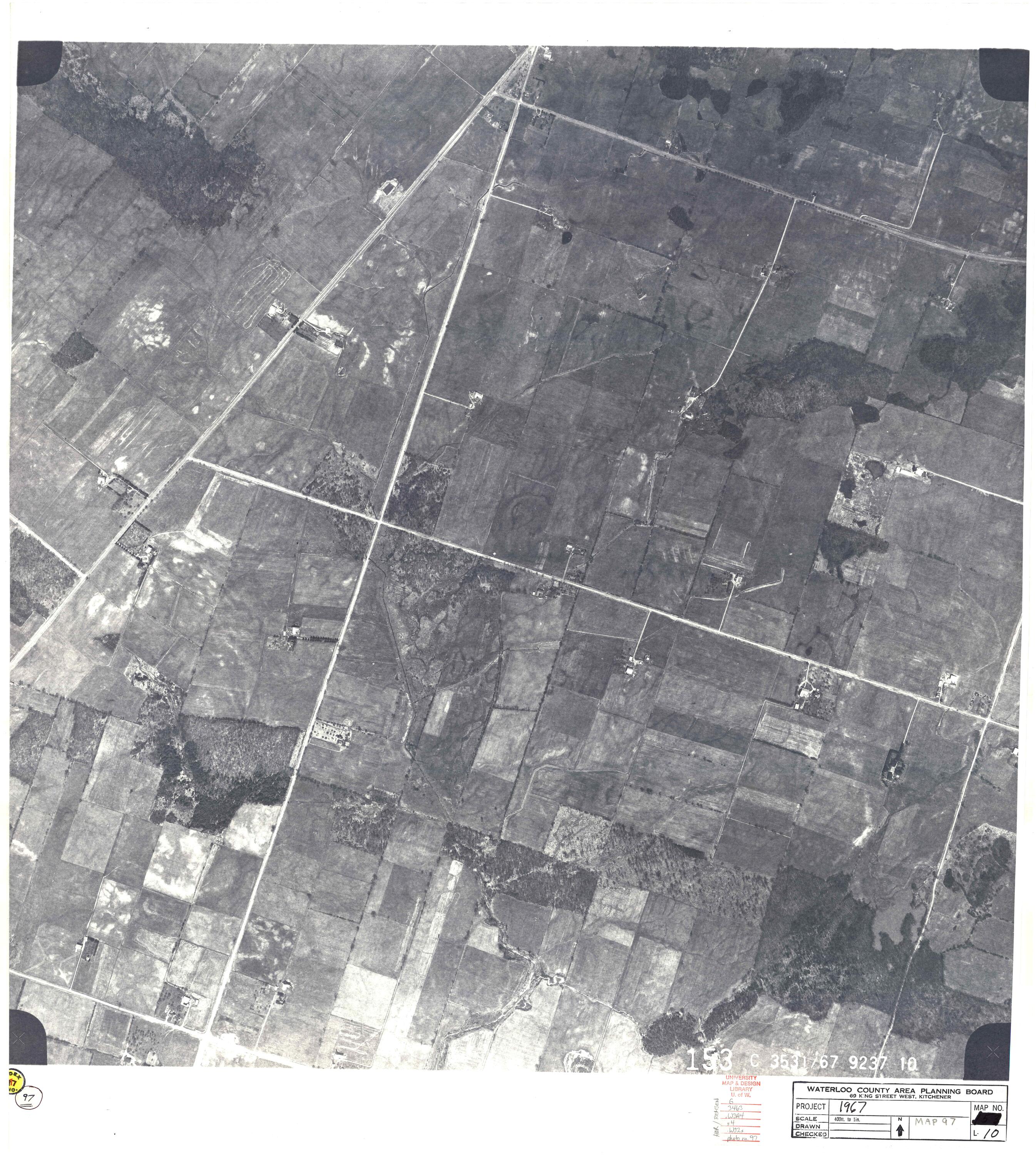
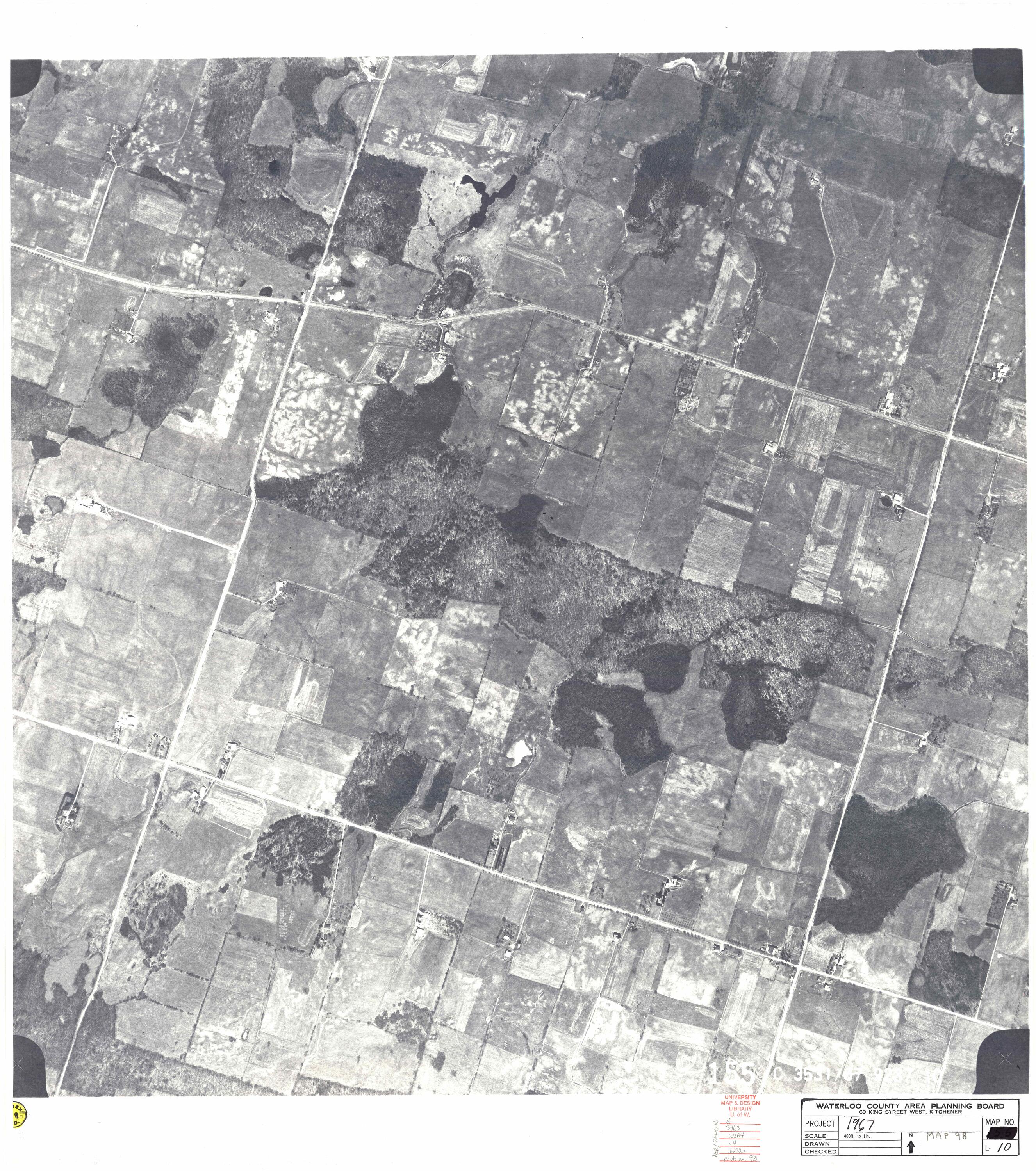
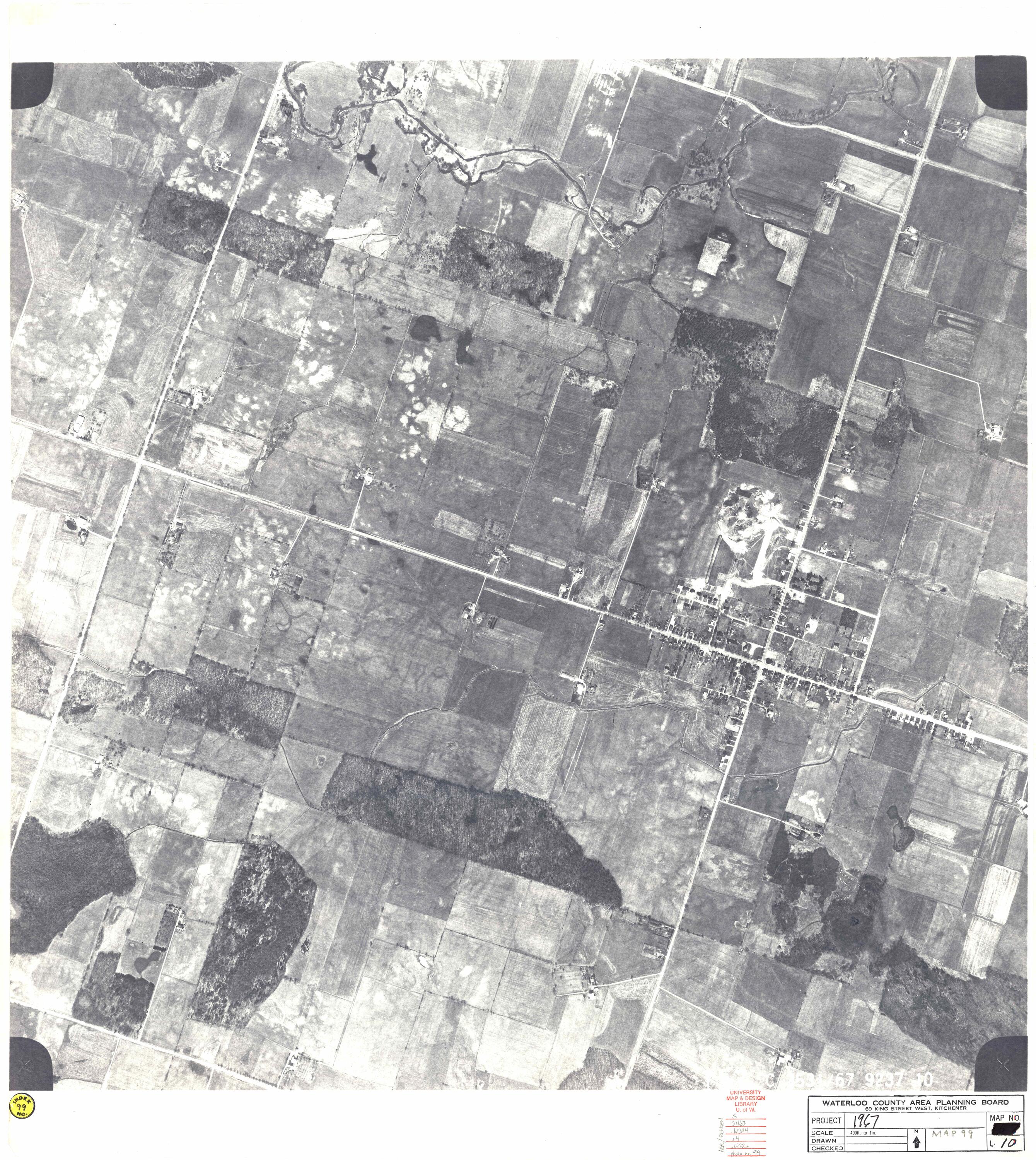
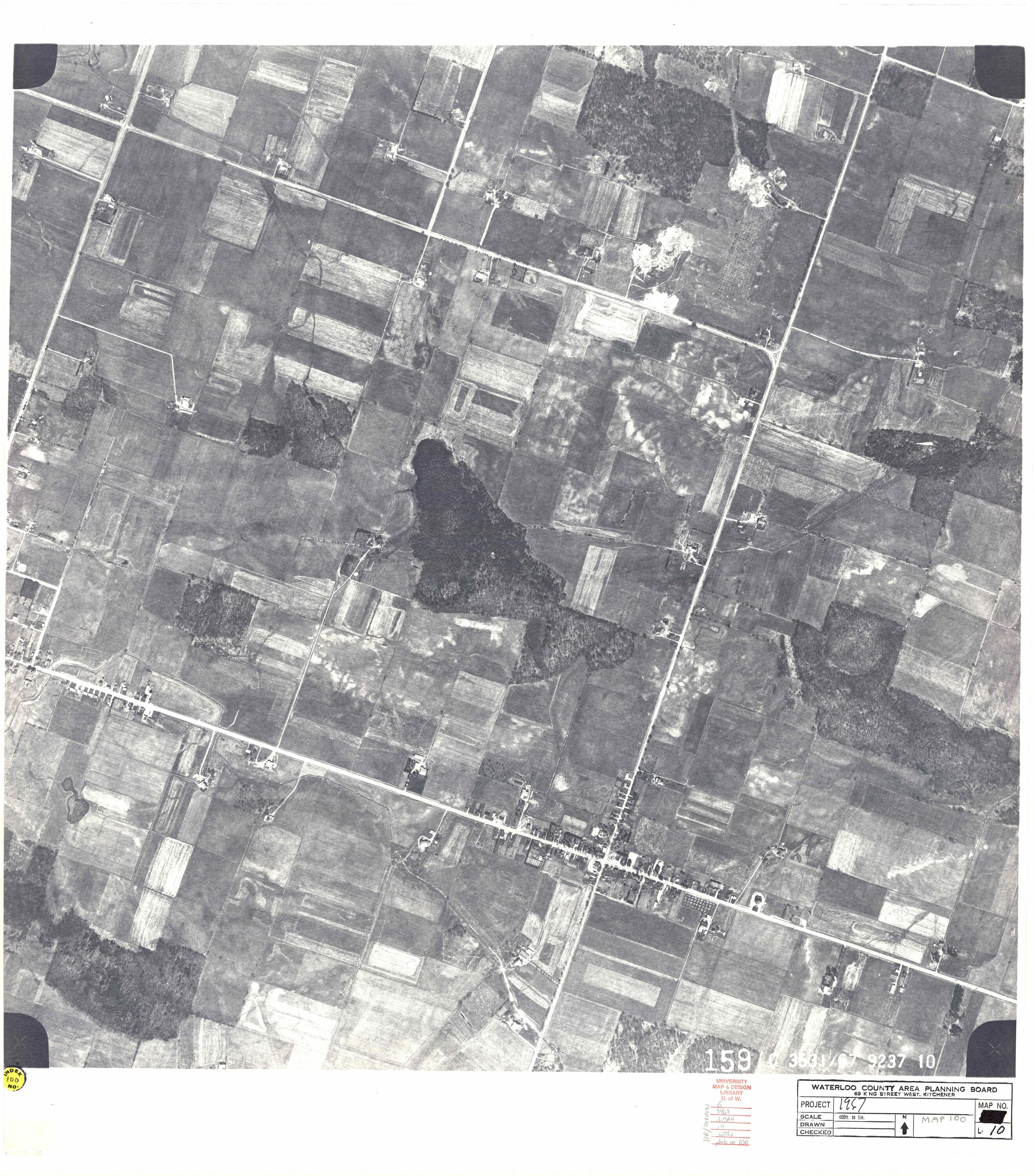
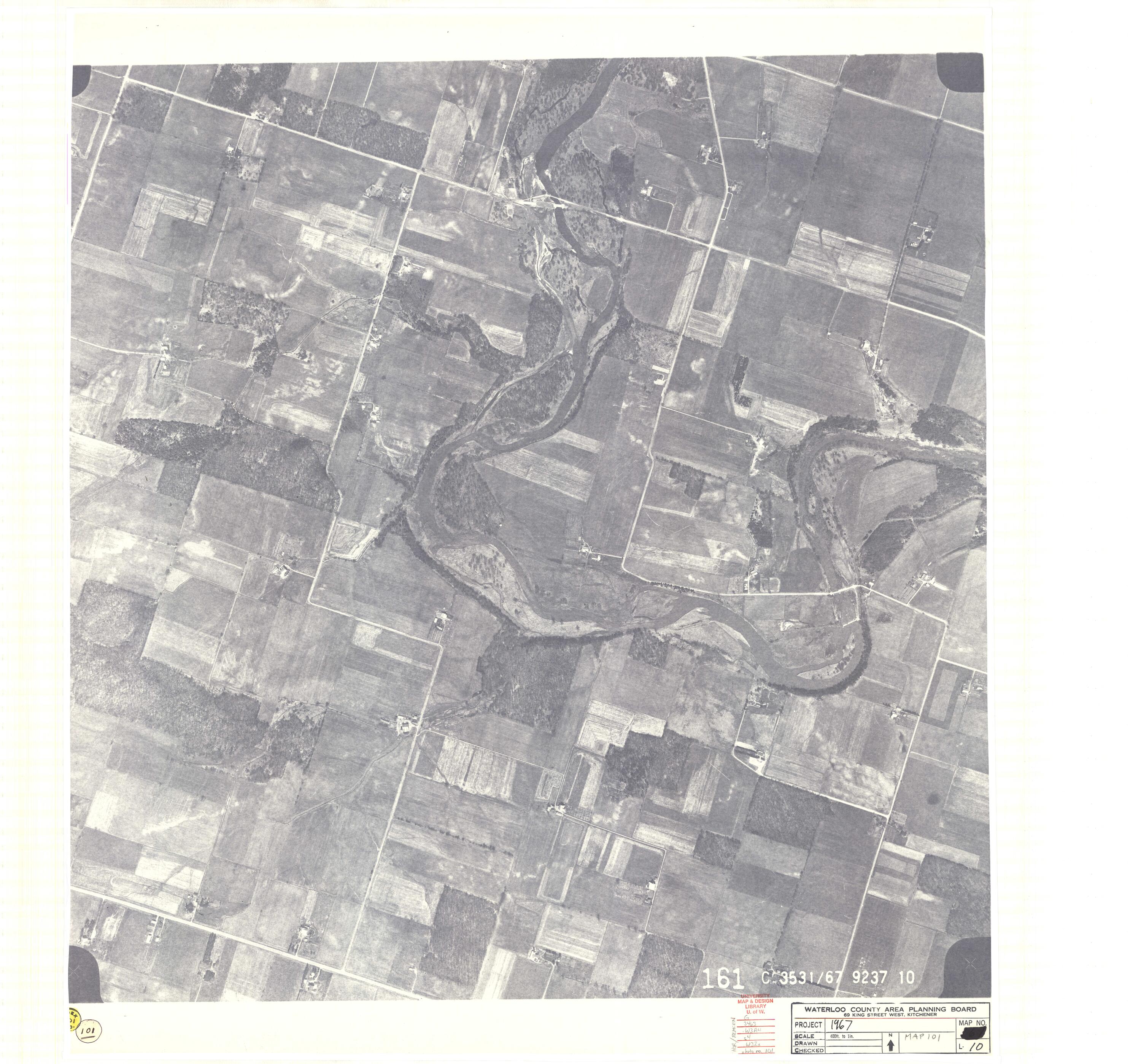
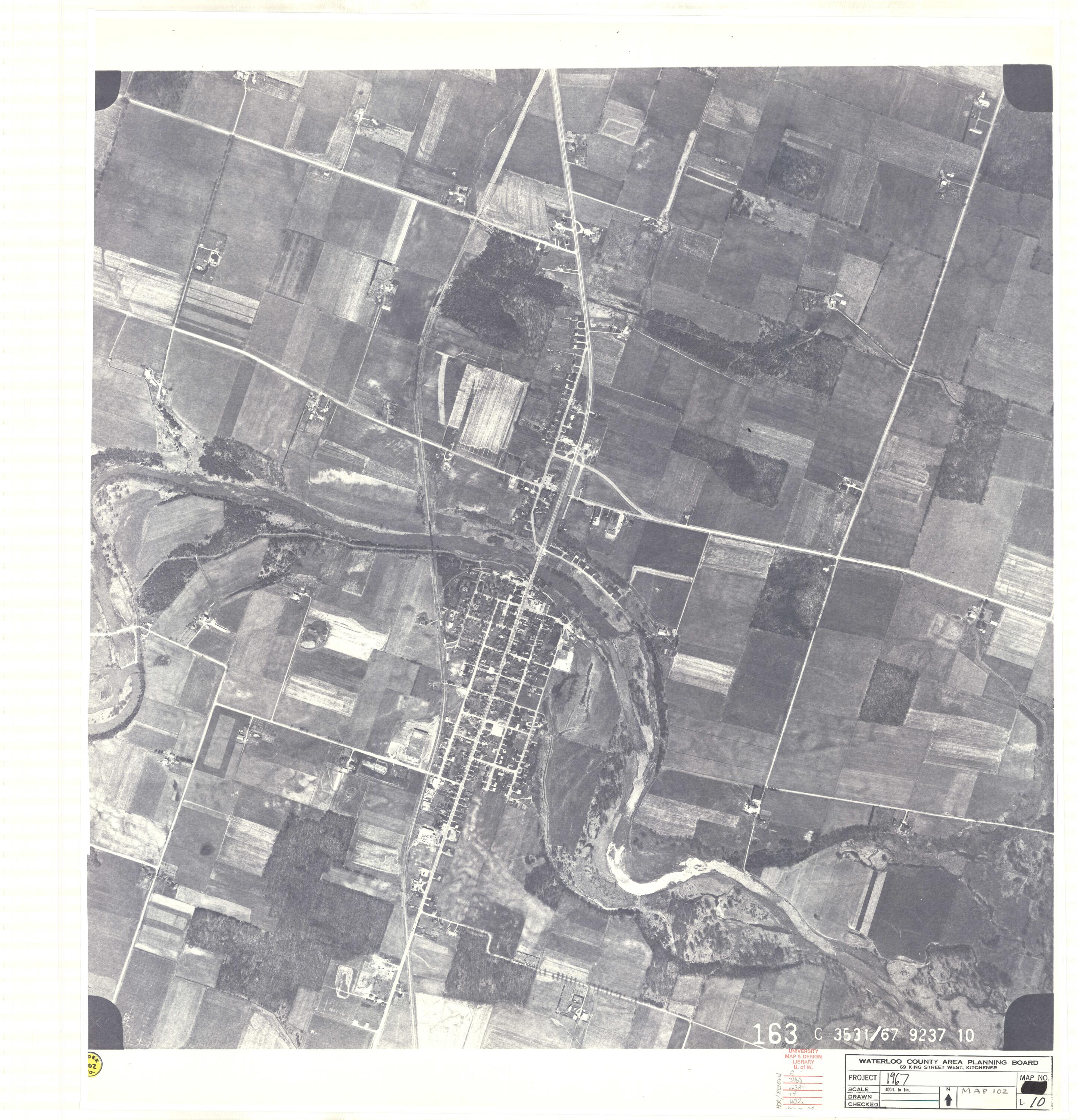
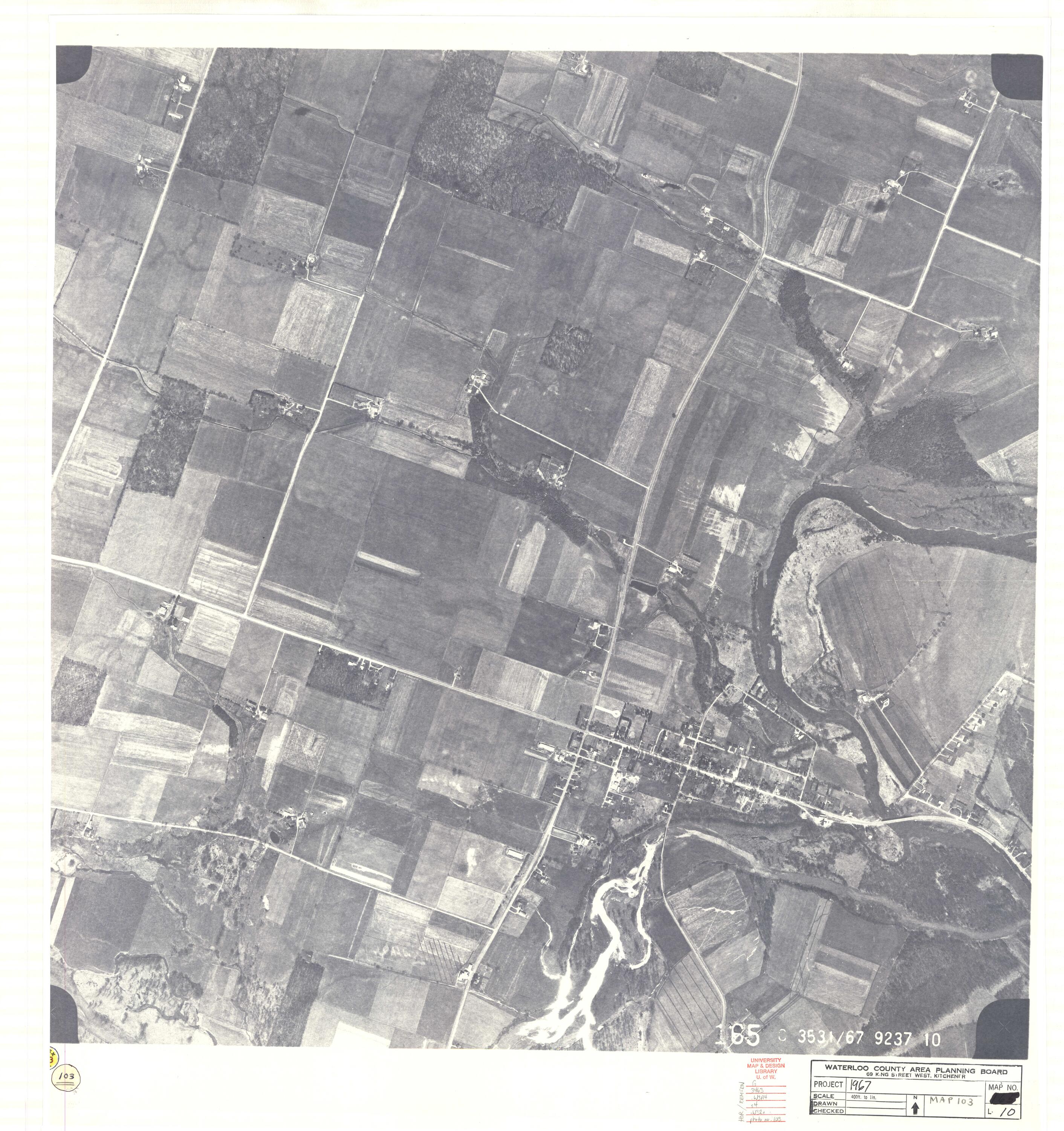
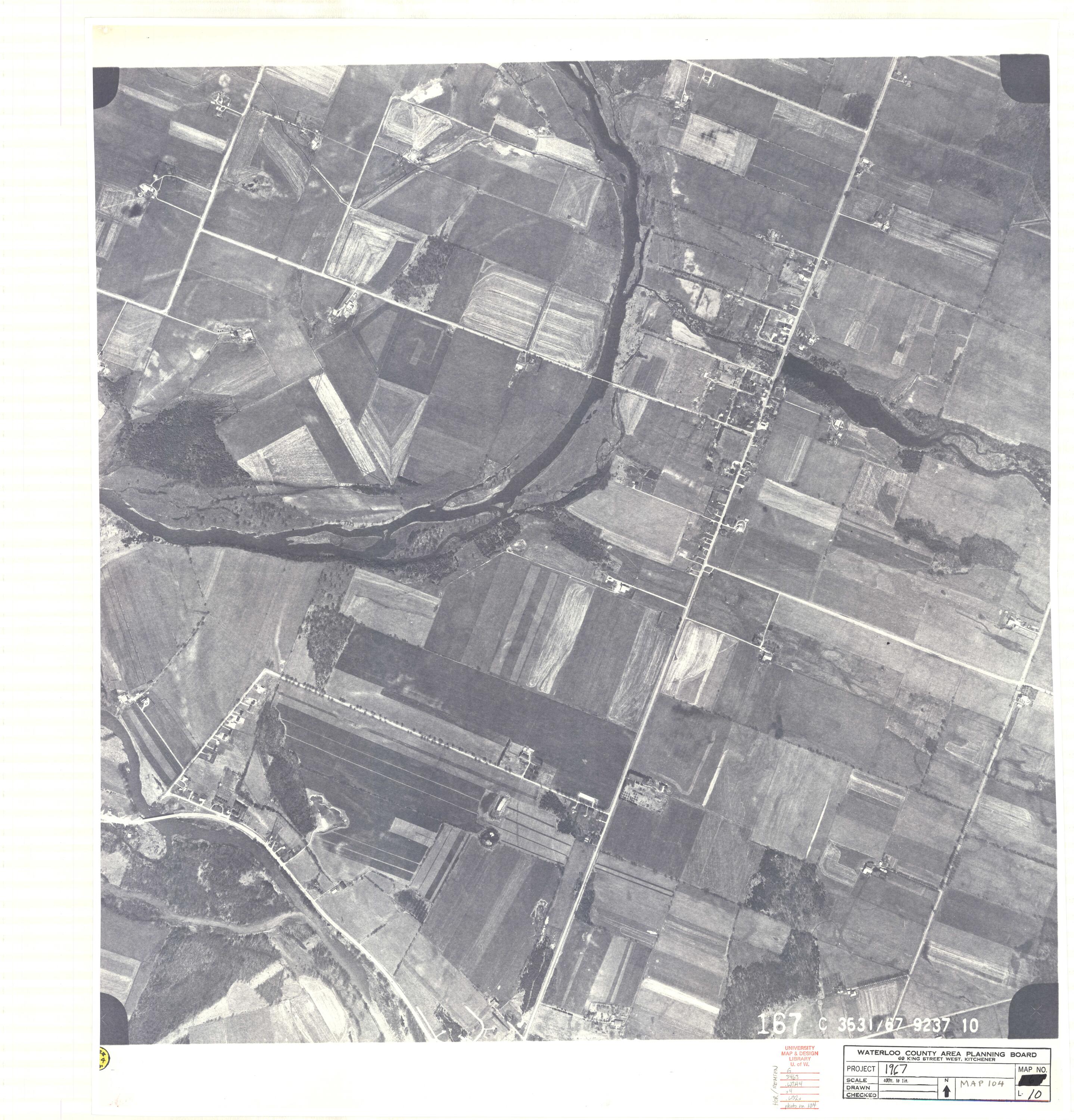
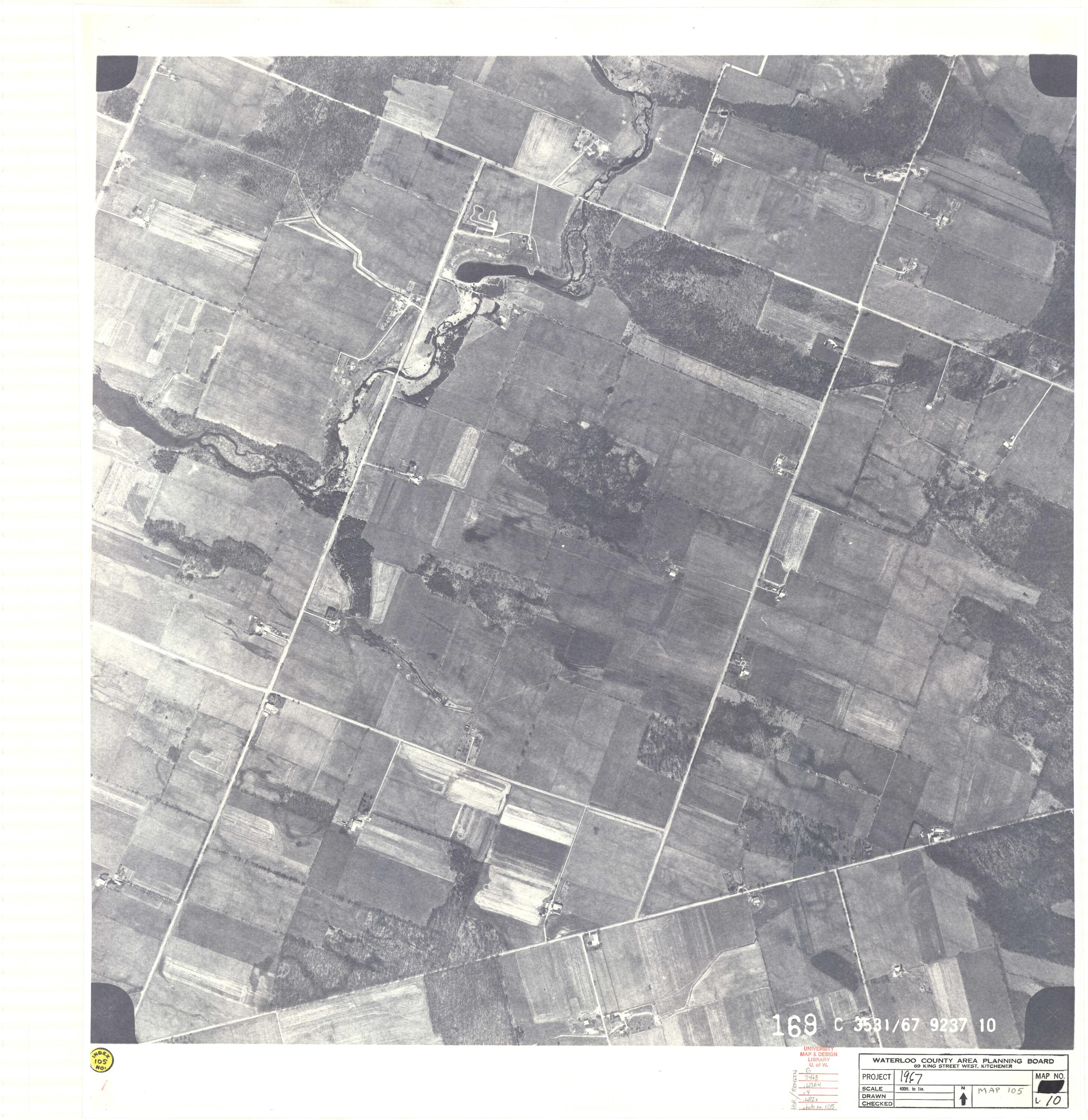
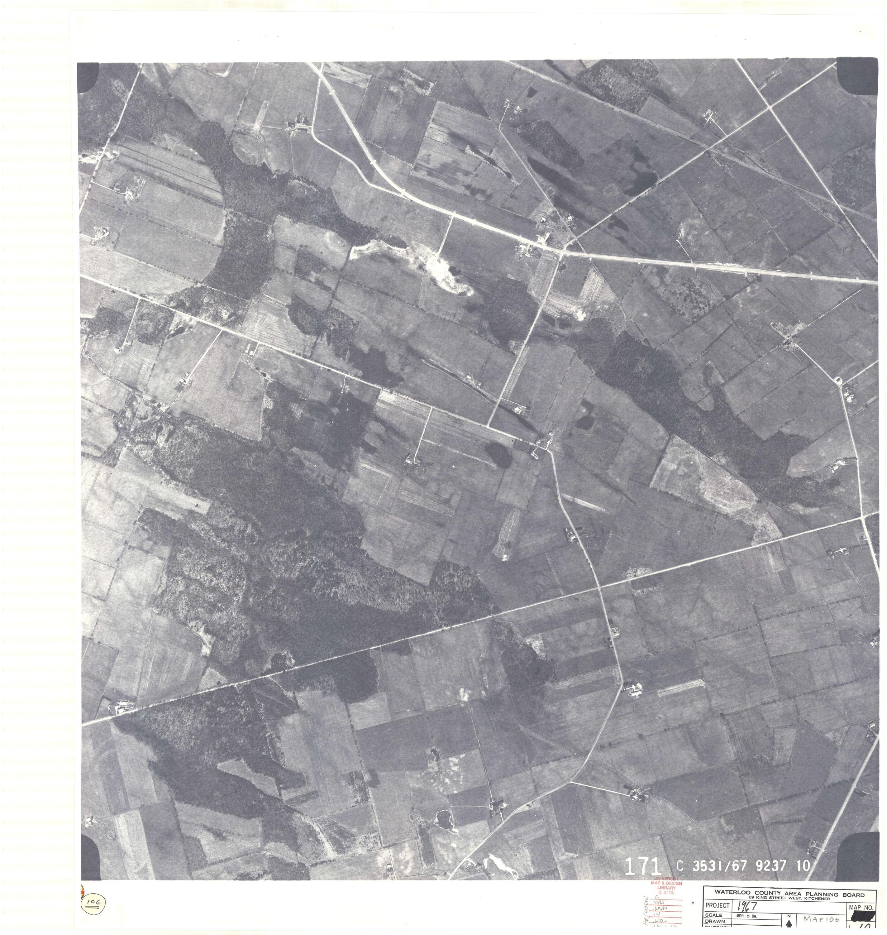
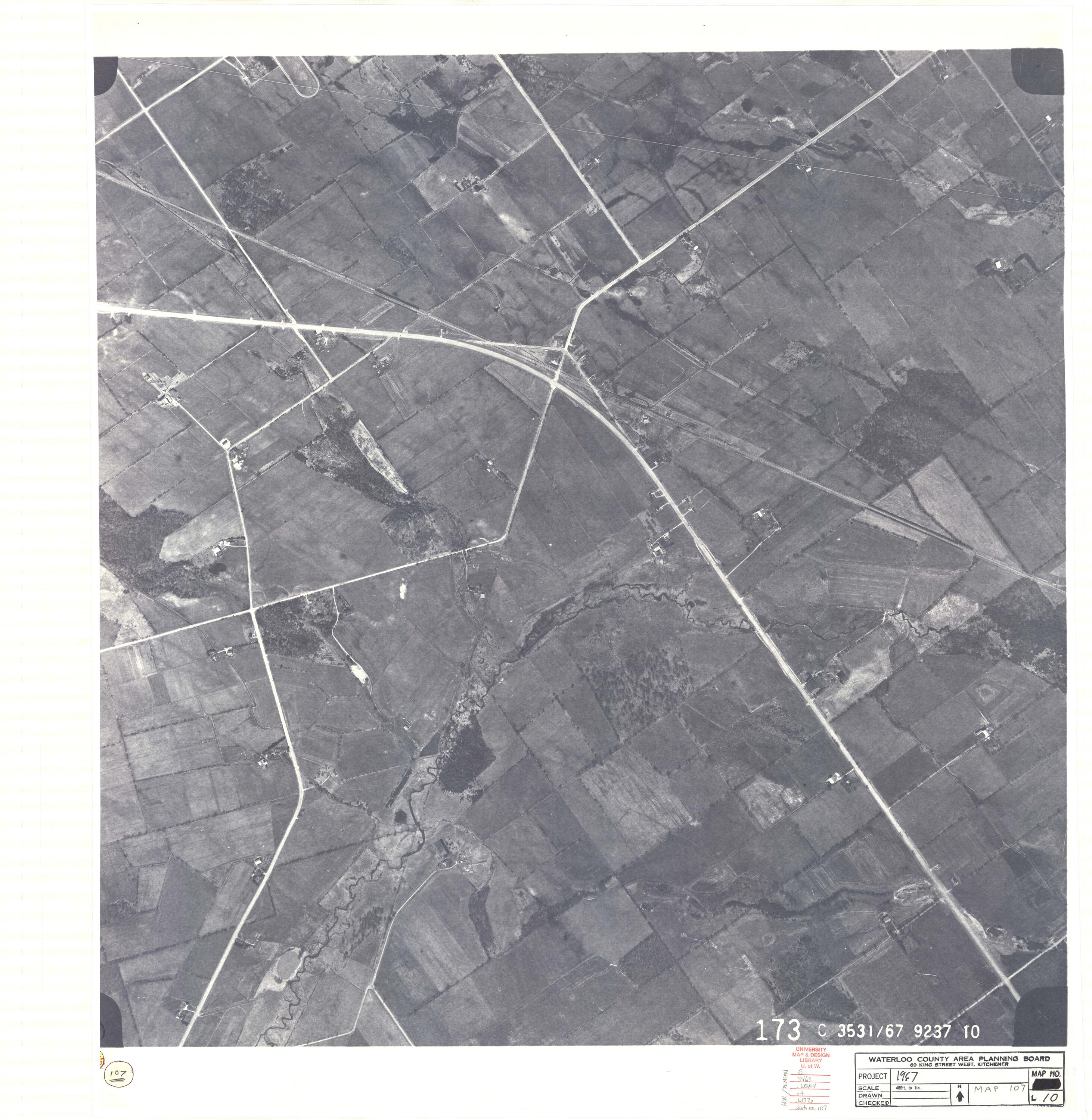
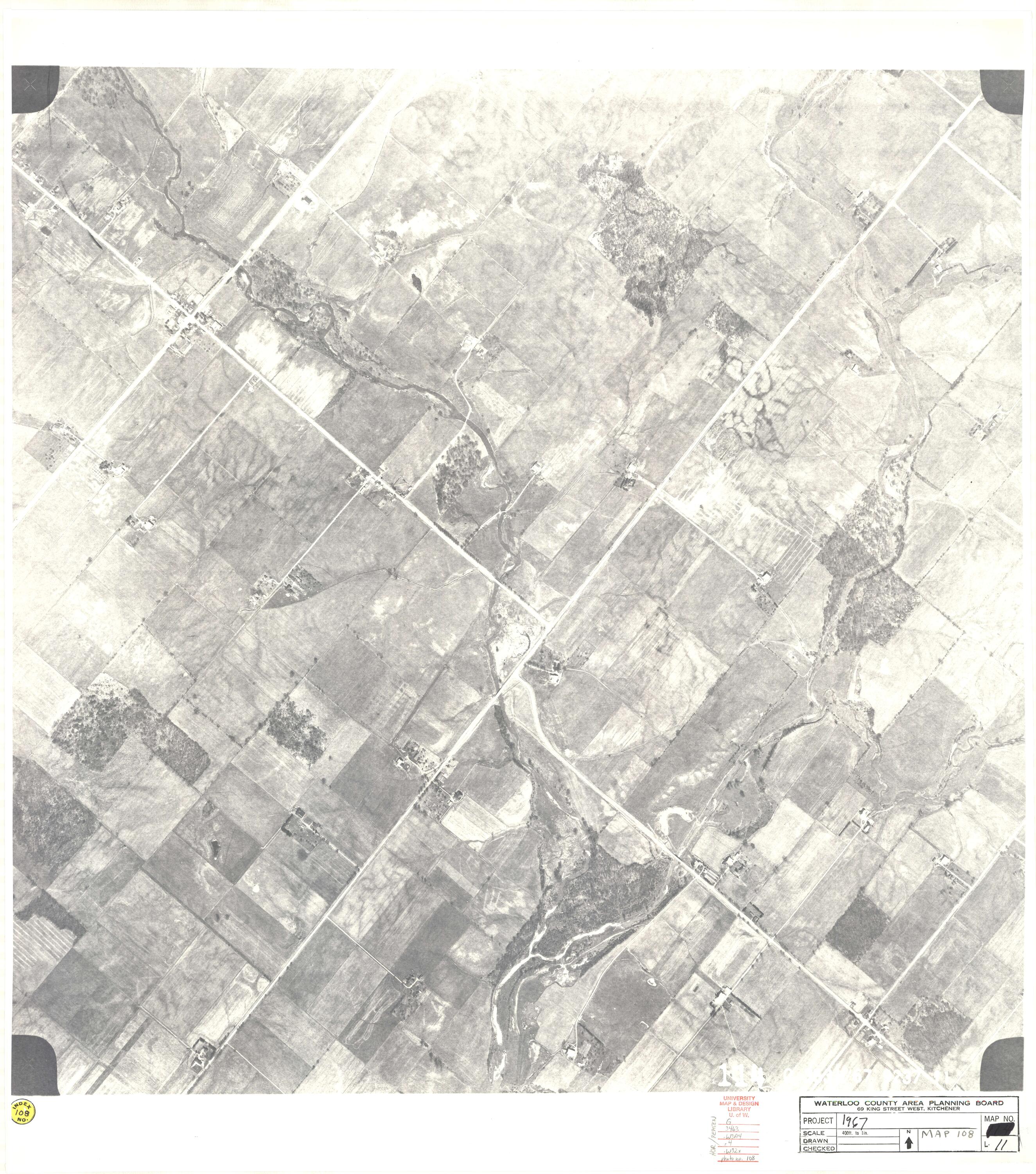
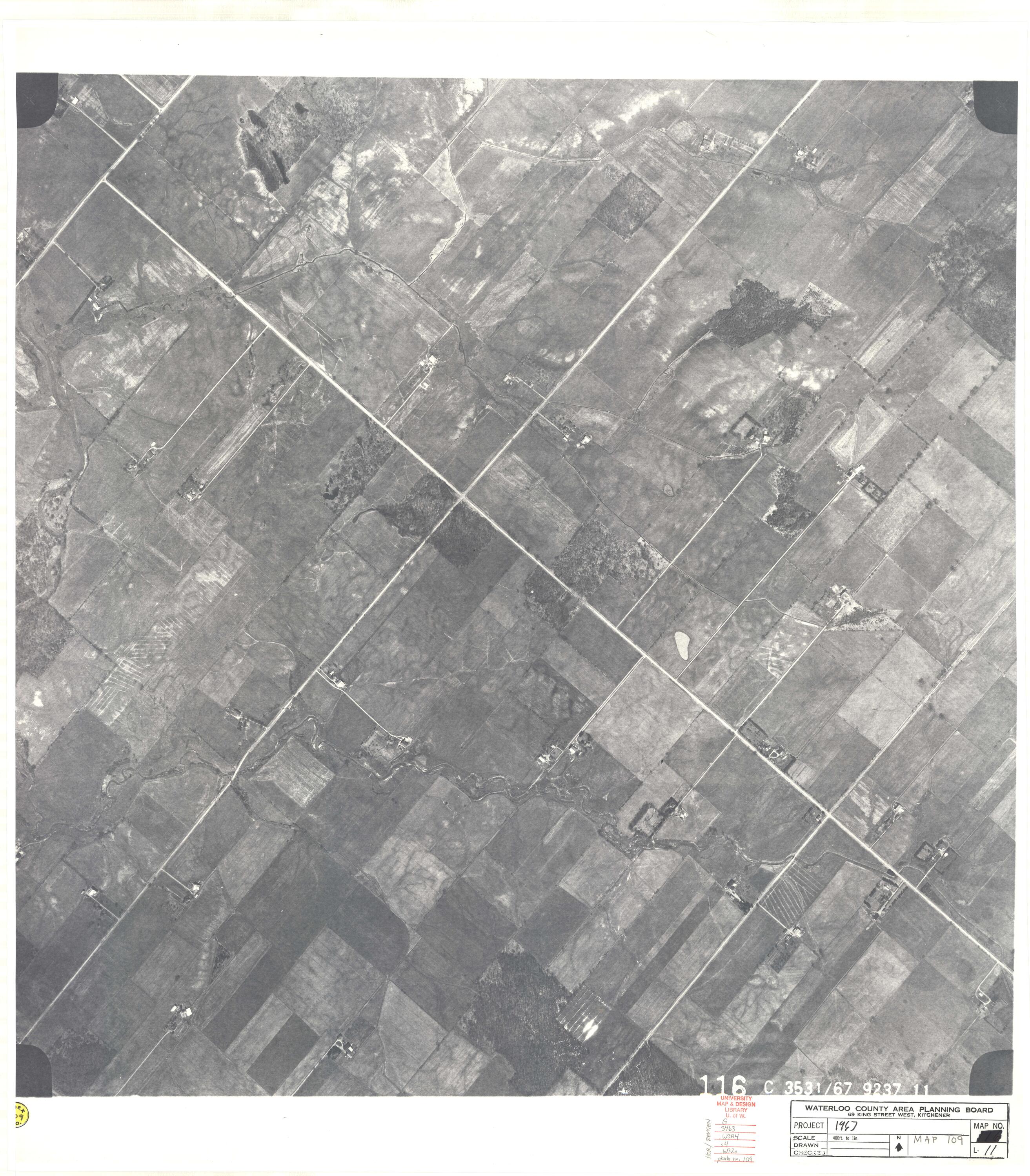
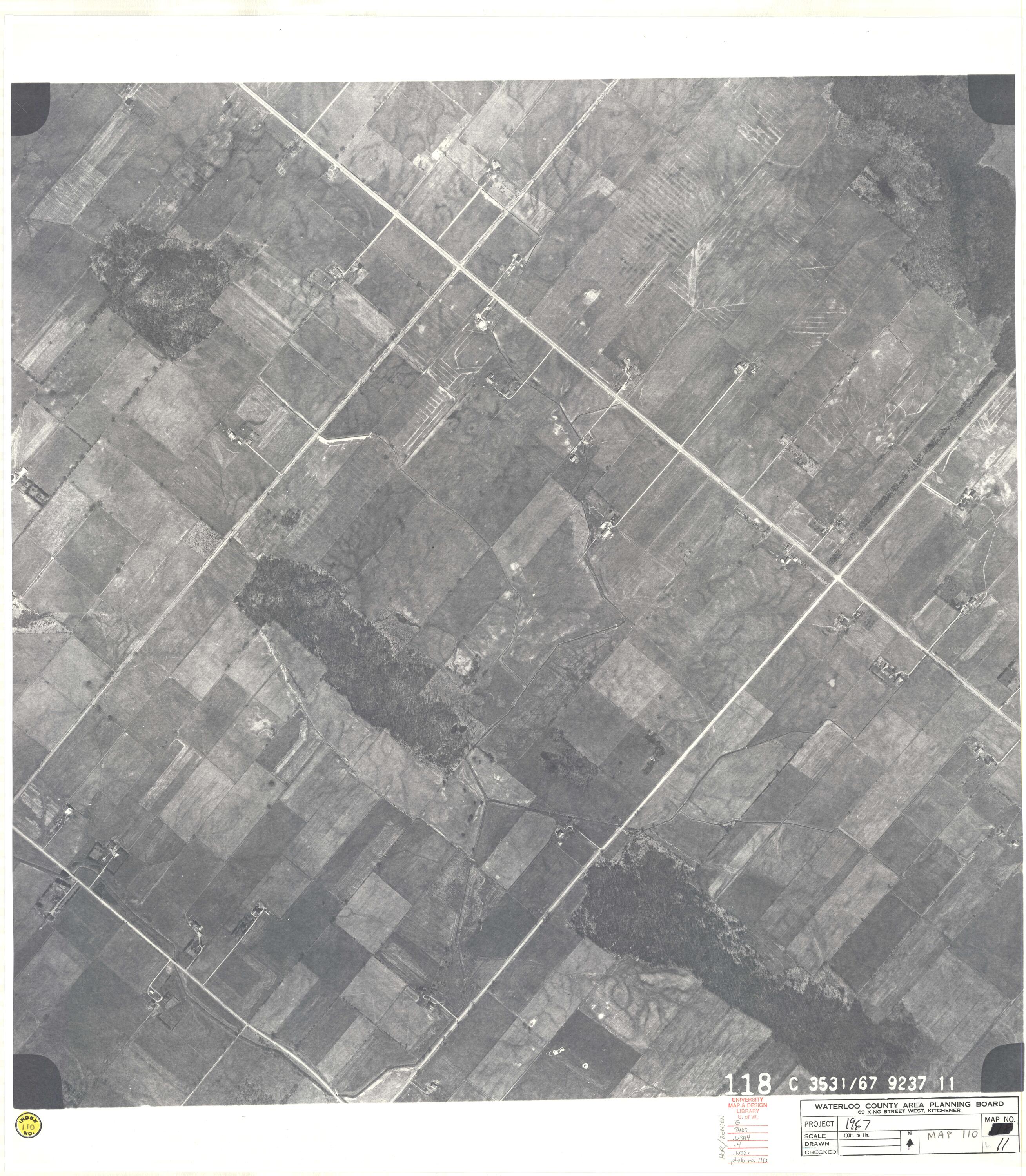
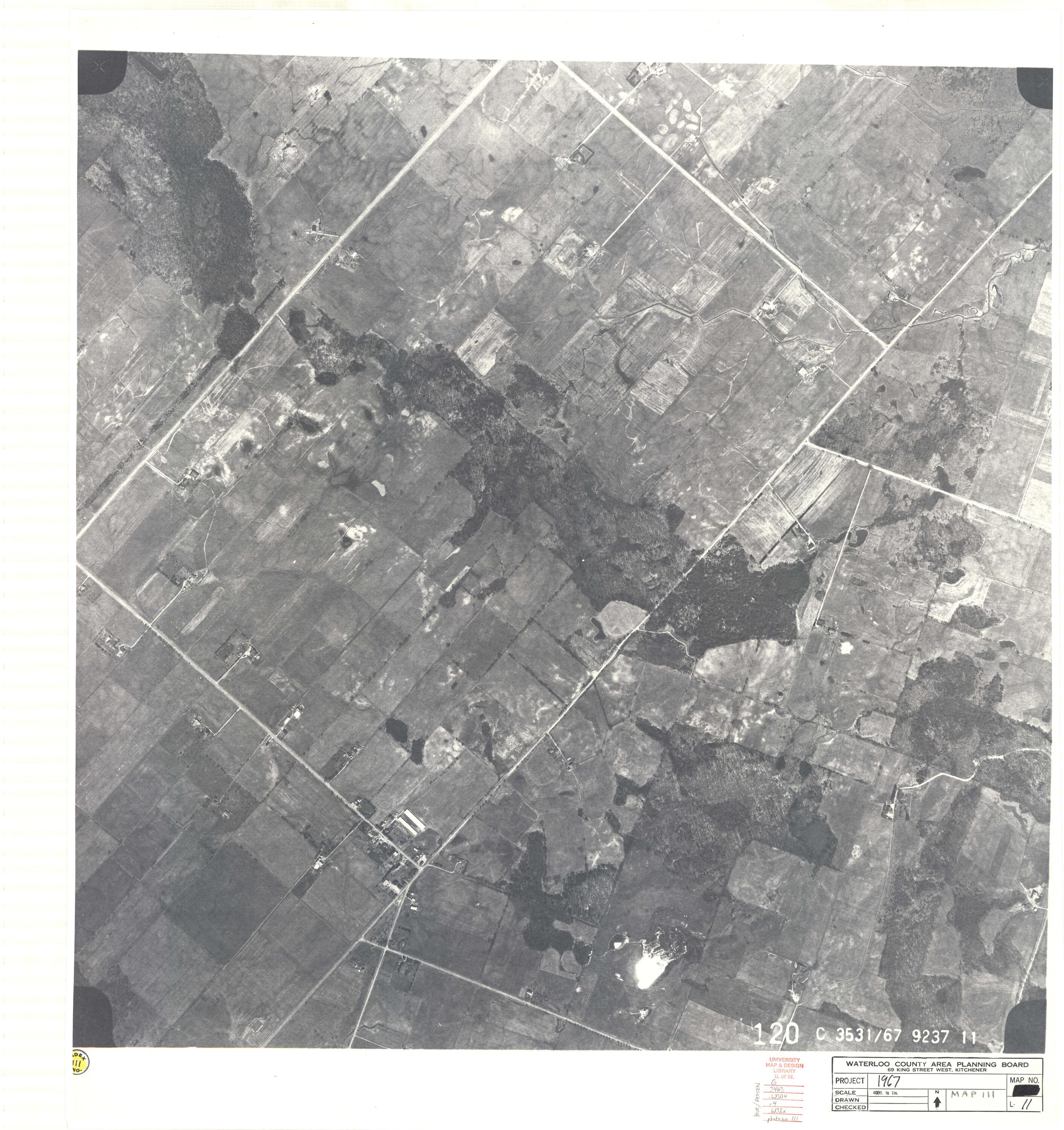
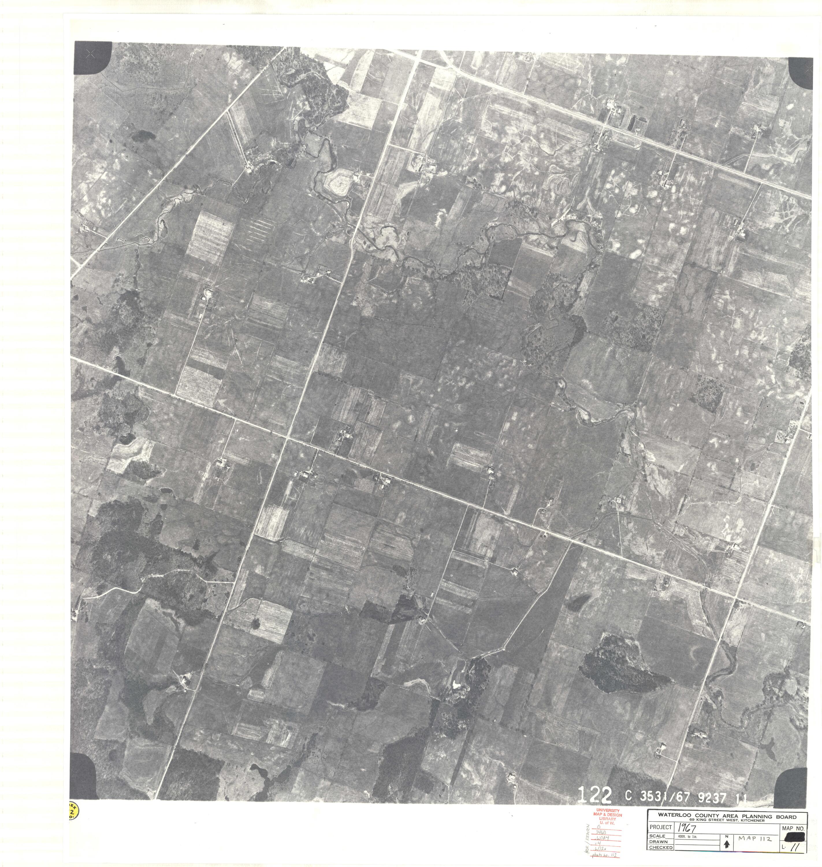
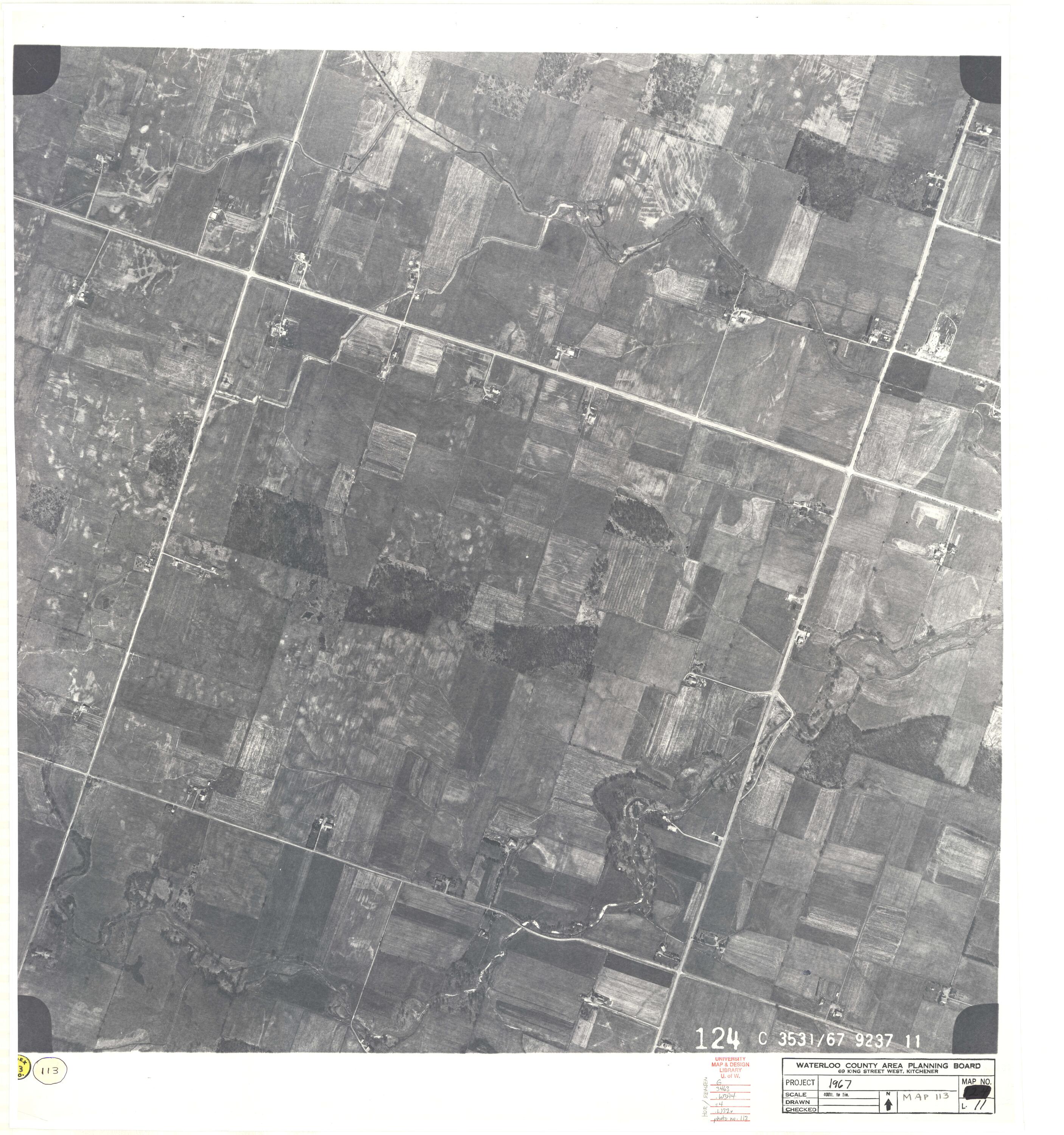
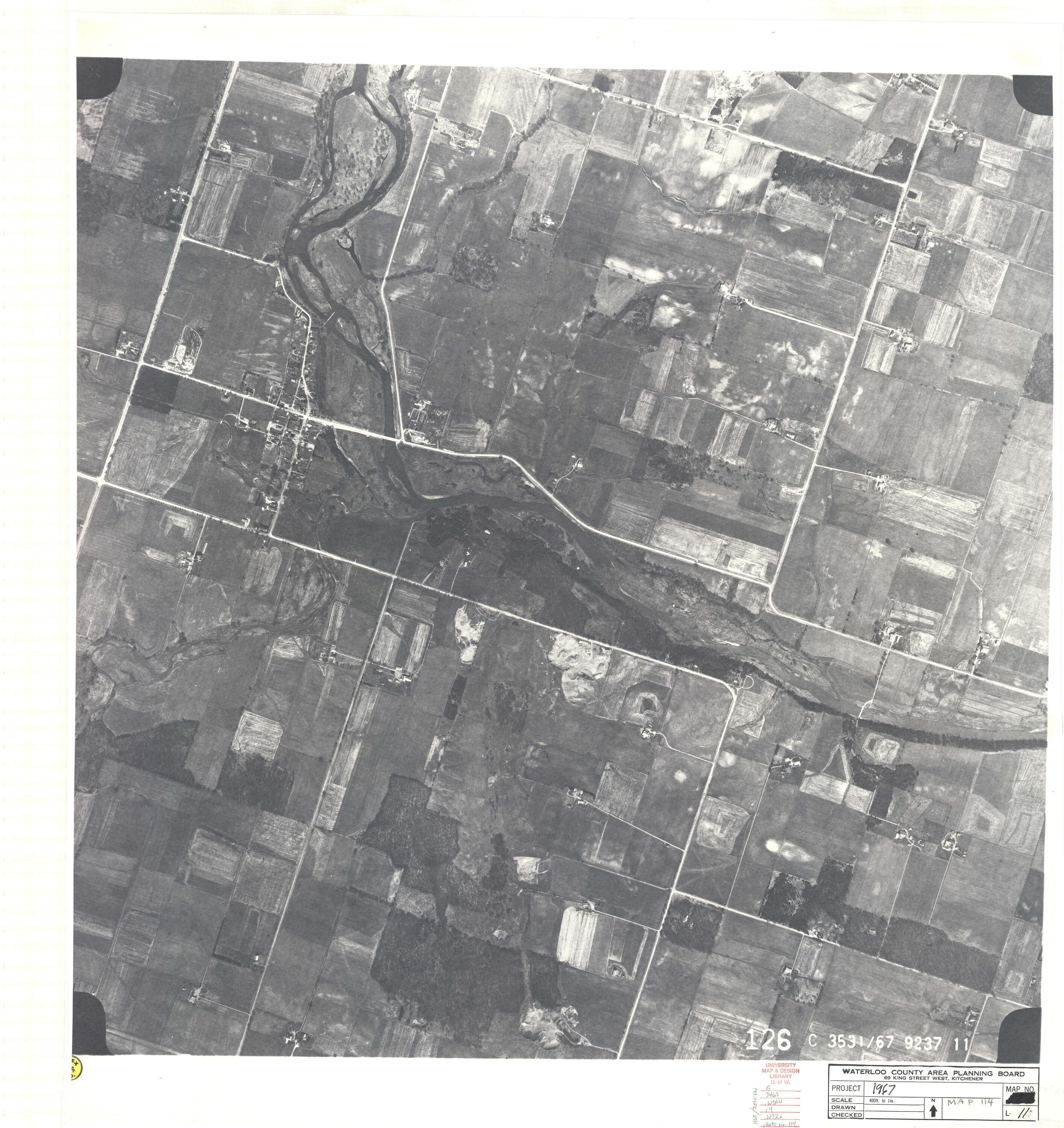
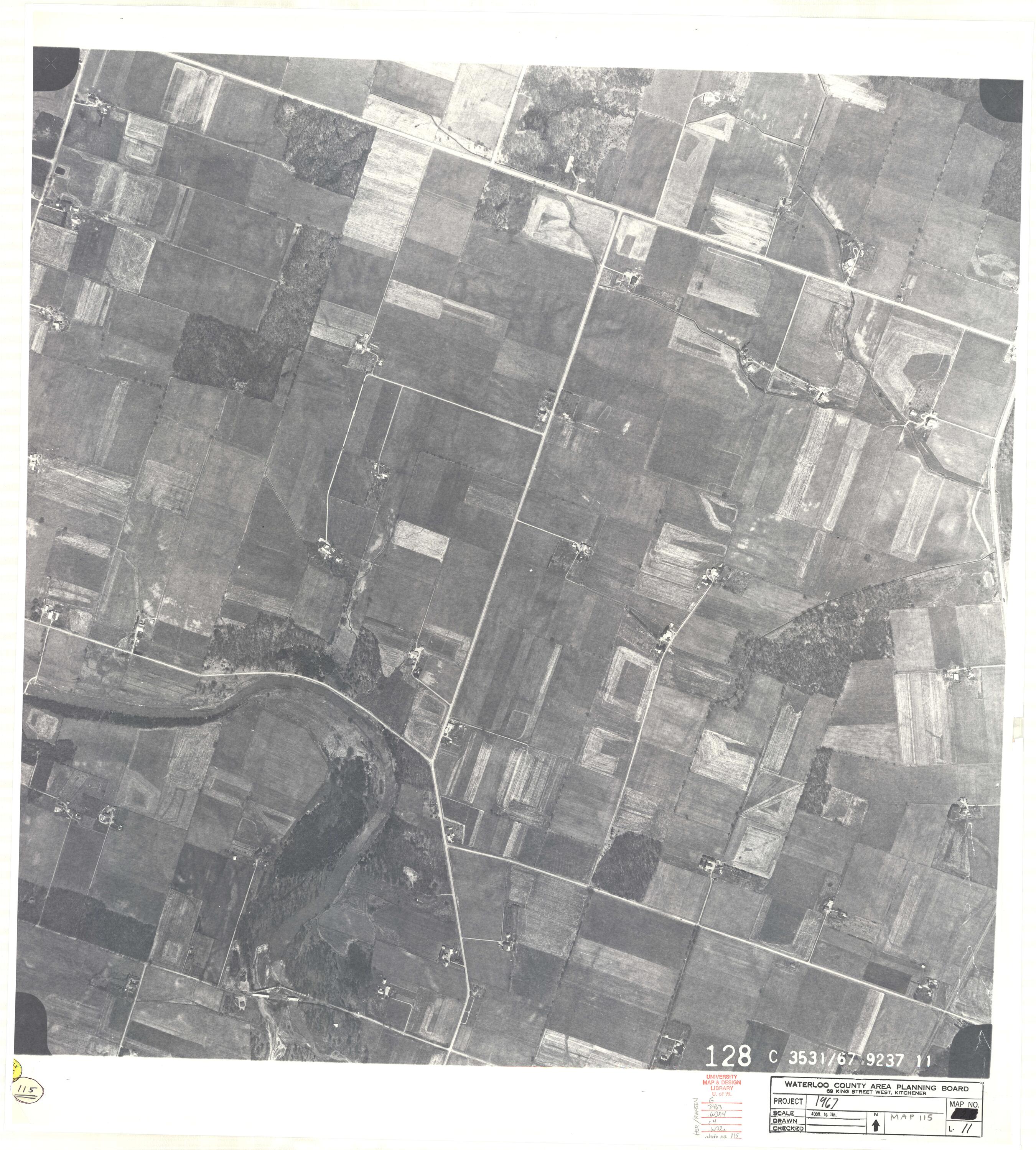
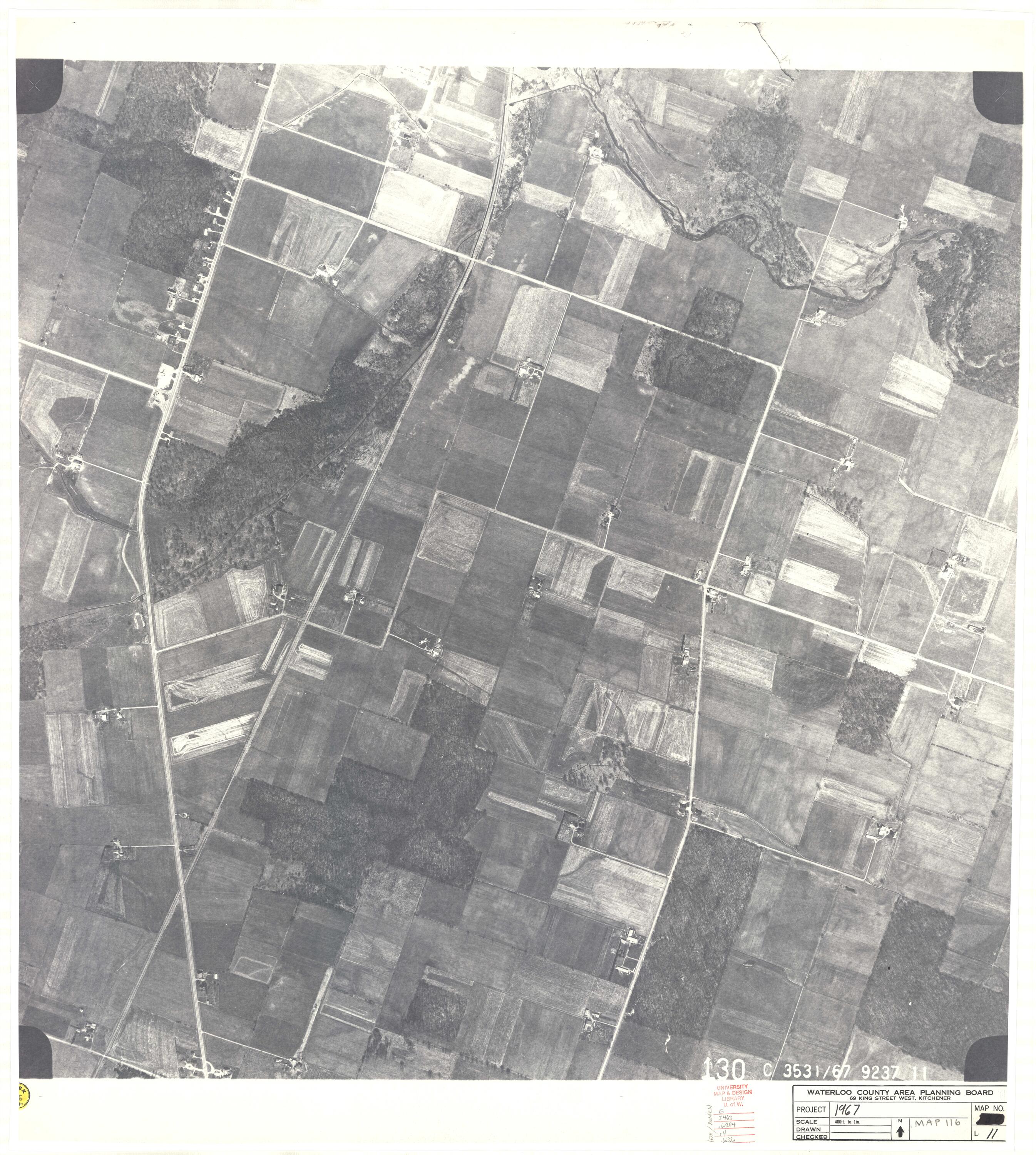
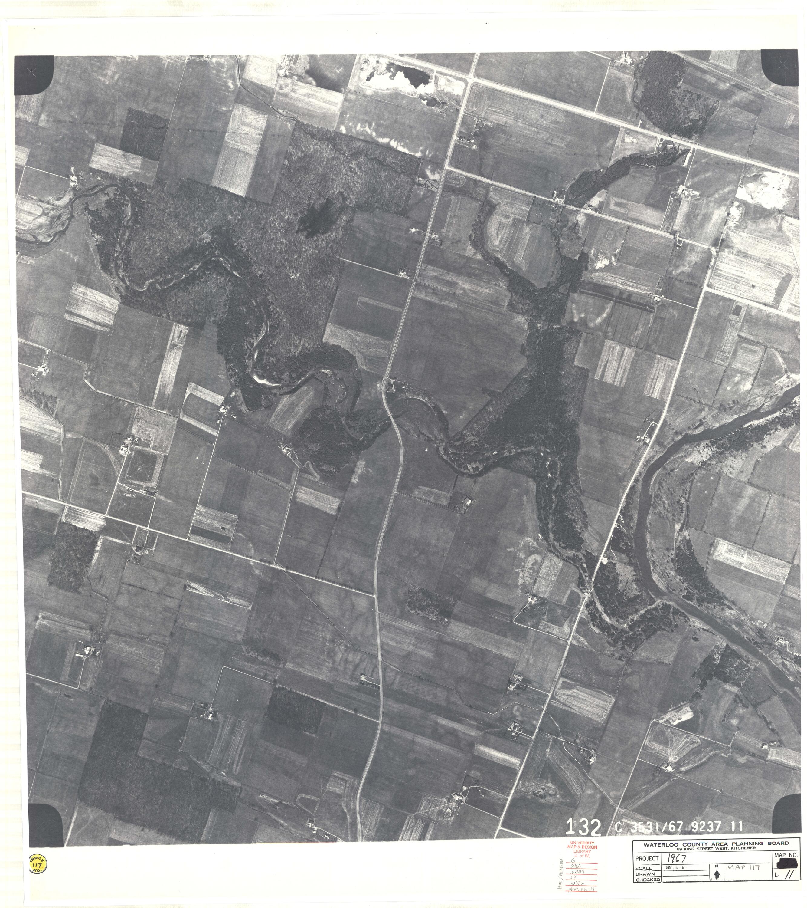
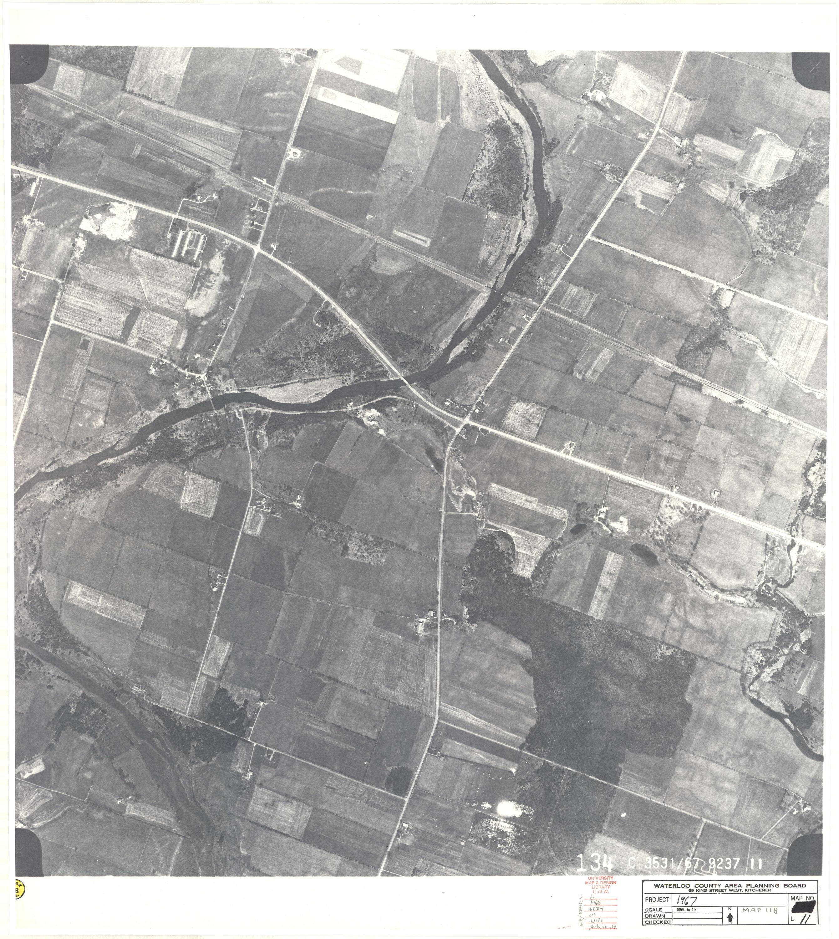
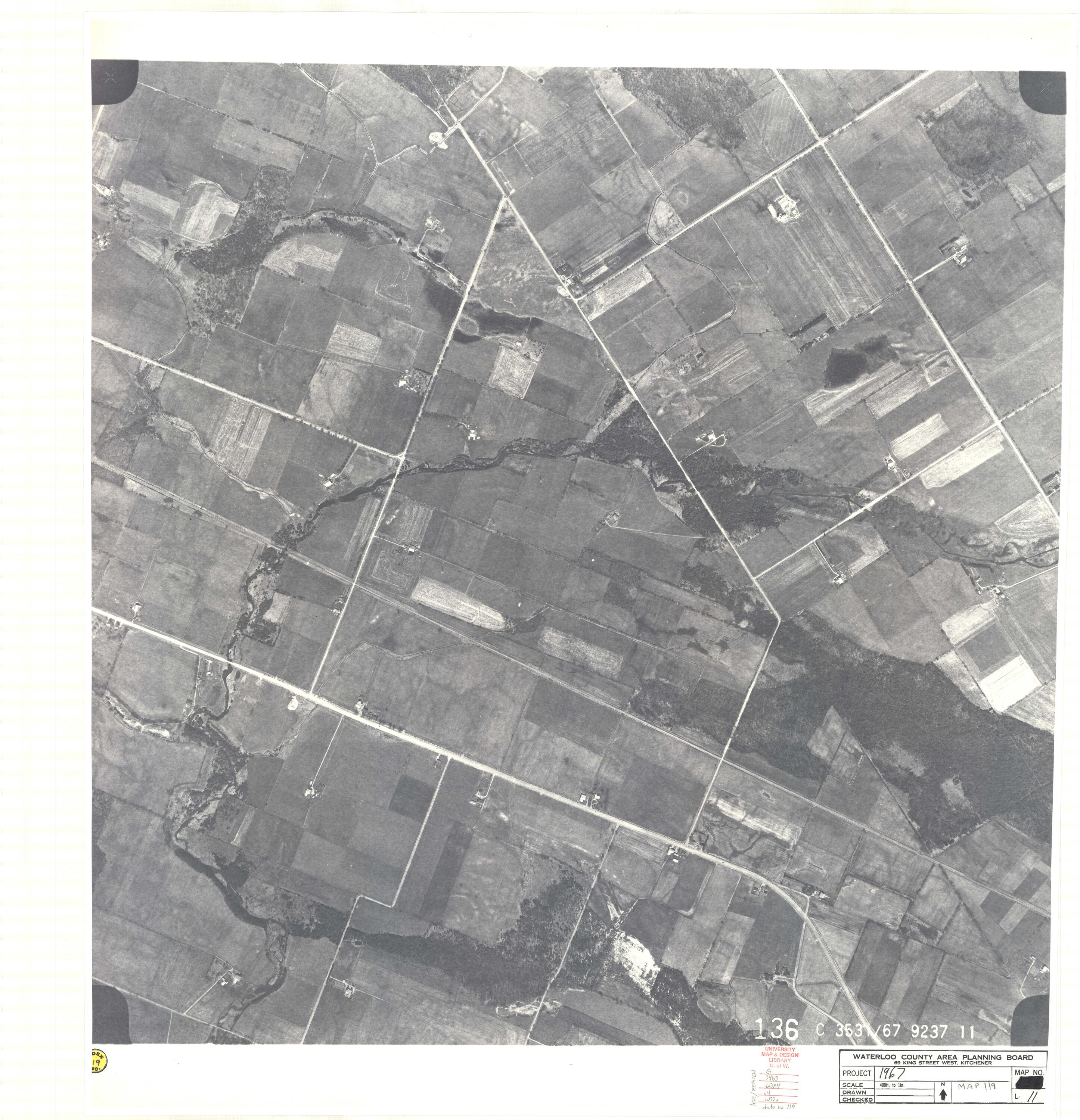
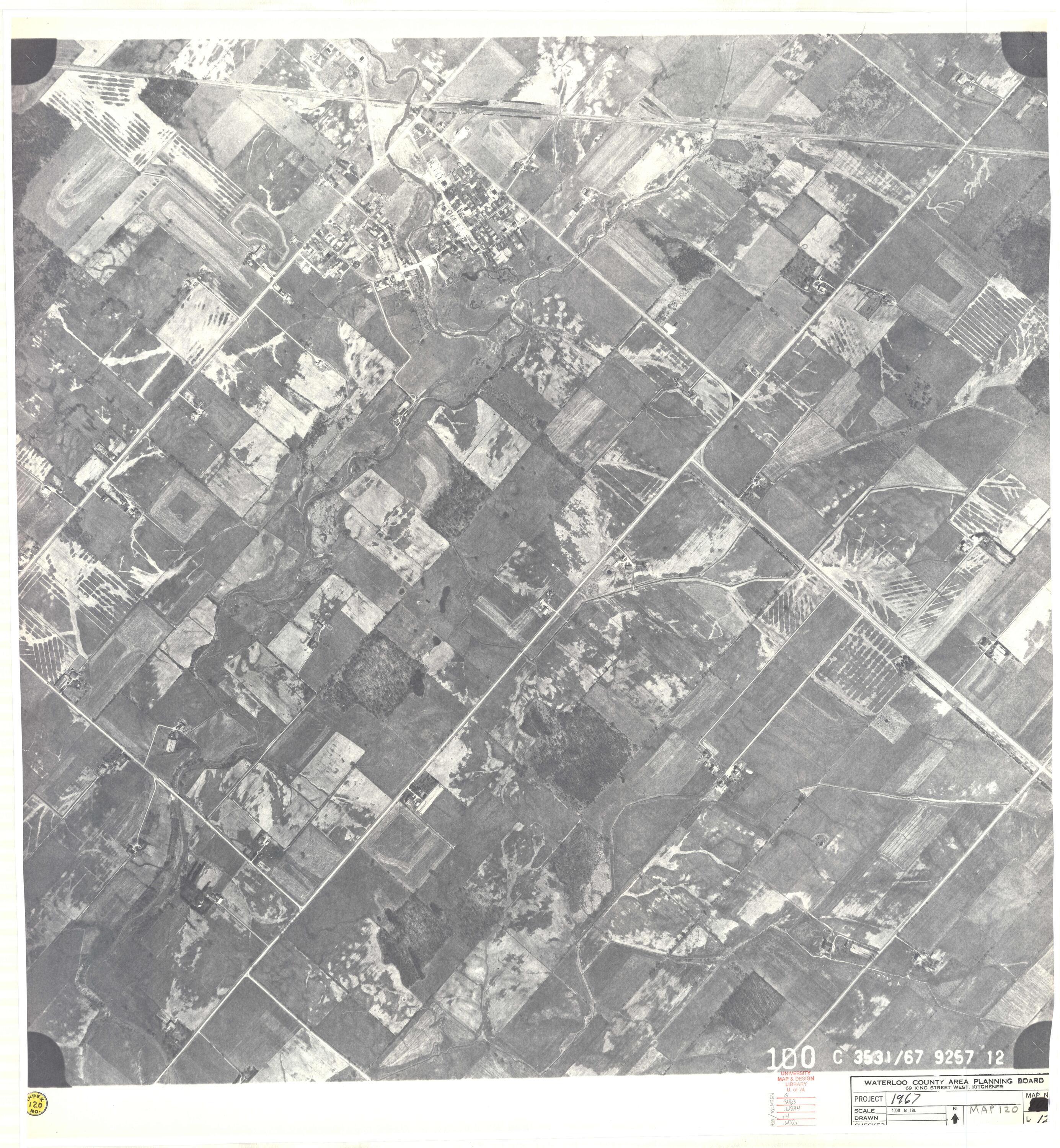
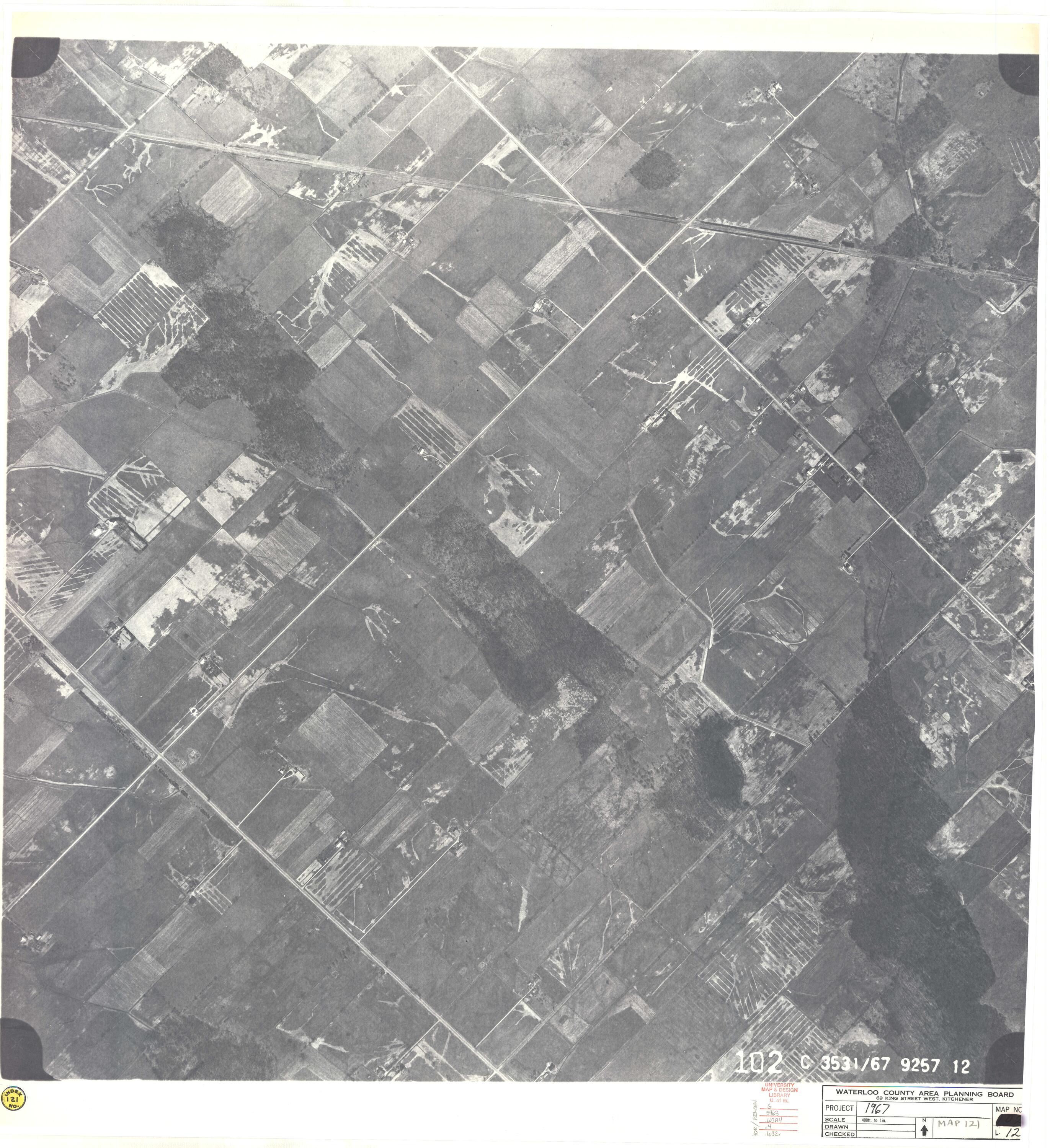
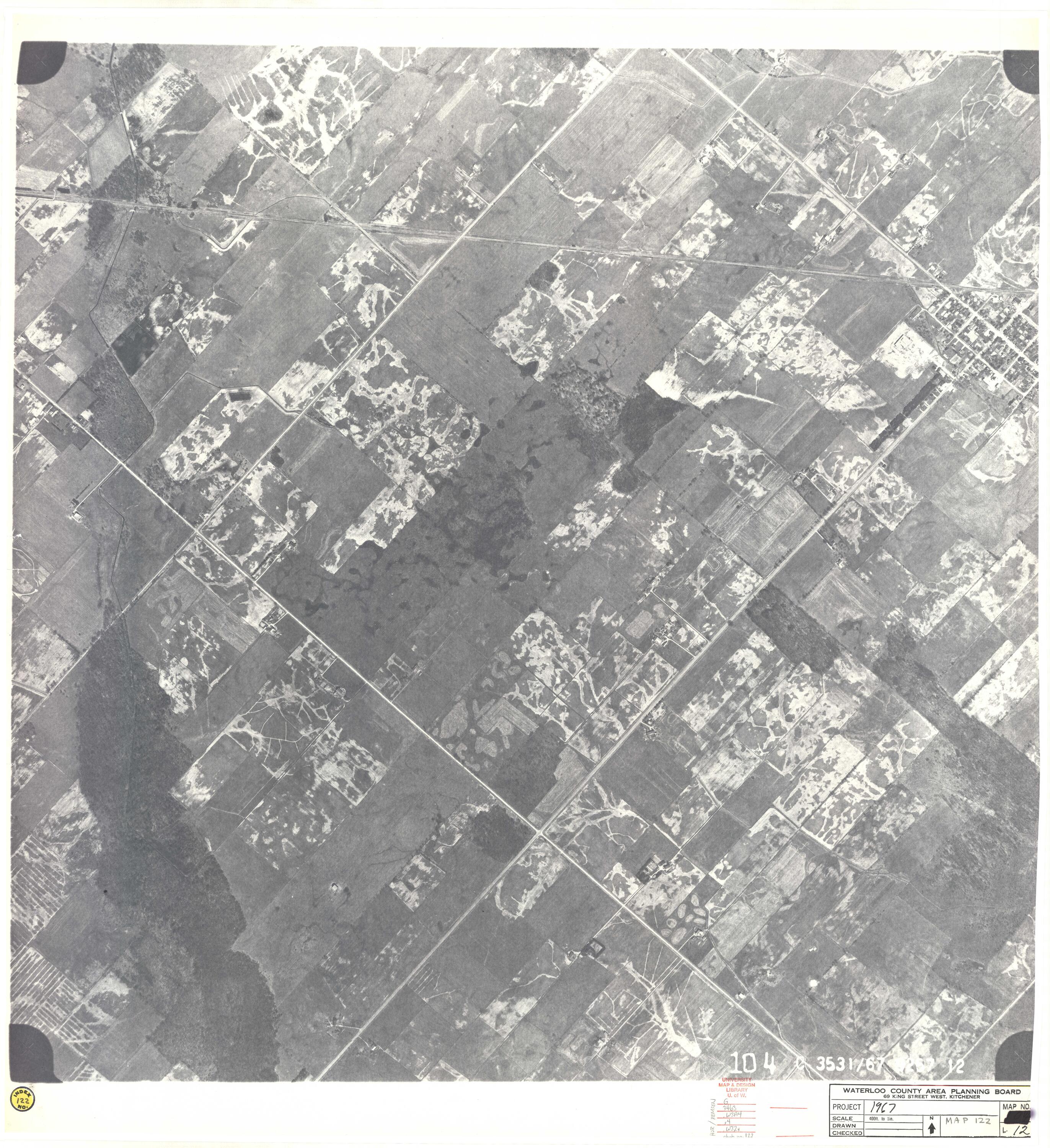
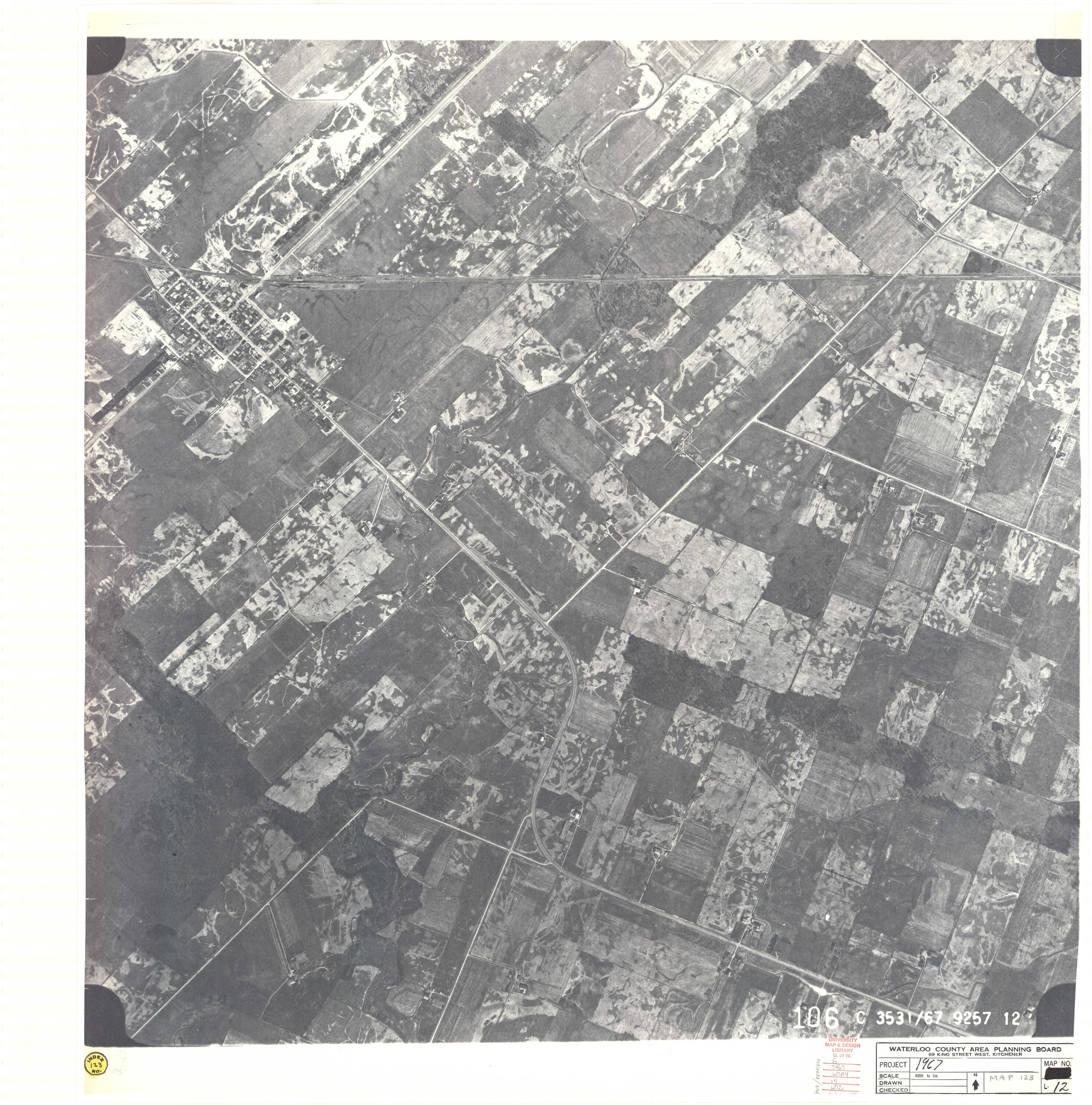
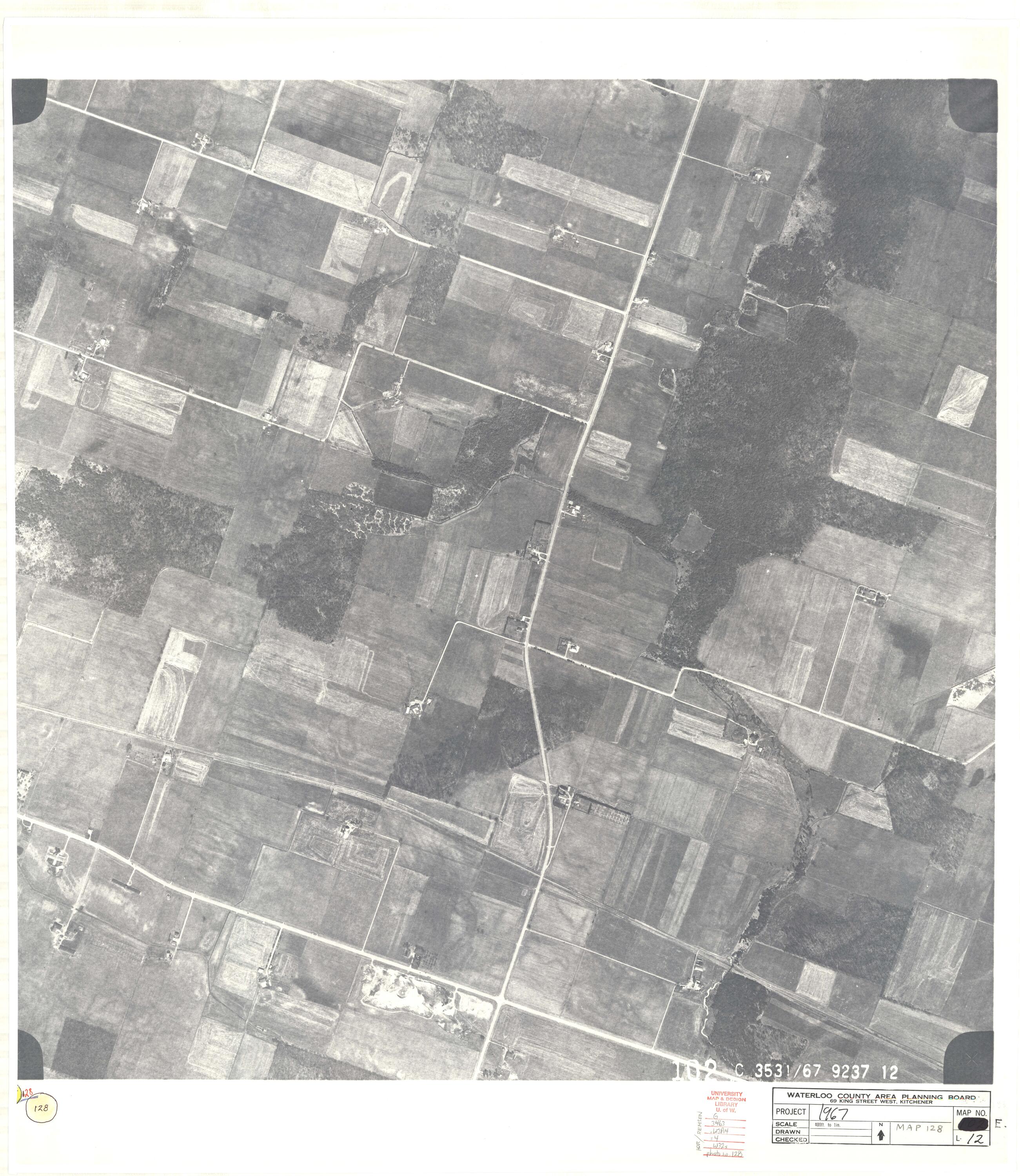
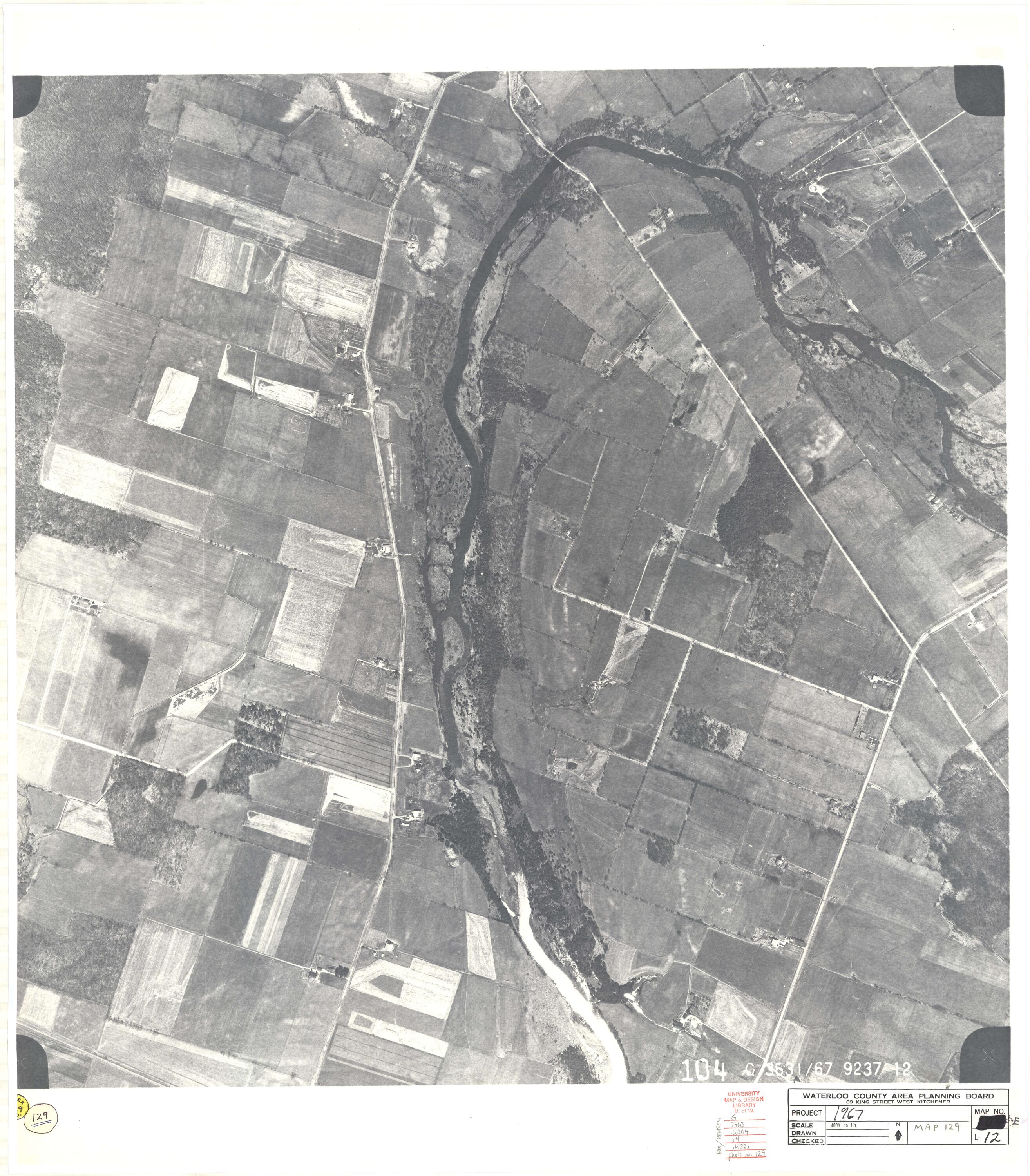
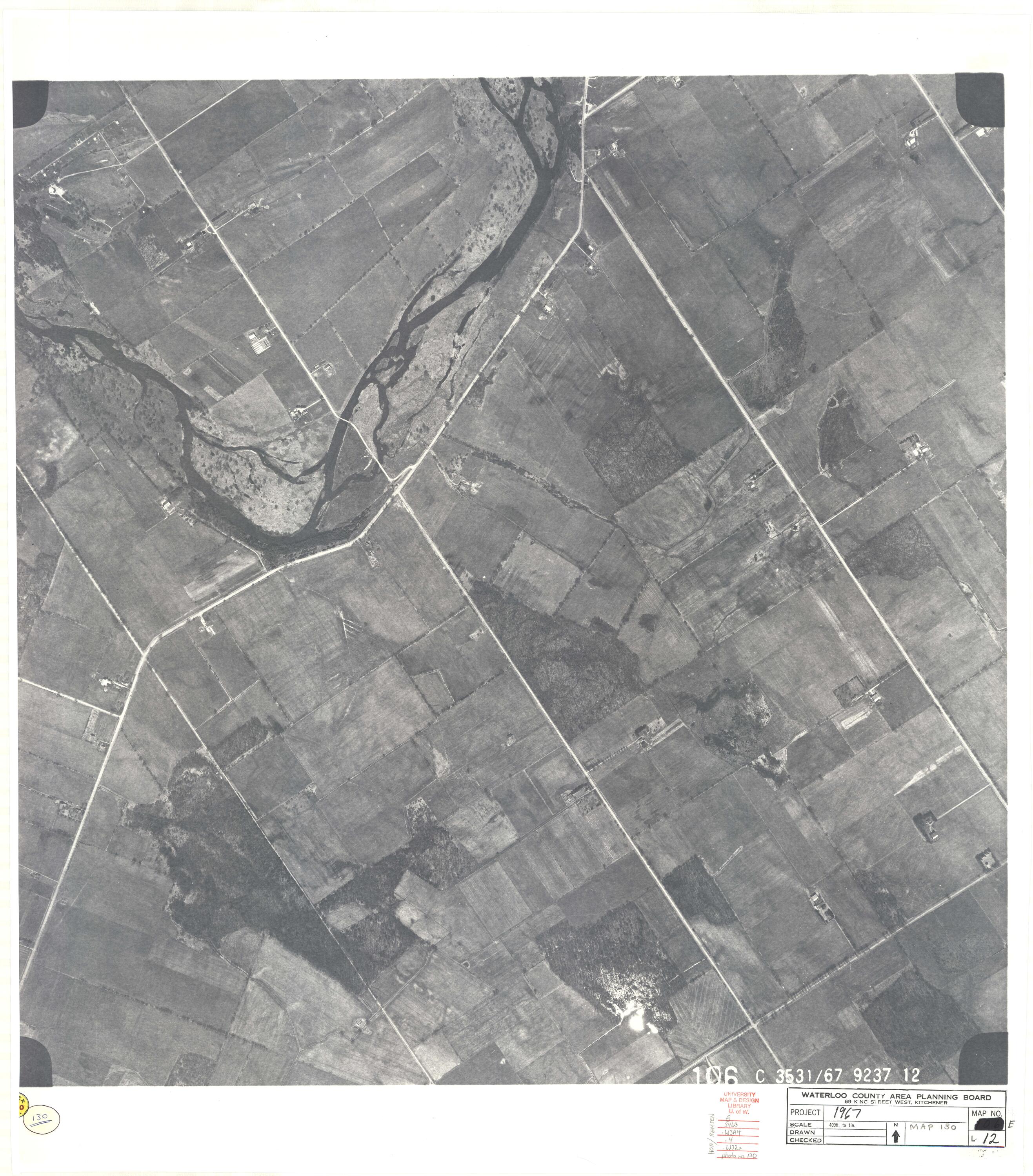
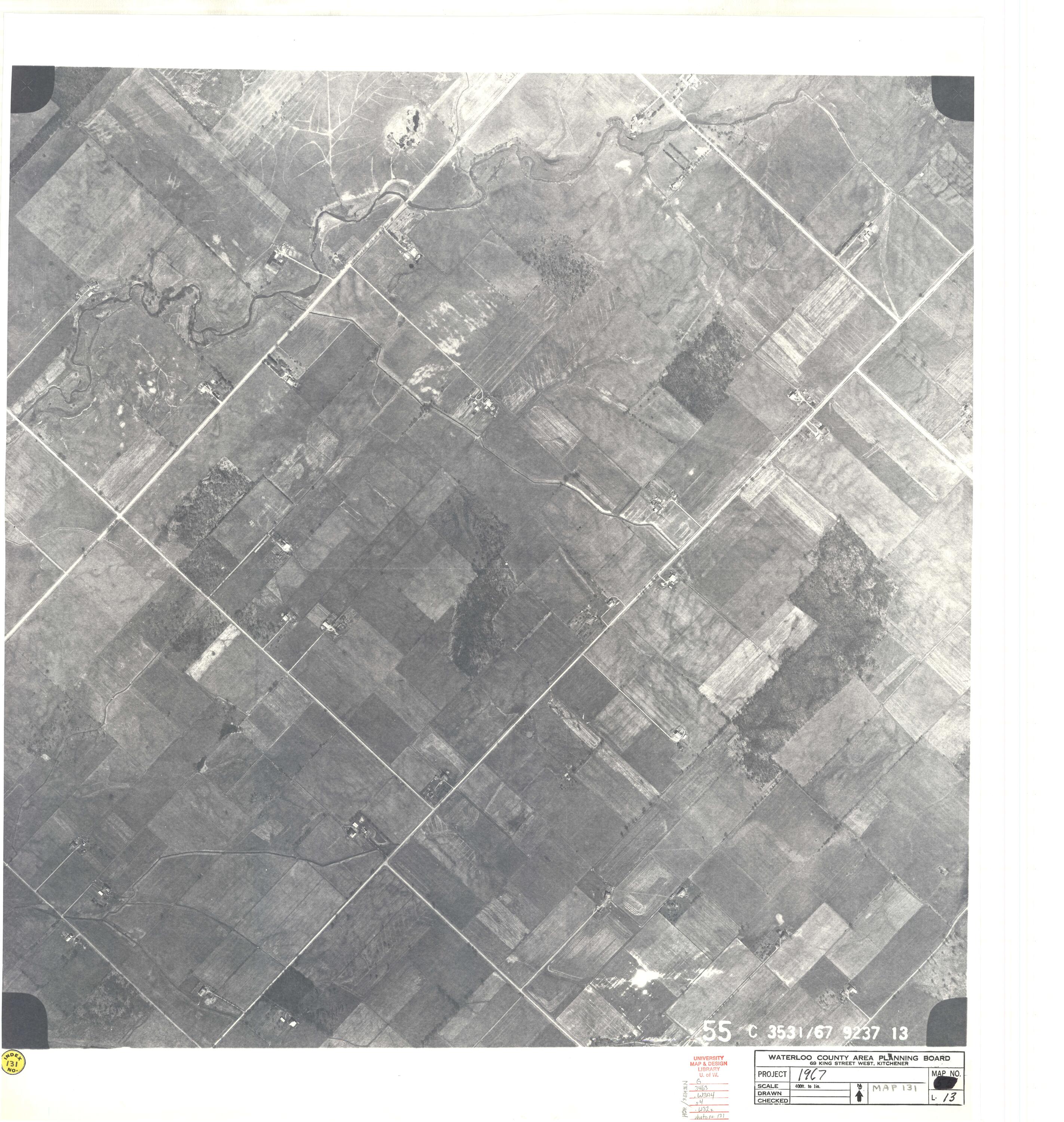
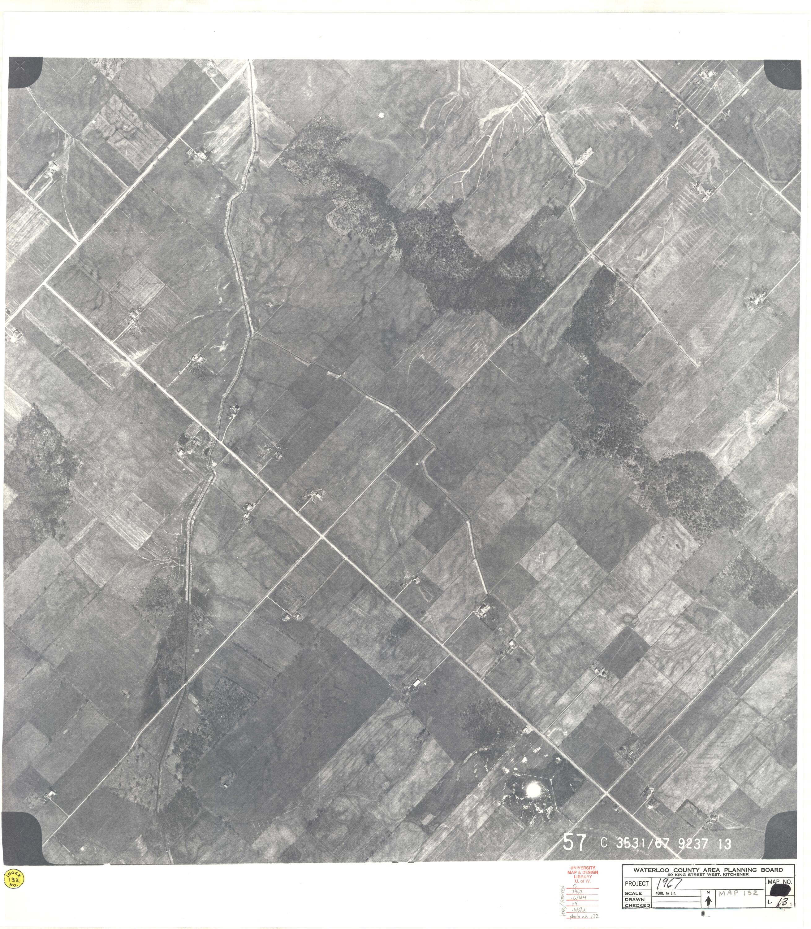
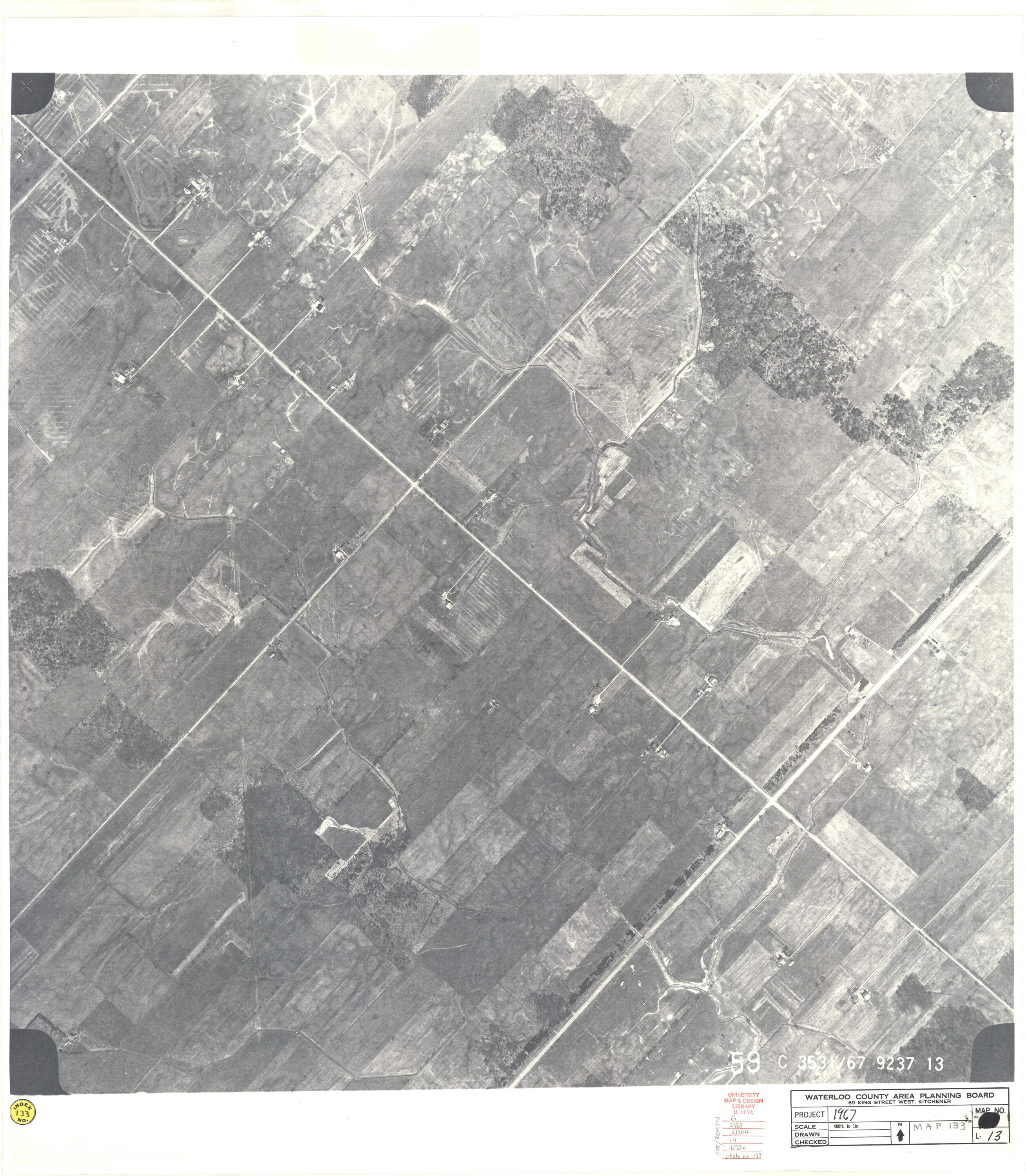
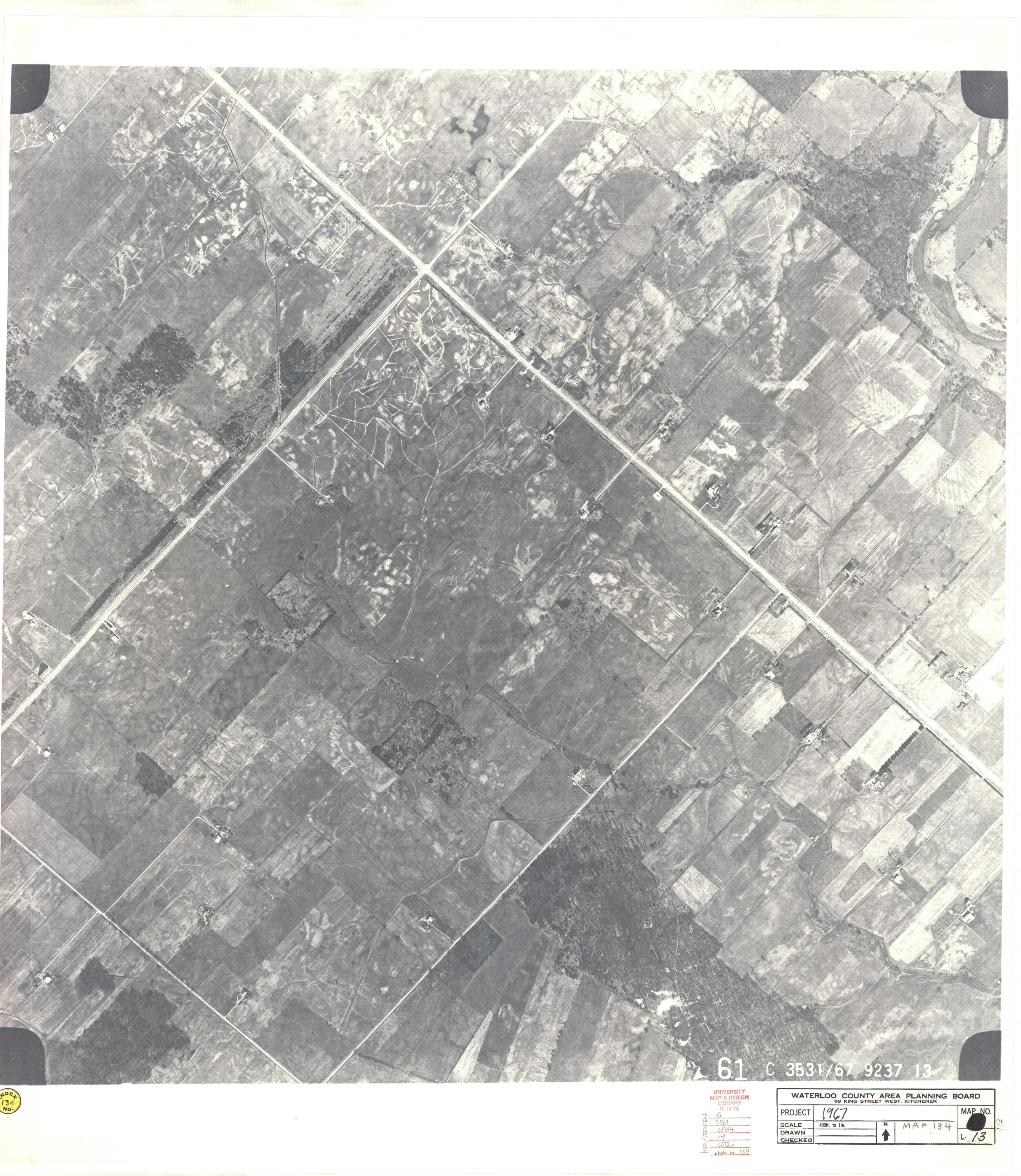
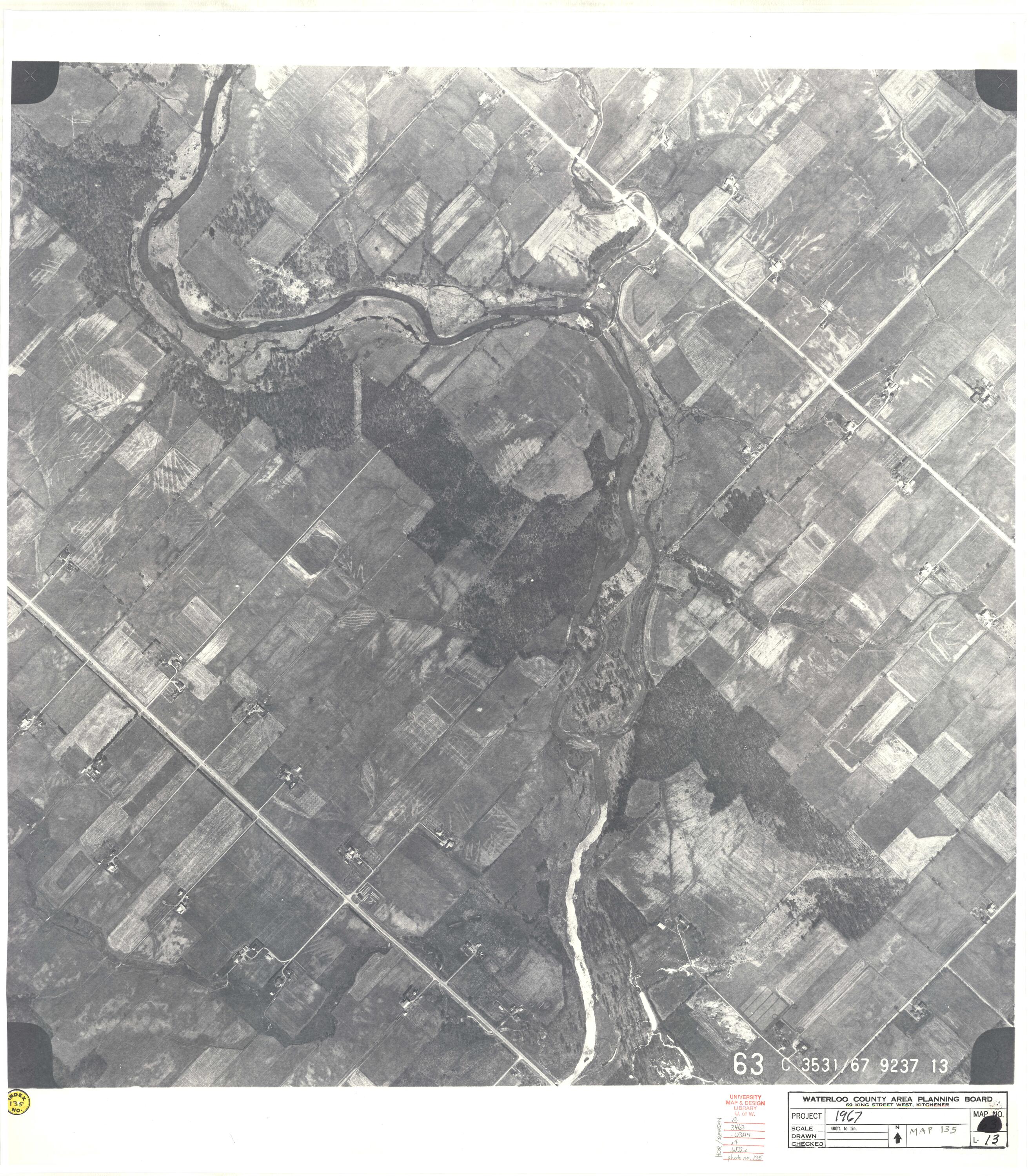
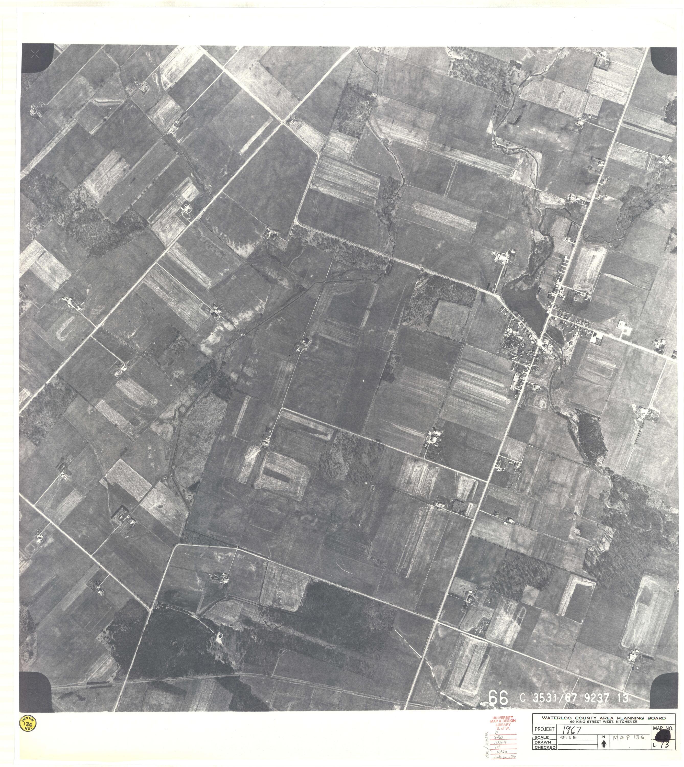
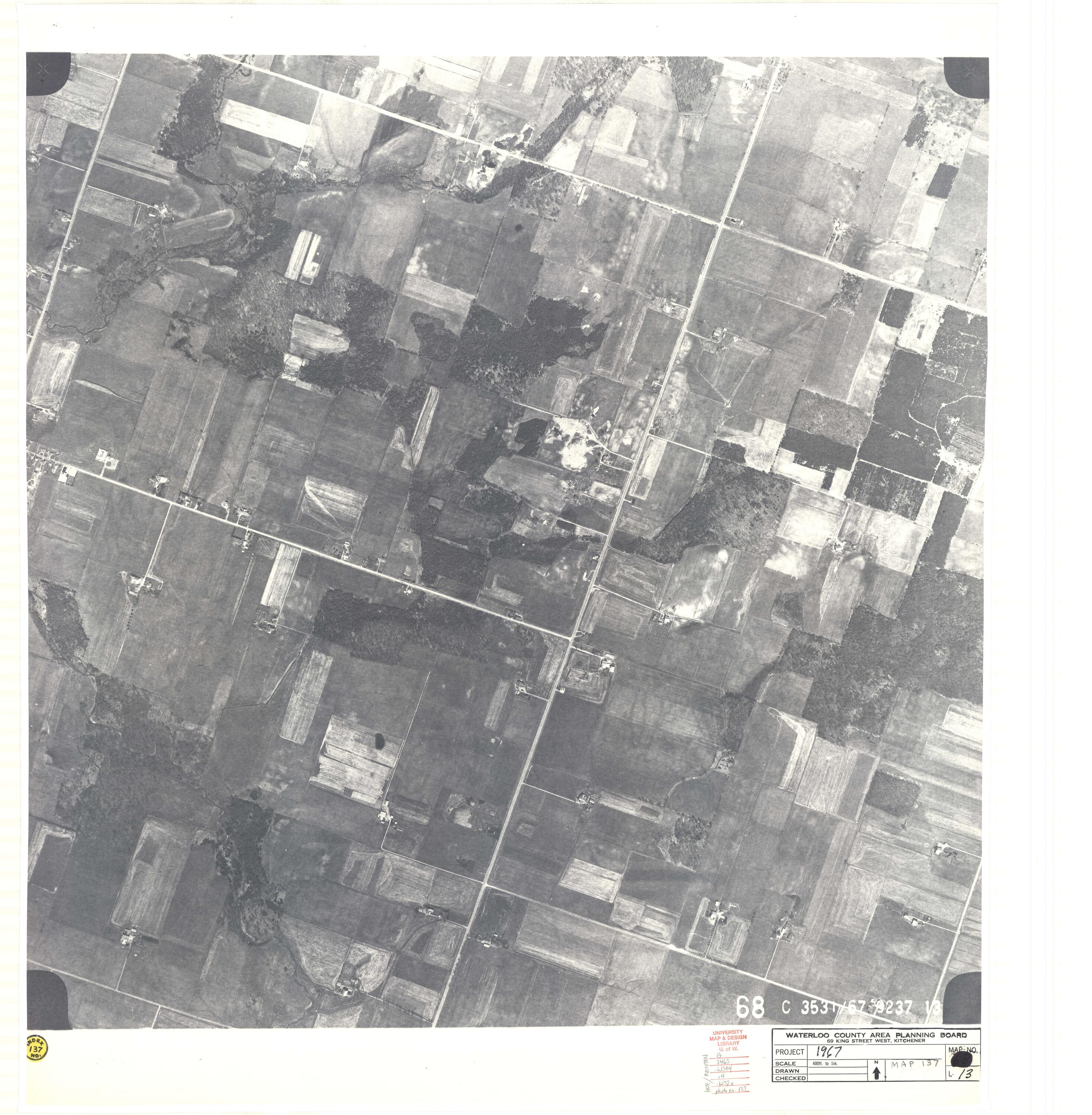
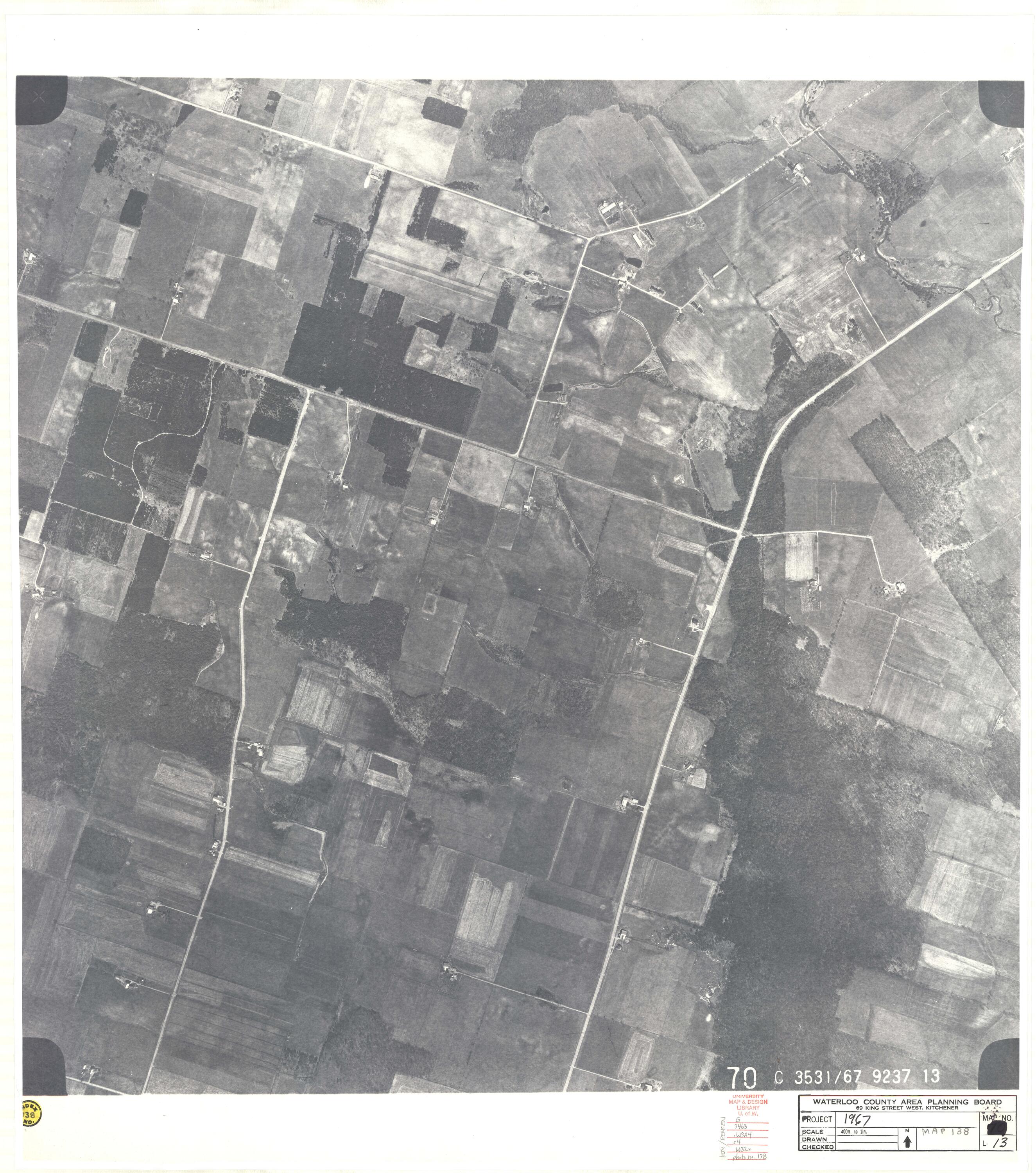
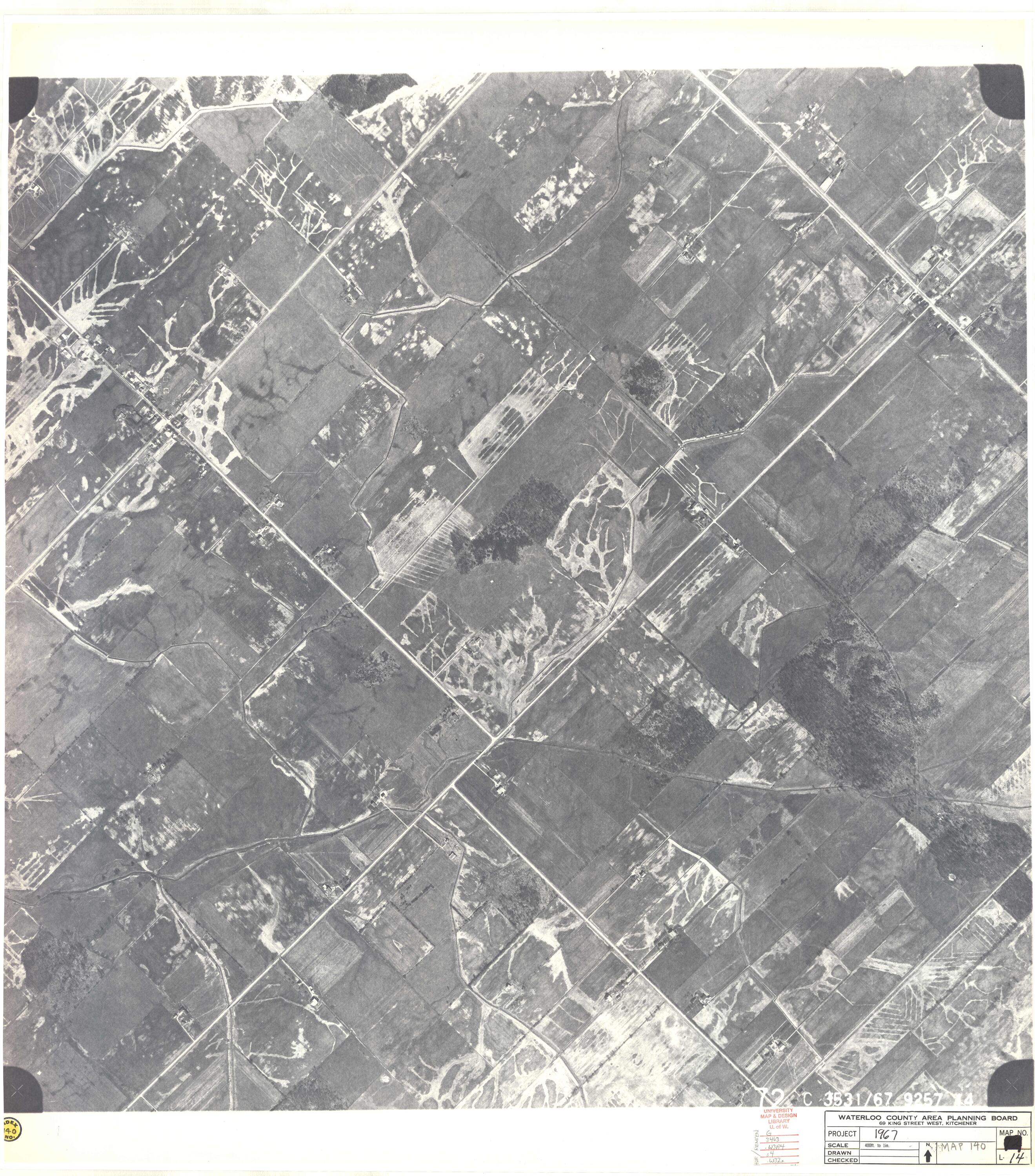
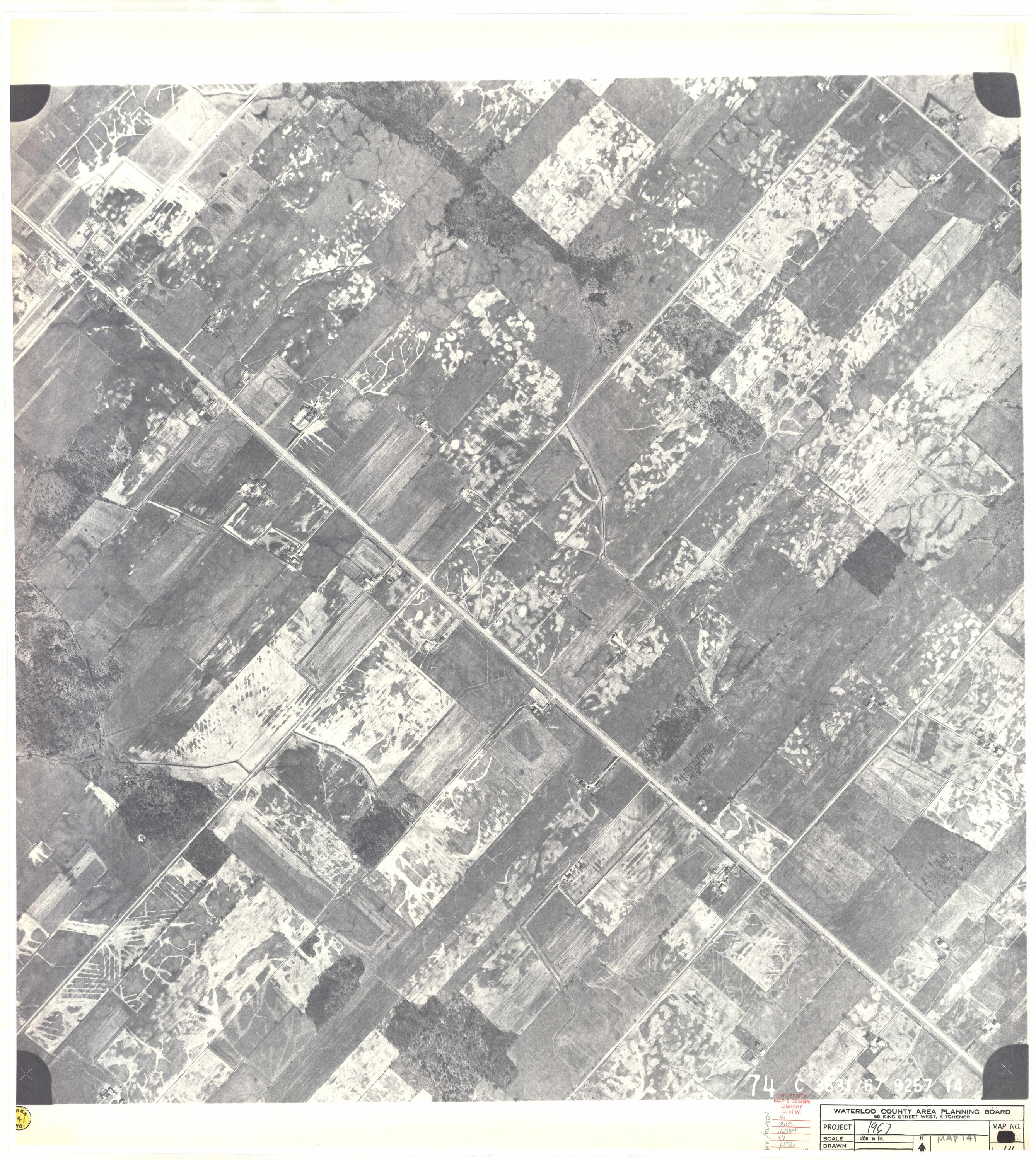
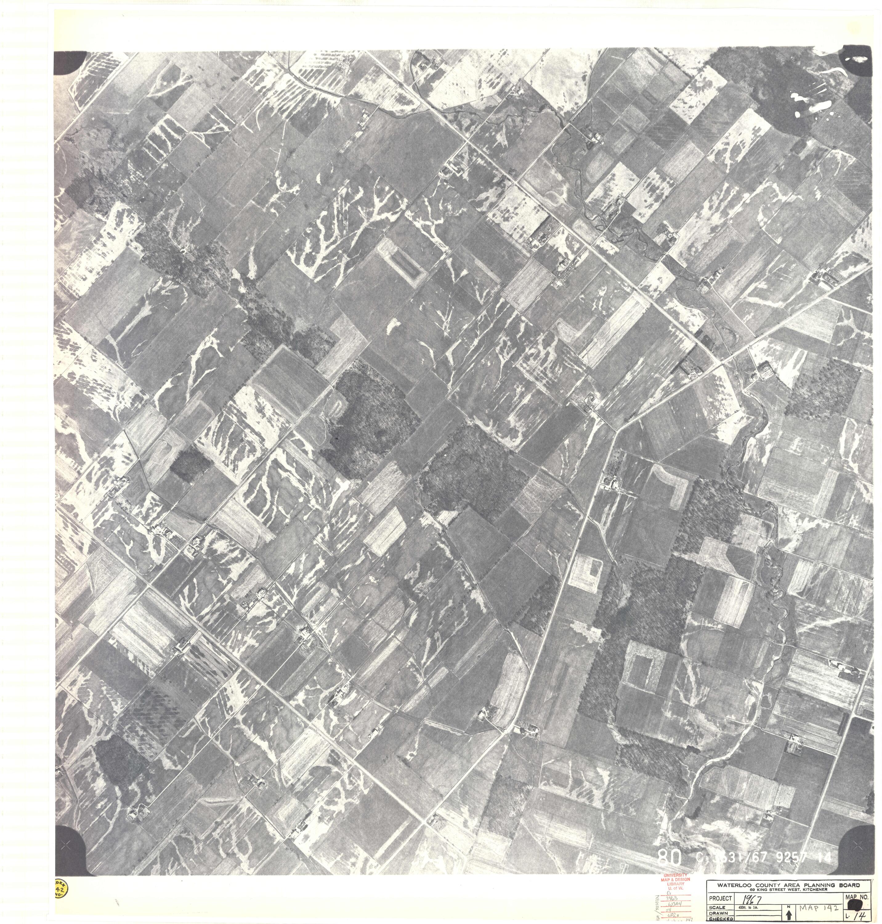
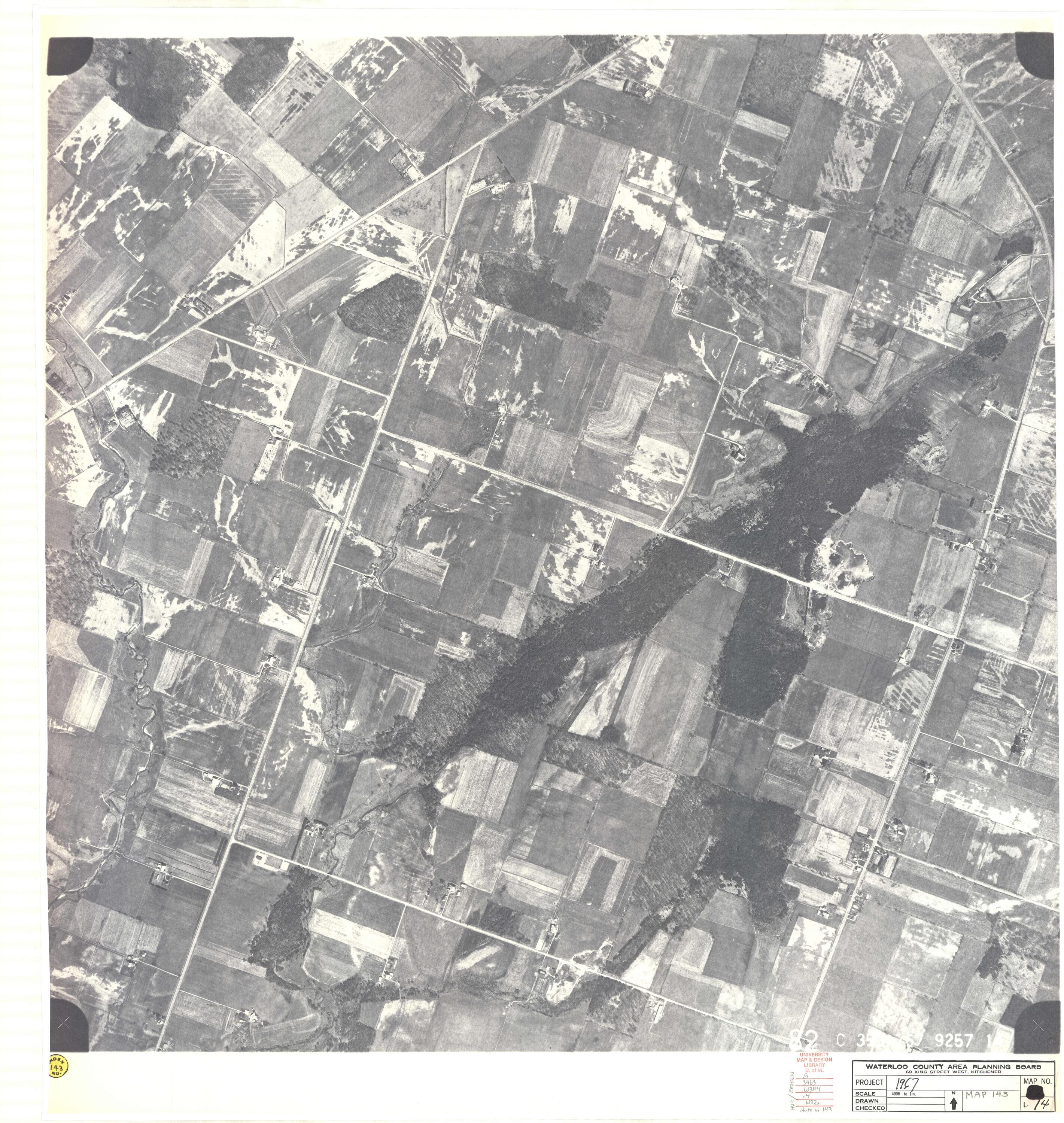
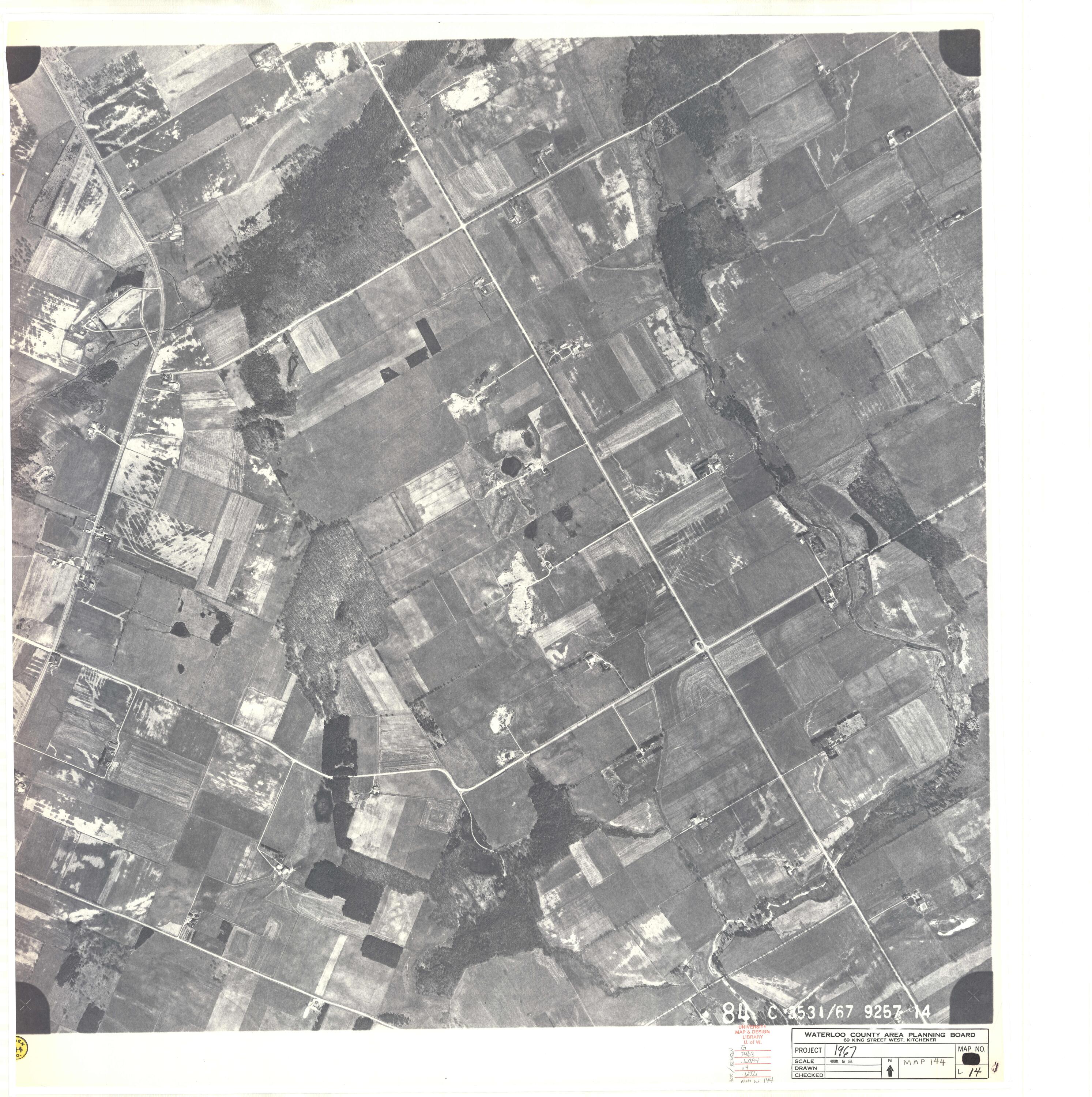
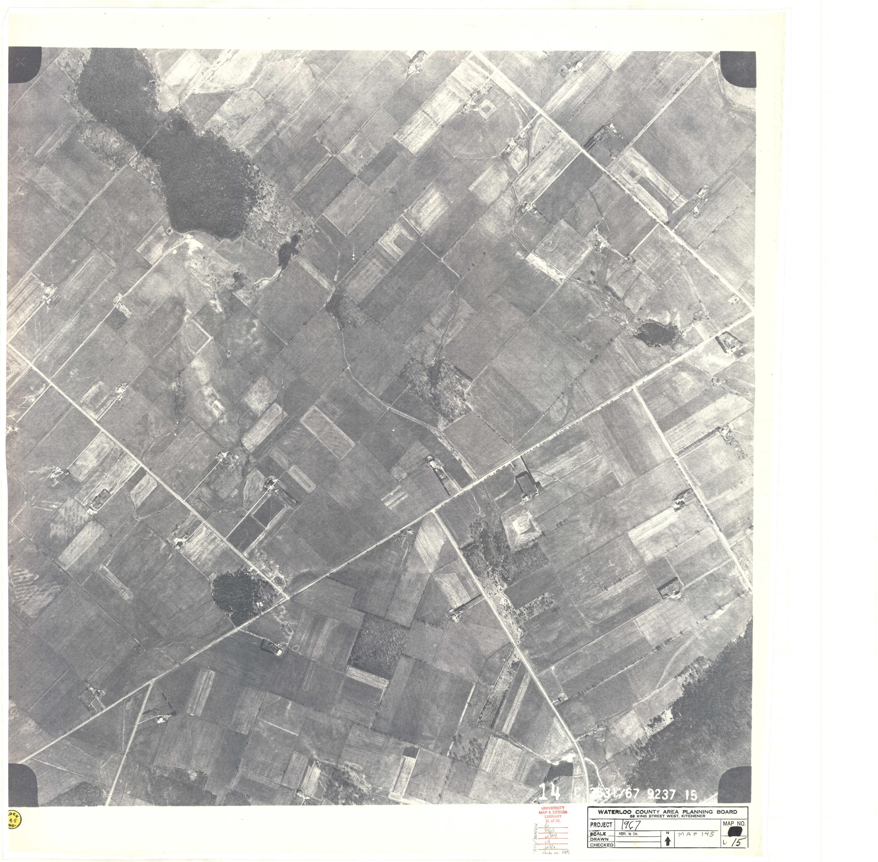
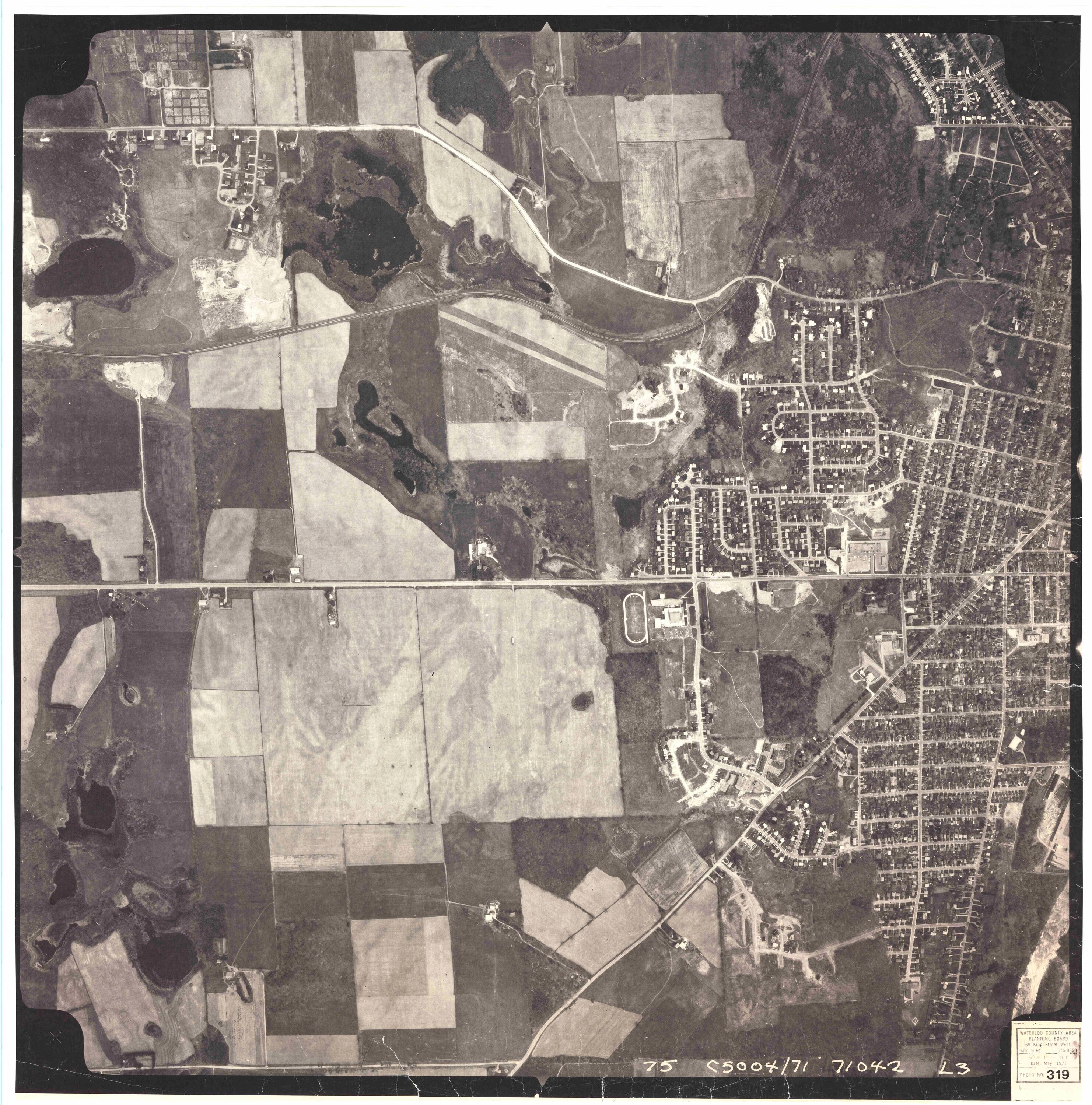
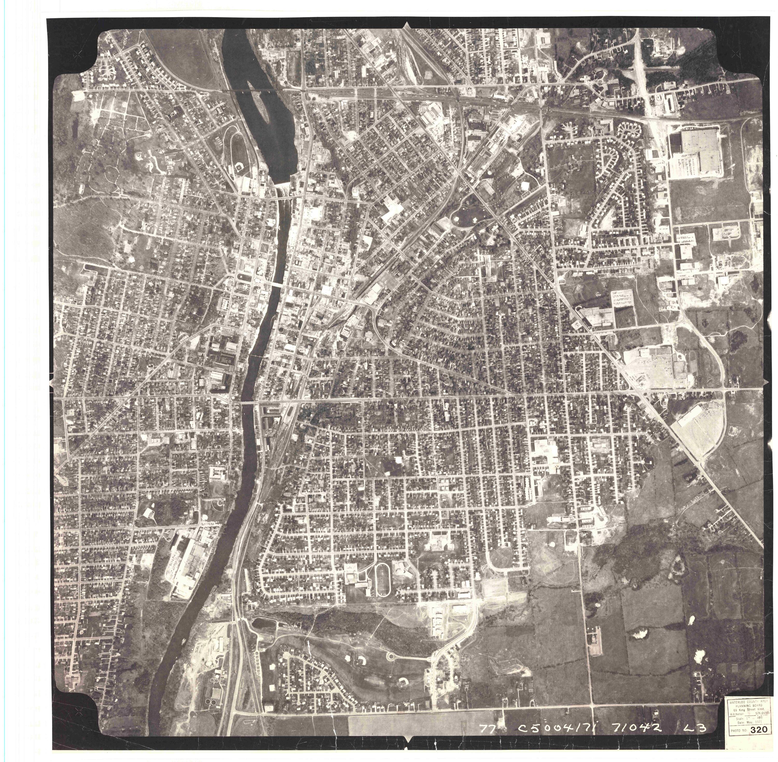
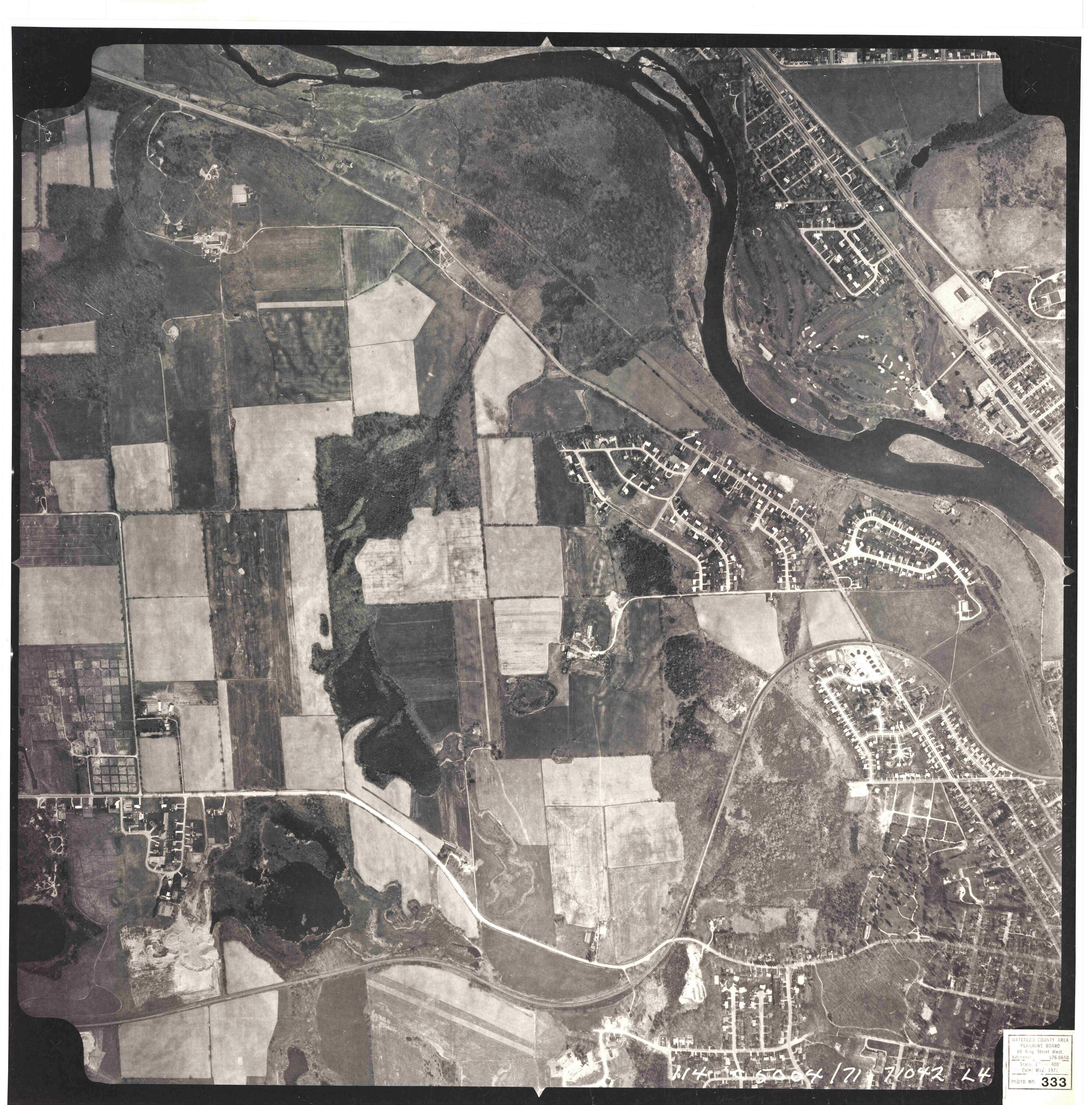
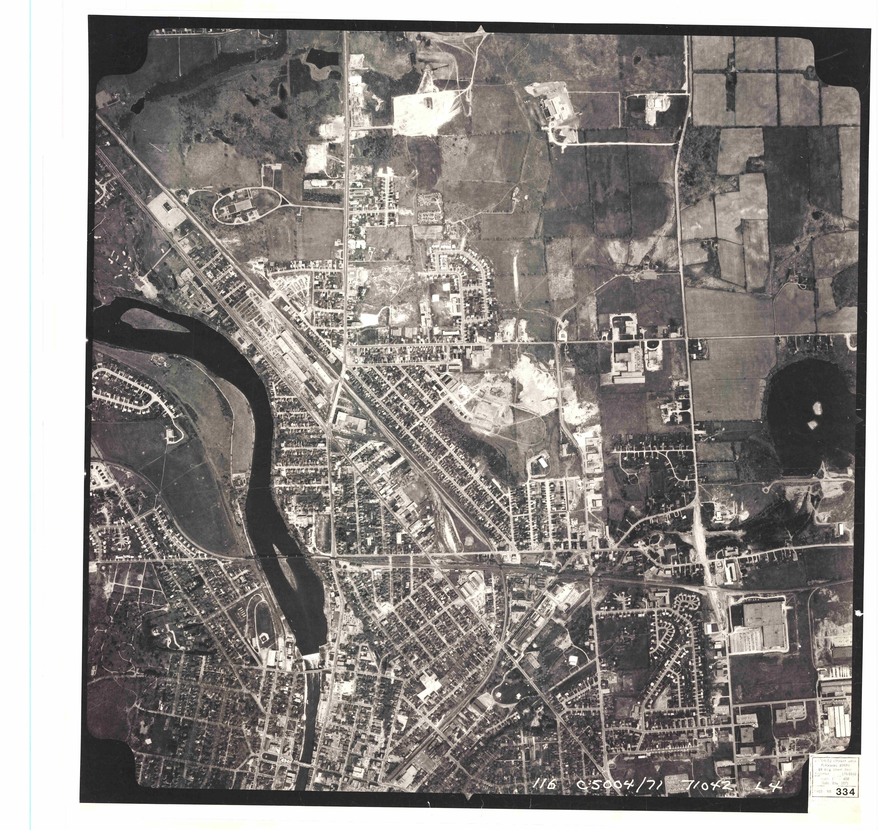
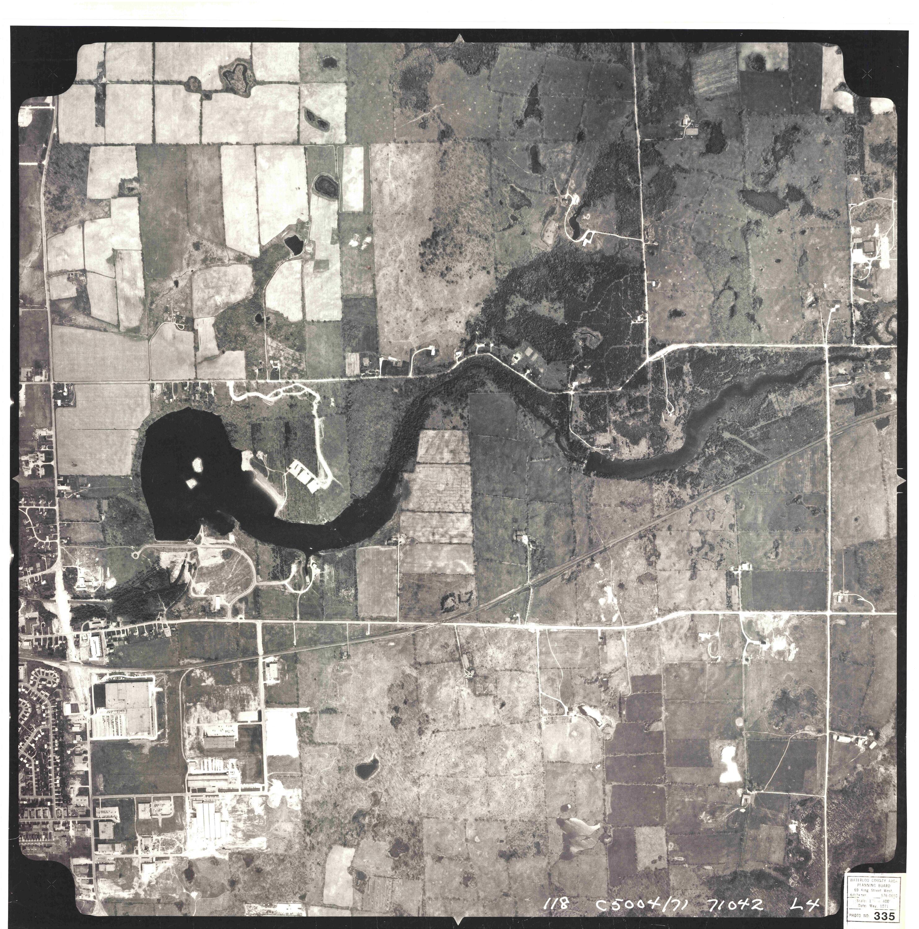
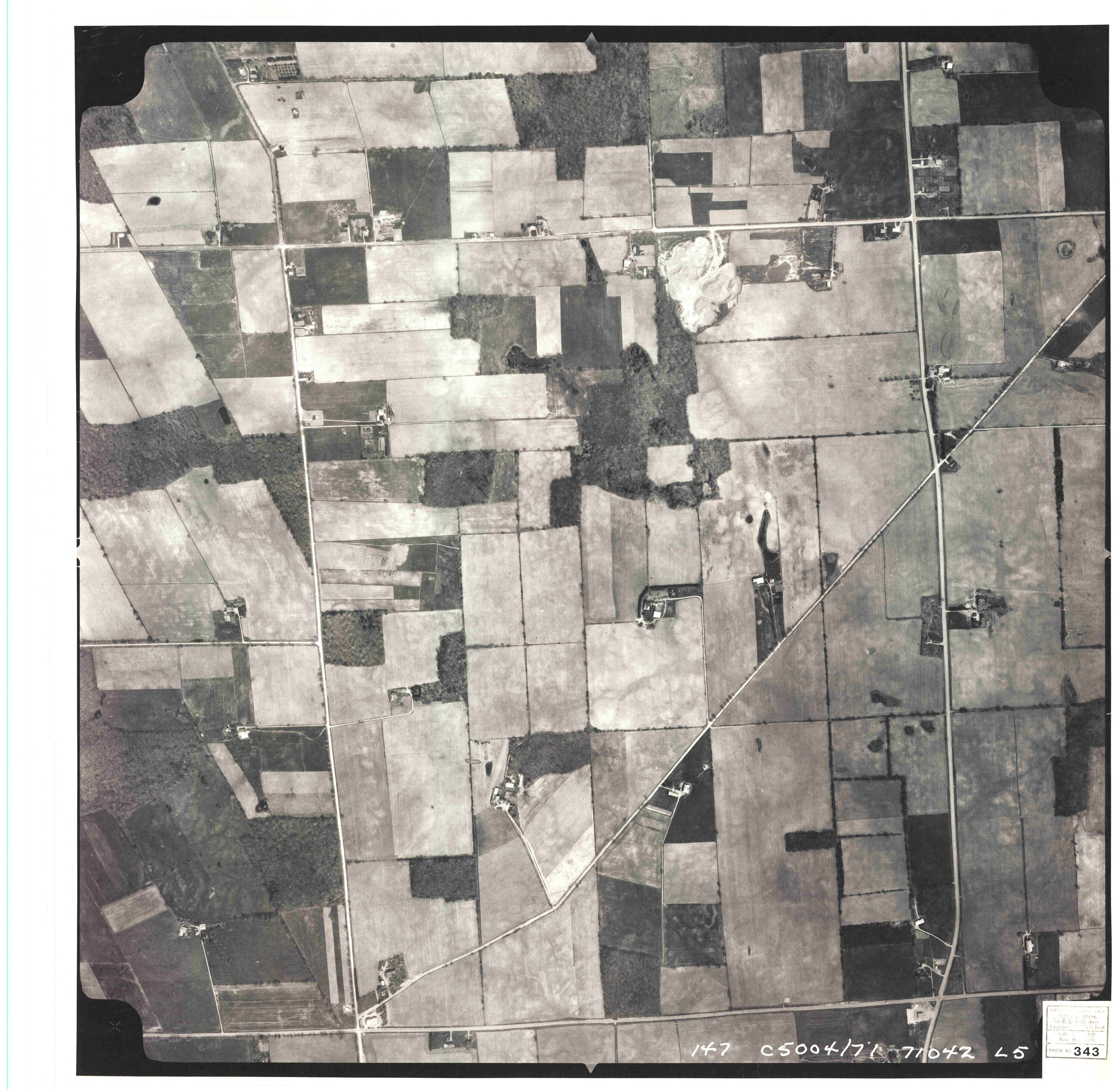
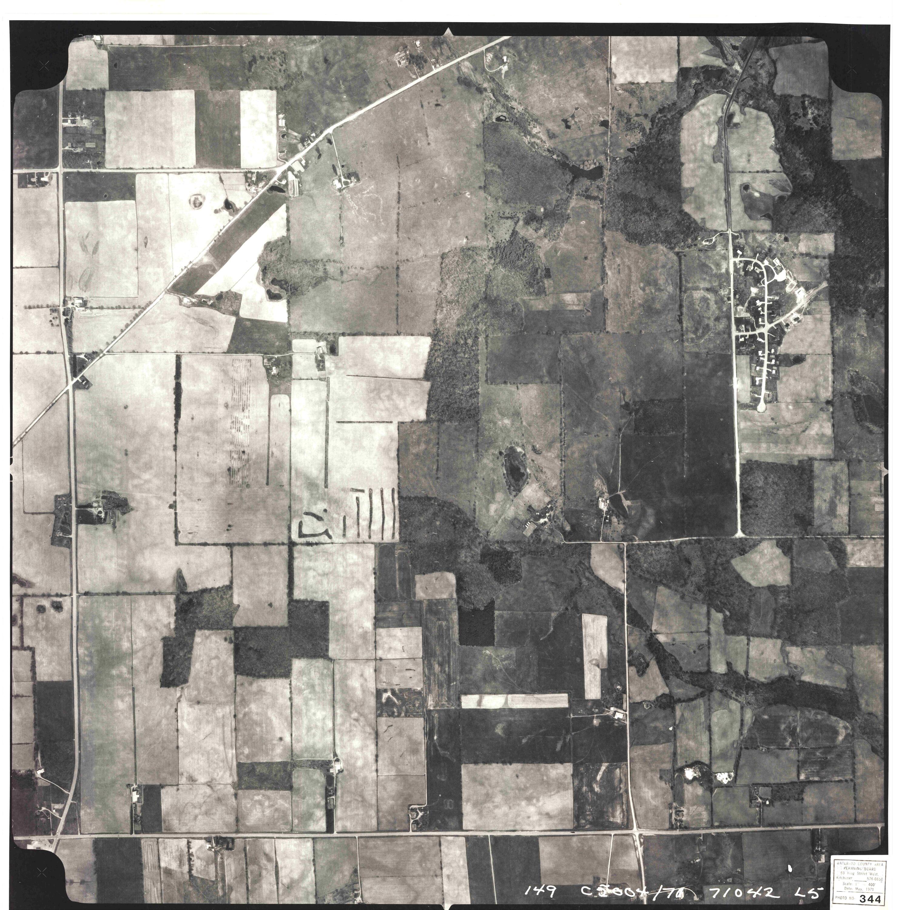
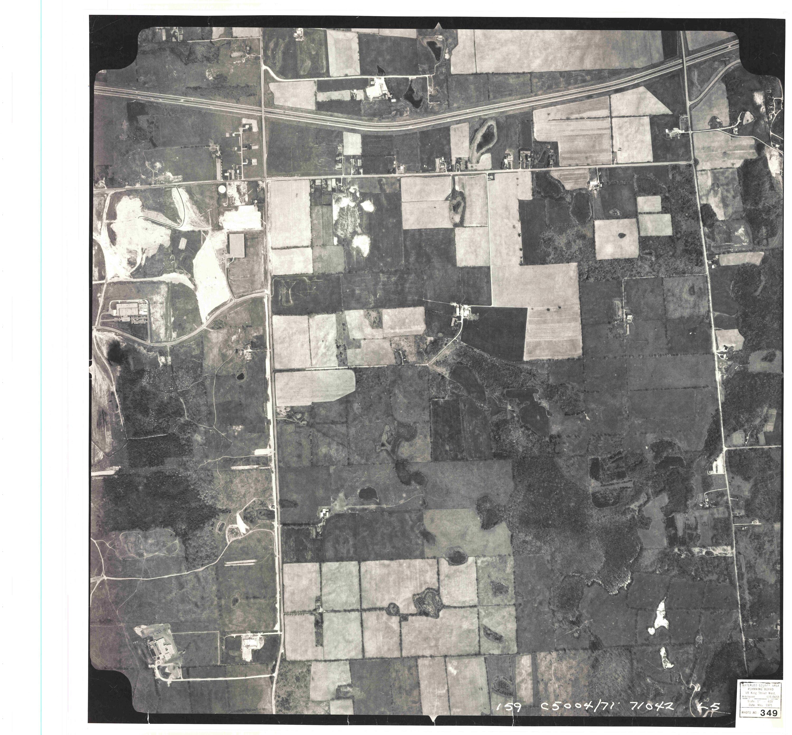
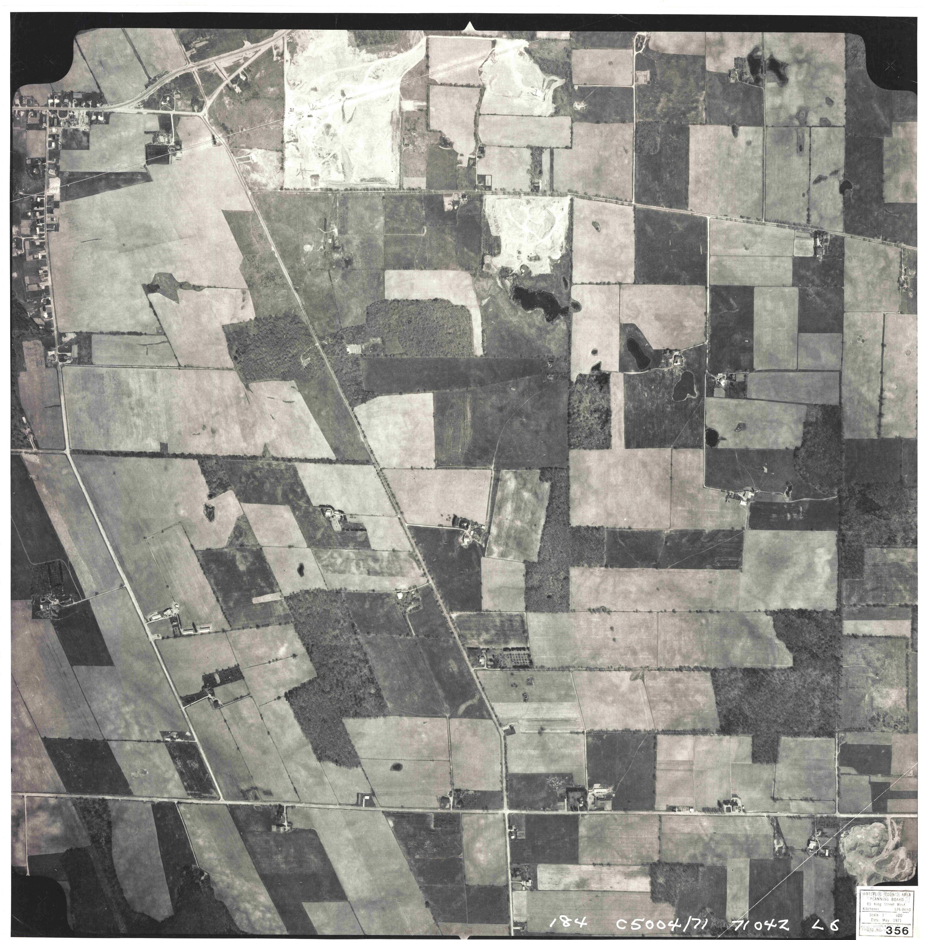
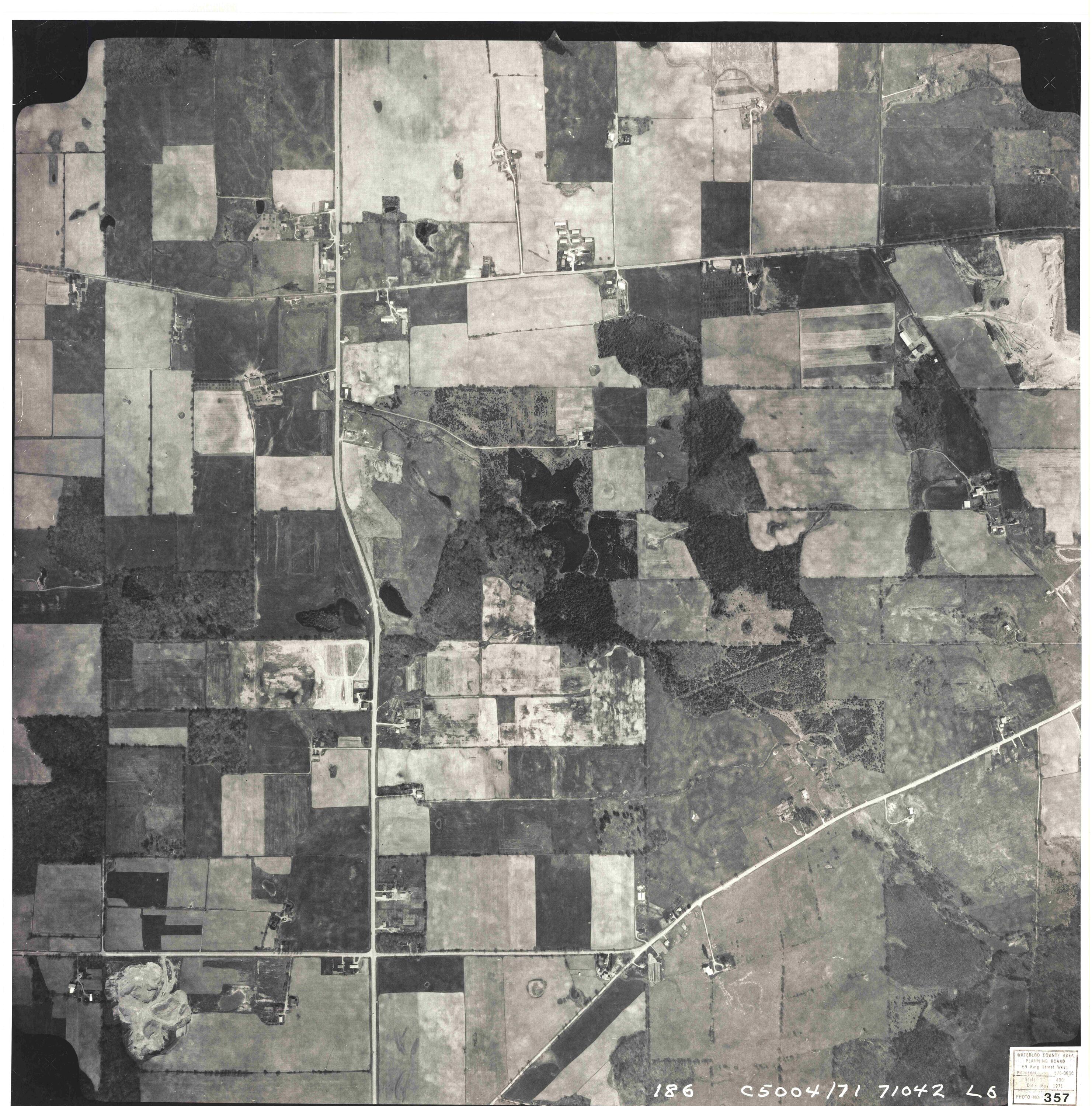
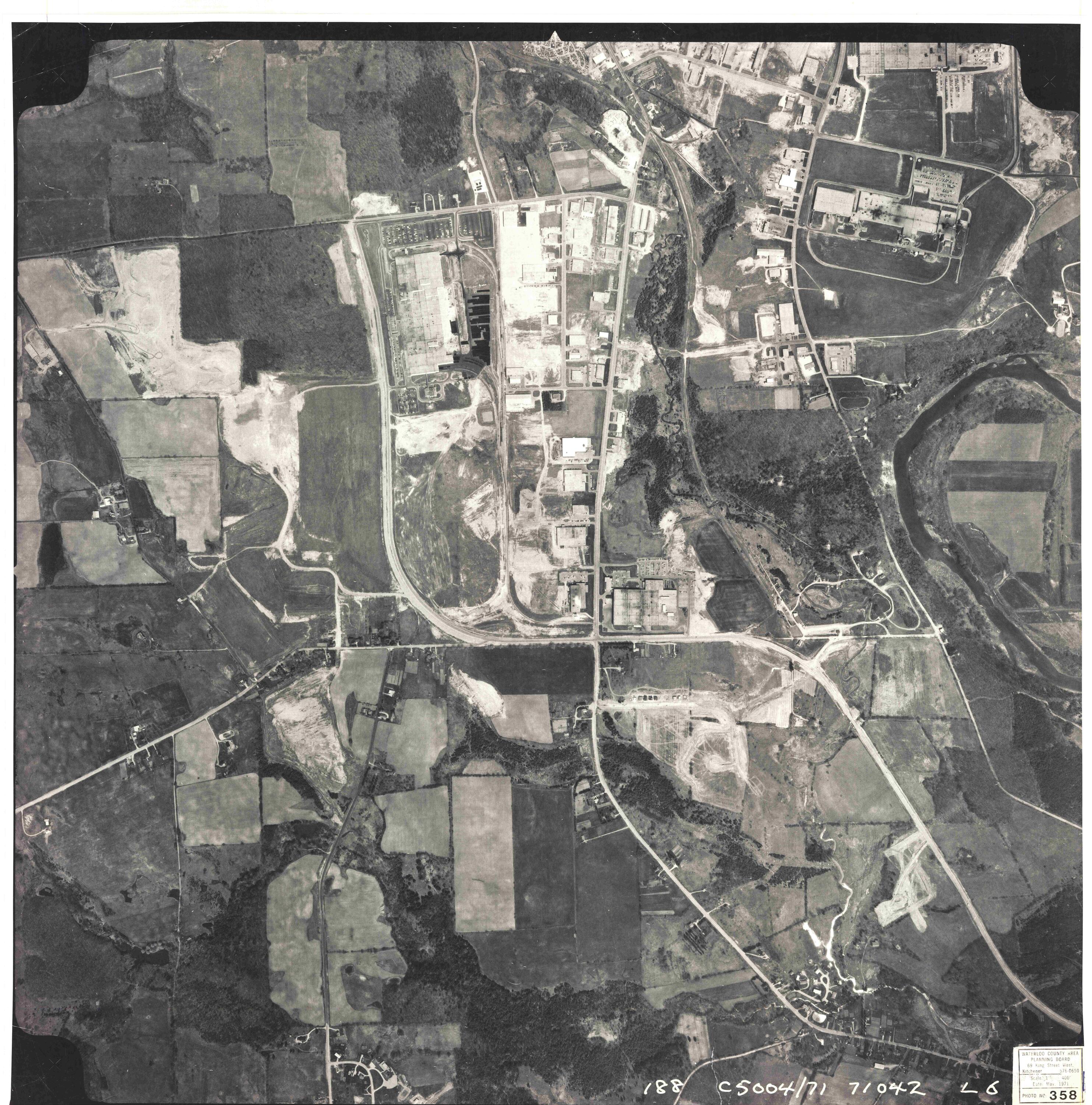
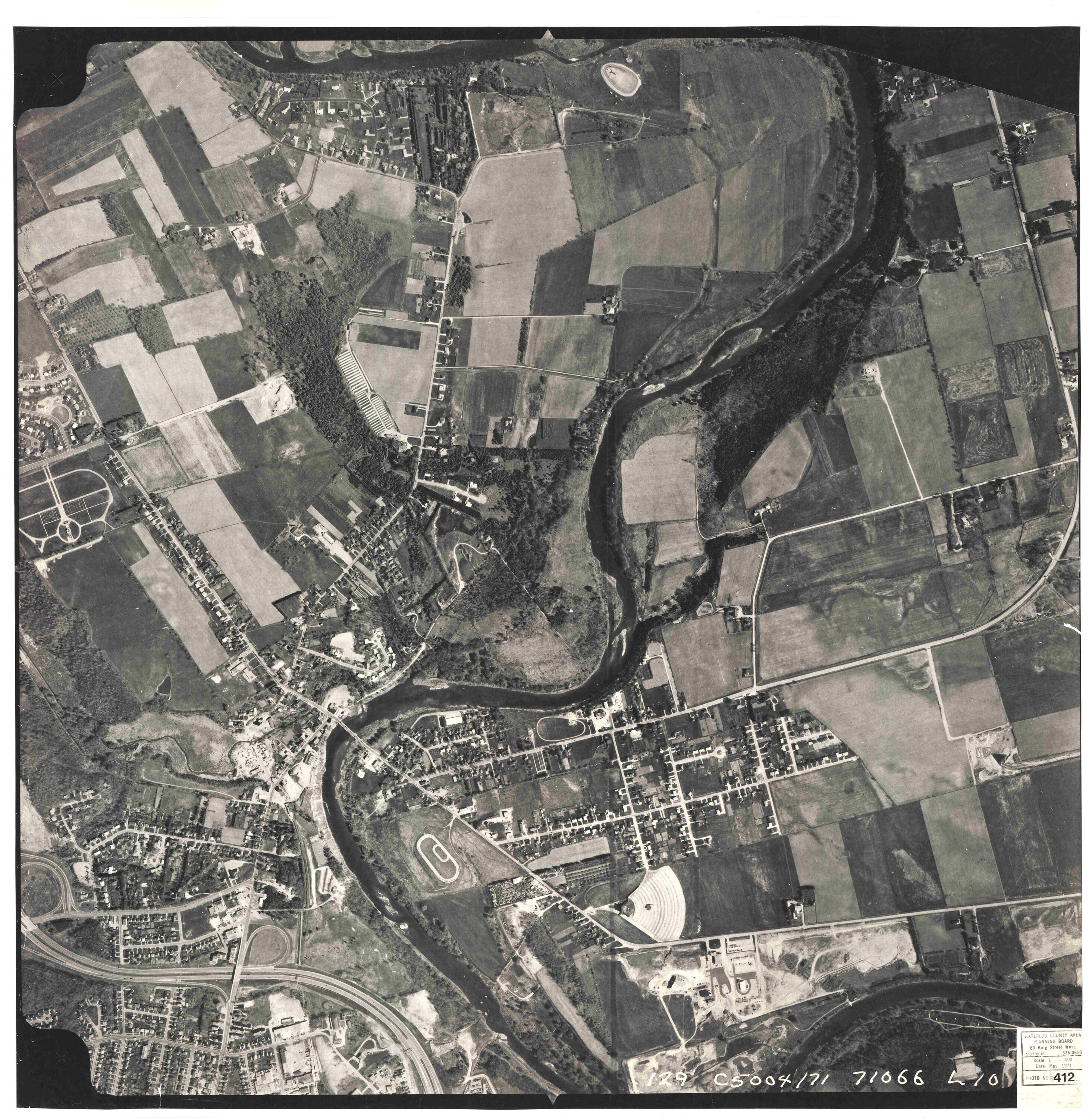
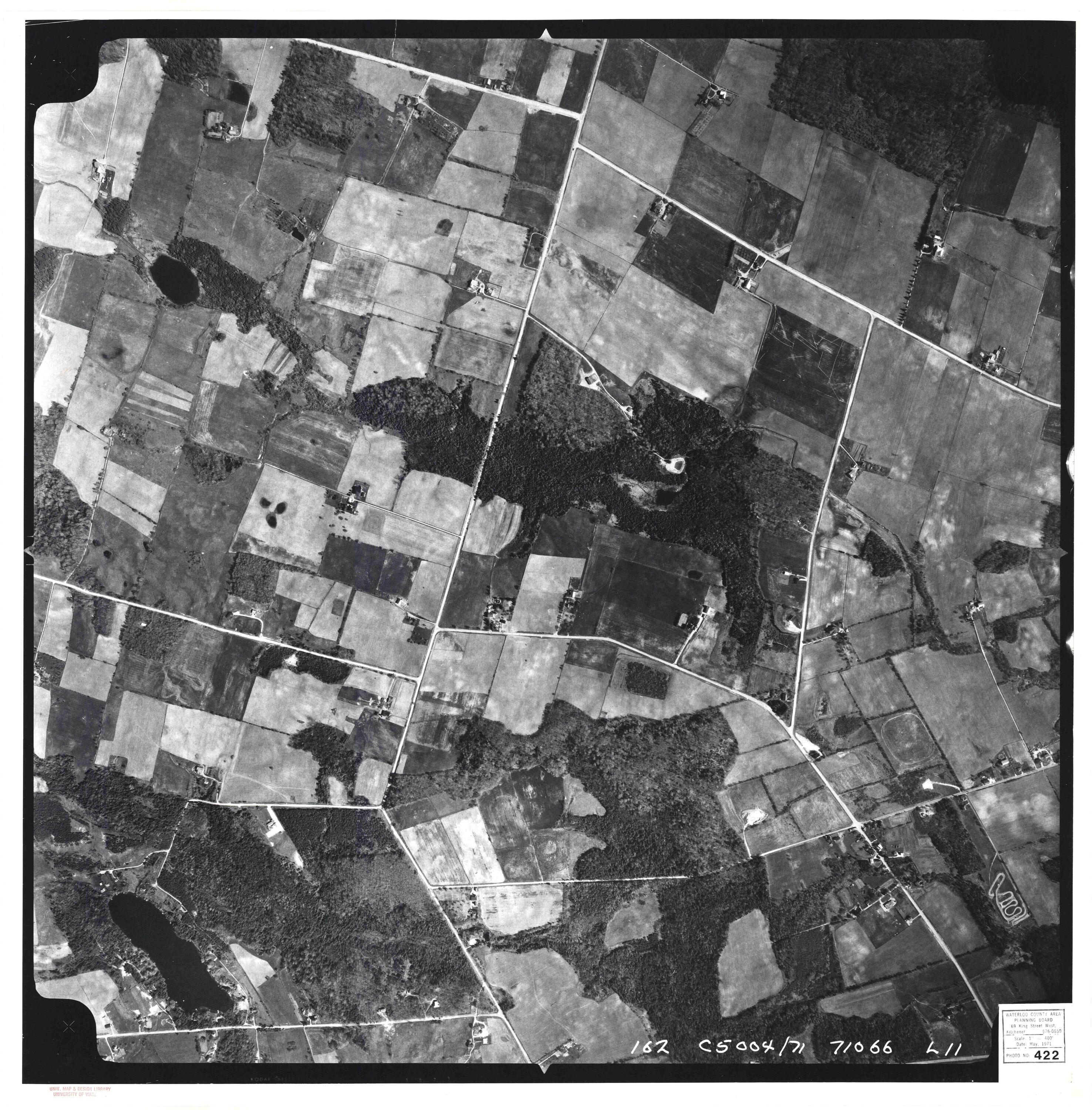
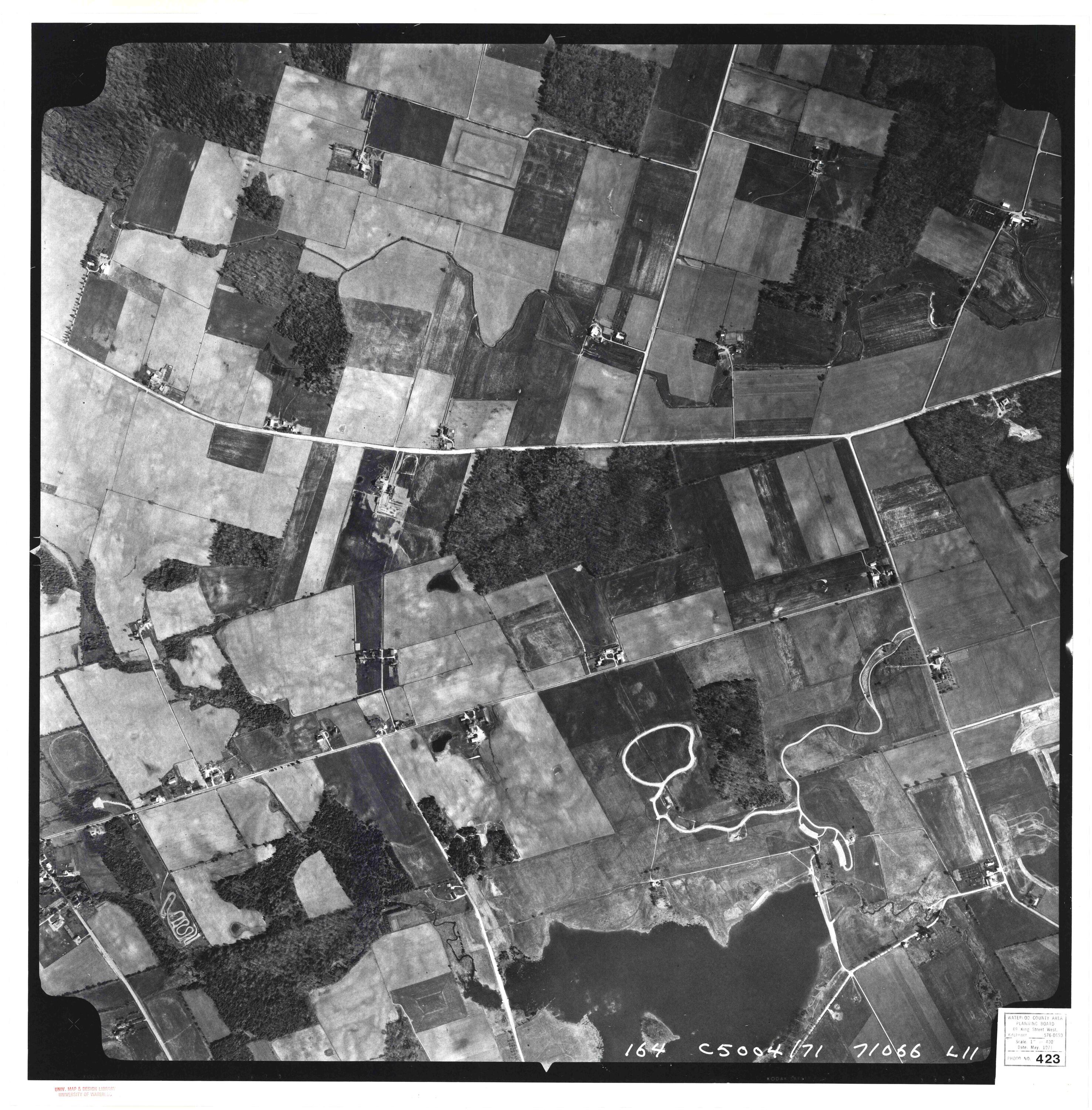
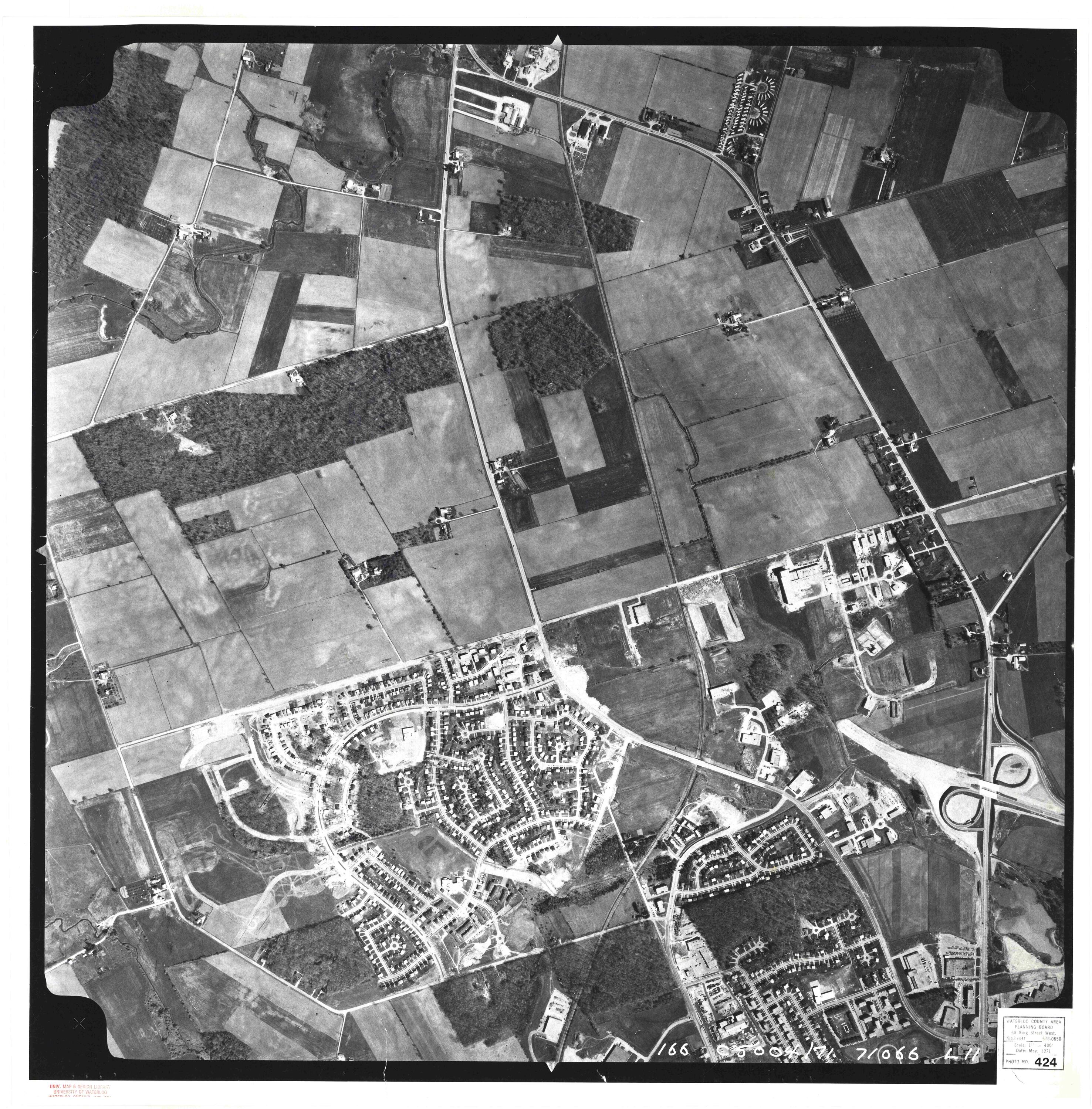
Photomaps for the Region of Waterloo for the years 1967 and 1971 have been scanned and georeferenced and are available for public viewing and downloading. Original high resolution imagery files are available from the Geospatial Centre. For access to digitized photomaps between 1975-2006, please contact Geospatial Centre staff. If you are interested in KML files for Google Earth use, please email the Centre.
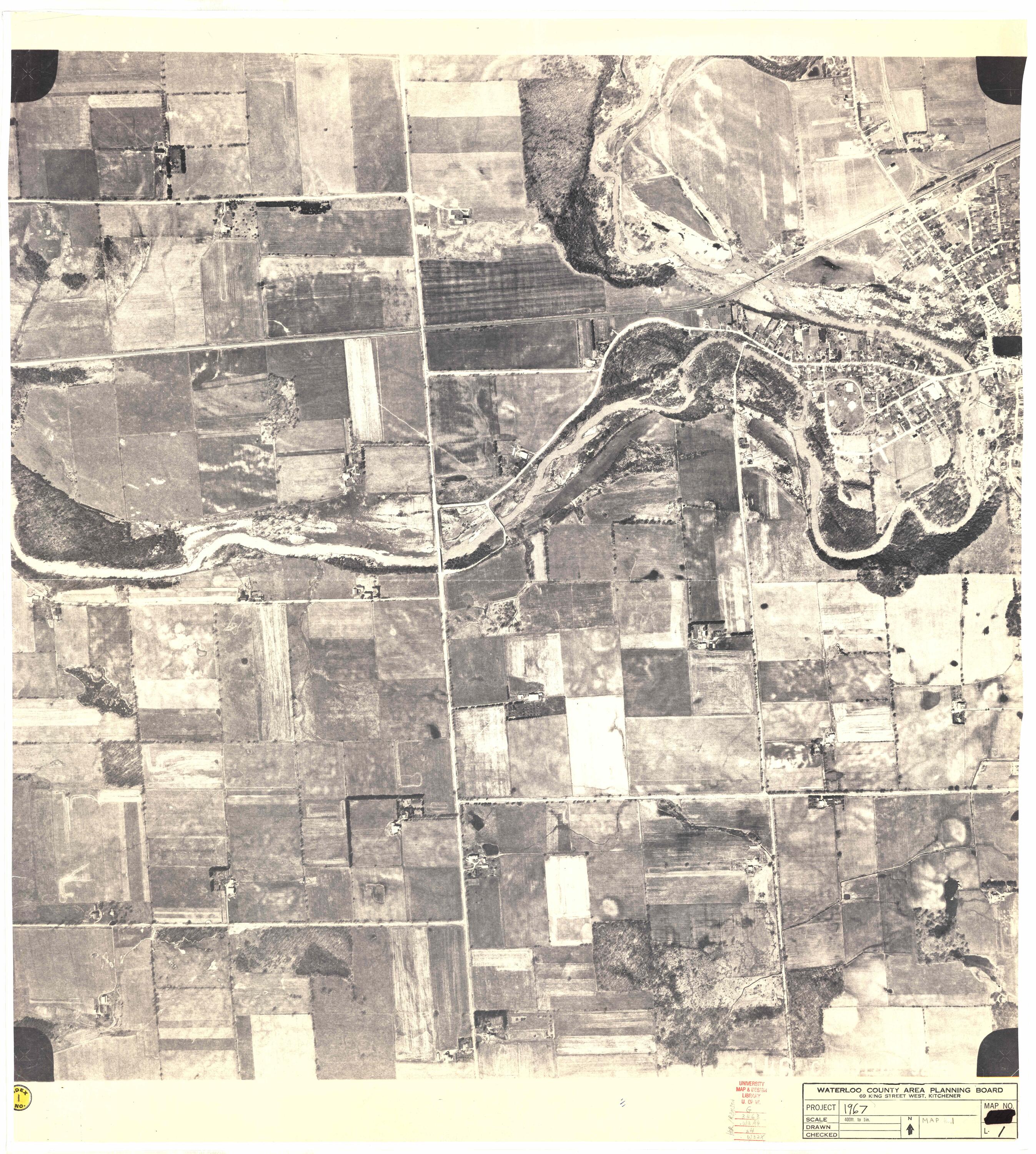
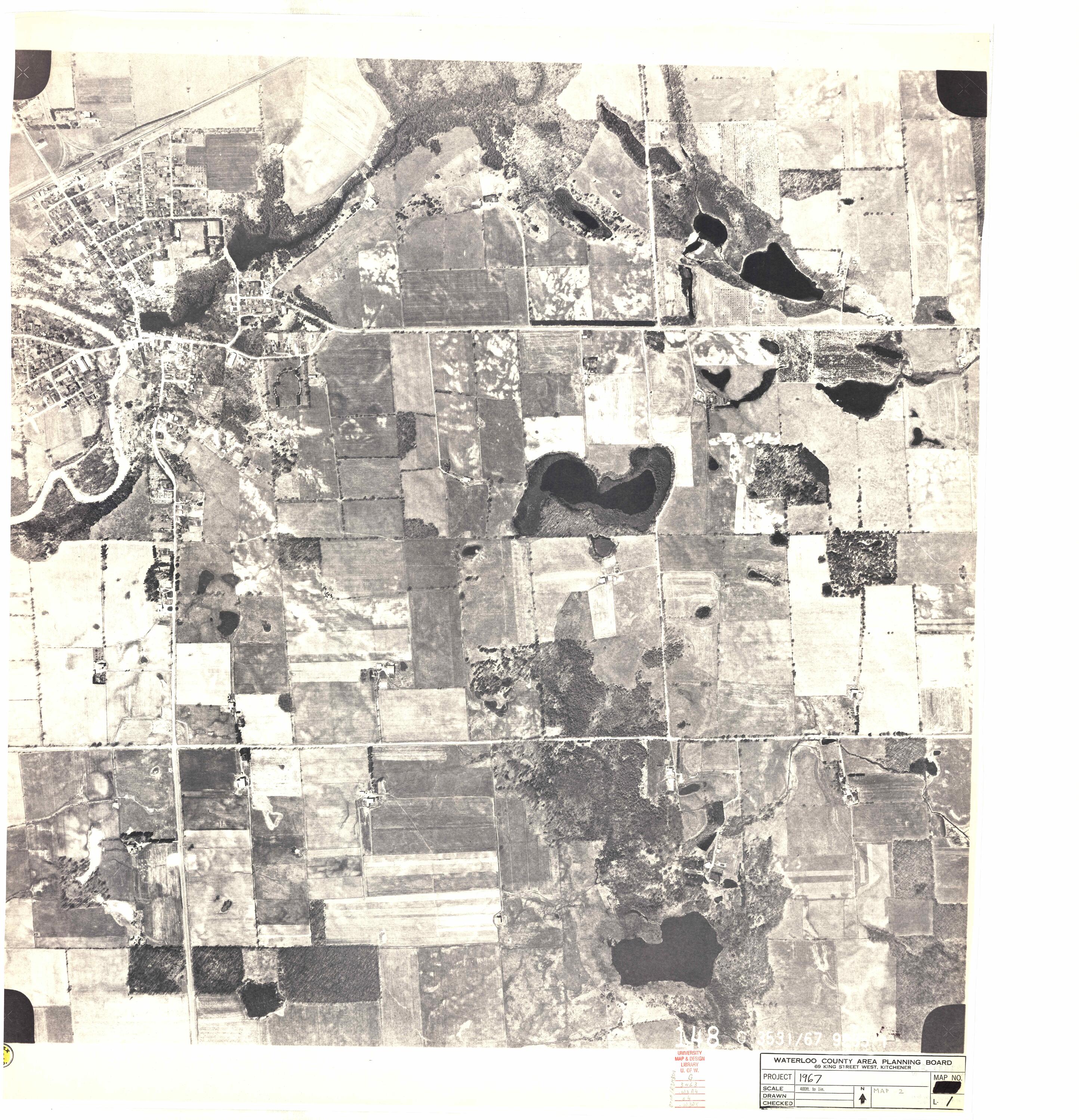
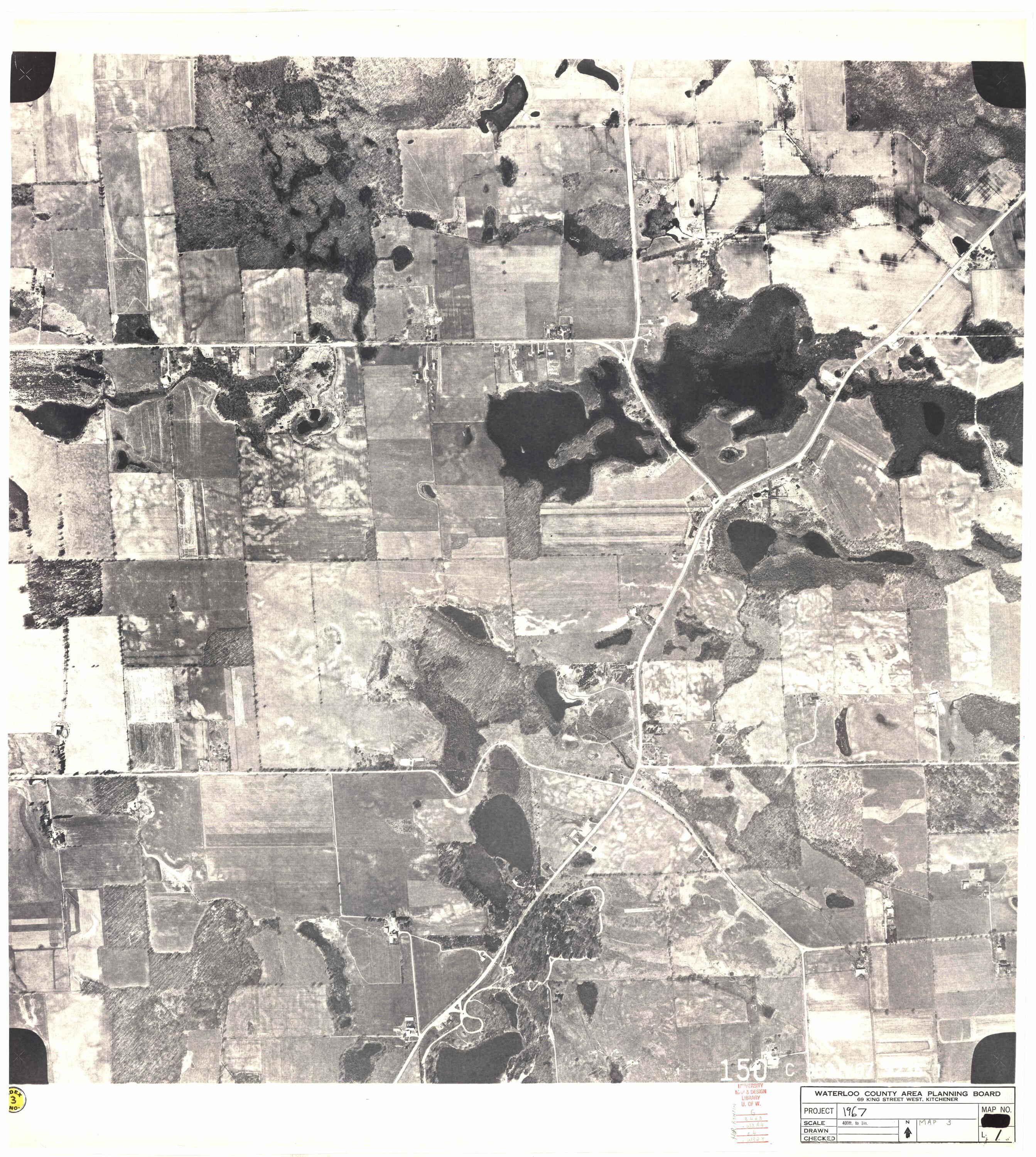
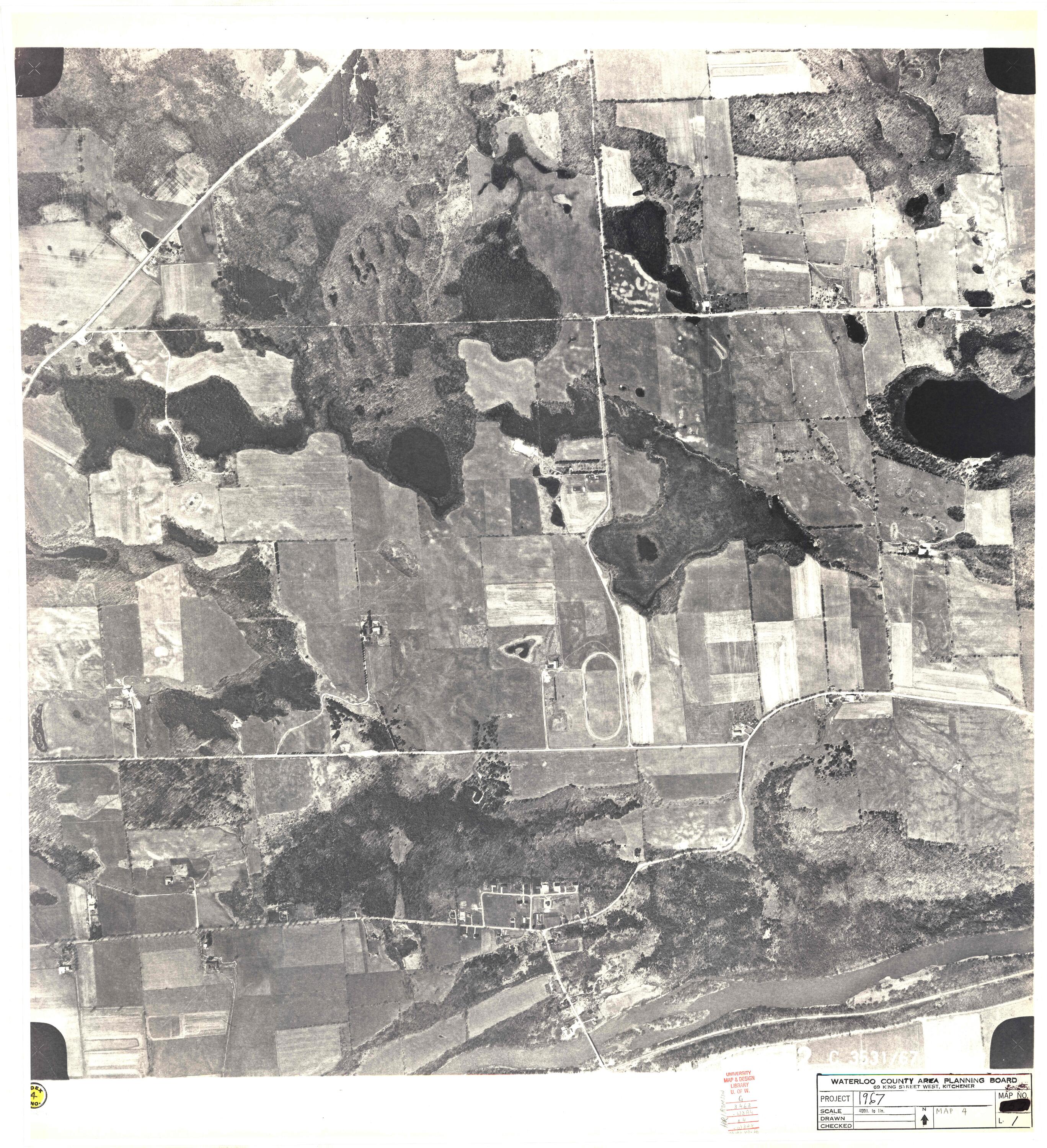
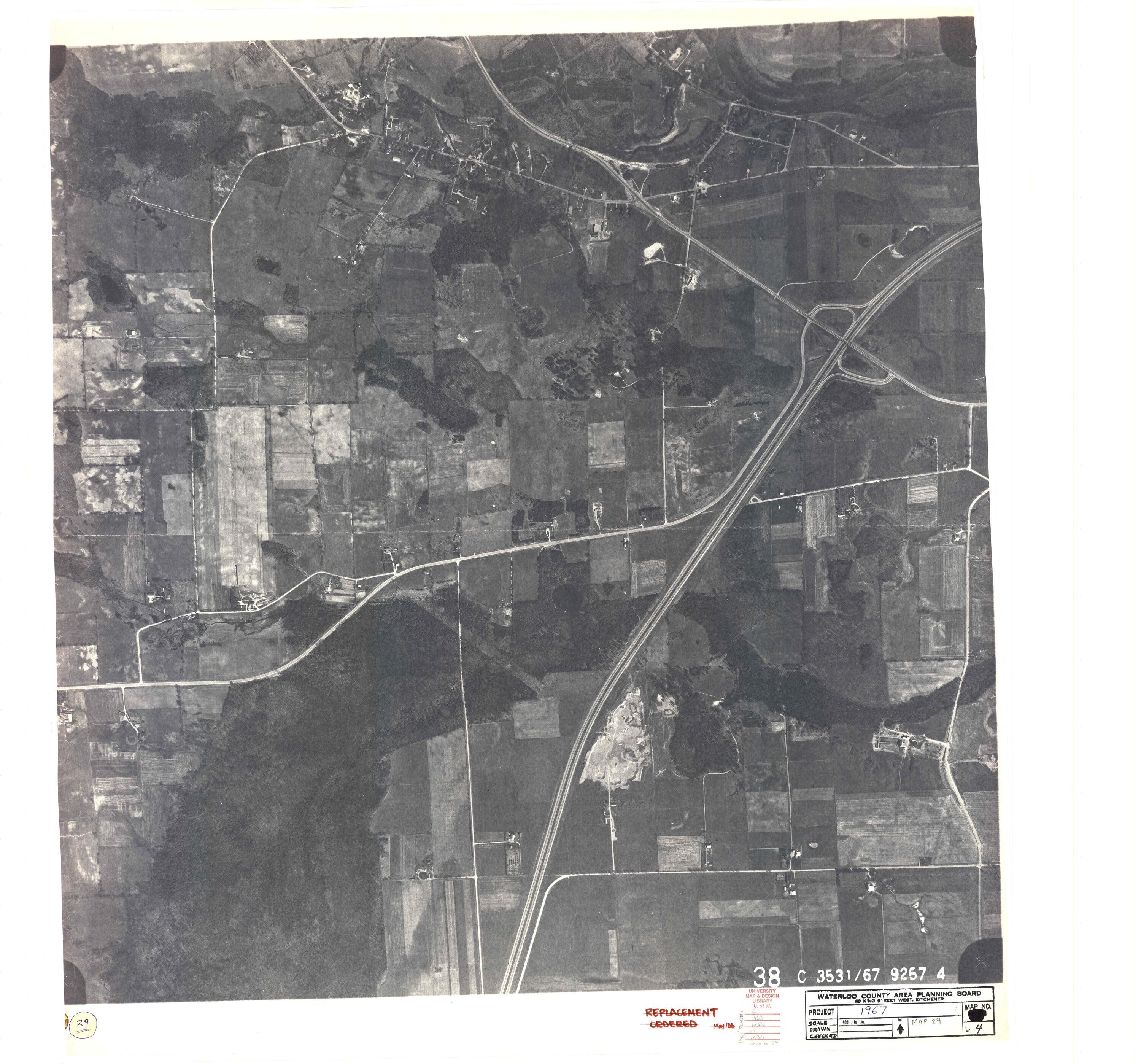
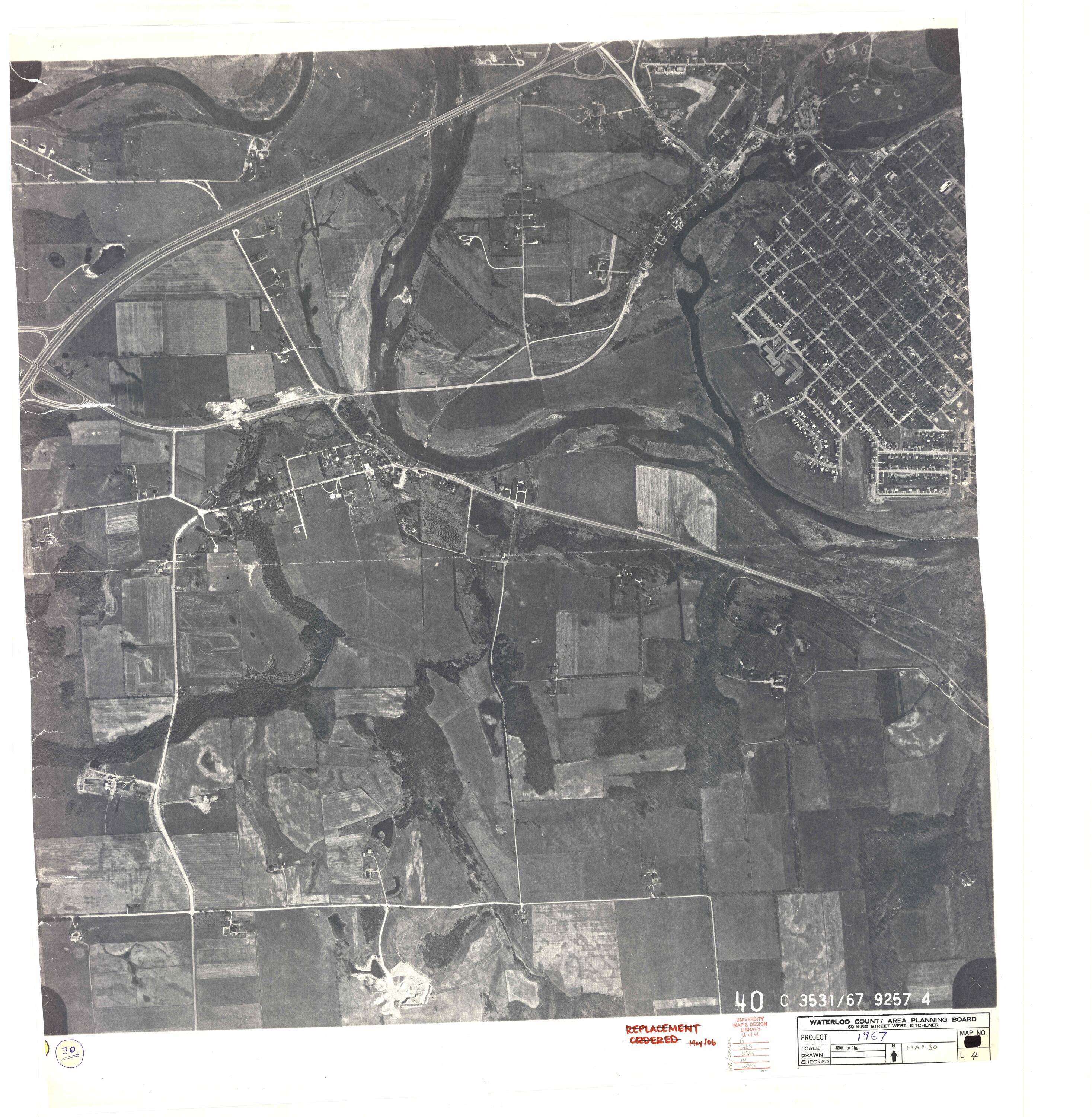
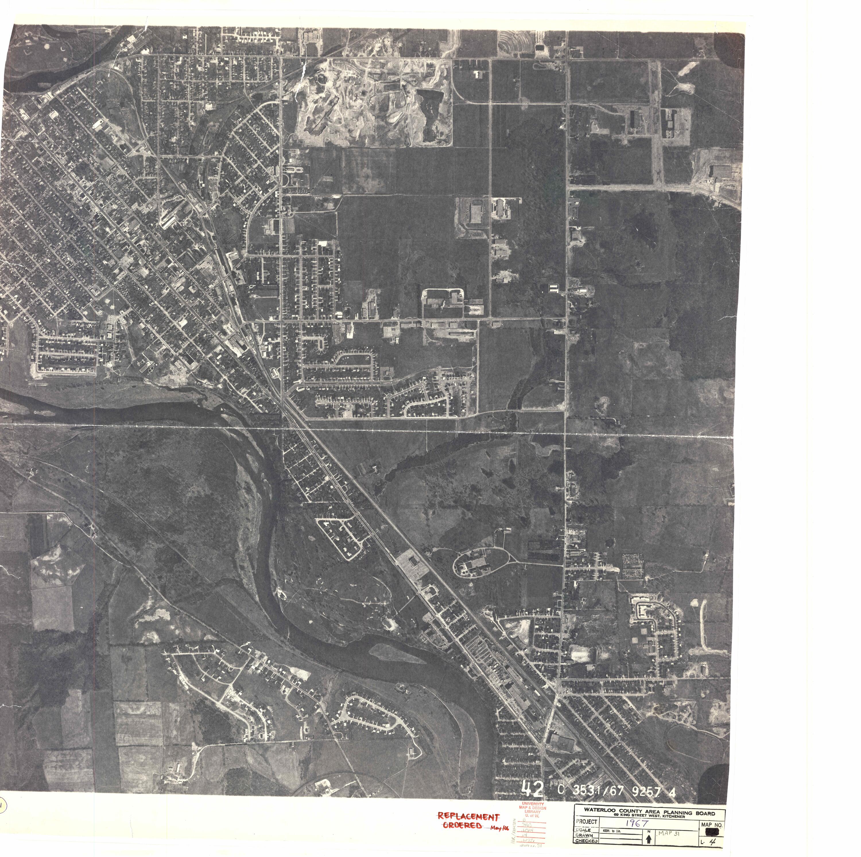
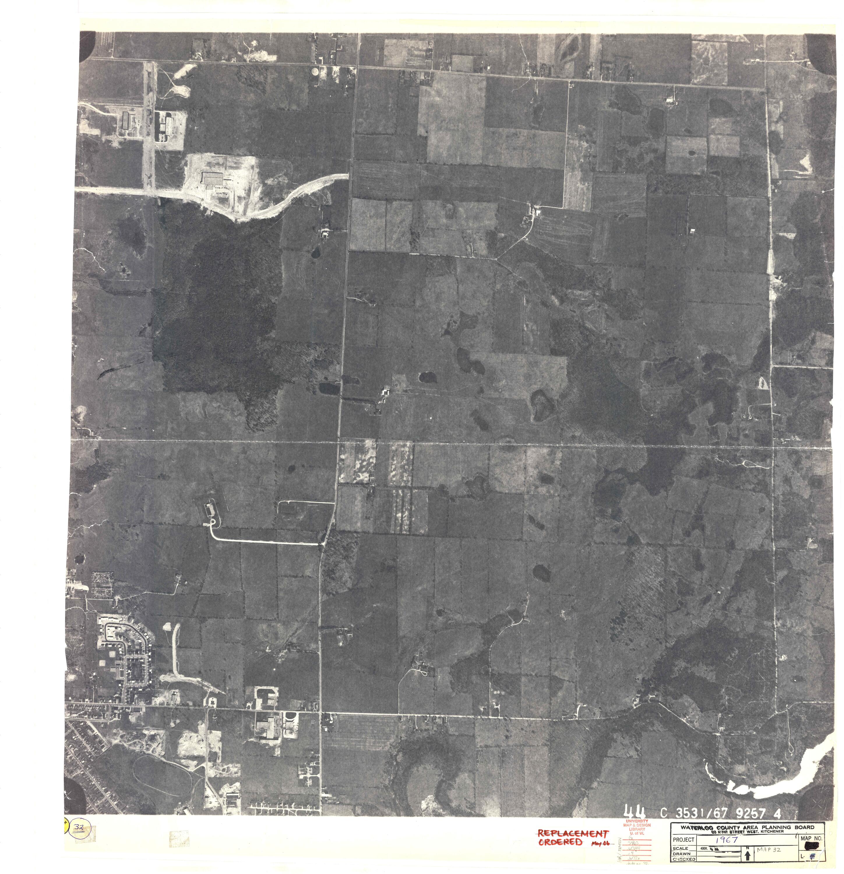
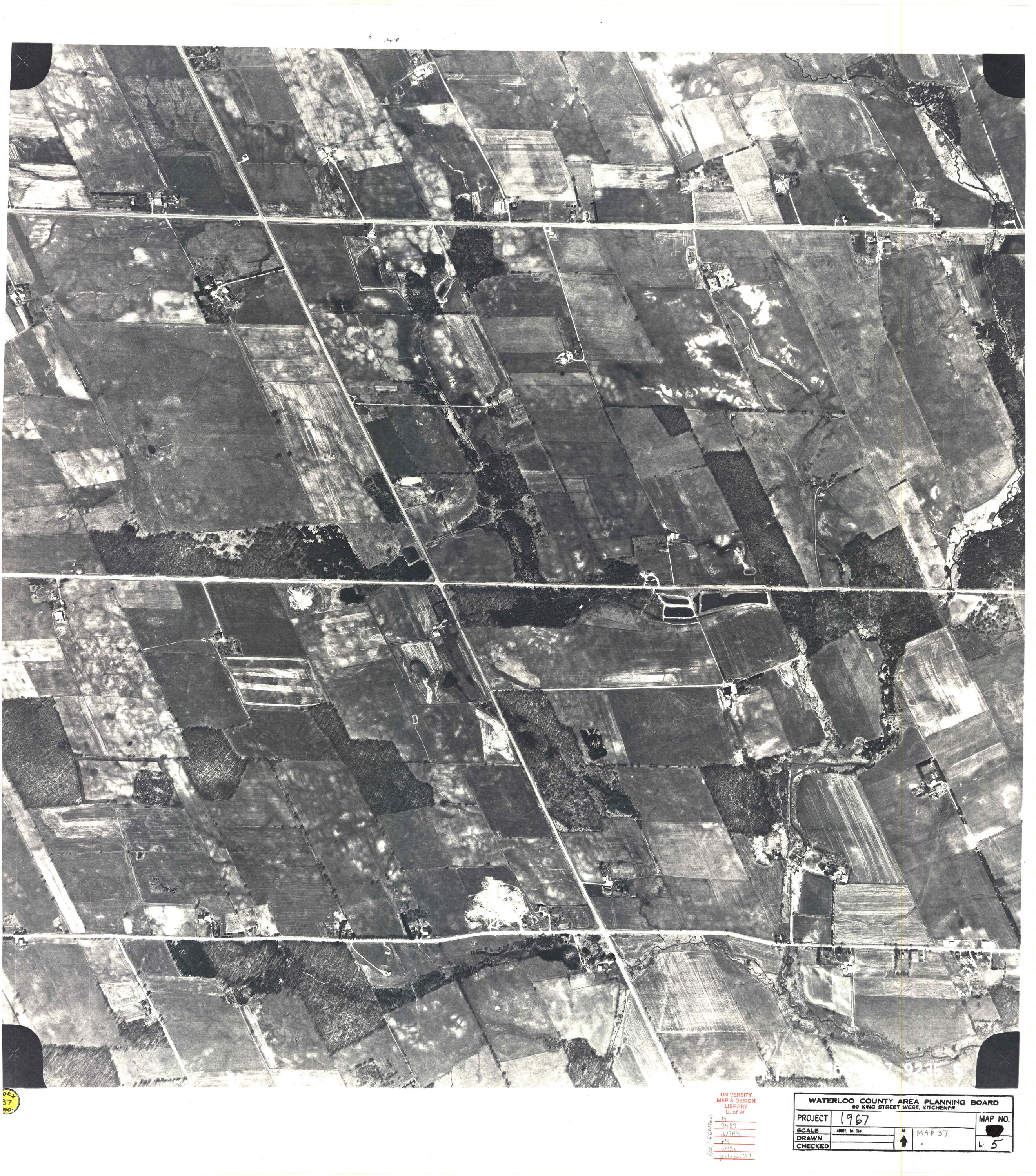
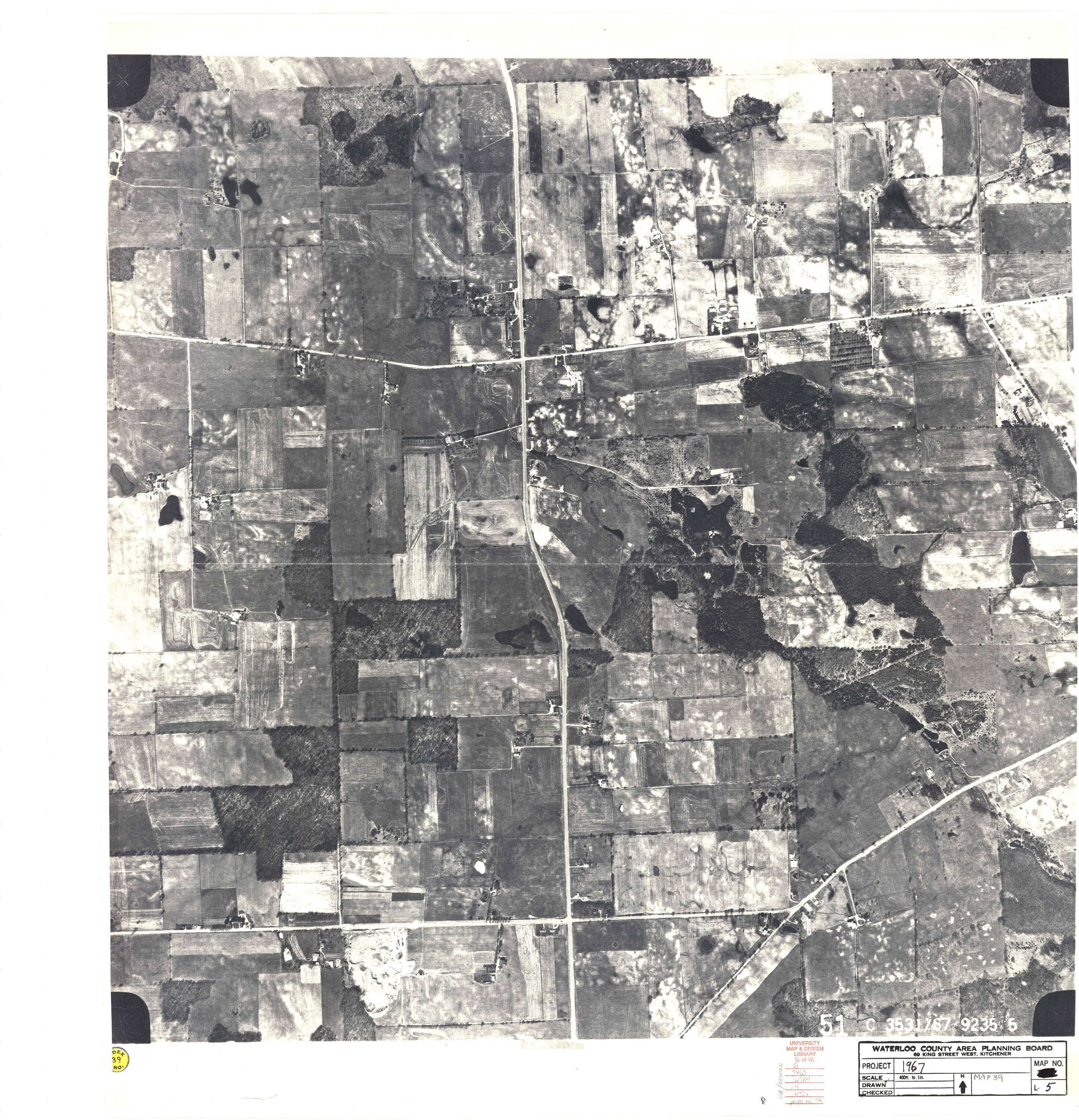
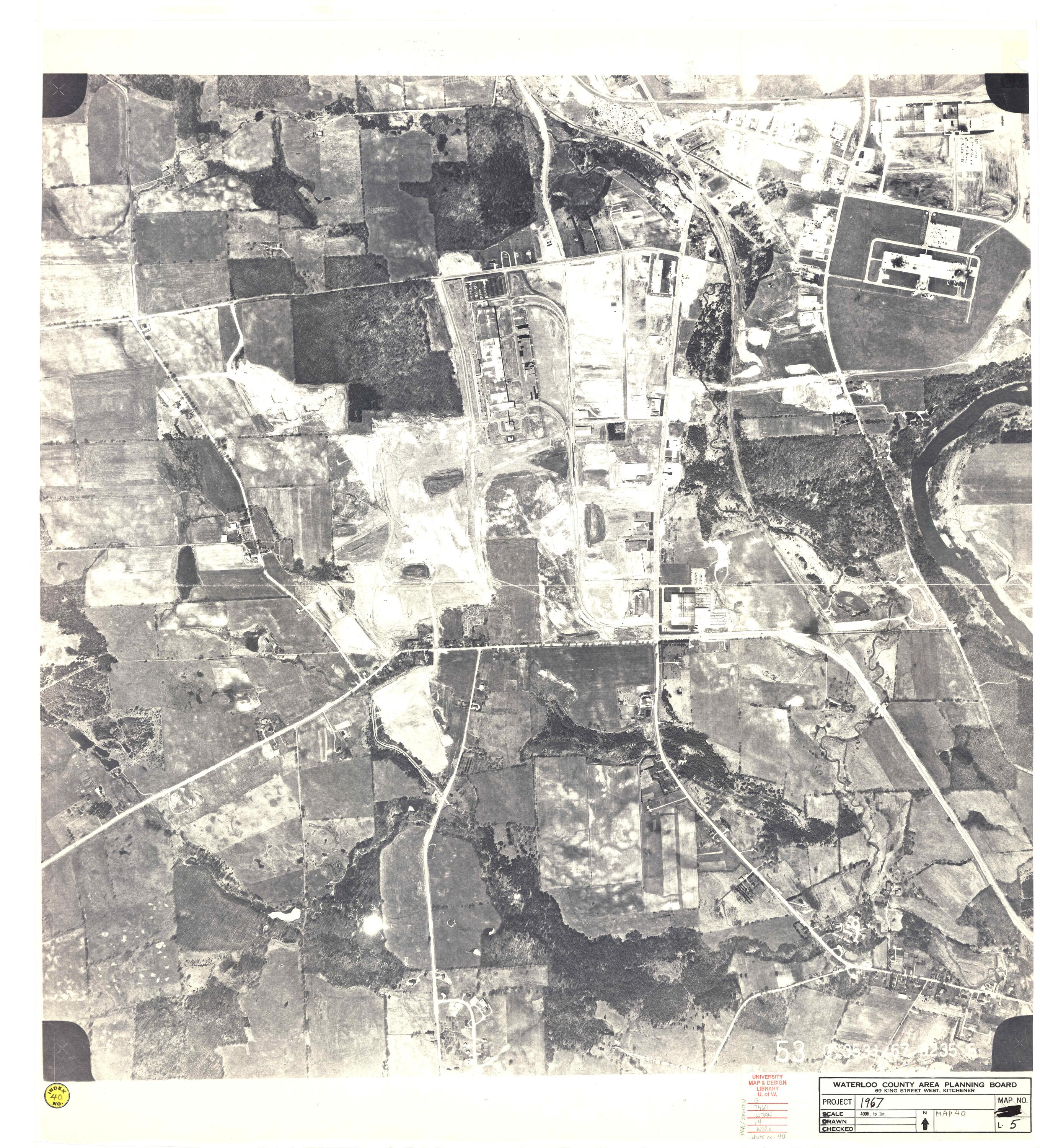
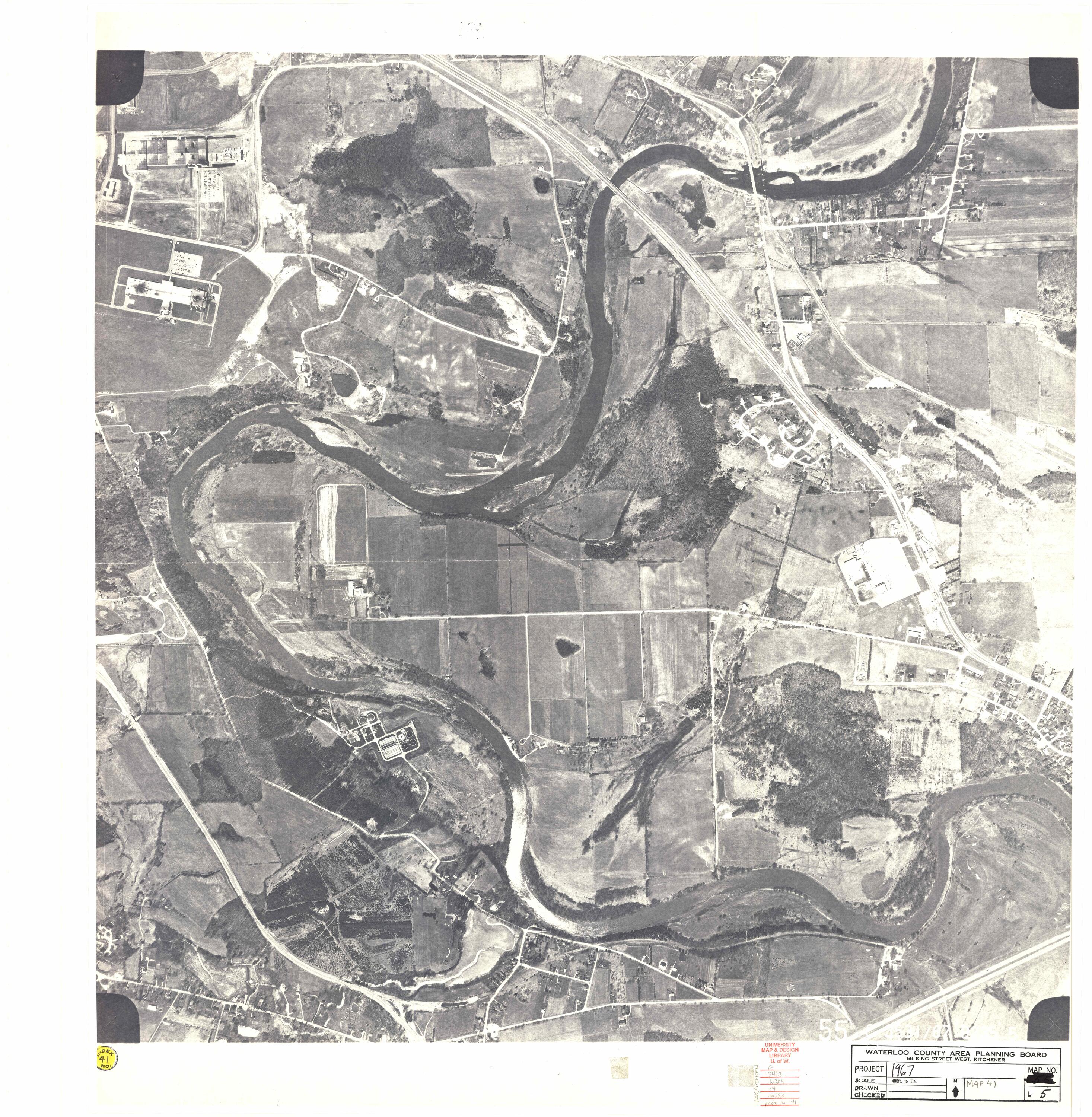
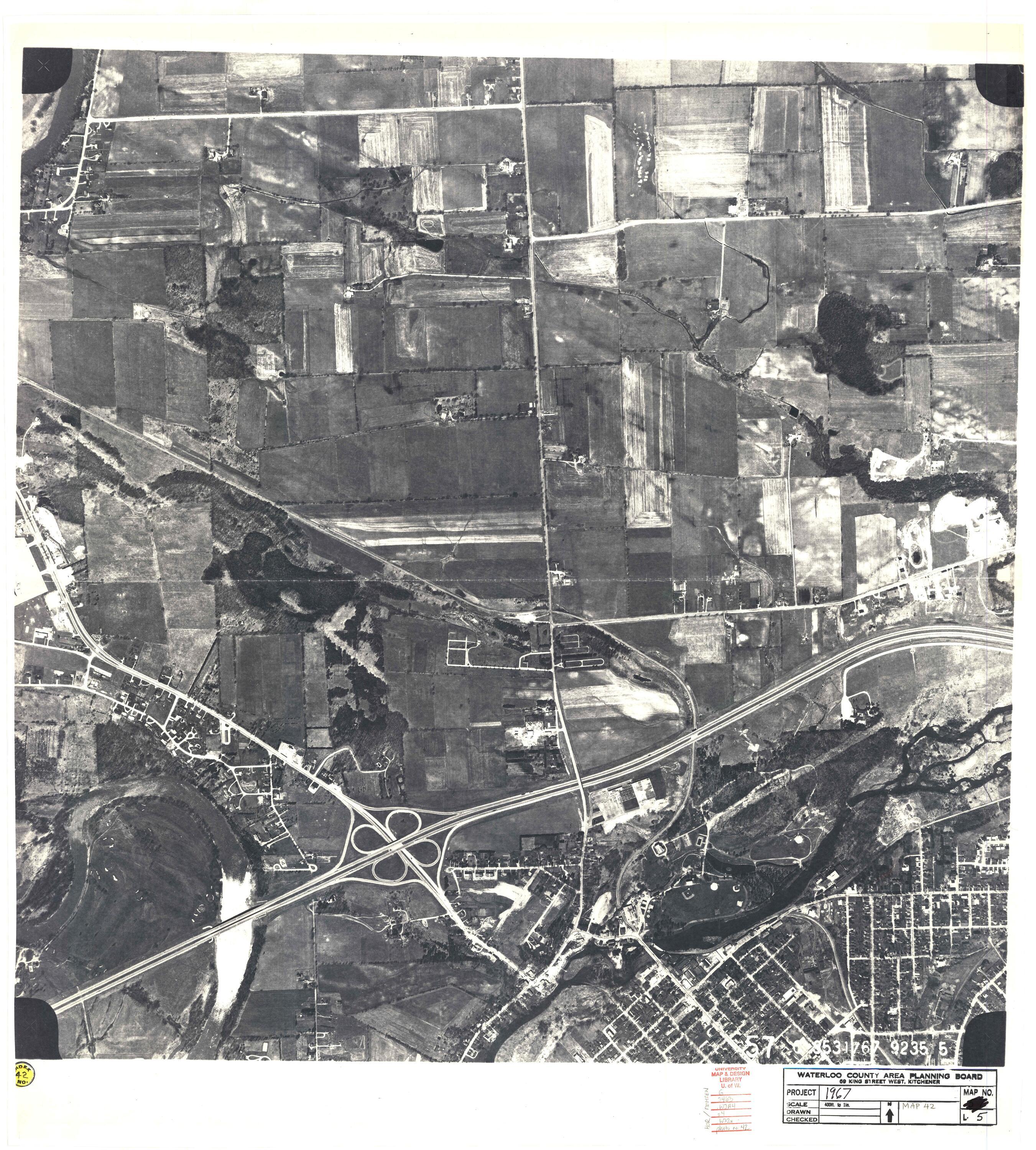
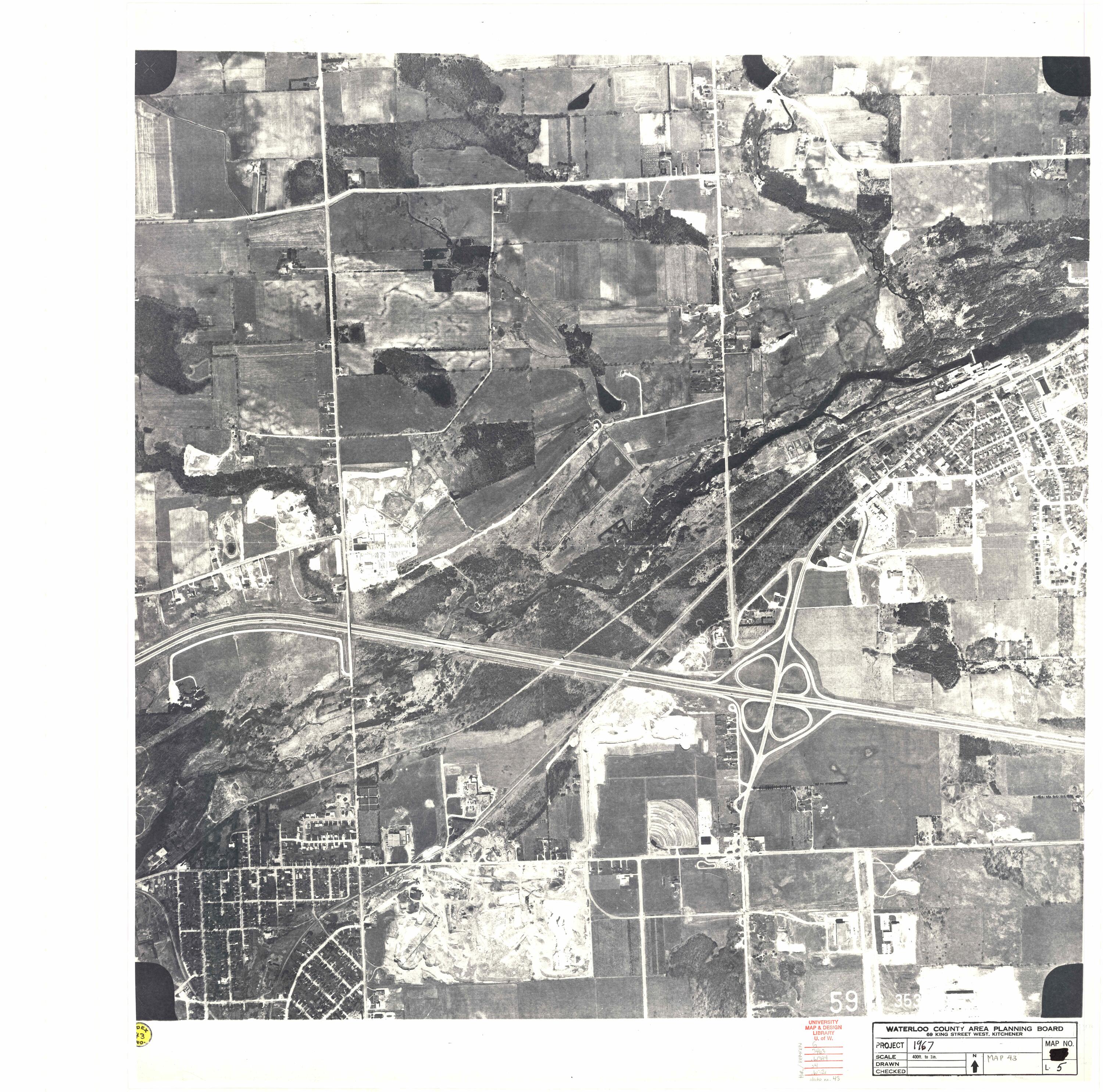
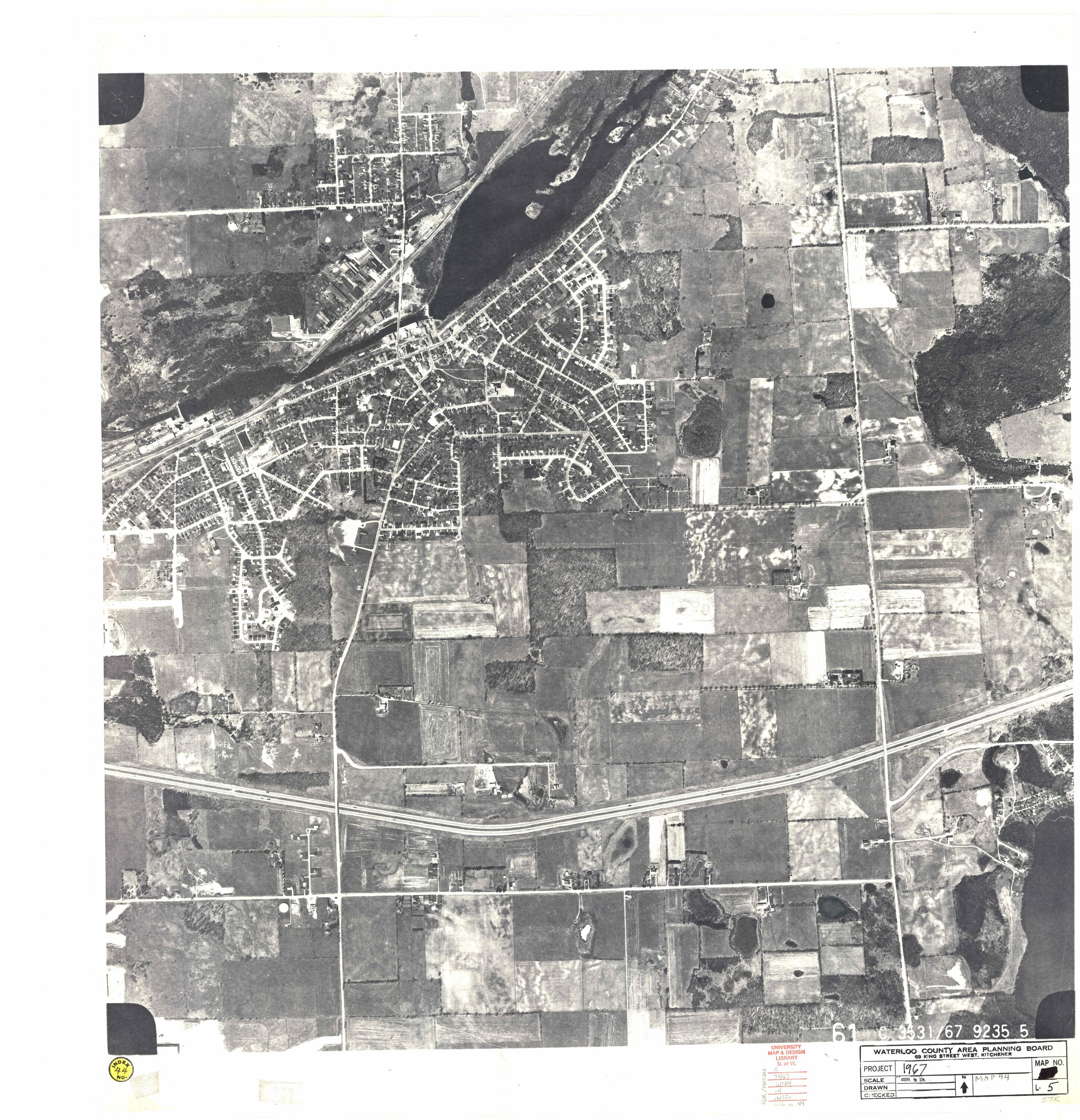
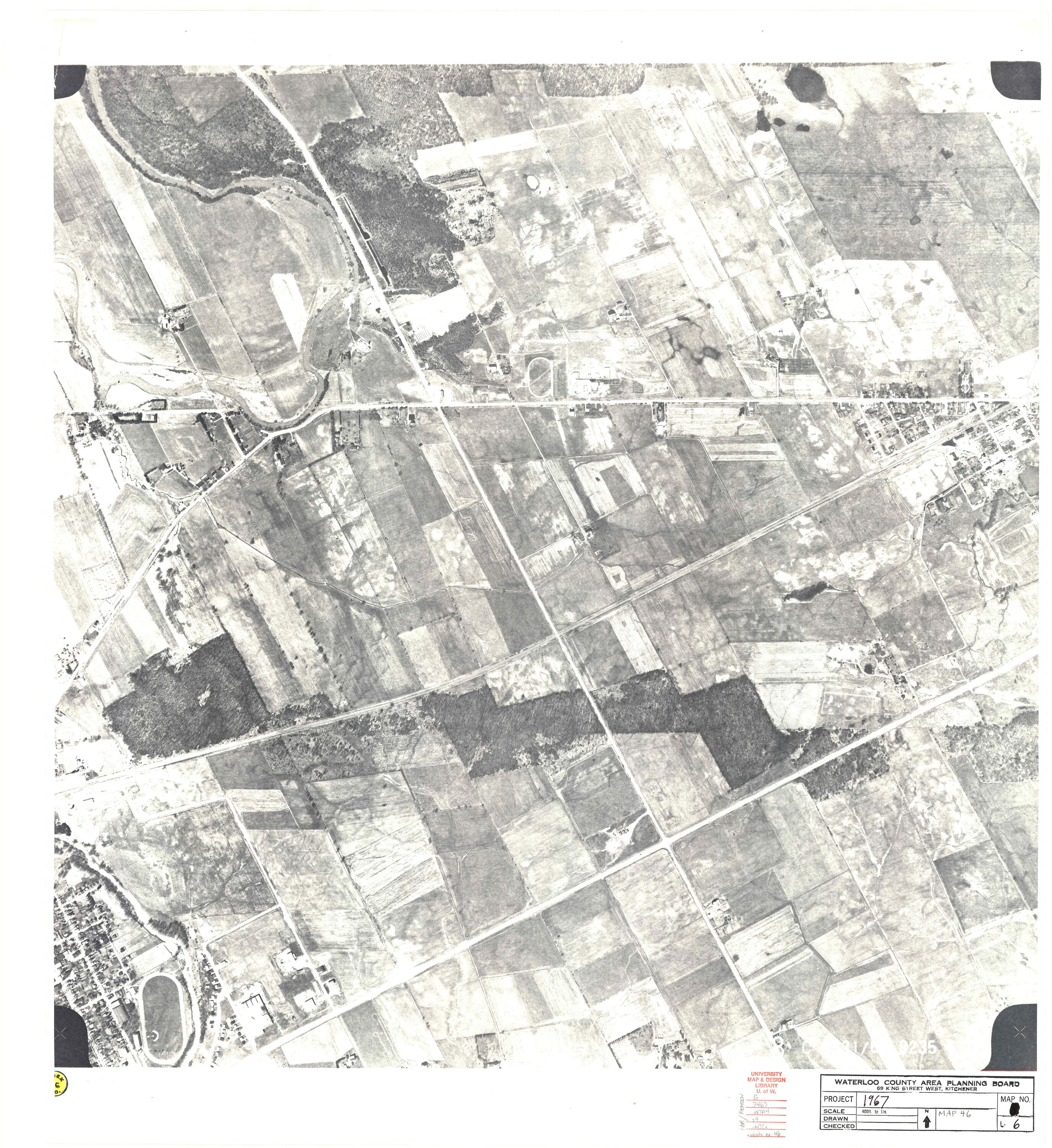
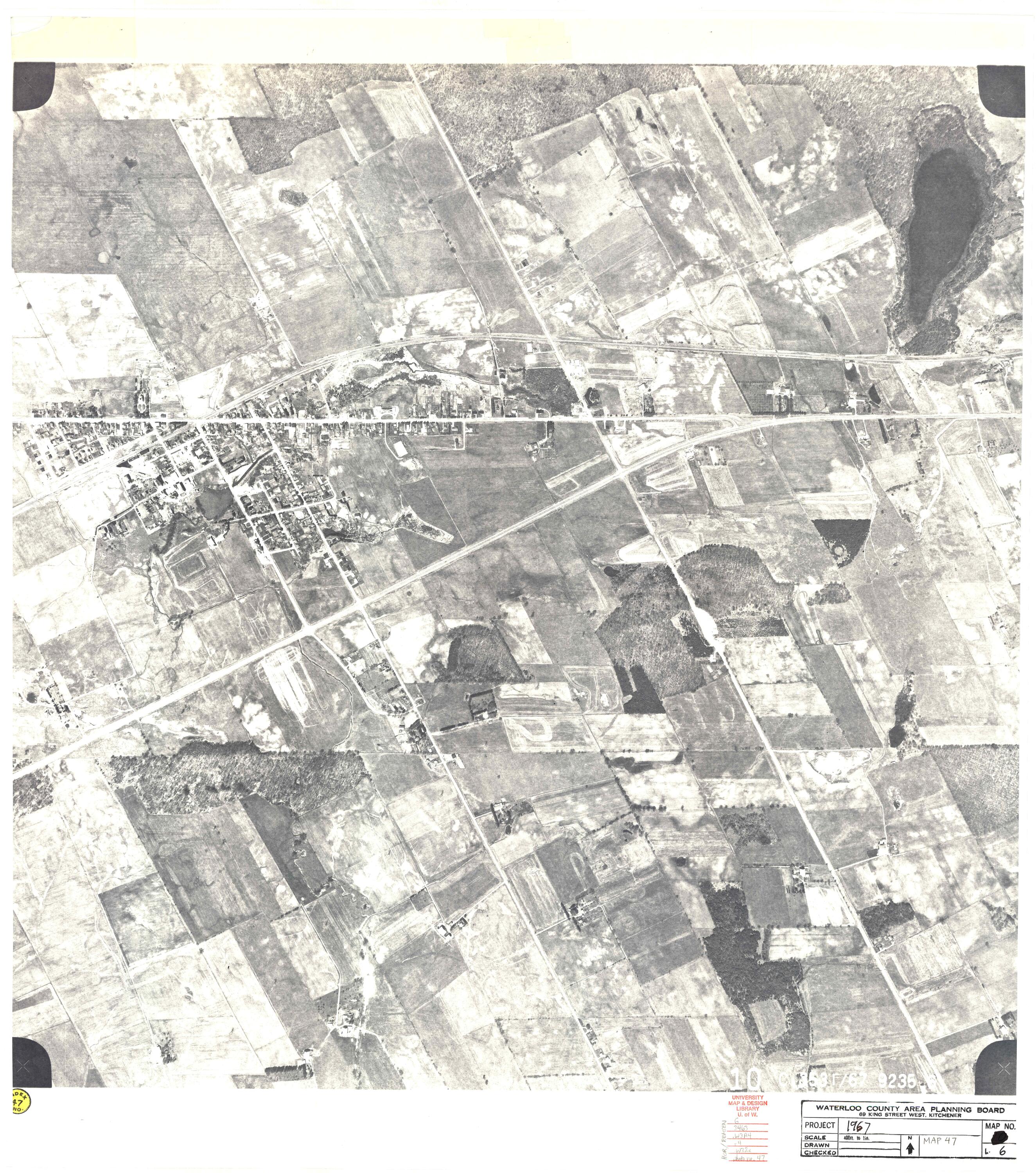
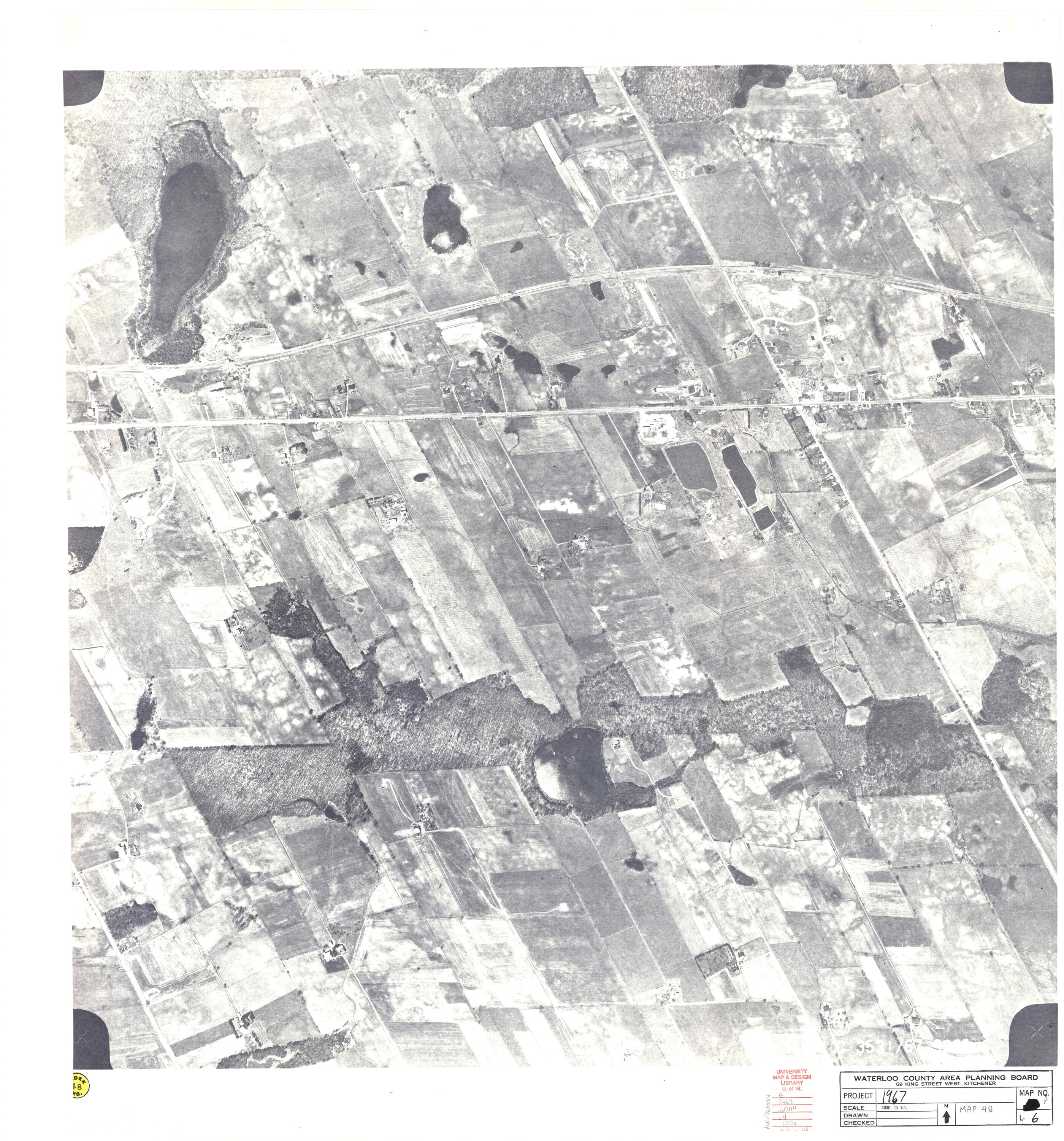
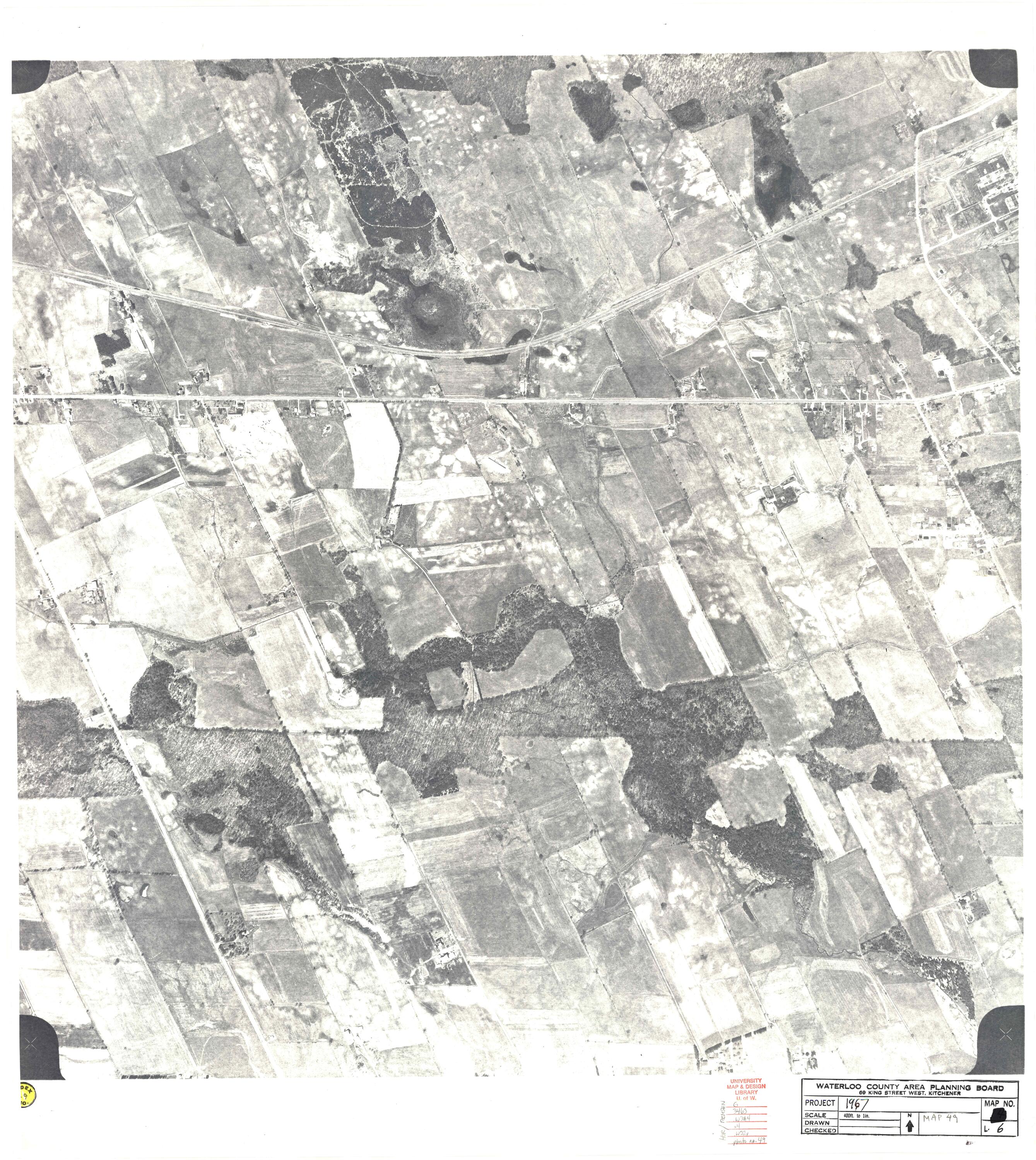
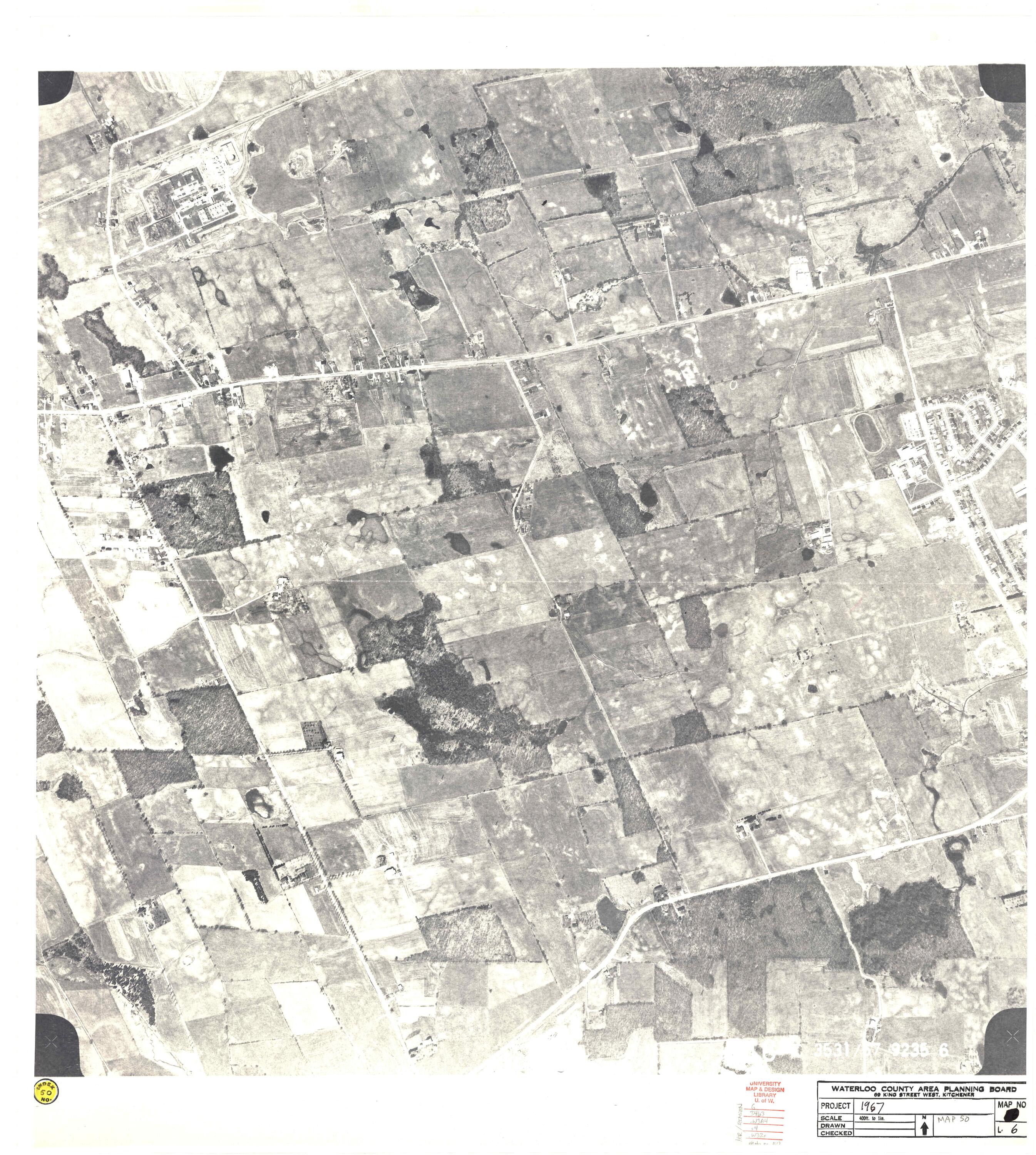
1967 Photomap Grid Index
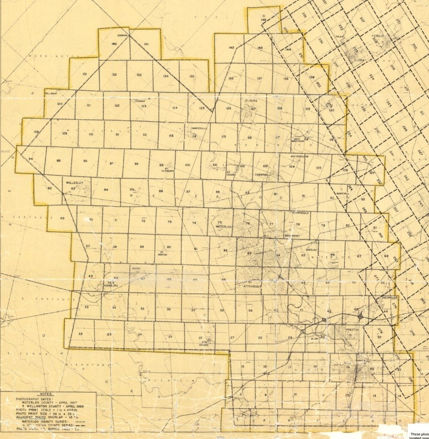
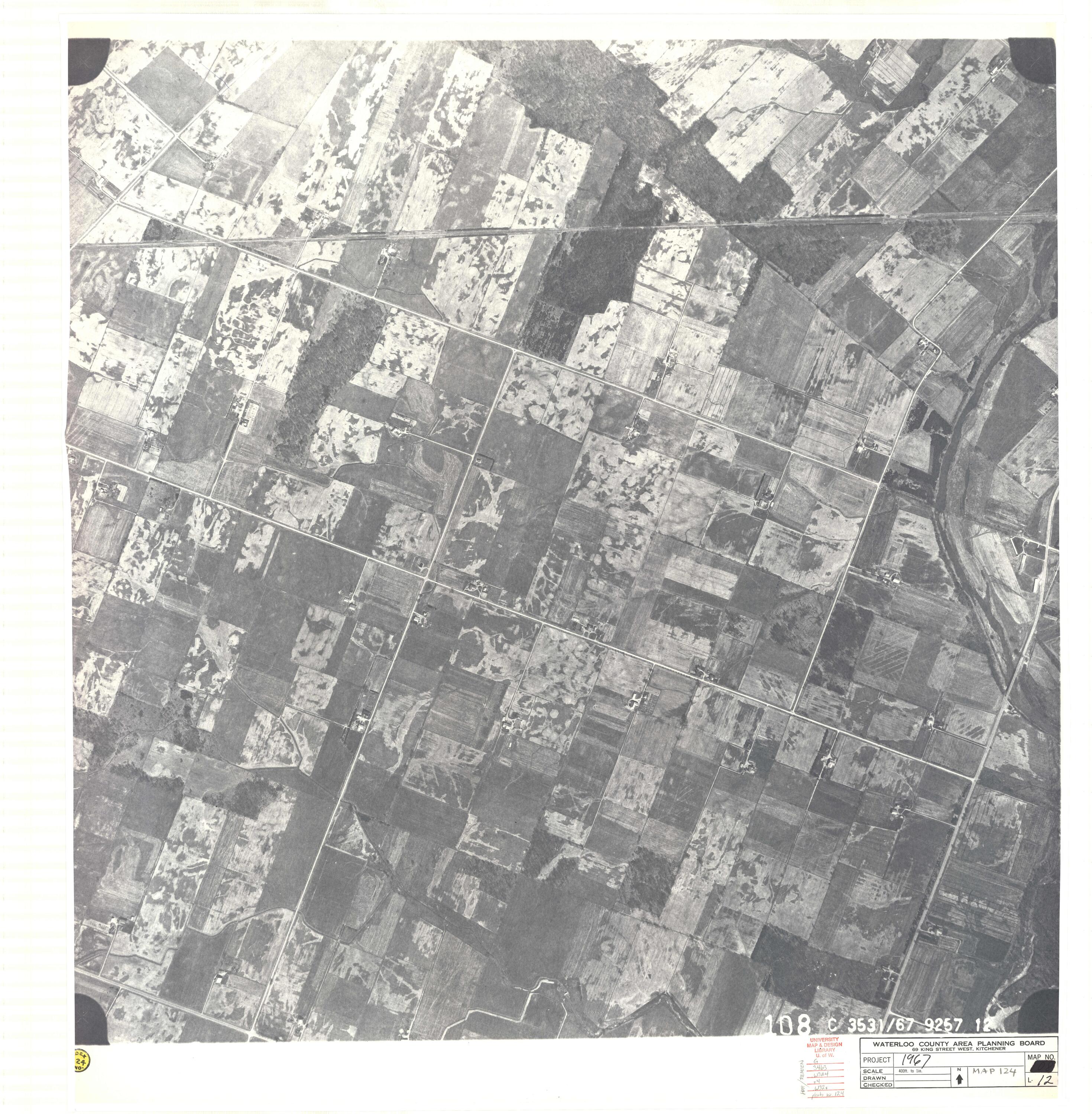
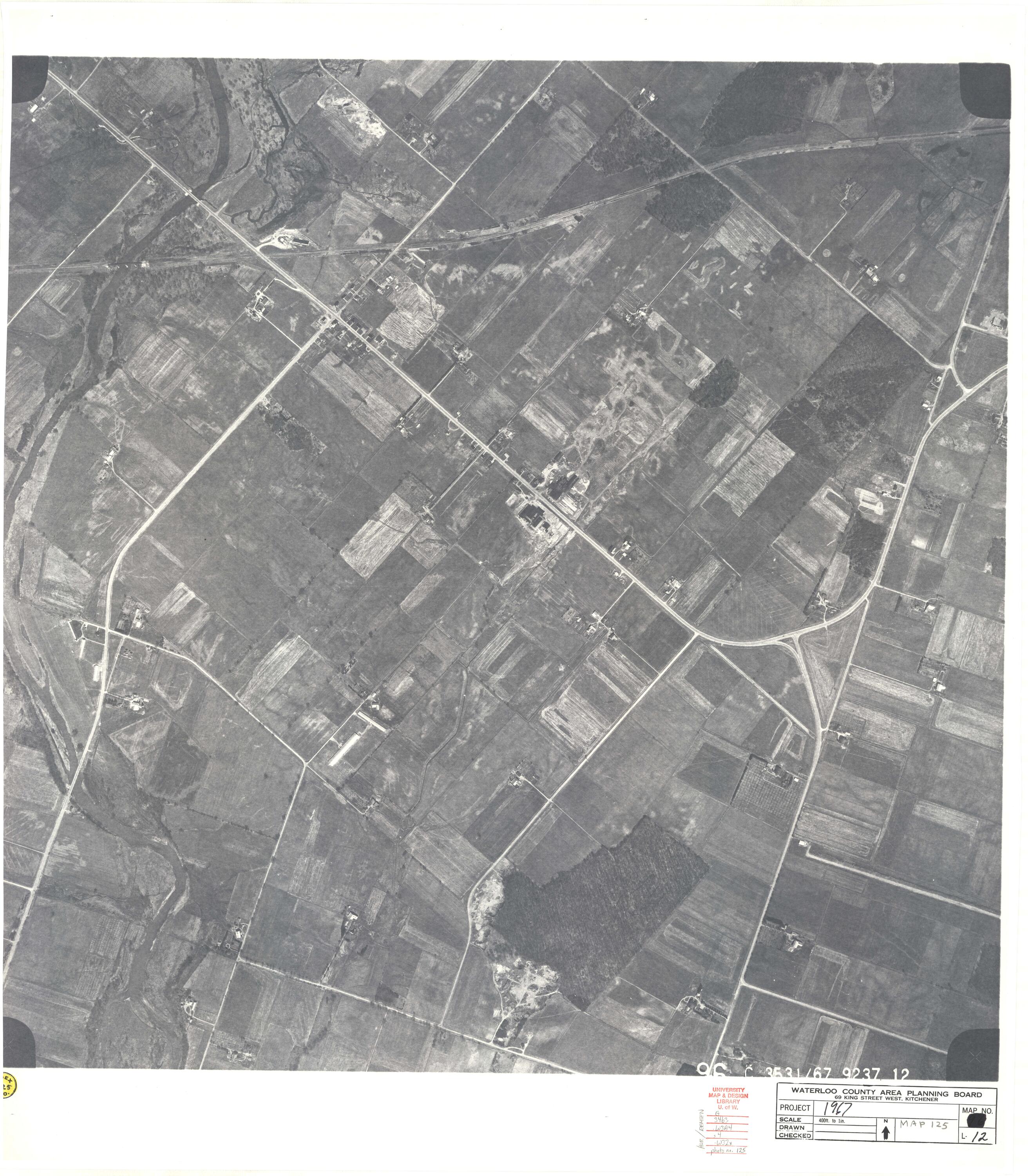
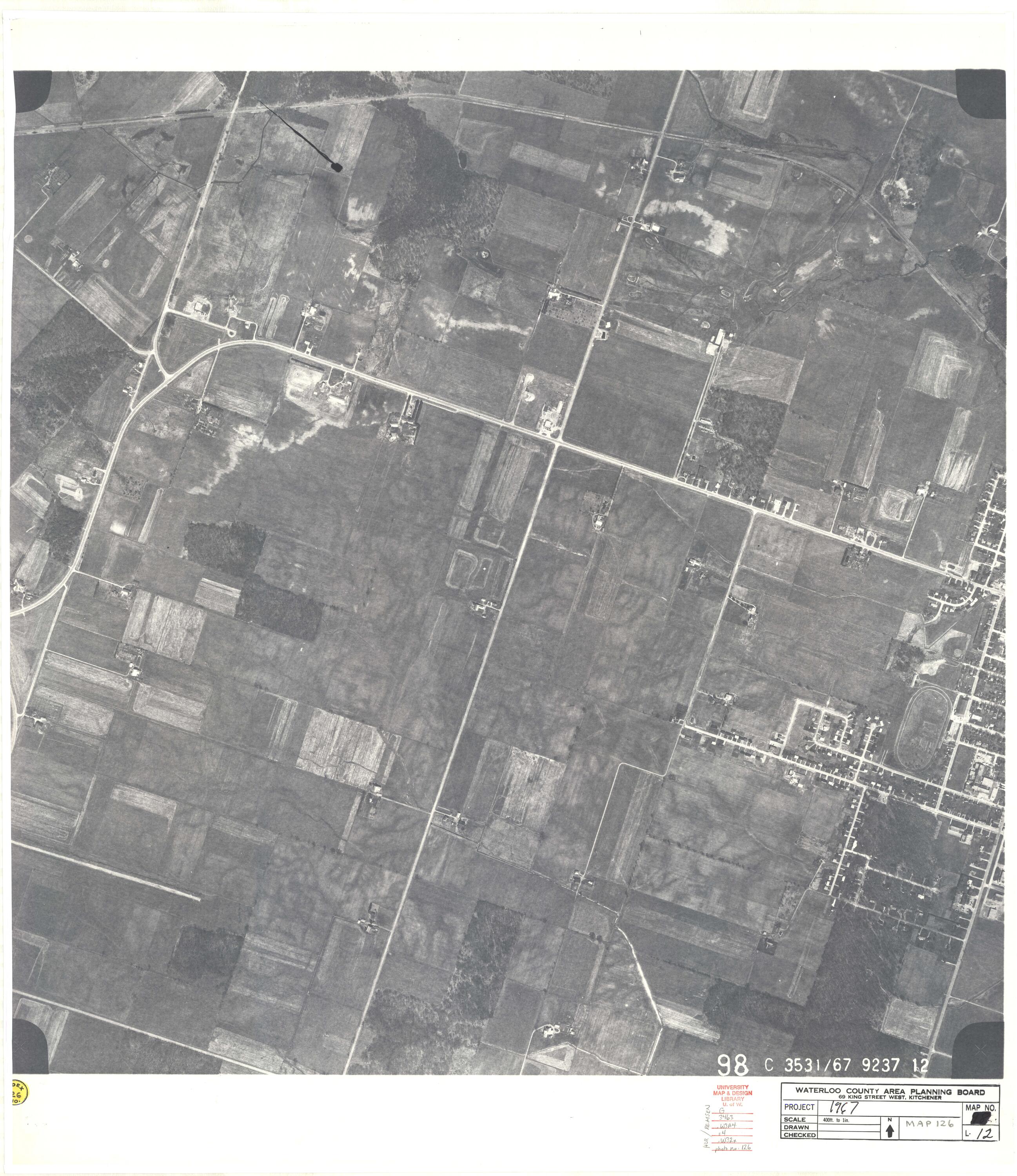
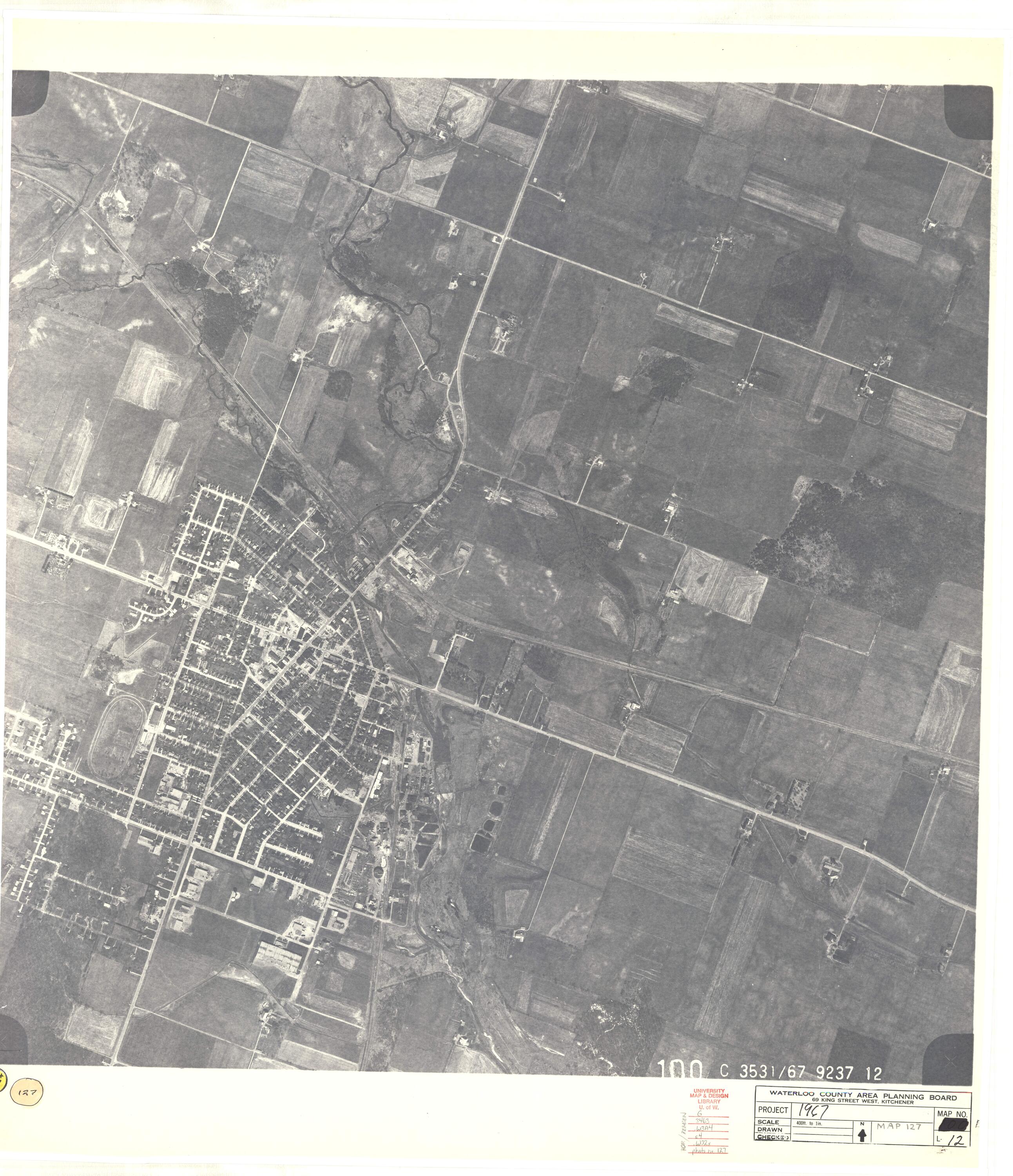
1967 Photomaps (Based on Grid Index Numbers)
| 1 2 3 4 5 | 6 7 8 9 10 | 11 12 13 14 15 | 16 17 18 19 20 | 21 22 23 24 25 | 26 27 28 29 30 | 31 32 33 34 35 | 36 37 38 39 40 | 41 42 43 44 45 |
| 46 47 48 49 50 | 51 52 53 54 55 | 56 57 58 59 60 | 61 62 63 64 65 | 66 67 68 69 70 | 71 72 73 74 75 | 76 77 78 79 80 | 81 82 83 84 85 | 86 87 88 89 90 |
| 91 92 93 94 | 95 96 97 | 98 99 100 | 101 102 103 | 104 105 106 | 107 108 109 | 110 111 112 | 113 114 115 | 116 117 118 |
| 119 120 121 | 122 123 124 | 125 126 127 | 128 129 130 | 131 132 133 | 134 135 136 | 137 138 139 | 140 141 142 | 143 144 145 |
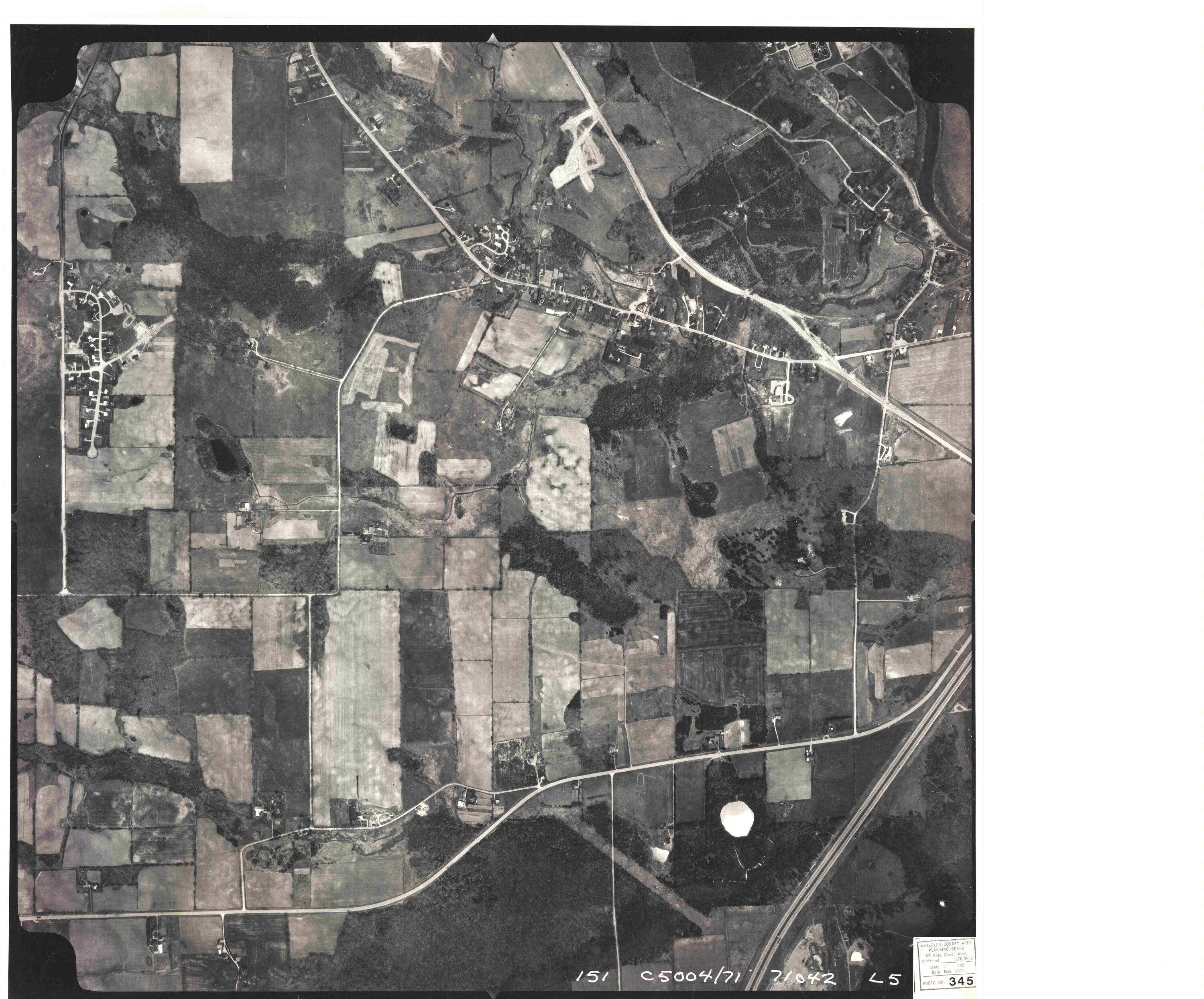
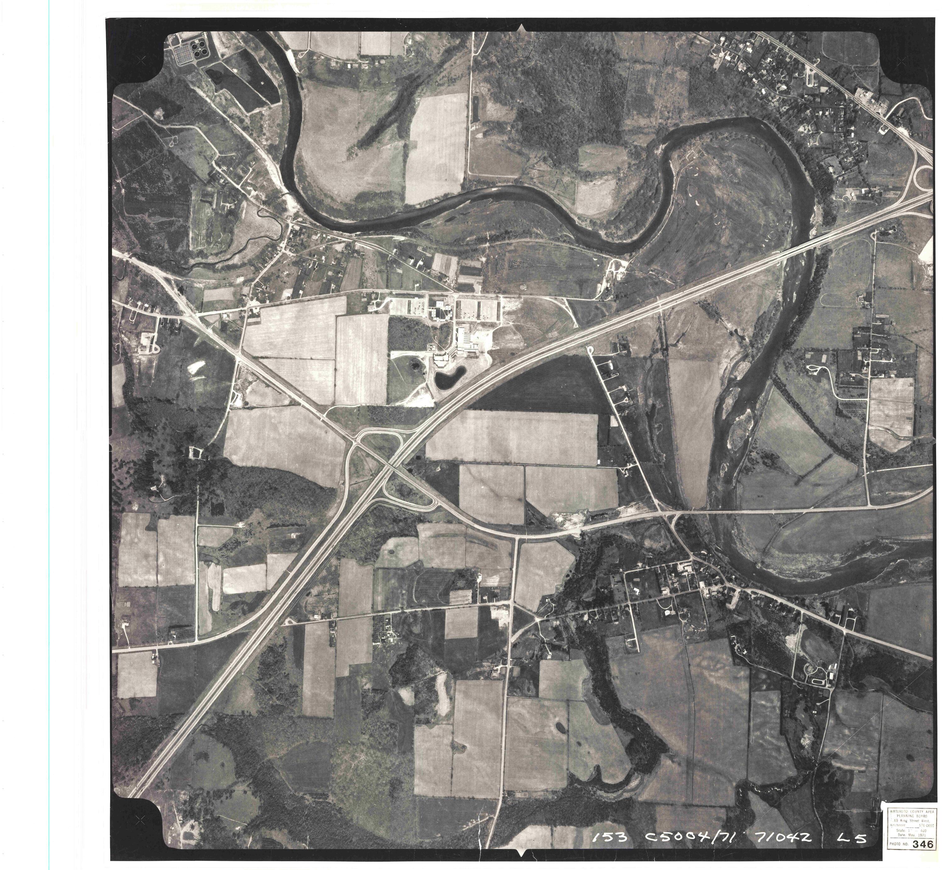
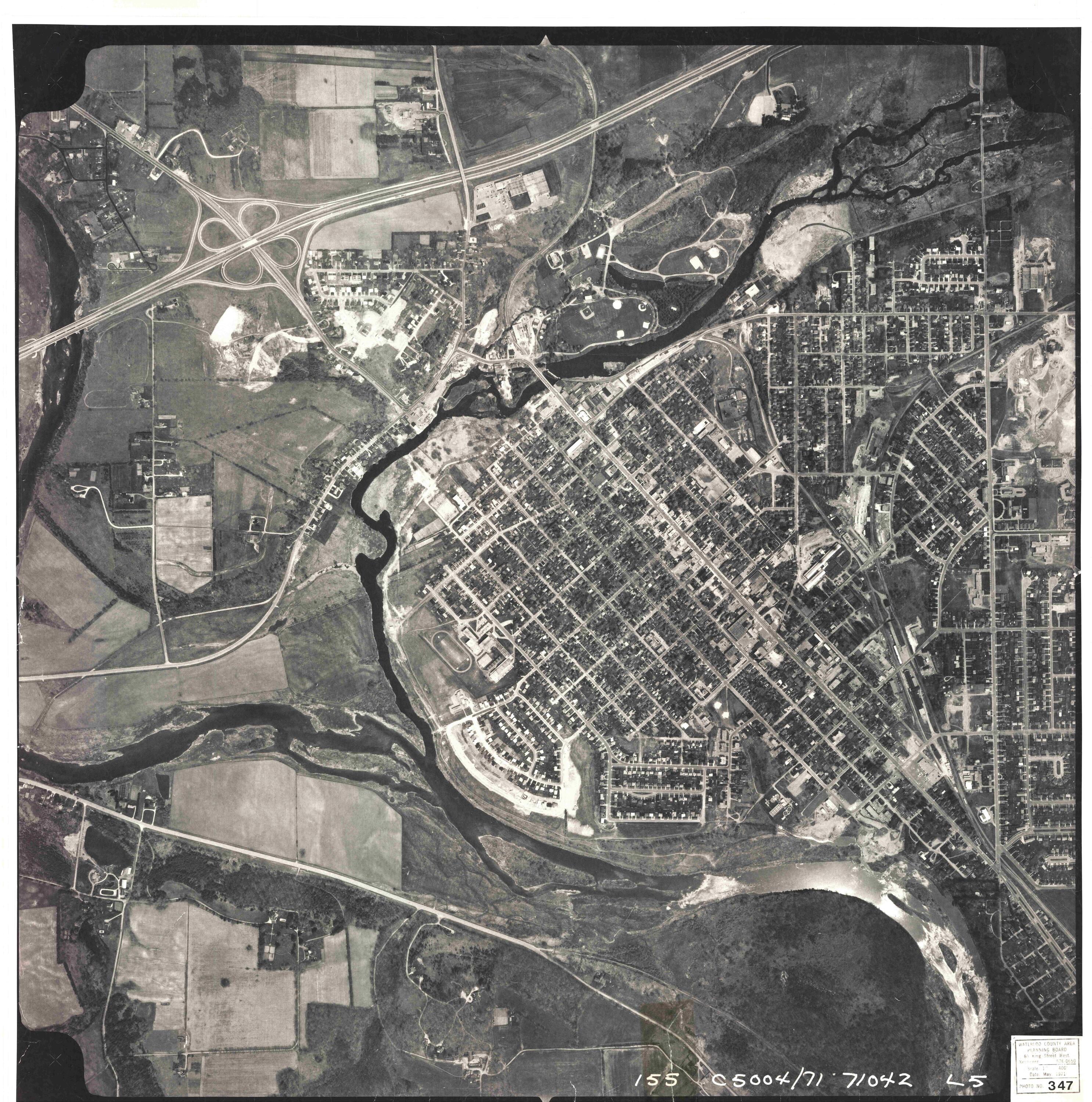
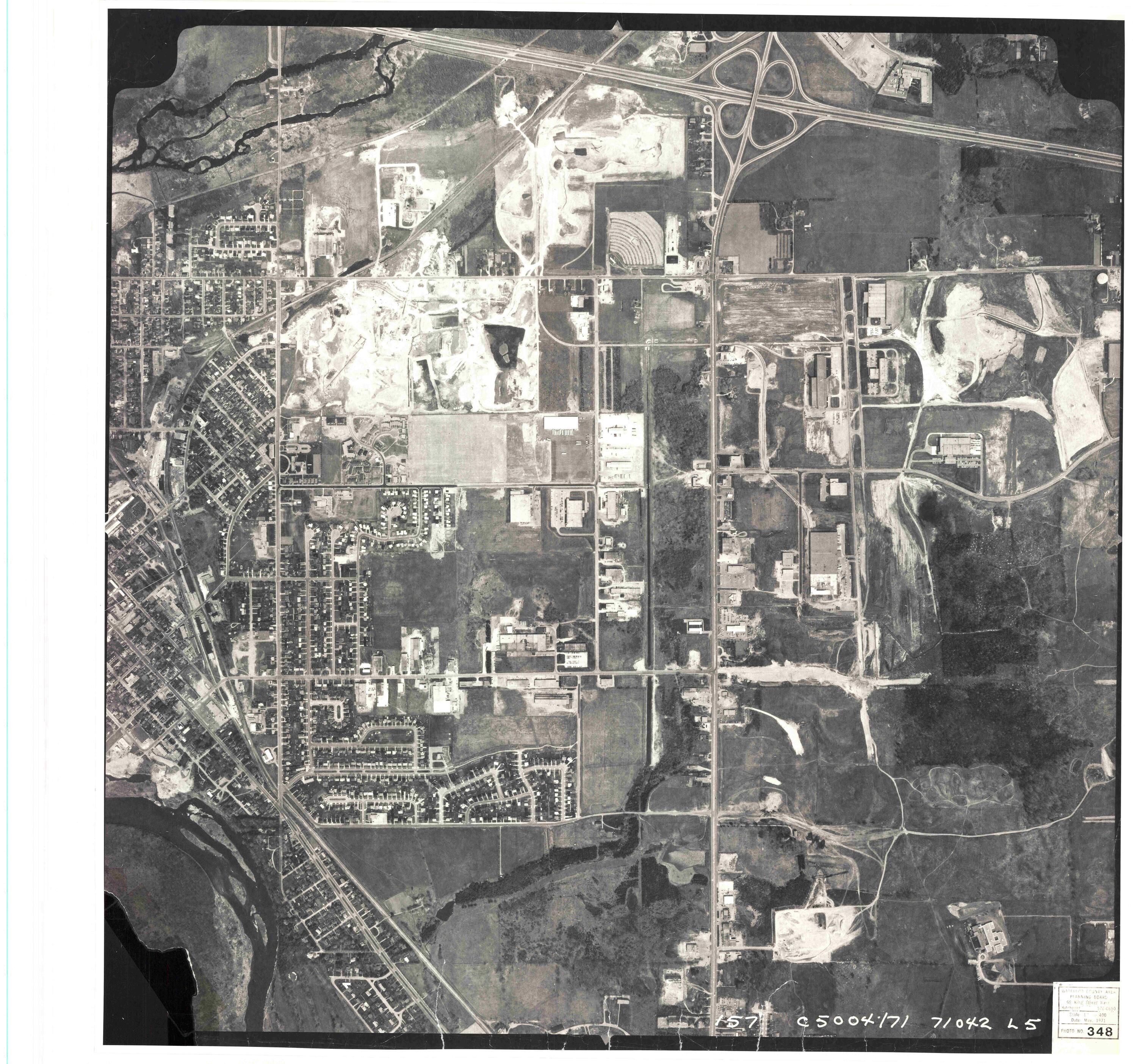
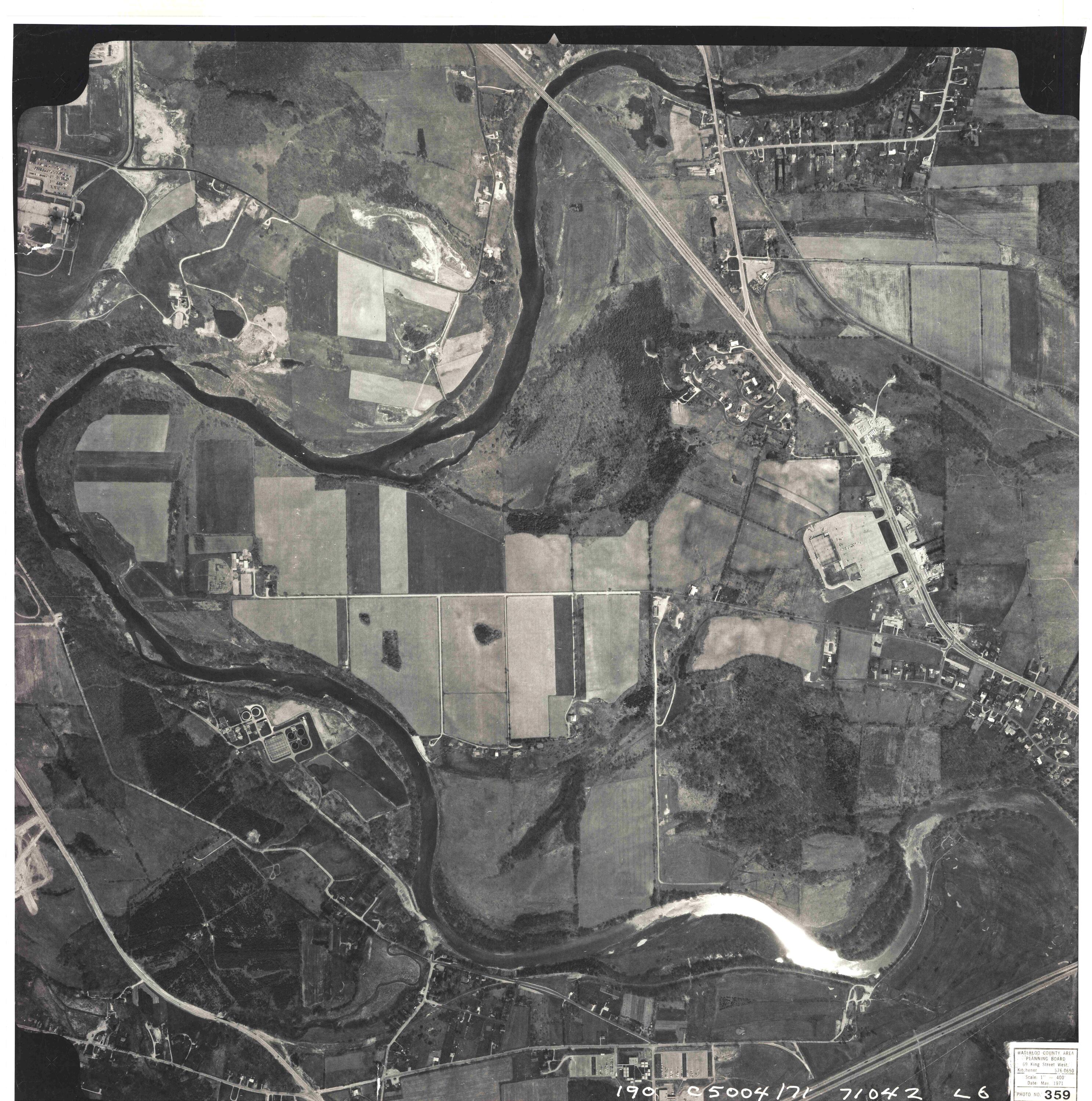
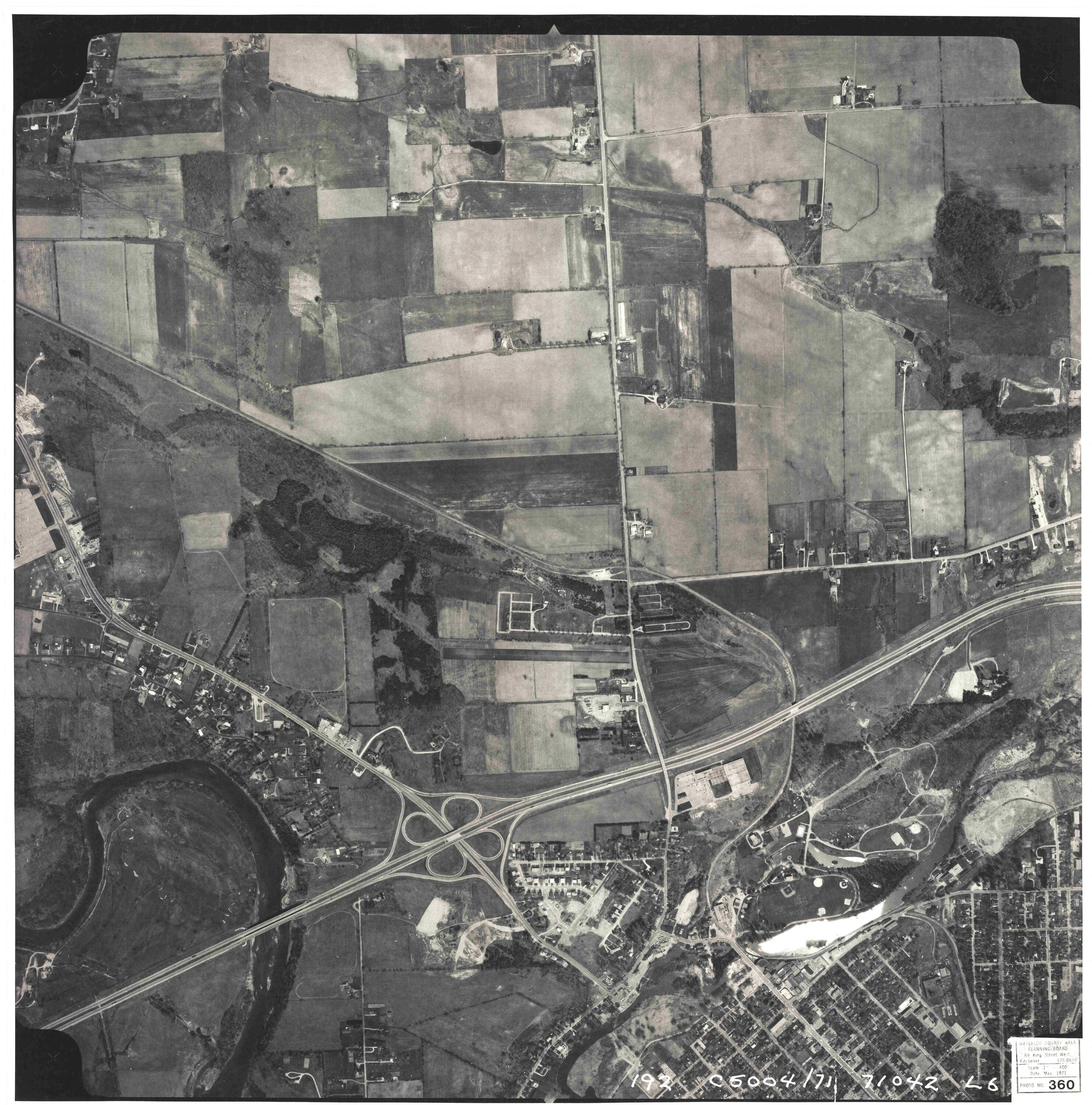
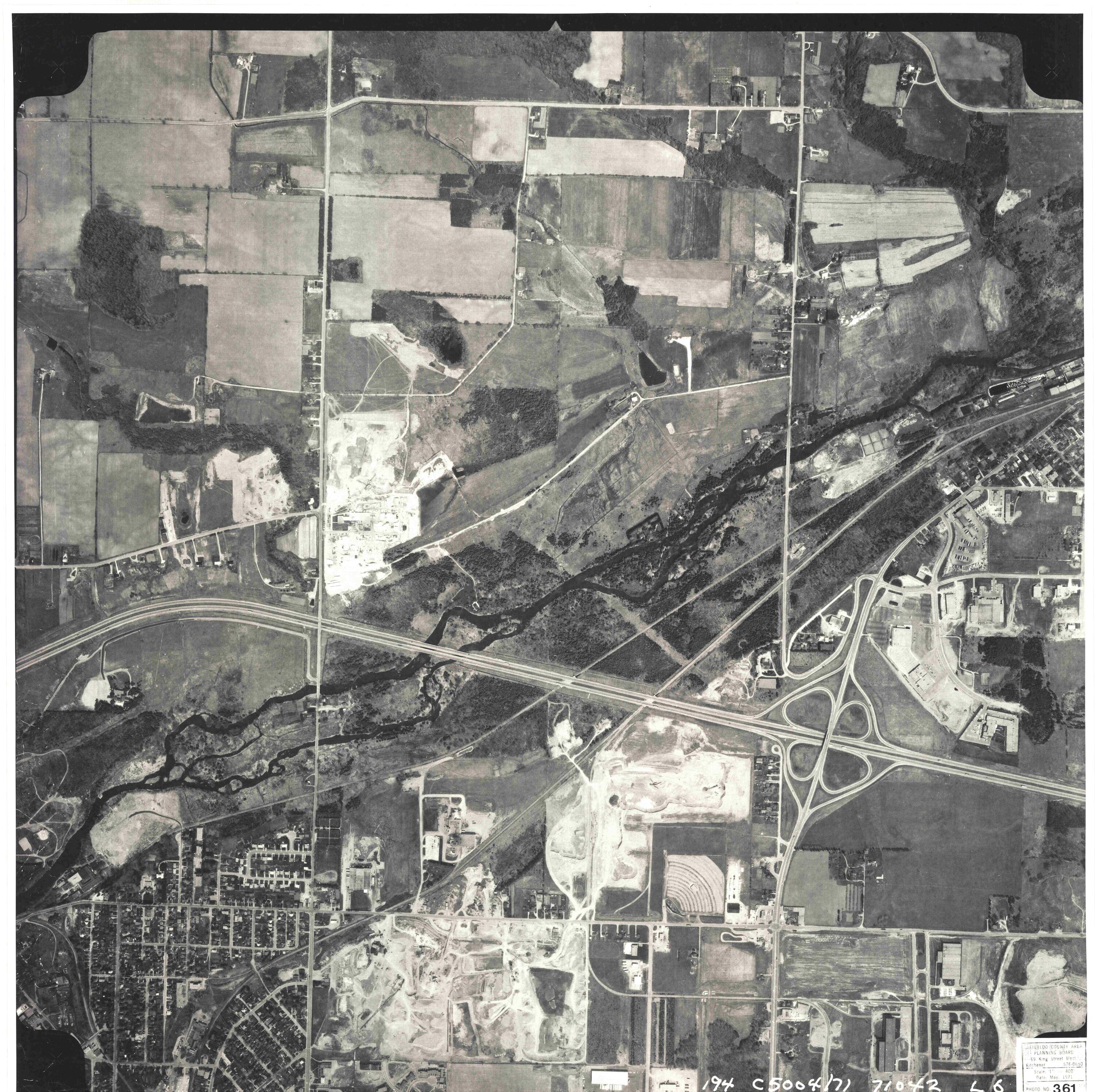
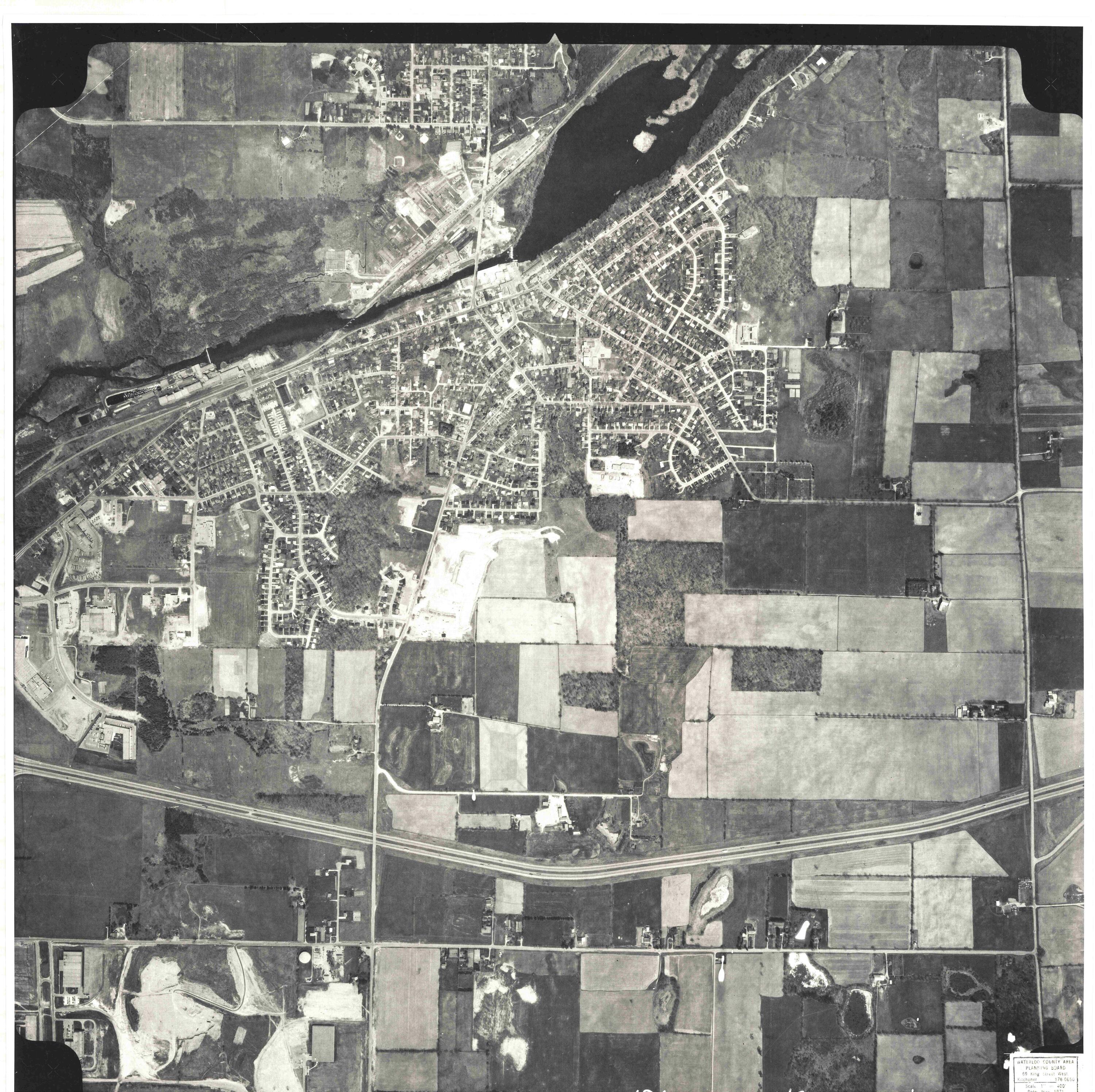
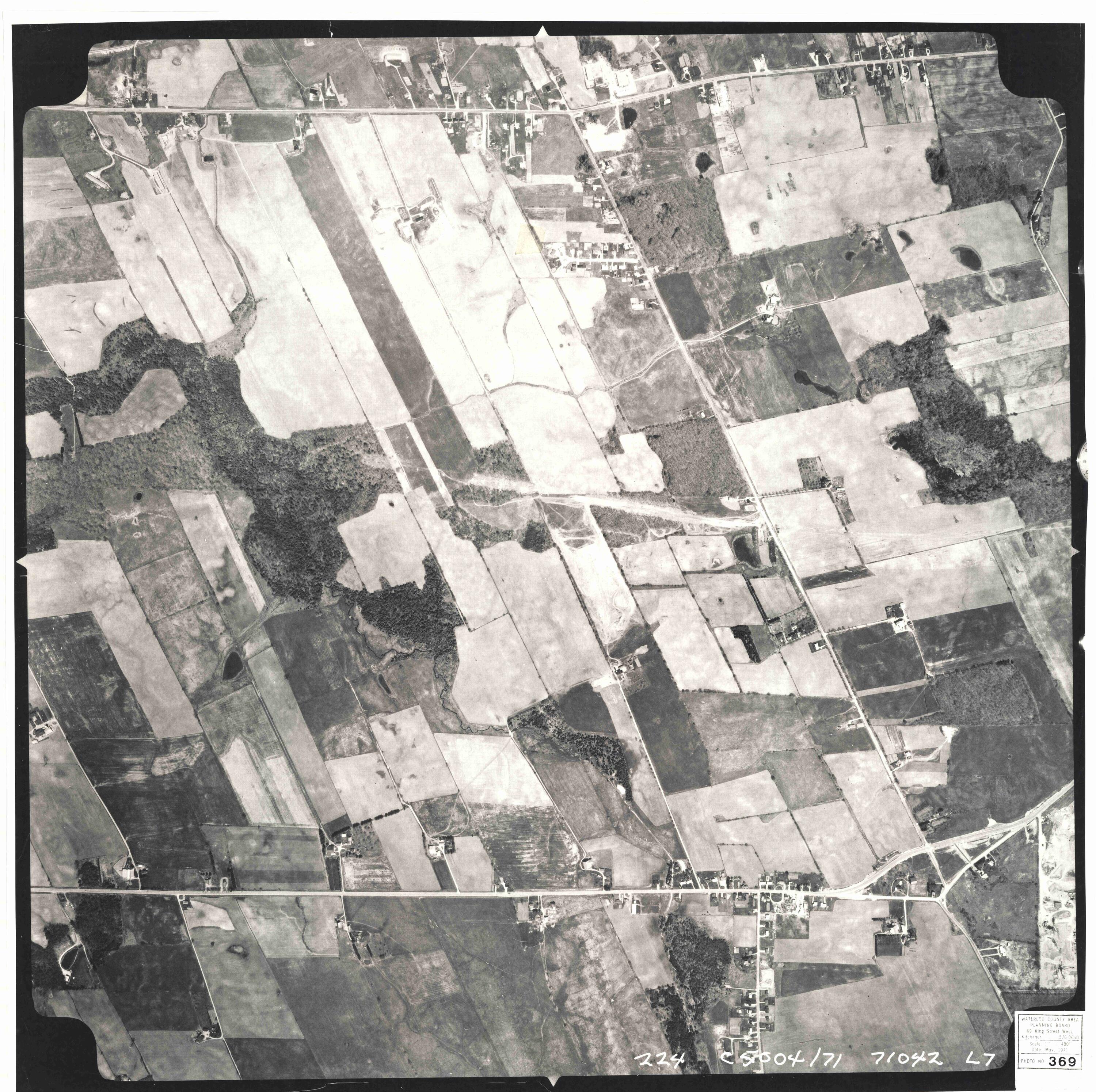
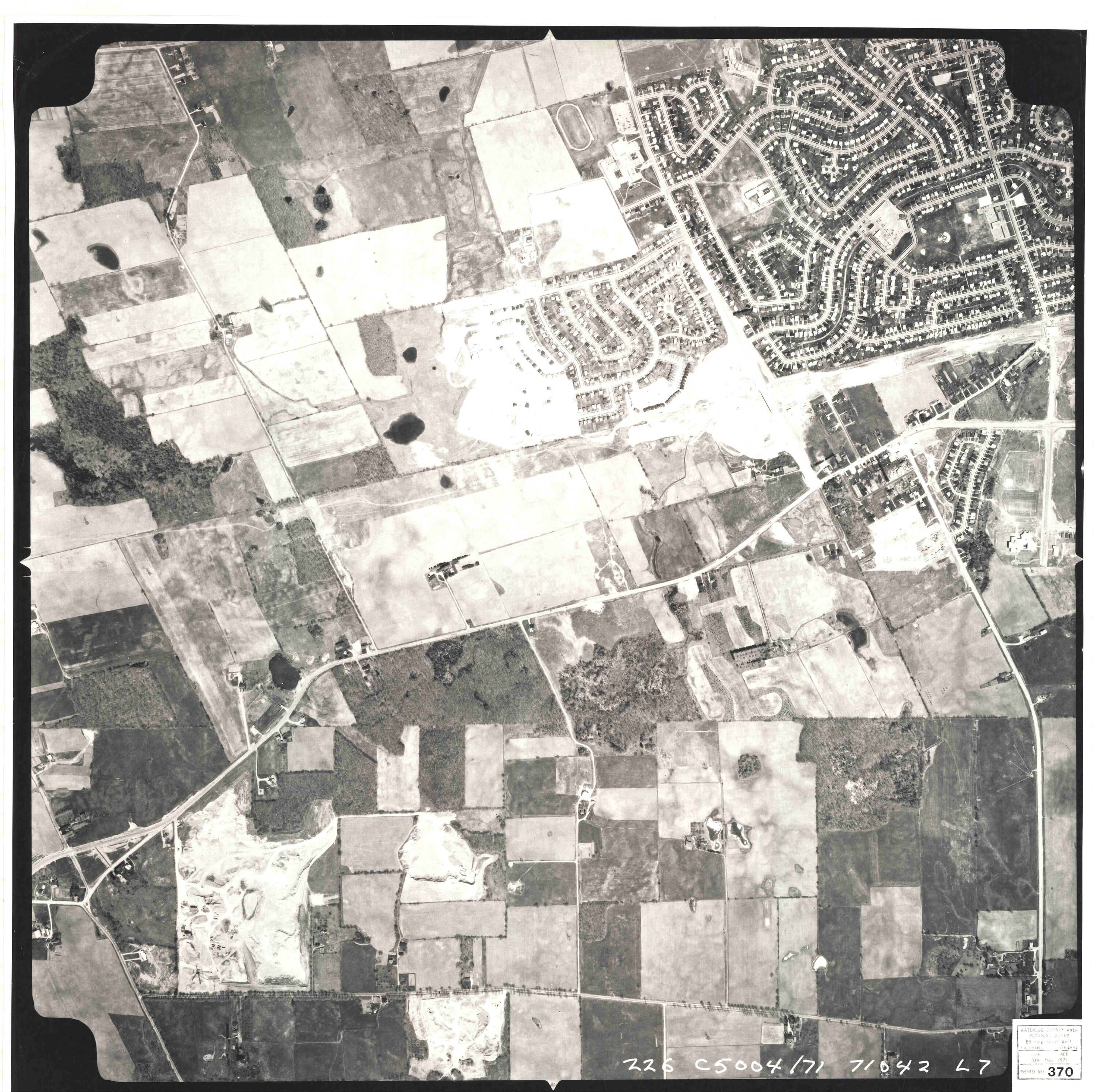
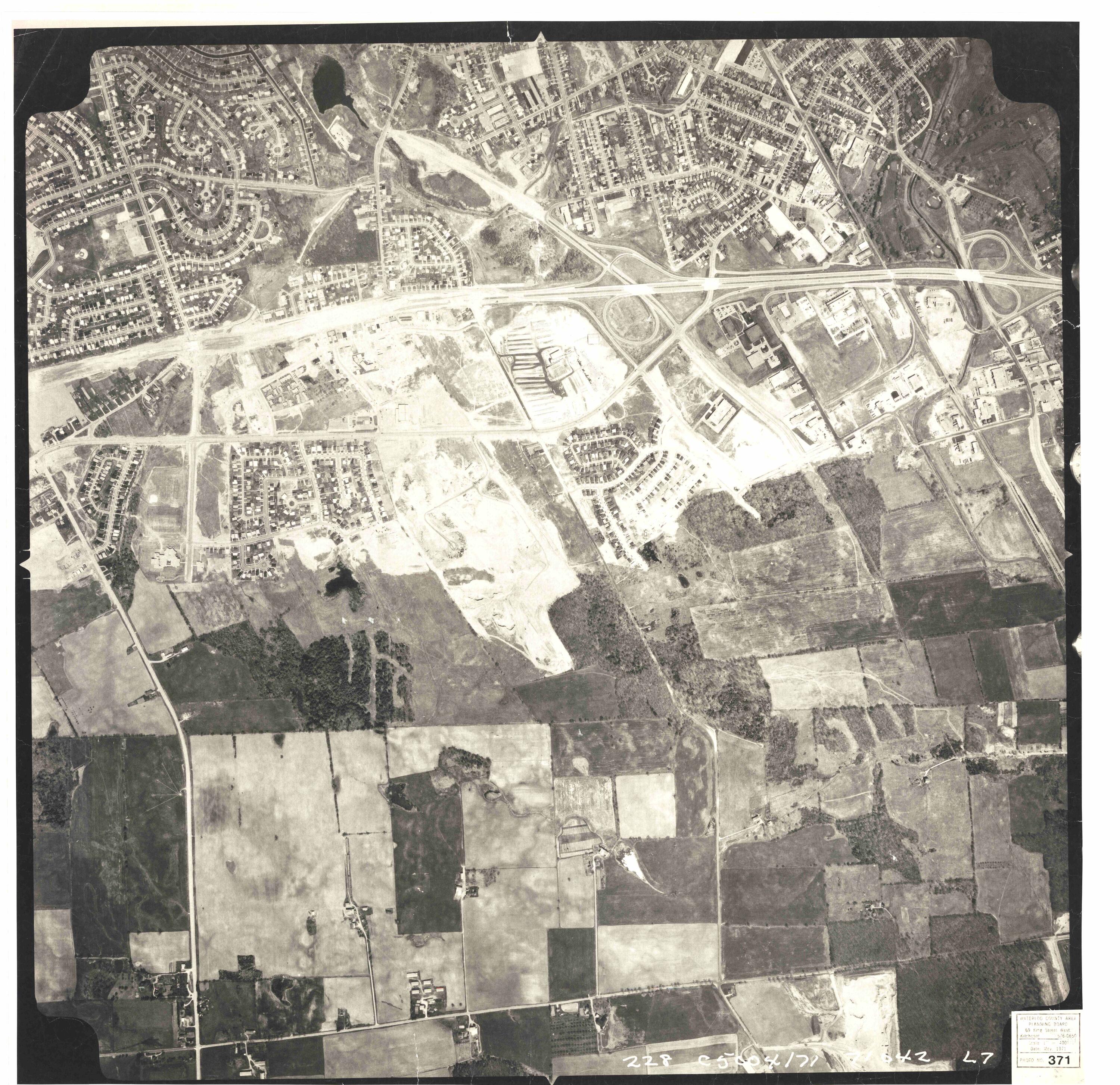
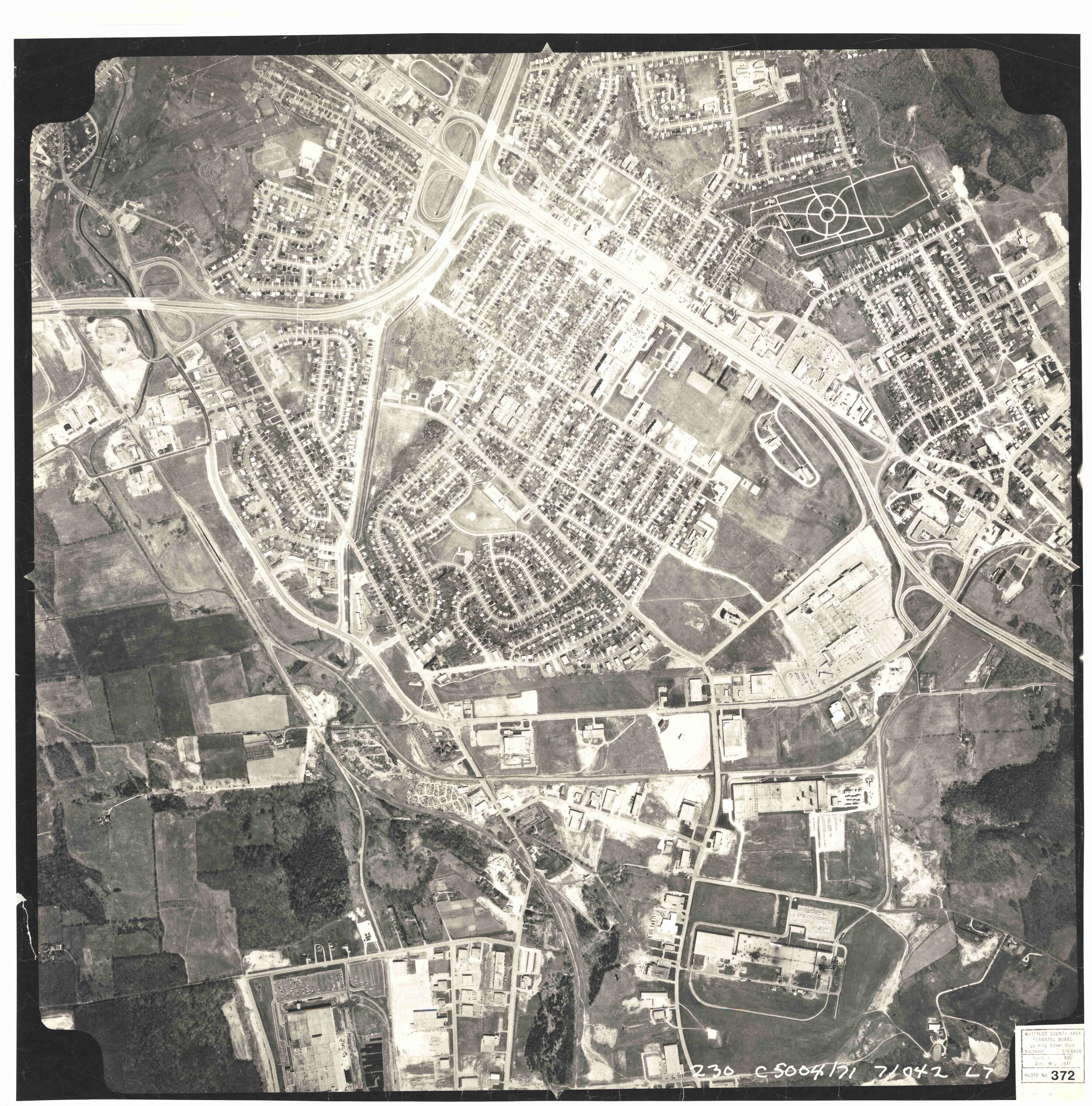
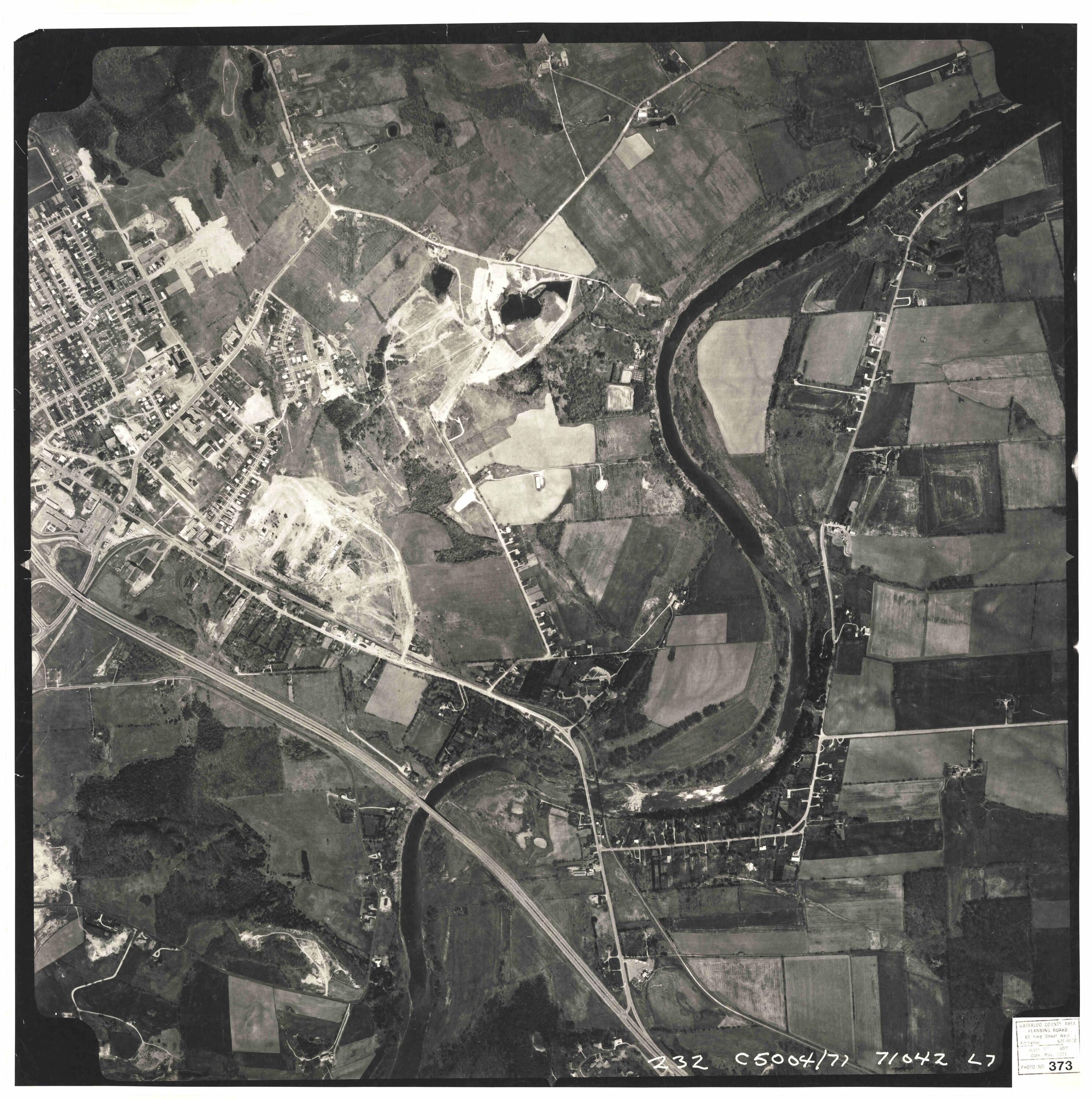
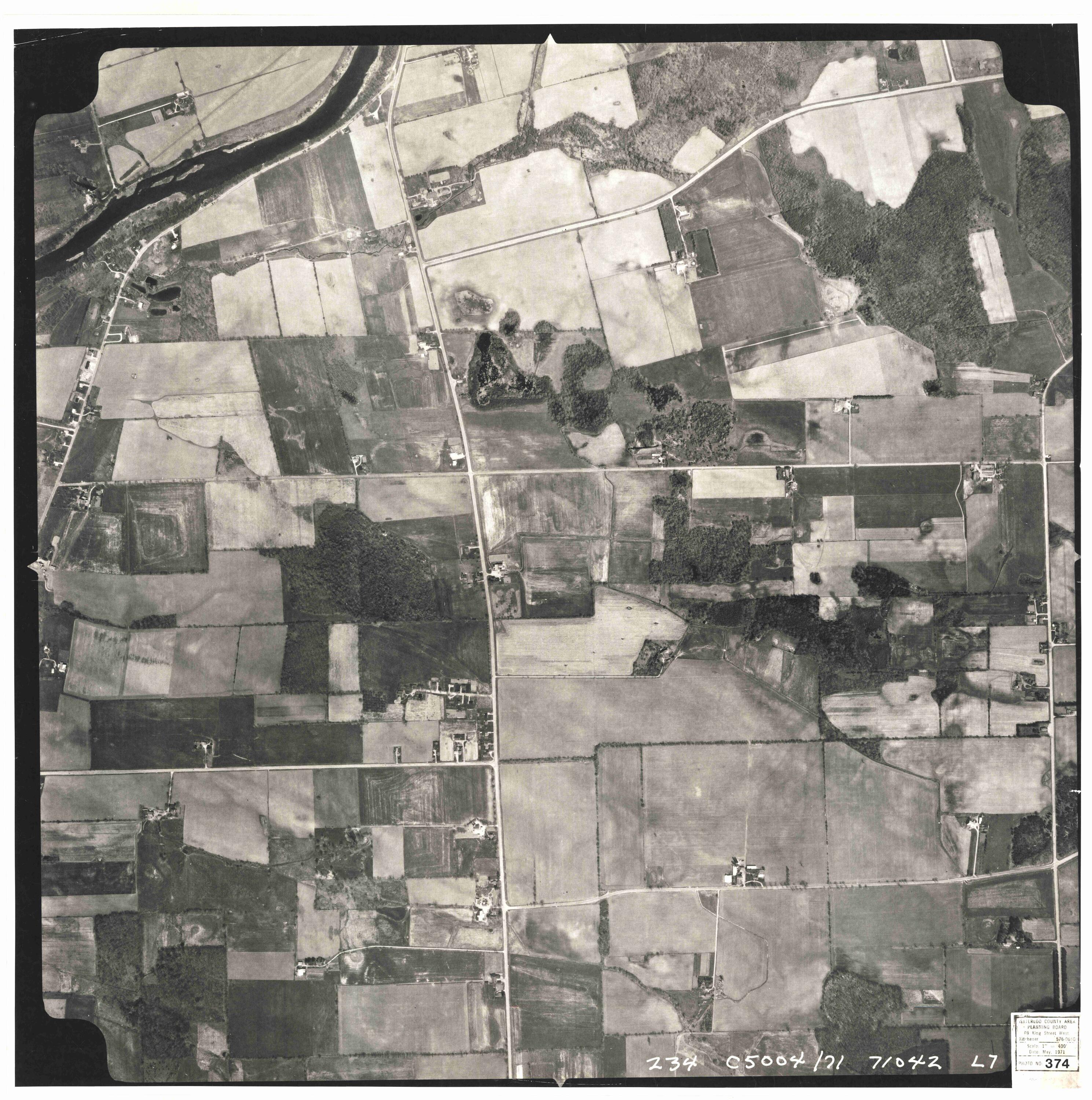
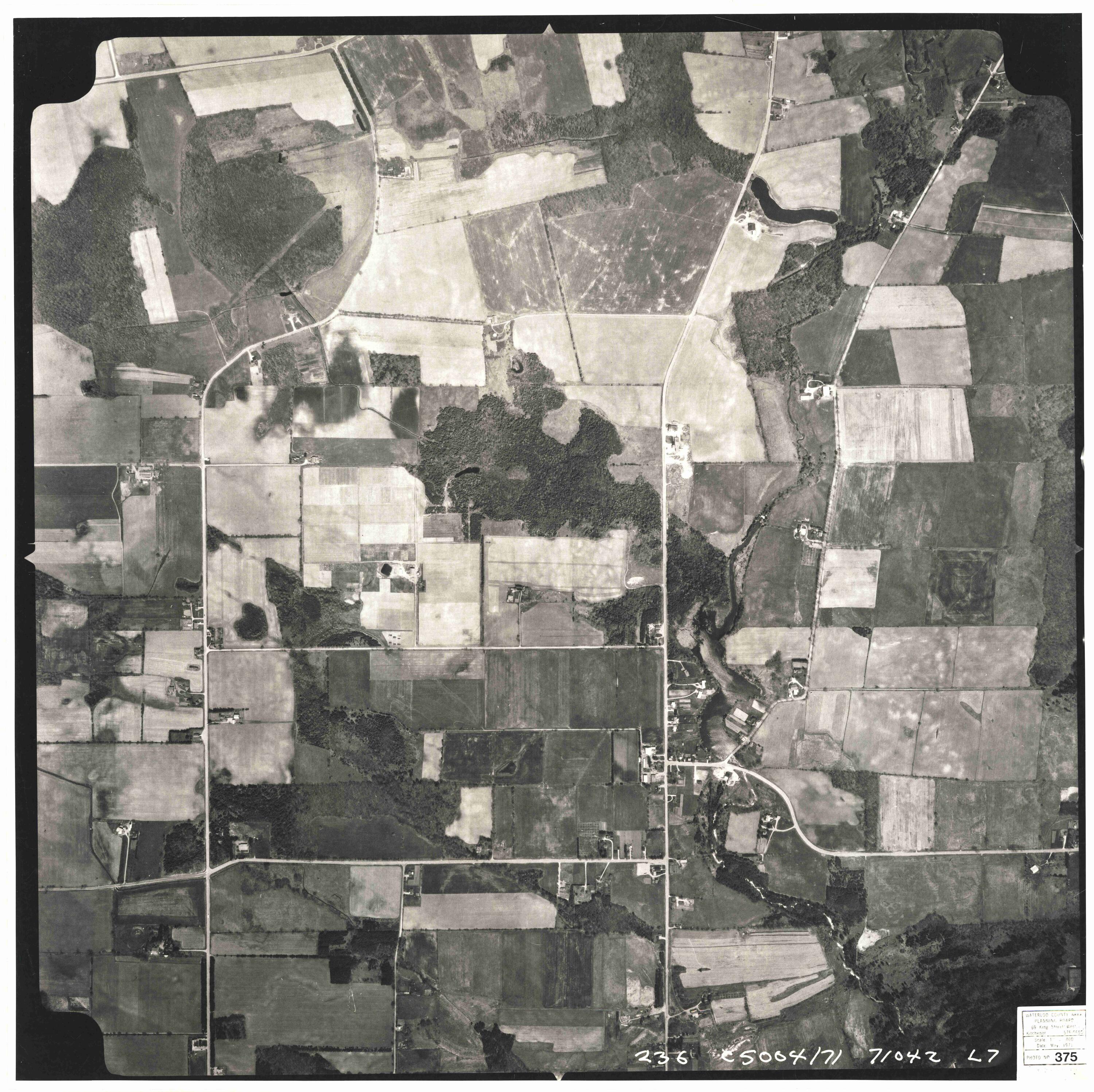
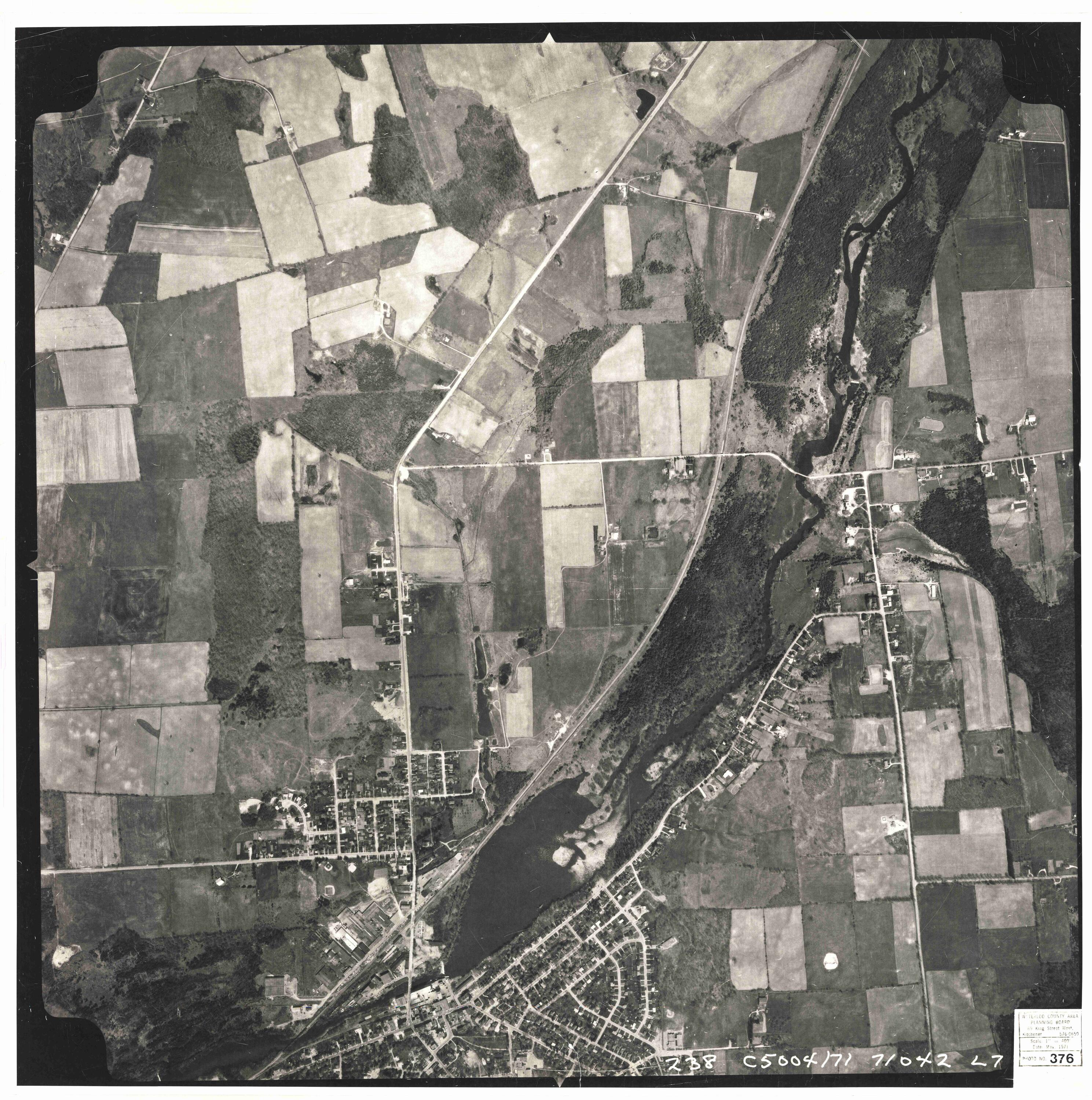
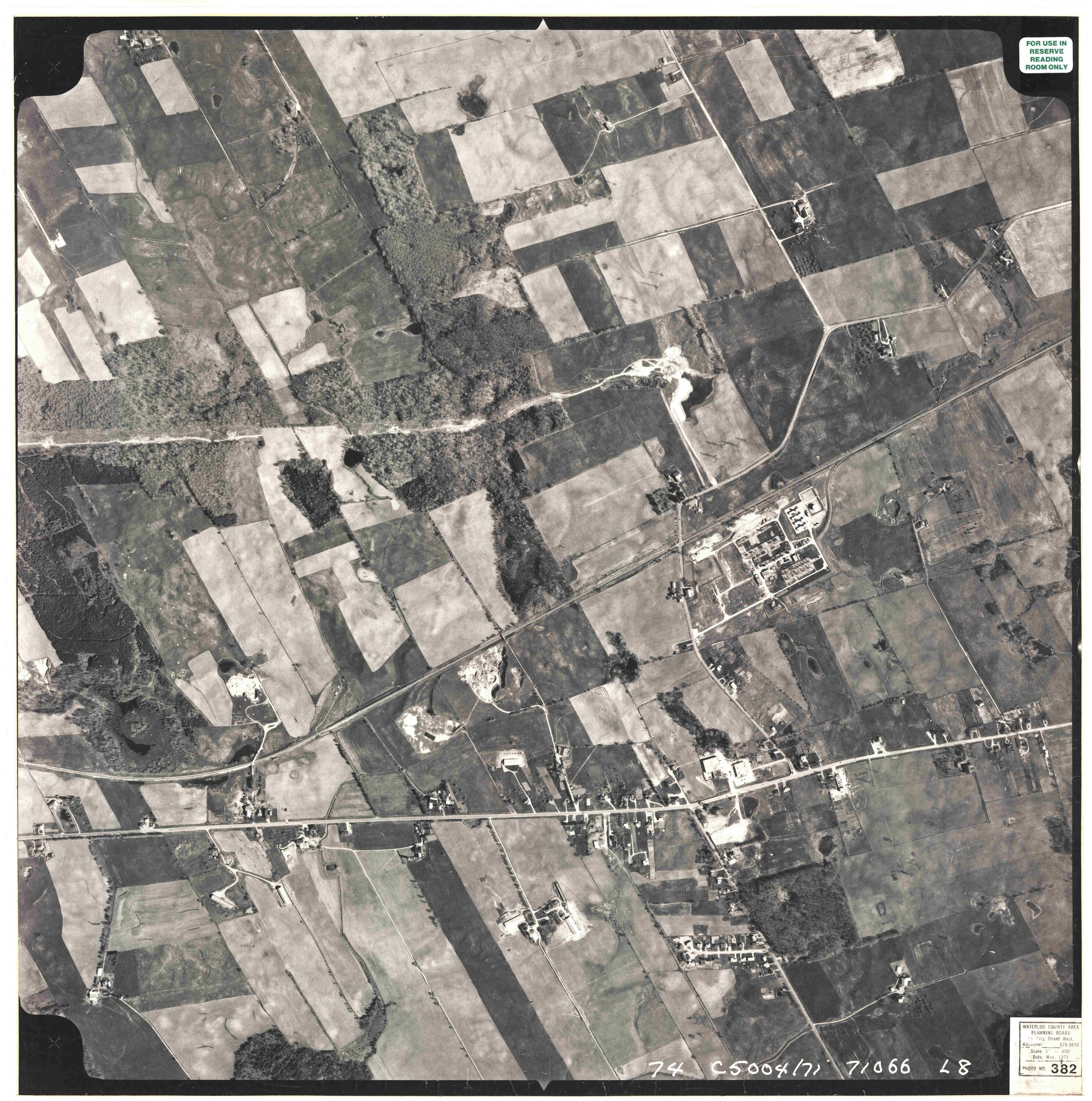
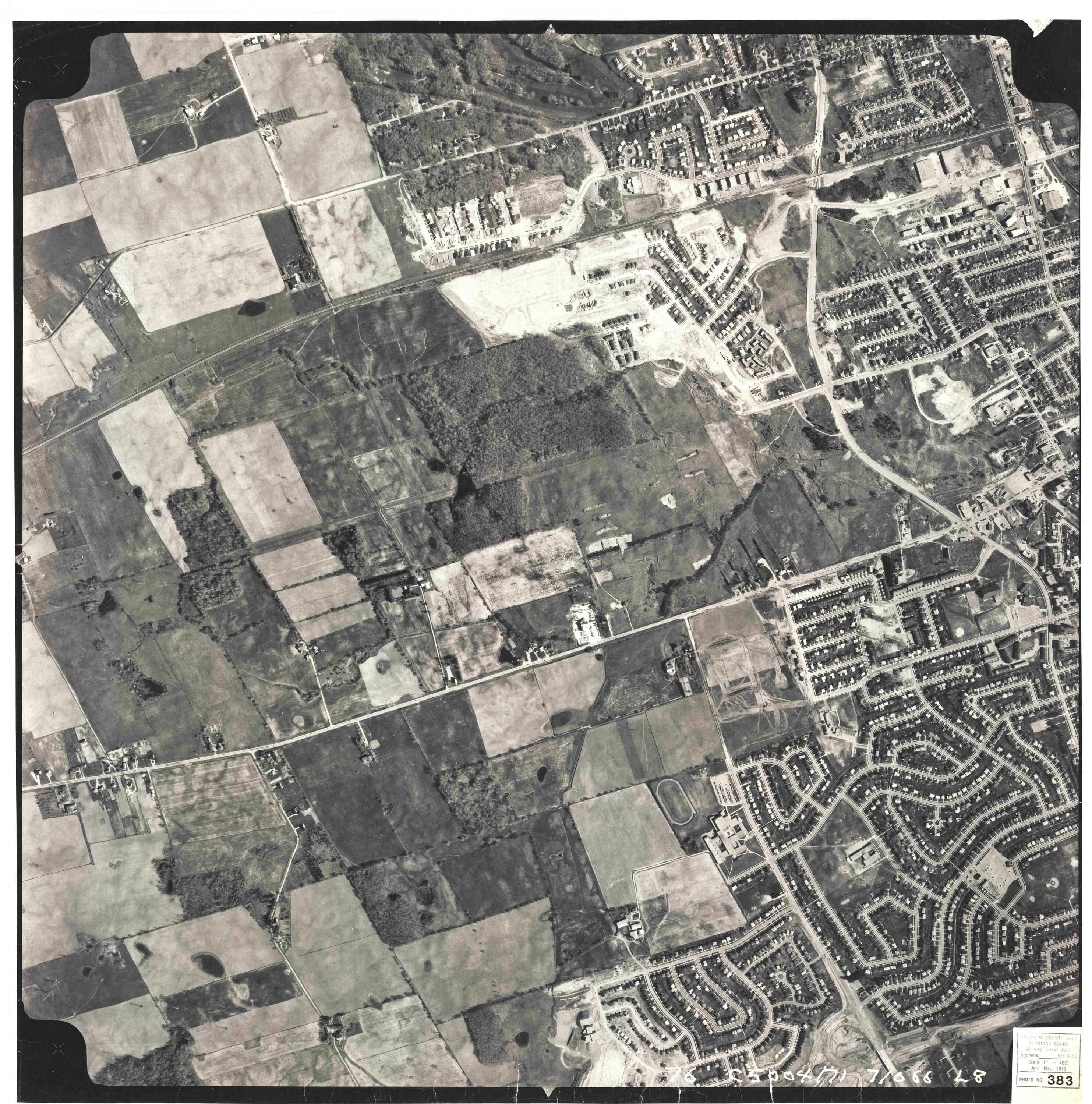
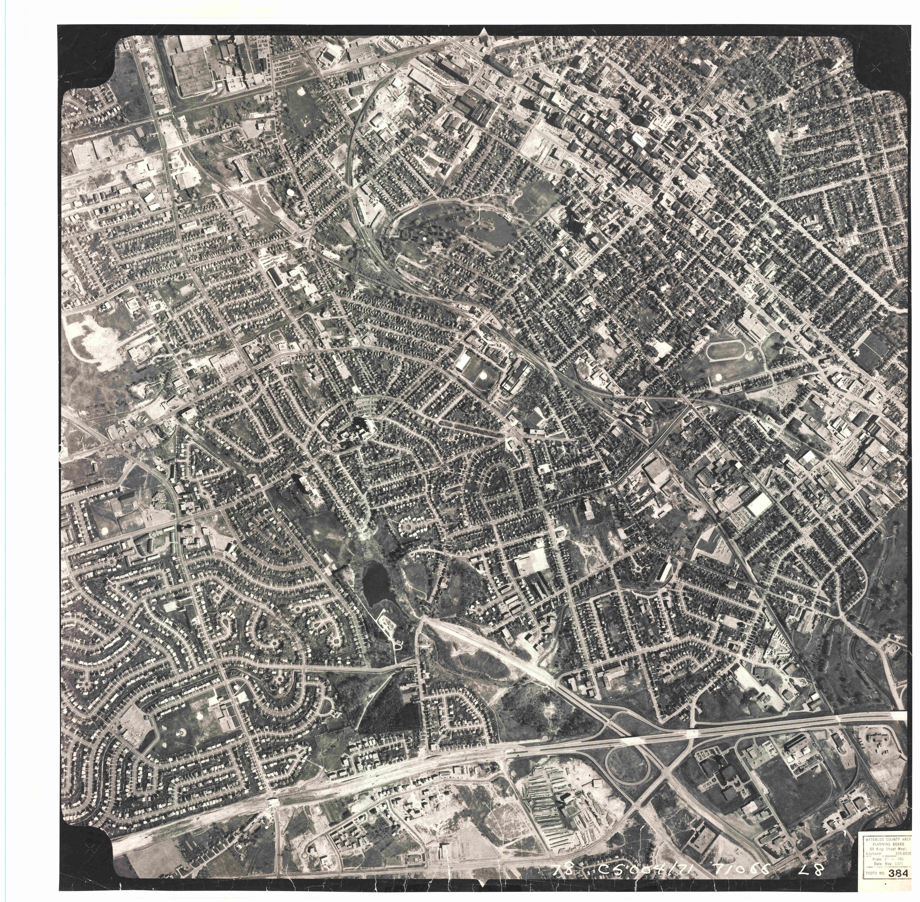
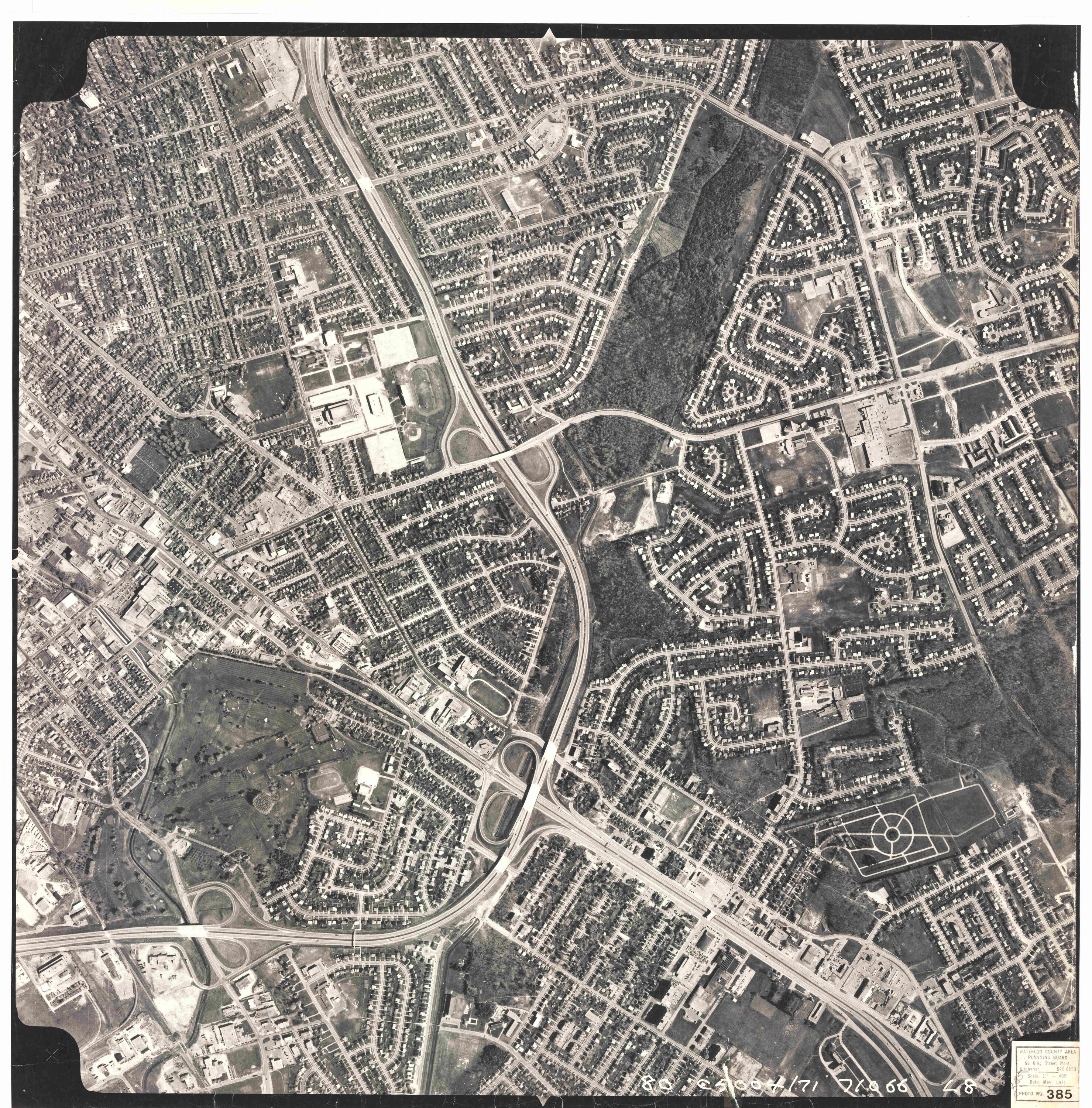
1971 Photomap Grid Index
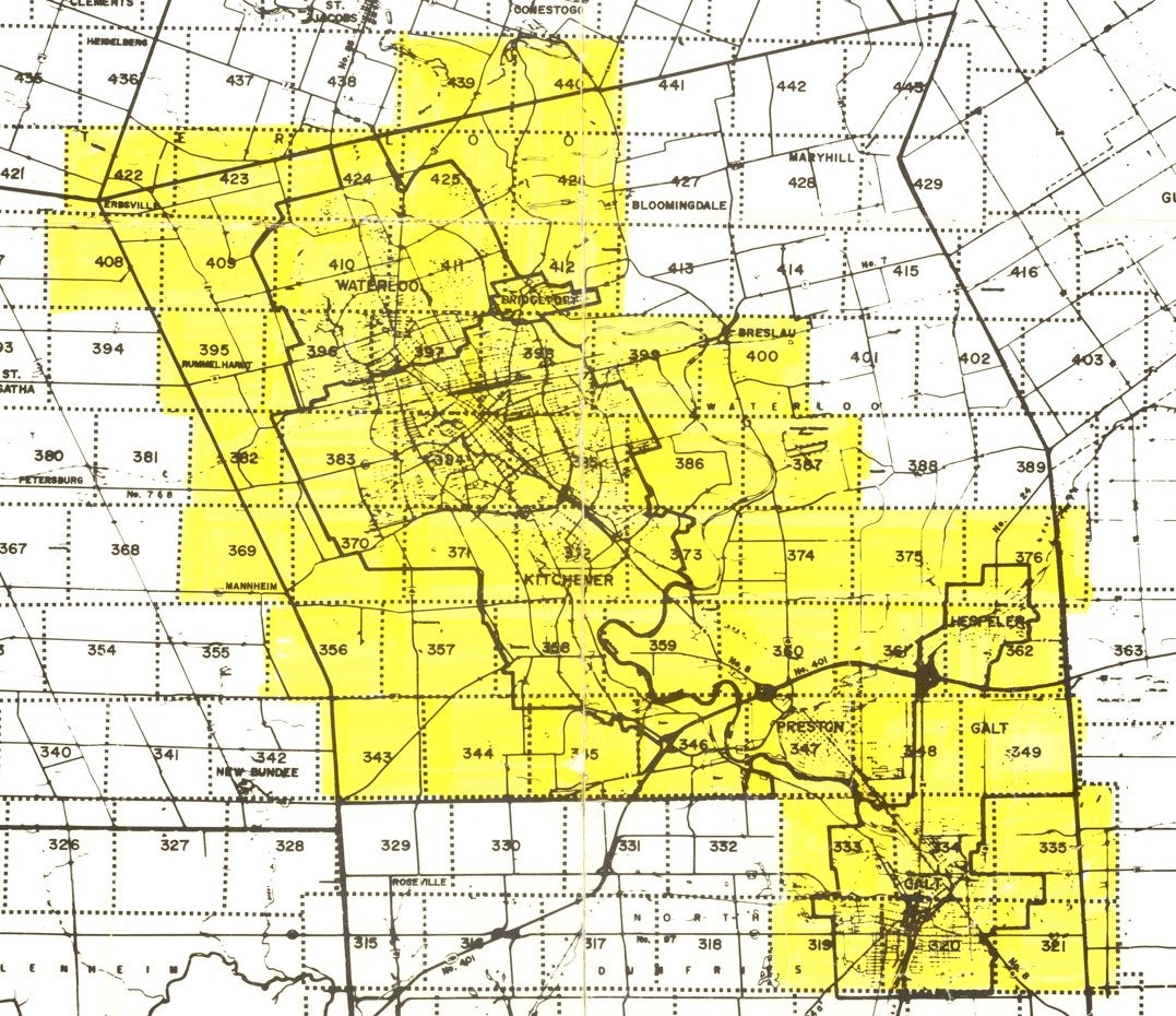
| 319 320 321 | 333 334 335 | 343 344 345 | 346 347 348 349 | 356 357 358 | 359 360 361 362 | 369 370 371 372 |
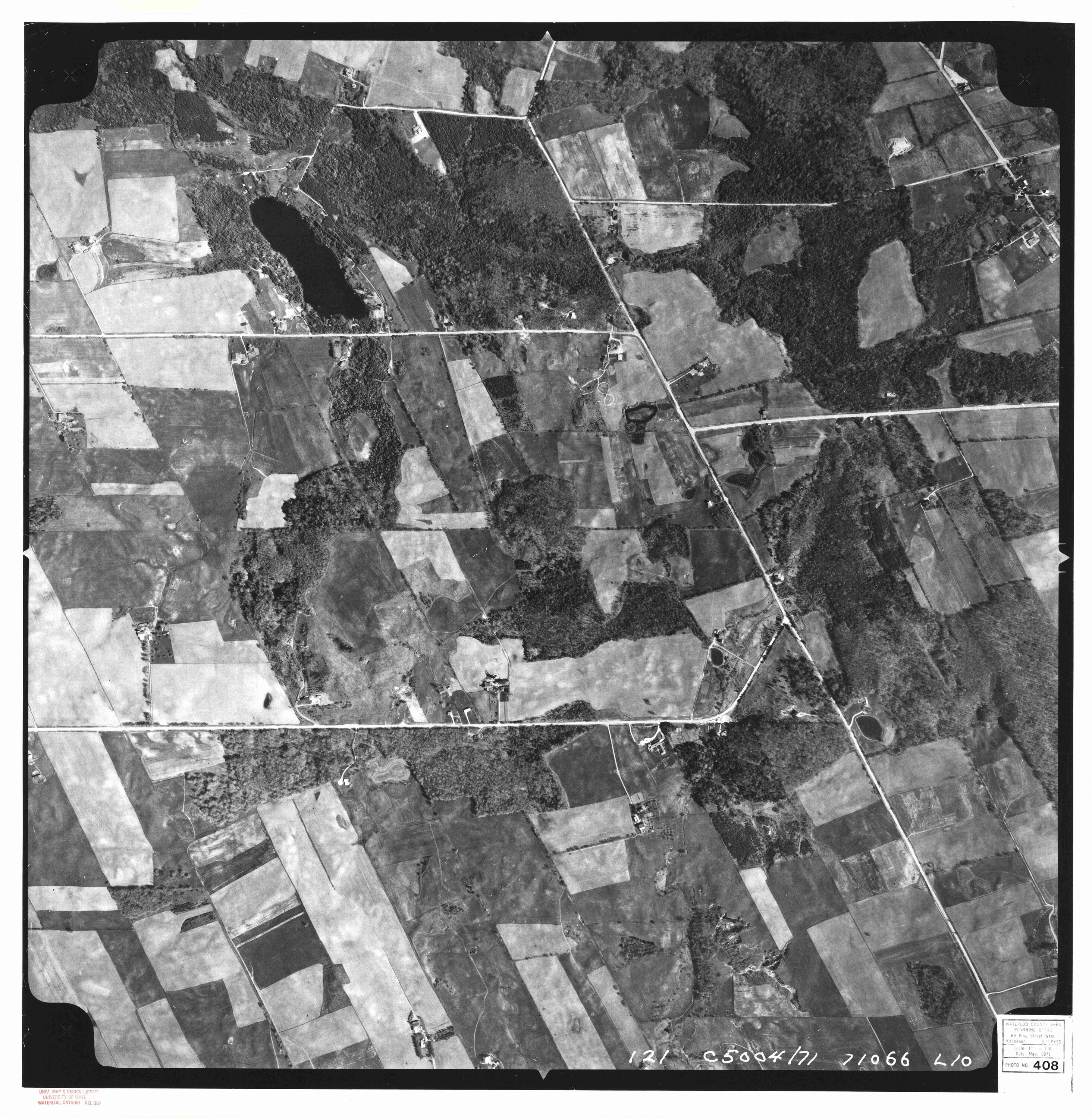
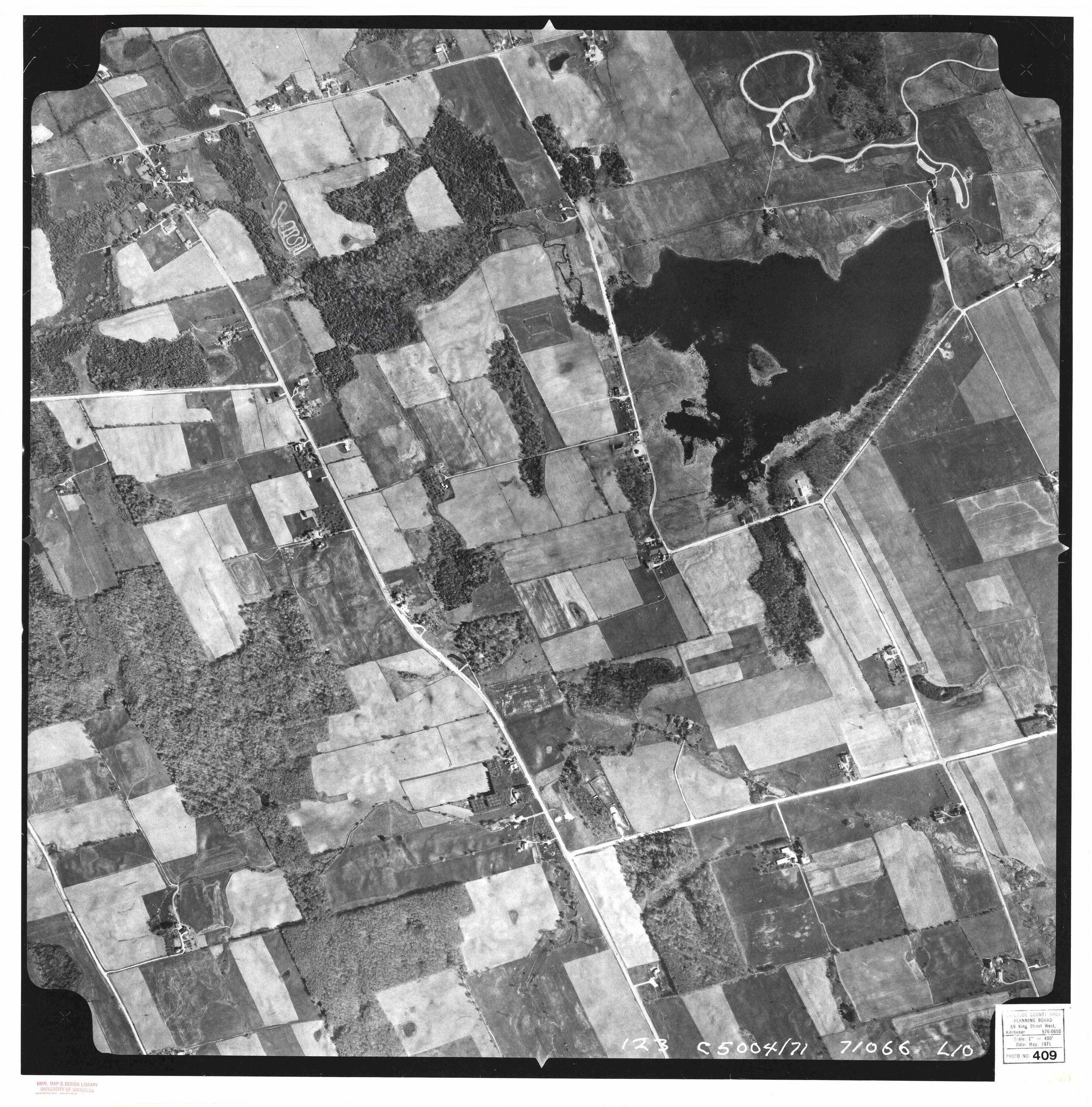
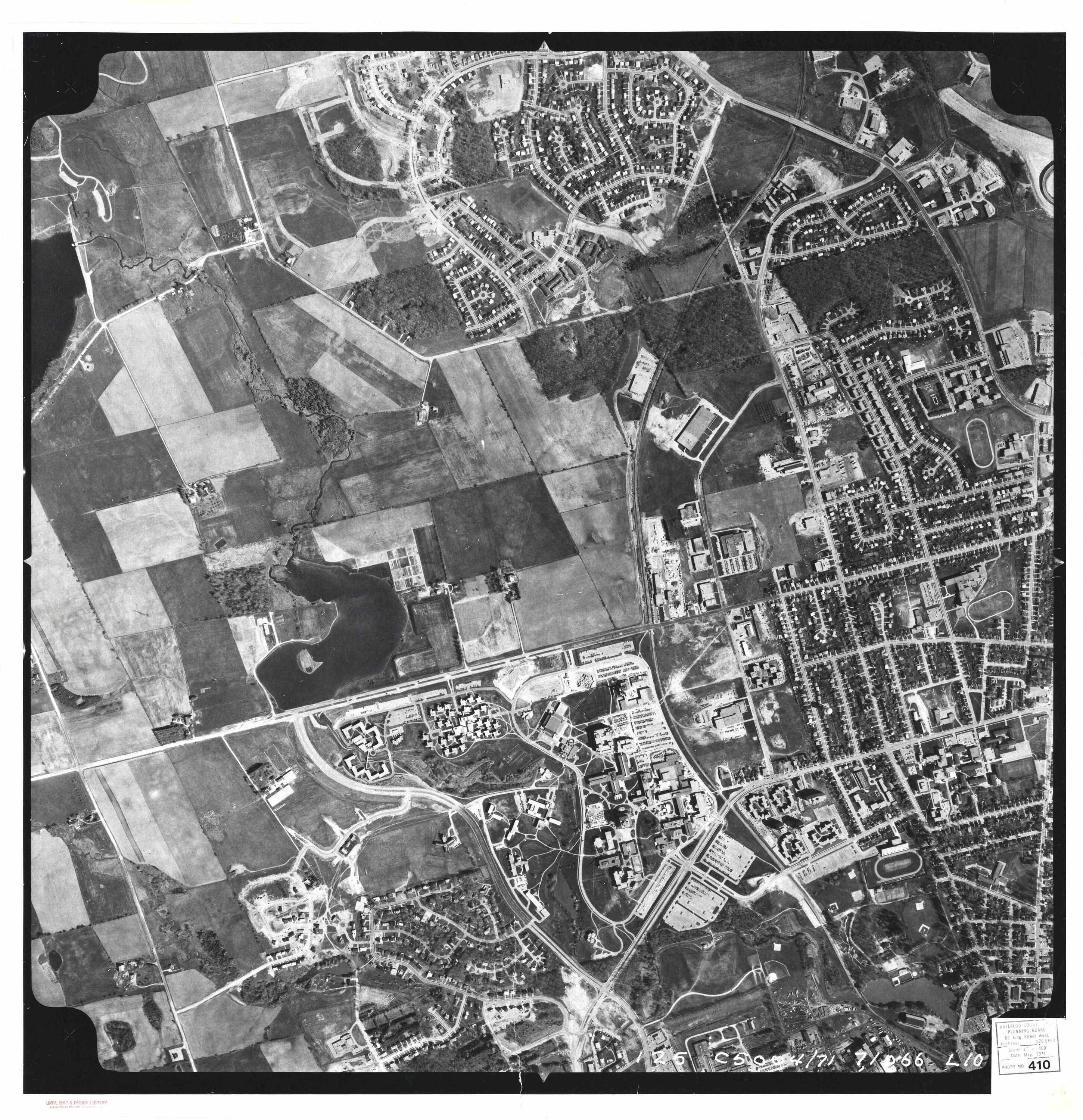
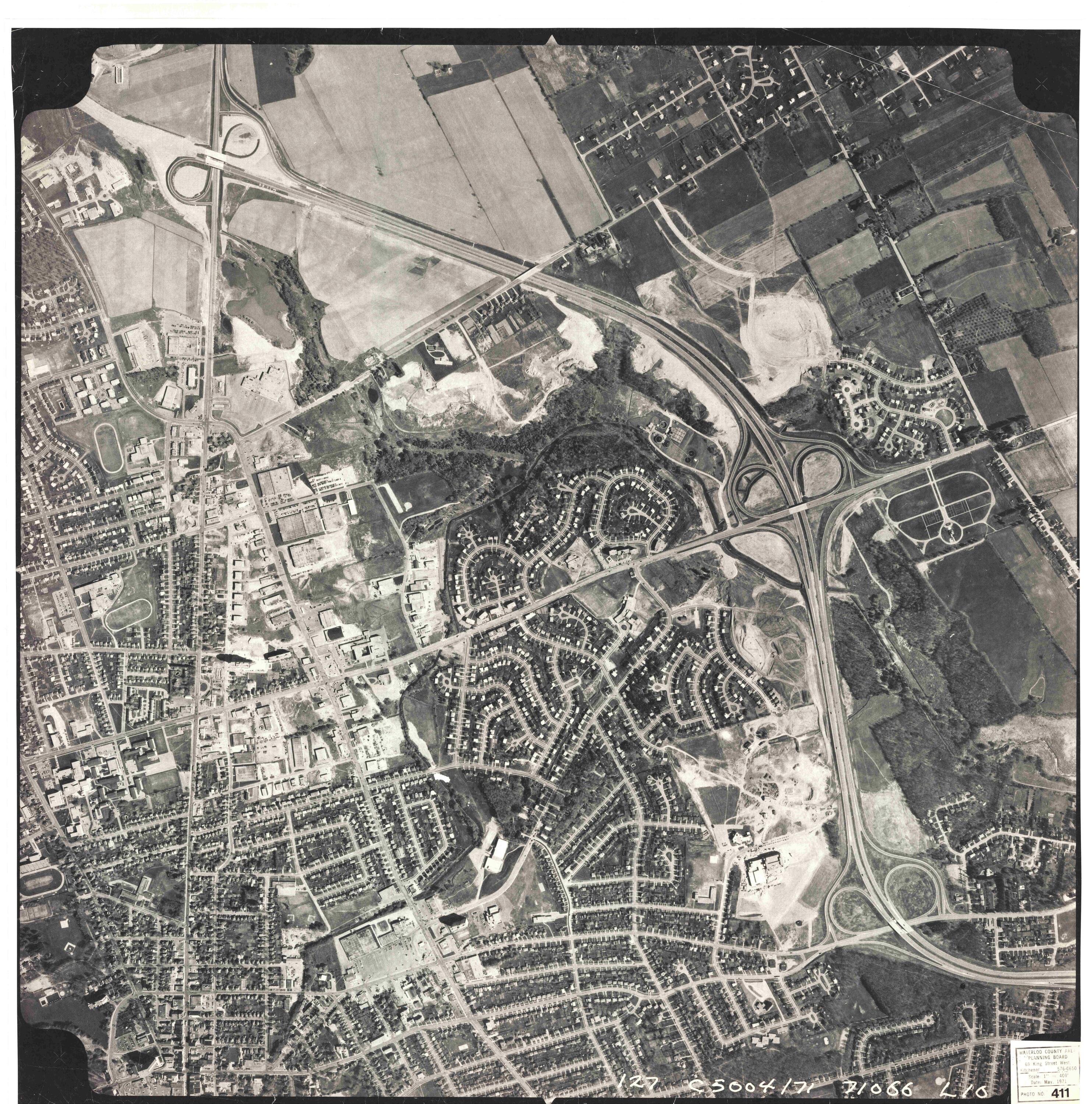
| 373 374 375 376 | 382 383 384 385 386 387 | 395 396 397 | 398 399 400 | 408 409 410 411 412 | 422 423 424 425 426 | 439 440 |


