Description
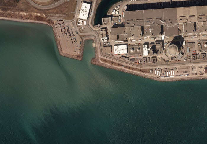
2020 orthoimagery covering the entire county of Durham (GTA) is available from the Geospatial Centre as well as via the Scholars Geoportal. Orthophoto imagery for Durham Region captured by First Base Solutions Inc. on April 2nd and 25th 2020 at a ground resolution of 15cm
Data access
To request this data, please fill out the Ask-Us form and include which layers (shapefiles) you are interested in obtaining. The dataset will be shared with you via OneDrive upon completion of the data release agreement form. You may also make an in-person appointment using the same form.
Use restrictions/licensing/copyright
These data are provided for personal use for academic, research, and/or teaching purposes. A data release agreement must be agreed to before these licensed data can be released. The City of Toronto Geospatial Competency Centre must be acknowledged on any derivative product, whether printed or electronic, including for example, a printed map, a raster or vector graphic, a web-based application, etc. Patrons are advised to fully respect the provisions of Canada's Copyright Act as well as terms and conditions imposed by the data provider.
Citation
2020 orthoimagery [computer file], First Base Solutions, Durham County, Ontario 2020