Contact the Geospatial Centre
Dana Porter Library, Room 328
University of Waterloo Library
Waterloo, Ontario N2L 3G1
Email: librarygeo@uwaterloo.ca
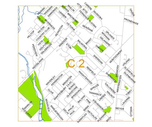
Photo: C2

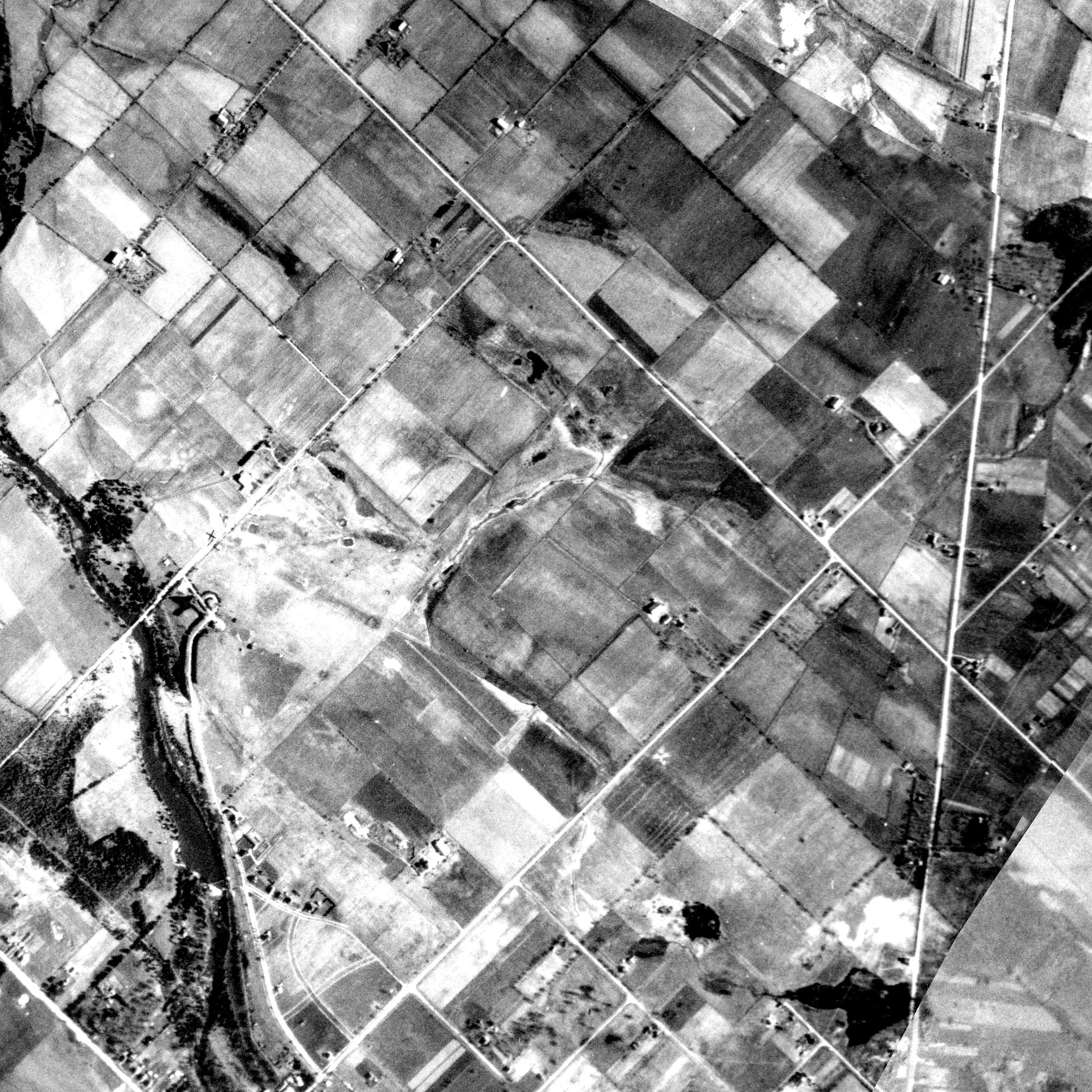
1930 Photo:
Right click file name and 'Save Link As'
| File Name | File Size | File Description |
| 1930 C2 tif (ZIP) | 9.0 MB | TIF image format |
| 1930 C2 jpg | 1.9 MB | JPG image format - converted from TIF image |
| 1930 C2 pdf | 1.5 MB | PDF image format - converted from TIF image |
| 1930 C2 kmz (ZIP) | 3.7 MB | KMZ image format - view in Google Earth - converted from TIF image |
| Original images used to create this image tile: 1930_A2124_51, 1930_A2133_12, 1930_A2133_11 |
||
1955 Photo:
Right click file name and 'Save Link As'
| File Name | File Size | File Description |
| 1955 C2 tif (ZIP) | 17.73 MB | TIF image format |
| 1955 C2 jpg | 1.38 MB | JPG image format - converted from TIF image |
| 1955 C2 pdf | 2.2 MB | PDF image format - converted from TIF image |
| 1955 C2 kmz (ZIP) | 3.48 MB | KMZ image format - view in Google Earth - converted from TIF image |
| Original images used to create this image tile: 1955_4326_88 | ||
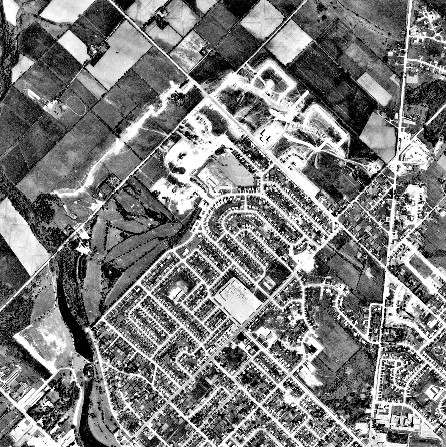
1966 Photo:
Right click file name and 'Save Link As'
| File Name | File Size | Fle Description |
| 1966 C2 tif (ZIP) | 5.45 MB | TIF image format |
| 1966 C2 jpg | 755 KB | JPG image format - converted from TIF image |
| 1966 C2 pdf | 772 KB | PDF image format - converted from TIF image |
| 1966 C2 kmz (ZIP) | 3.08 MB | KMZ image format - view in Google Earth - converted from TIF image |
| Original images used to create this image tile: 1966_A19049_81 | ||


