Contact the Geospatial Centre
Dana Porter Library, Room 328
University of Waterloo Library
Waterloo, Ontario N2L 3G1
Email: librarygeo@uwaterloo.ca
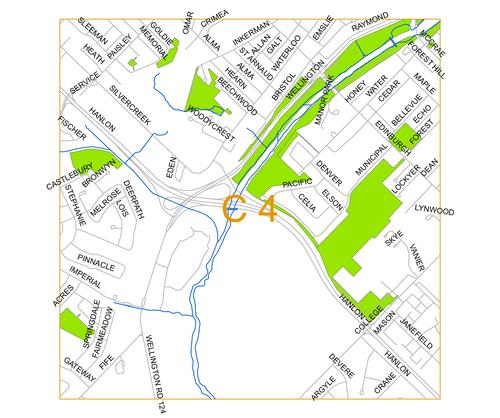
Photo: C4
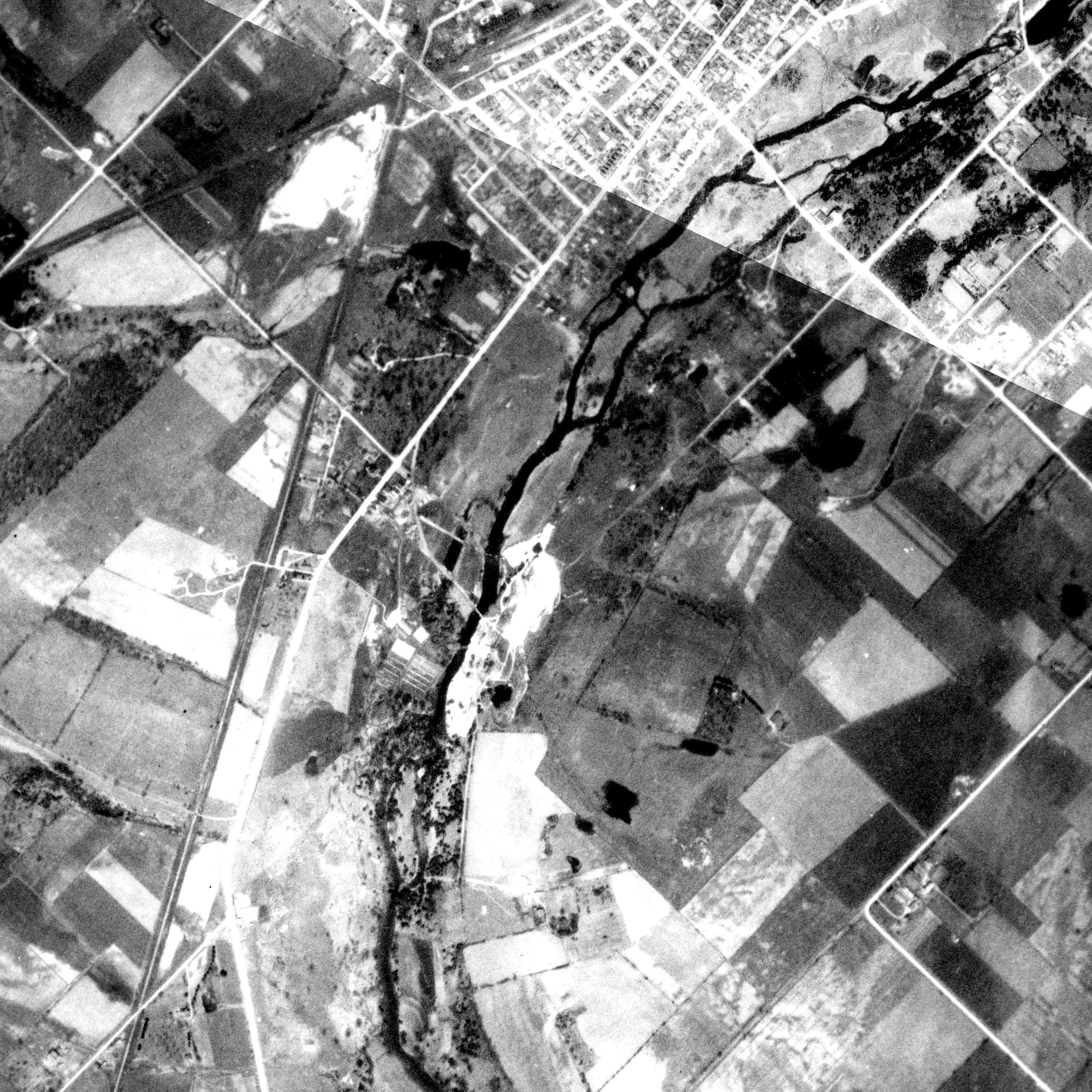
1930 Photo:
Right click file name and 'Save Link As'
| First Name | File Size | File Description |
| 1930 C4 tif (ZIP) | 8.8 MB | TIF image format |
| 1930 C4 jpg | 1.5 MB | JPG image format - converted from TIF image |
| 1930 C4 pdf | 1.5 MB | PDF image format - converted from TIF image |
| 1930 C4 kmz (ZIP) | 3.59 MB | KMZ image format - view in Google Earth - converted from TIF image |
| Original images used to create this image tile: 1930_A2124_40, 1930_A2124_39 |
||
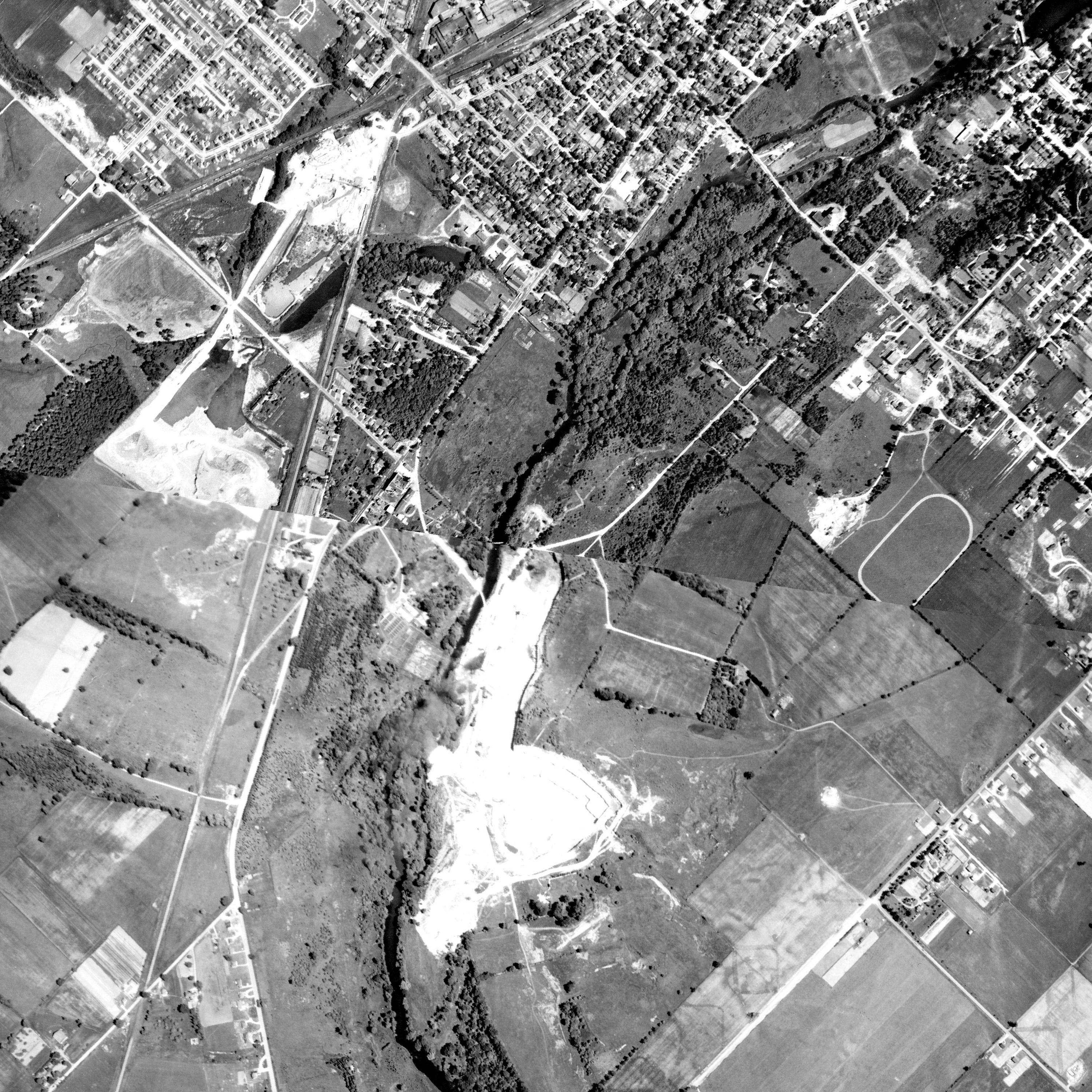
1955 Photo:
Right click file name and 'Save Link As'
| First Name | File Size | File Description |
| 1955 C4 tif (ZIP) | 15.1 MB | TIF image format |
| 1955 C4 jpg | 1.55 MB | JPG image format - converted from TIF image |
| 1955 C4 pdf | 2.24 MB | PDF image format - converted from TIF image |
| 1955 C4 kmz (ZIP) | 3.76 MB | KMZ image format - view in Google Earth - converted from TIF image |
| Original images used to create this image tile: 1955_4324_72, 1955_4323_181 |
||
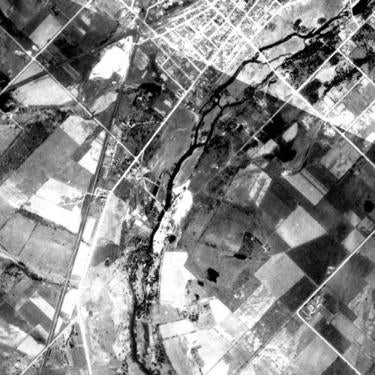
1966 Photo:
Right click file name and 'Save Link As'
| File Name | File Size | File Description |
| 1966 C4 tif (ZIP) | 4.9 MB | TIF image format |
| 1966 C4 jpg | 545 KB | JPG image format - converted from TIF image |
| 1966 C4 pdf | MB | PDF image format - converted from TIF image |
| 1966 C4 kmz (ZIP) | 2.56 MB | KMZ image format - view in Google Earth - converted from TIF image |
| Original images used to create this image tile: 1966_A19409_91, 1966_A19411_16 |
||


