Contact the Geospatial Centre
Dana Porter Library, Room 328
University of Waterloo Library
Waterloo, Ontario N2L 3G1
Email: librarygeo@uwaterloo.ca
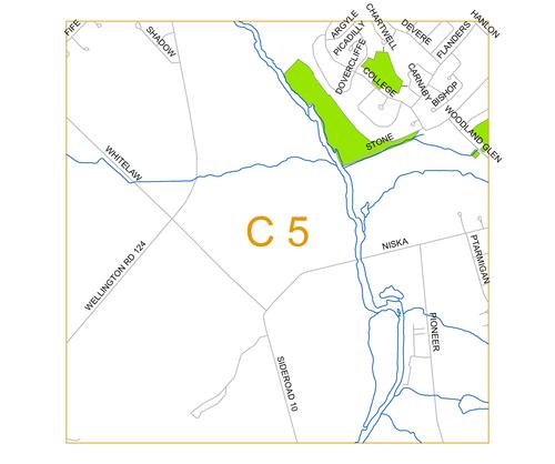
Photo: C5


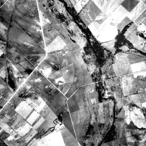
1930 Photo:
Right click file name and 'Save Link As'
| File Name | File Size | File Description |
| 1930 C5 tif (ZIP) | 8.62 MB | TIF image format |
| 1930 C5 jpg | 1.45 MB | JPG image format - converted from TIF image |
| 1930 C5 pdf | 1.48 MB | PDF image format - converted from TIF image |
| 1930 C5 kmz (ZIP) | 3.64 MB | KMZ image format - view in Google Earth - converted from TIF image |
| Original images used to create this image tile: 1930_A2133_48, 1930_A2133_47 |
||
1955 Photo:
Right click file name and 'Save Link As'
| File Name | File Size | File Description |
| 1955 C5 tif (ZIP) | 16.34 MB | TIF image format |
| 1955 C5 jpg | 1.44 MB | JPG image format - converted from TIF image |
| 1955 C5 pdf | 2.33 MB | PDF image format - converted from TIF image |
| 1955 C5 kmz (ZIP) | 3.59 MB | KMZ image format - view in Google Earth - converted from TIF image |
| Original images used to create this image tile: 1955_4322_53, 1955_4322_52, 1955_4323_181 |
||
1966 Photo:
Right click file name and 'Save Link As'
| File Name | File Size | File Description |
| 1966 C5 tif (ZIP) | 2.99 MB | TIF image format |
| 1966 C5 jpg | 537 KB | JPG image format - converted from TIF image |
| 1966 C5 pdf | 1.98 MB | PDF image format - converted from TIF image |
| 1966 C5 kmz (ZIP) | 2.55 MB | KMZ image format - view in Google Earth - converted from TIF image |
| Original images used to create this image tile: 1966_A19409_91, 1966_A19411_16 |
||
Dana Porter Library, Room 328
University of Waterloo Library
Waterloo, Ontario N2L 3G1
Email: librarygeo@uwaterloo.ca
The University of Waterloo acknowledges that much of our work takes place on the traditional territory of the Neutral, Anishinaabeg, and Haudenosaunee peoples. Our main campus is situated on the Haldimand Tract, the land granted to the Six Nations that includes six miles on each side of the Grand River. Our active work toward reconciliation takes place across our campuses through research, learning, teaching, and community building, and is co-ordinated within the Office of Indigenous Relations.