Contact the Geospatial Centre
Dana Porter Library, Room 328
University of Waterloo Library
Waterloo, Ontario N2L 3G1
Email: librarygeo@uwaterloo.ca
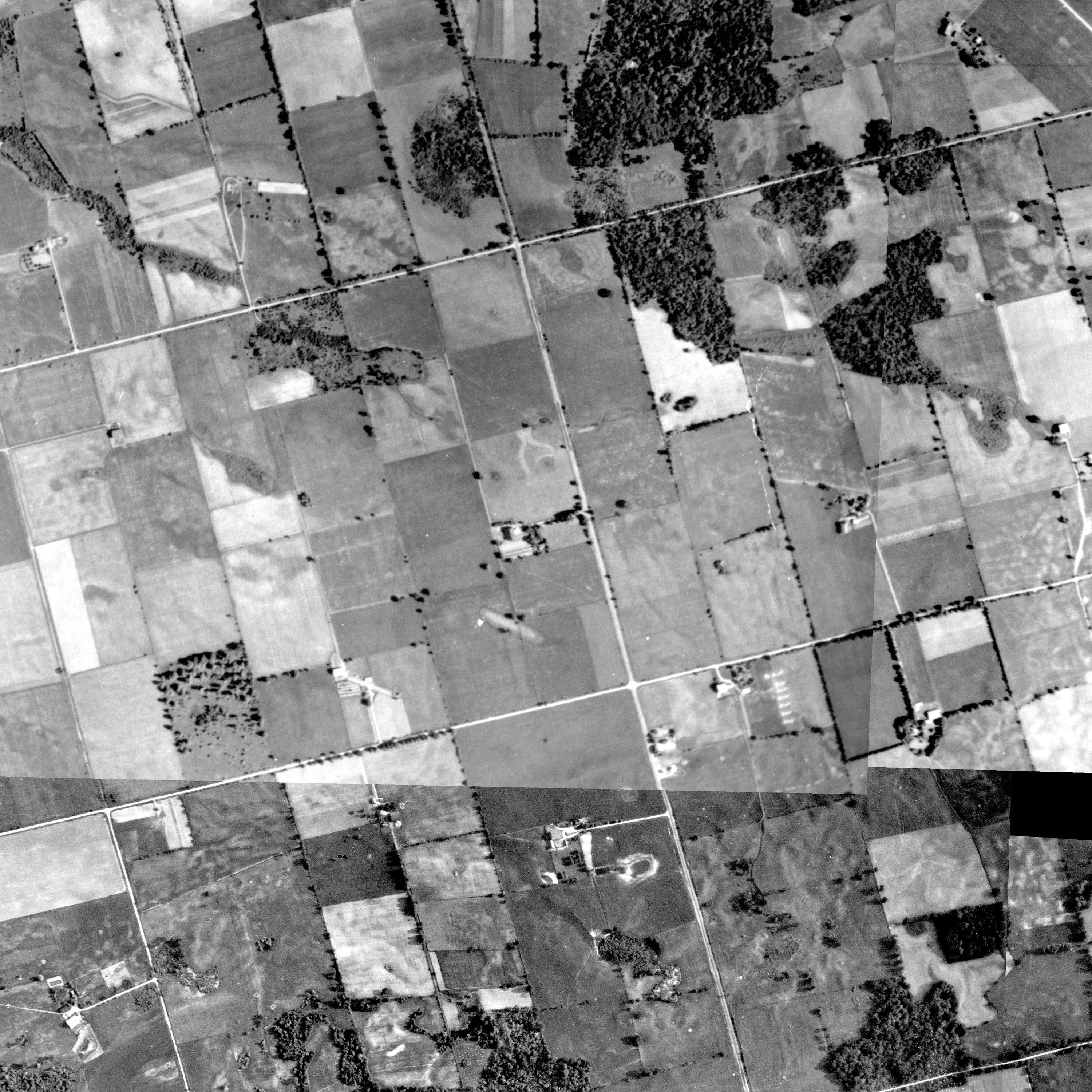
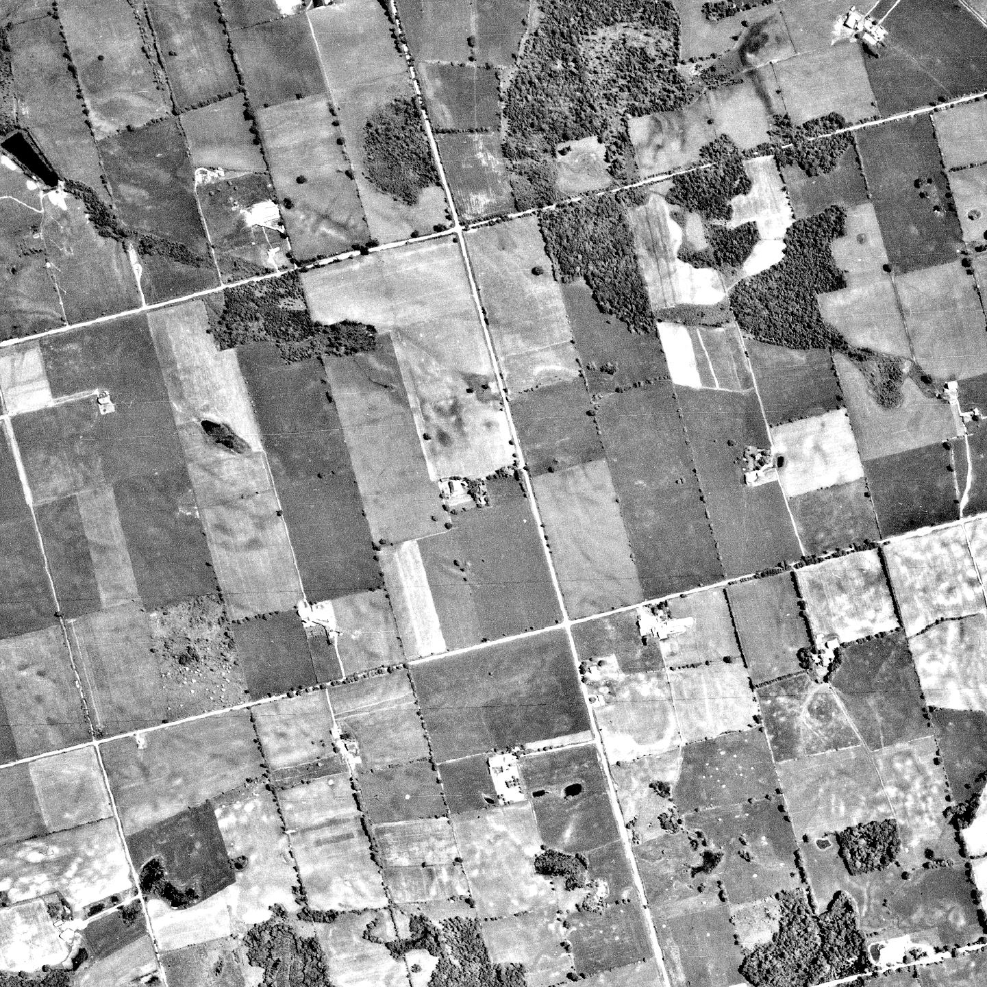
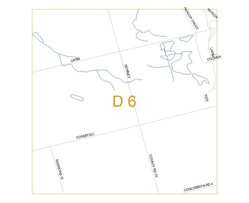
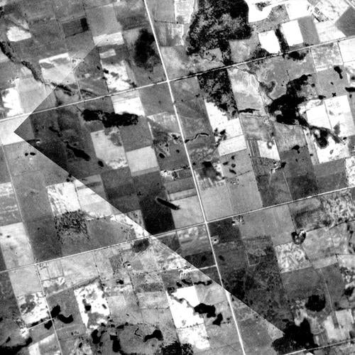
Photo: D6
1930 Photo:
Right click file name and 'Save Link As'
| File Name | File Size | File Description |
| 1930 D6 tif (ZIP) | 8.5 MB | TIF image format |
| 1930 D6 jpg | 1.4 MB | JPG image format - converted from TIF image |
| 1930 D6 pdf | 1.44 MB | PDF image format - converted from TIF image |
| 1930 D6 kmz (ZIP) | 3.6 MB | KMZ image format - view in Google Earth - converted from TIF image |
| Original images used to create this image tile: 1930_A2122_78, 1930_A2122_77, 1930_A2123_47, |
||
1955 Photo:
Right click file name and 'Save Link As'
| File Name | File Size | File Description |
| 1955 D6 tif (ZIP) | 16.84 MB | TIF image format |
| 1955 D6 jpg | 1.34 MB | JPG image format - converted from TIF image |
| 1955 D6 pdf | 2.33 MB | PDF image format - converted from TIF image |
| 1955 D6 kmz (ZIP) | 3.31 MB | KMZ image format - view in Google Earth - converted from TIF image |
|
Original images used to create this image tile: 1955_4321_51, * Note there is a small gap on the right side of the image that is missing data |
||
1966 Photo:
Right click file name and 'Save Link As'
| File Name | File Size | File Description |
| 1966 D6 tif (ZIP) | 5.1 MB | TIF image format |
| 1966 D6 jpg | 630.3 KB | JPG image format - converted from TIF image |
| 1966 D6 pdf | 645.9 KB | PDF image format - converted from TIF image |
| 1966 D6 kmz (ZIP) | 2.55 MB | KMZ image format - view in Google Earth - converted from TIF image |
| Original images used to create this image tile: 1966_A19411_38 | ||


