Contact the Geospatial Centre
Dana Porter Library, Room 328
University of Waterloo Library
Waterloo, Ontario N2L 3G1
Email: librarygeo@uwaterloo.ca
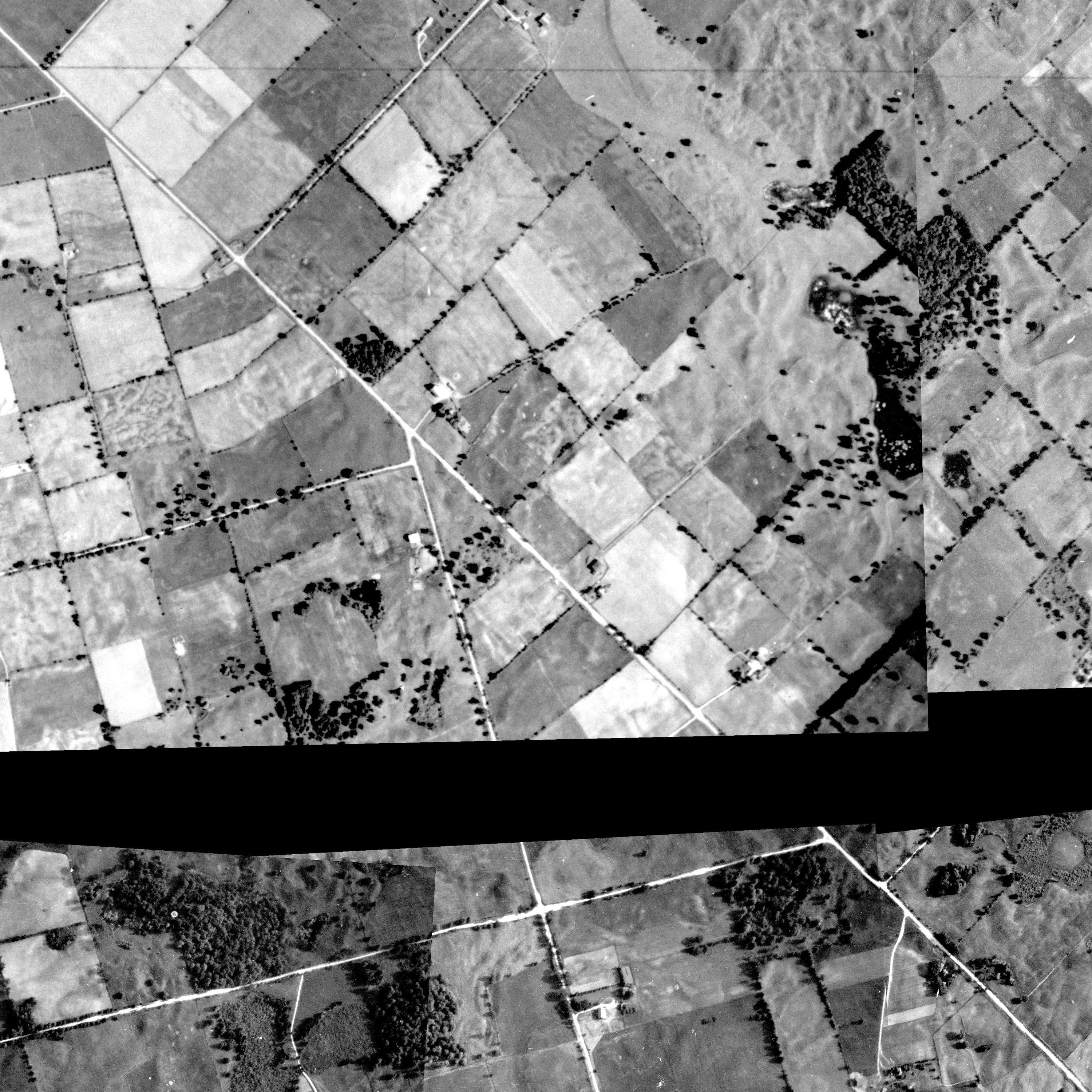
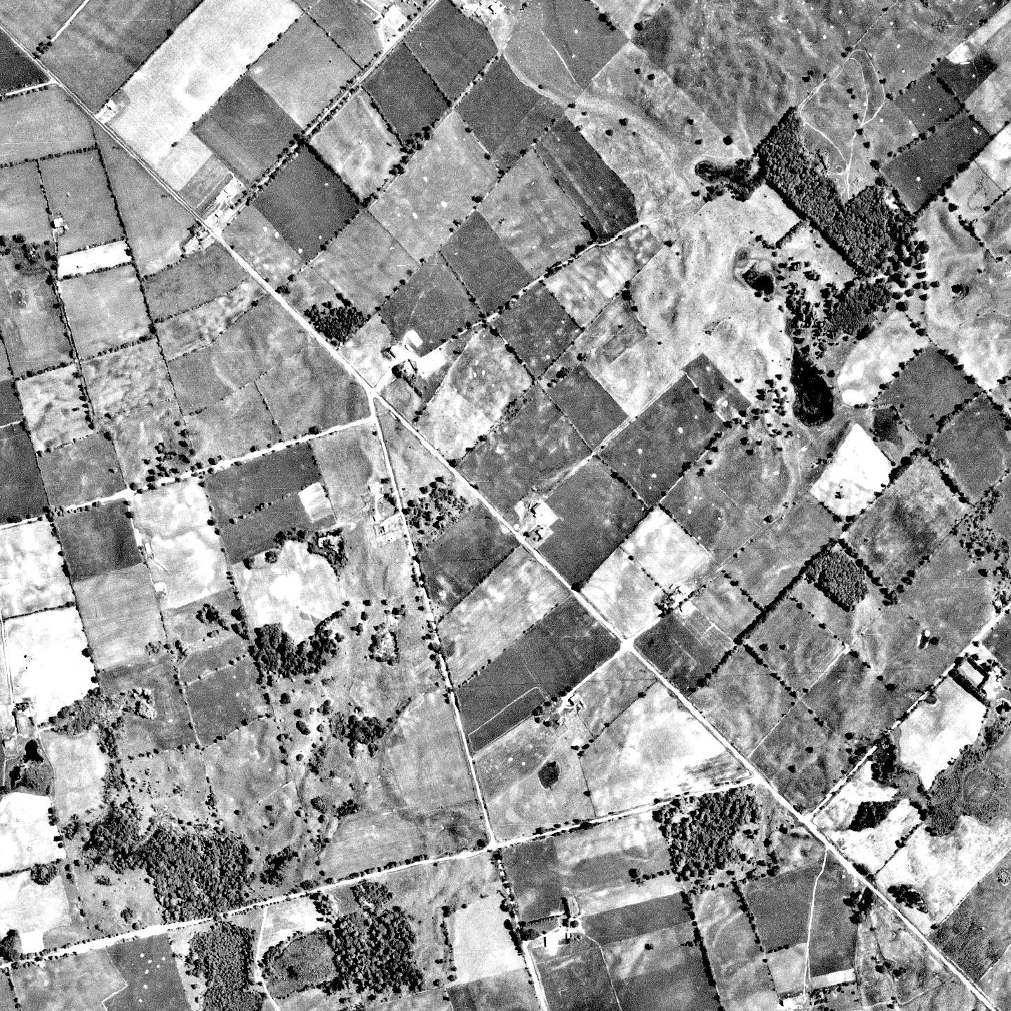
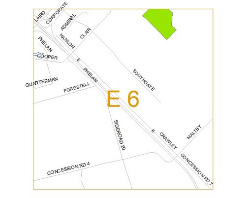
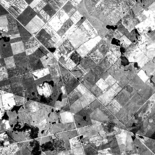
Photo: E6
1930 Photo:
Right click file name and 'Save Link As'
| File Name | File Size | File Description |
| 1930 E6 tif (ZIP) | 10.31 MB | TIF image format |
| 1930 E6 jpg | 1.7 MB | JPG image format - converted from TIF image |
| 1930 E6 pdf | 1.6 MB | PDF image format - converted from TIF image |
| 1930 E6 kmz (ZIP) | 1.6 MB | KMZ image format - view in Google Earth - converted from TIF image |
| Original images used to create image tile: 1930_A2122_76, 1930_A2122_75 |
||
1955 Photo:
Right click file name and 'Save Link As'
| File Name | File Size | File Description |
| 1955 E6 tif (ZIP) | 15.17 MB | TIF image format |
| 1955 E6 jpg | 1.32 MB | JPG image format - converted from TIF image |
| 1955 E6 pdf | 2.27 MB | PDF image format - converted from TIF image |
| 1955 E6 kmz (ZIP) | 3.14 MB | KMZ image format - view in Google Earth - converted from TIF image |
|
Original images used to create image tile: 1955_4321_53, 1955_4321_52, * Note there is a gap at the bottom of the image that is missing data |
||
1966 Photo:
Right click file name and 'Save Link As'
| File Name | File Size | File Description |
| 1966 E6 tif (ZIP) |
5.15 MB
|
TIF image format |
| 1966 E6 jpg | 656 KB | JPG image format - converted from TIF image |
| 1966 E6 pdf | 672 KB | PDF image format - converted from TIF image |
| 1966 E6 kmz (ZIP) | 2.64 MB | KMZ image format - view in Google Earth - converted from TIF image |
| Original images used to create image tile: 1966_A19411_38 | ||


