Contact the Geospatial Centre
Dana Porter Library, Room 328
University of Waterloo Library
Waterloo, Ontario N2L 3G1
Email: librarygeo@uwaterloo.ca
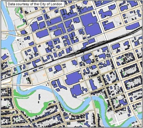
This vector data resource provides topographic and planning information for the City of London, Ontario. This data was delivered to the Library by the City of London in 2003 with updates and additional features received thereafter up until 2023.
Further municipal data updates for the City of London are available on-line through Scholars GeoPortal:http://geo2.scholarsportal.info/ as well as the City of London Open Data Site.
This resource includes the following vector coverages:
This data set is available in Universal Tranverse Mercator (UTM) co-ordinates; horizontal datum is North American Datum (NAD) 83 UTM zone 17. Data are stored as Esri shapefiles. Other data formats can be accommodated, as the Geospatial Centre has access to a number of conversion utilities.
To request this data, please fill out the Ask-Us form and include which layers (shapefiles) you are interested in obtaining. The dataset will be shared with you via OneDrive upon completion of the data release agreement form. You may also make an in-person appointment using the same form.
These data are provided for personal use for academic, research, and/or teaching purposes. A data release agreement must be agreed to before these licensed data can be released. The City of London must be acknowledged on any derivative product, whether printed or electronic, including for example, a printed map, a raster or vector graphic, a web-based application, etc. Patrons are advised to fully respect the provisions of Canada's Copyright Act as well as terms and conditions imposed by the data provider.
The City of London Municipal Data [computer file]. London, Ontario: The City of London, [2013].