Contact the Geospatial Centre
Dana Porter Library, Room 328
University of Waterloo Library
Waterloo, Ontario N2L 3G1
Email: librarygeo@uwaterloo.ca
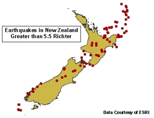
Global GIS is a collection of geospatial data produced by the United States Geological Survey (USGS) and Environmental Systems Research Institute (Esri). This resource contains public domain geospatial data covering the globe at a scale of 1:1 million. This resource covers a wide variety of features, from topographic data, to government boundaries, to population and geology.
These data sets are available in geographic co-ordinates. These data are stored as Esri shapefiles. Other data formats can be accommodated, as the Geospatial Centre has access to a number of conversion utilities.
To request this data, please fill out the Ask-Us form and include which layers (shapefiles) you are interested in obtaining. The dataset will be shared with you via OneDrive upon completion of the data release agreement form. You may also make an in-person appointment using the same form.
This material is provided for academic, research, teaching, and personal use only. A data release agreement must be signed before the data is delivered. Esri should be acknowledged on any derivative product, such as a map or an image.
Esri Global GIS [computer file]. Redlands, California: Environmental Systems Research Institute, [2003].