Contact the Geospatial Centre
Dana Porter Library, Room 328
University of Waterloo Library
Waterloo, Ontario N2L 3G1
Email: librarygeo@uwaterloo.ca
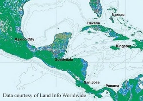
Received from LandInfo Worldwide Mapping, VMap (Vector Map Level 0), version 5, provides seamless world coverage of many topographic map themes. The original Vector Smart Map (VMAP) files were created by the United States Defense Mapping Agency, based on the Digital Chart of the World 1:1,000,000. Version 5 is based on the newest editions of the 1:1,000,000 Operational Navigation Charts, published by the United States National Imagery and Mapping Agency on September 30, 2000.
Although coverage for some layers is near worldwide, other layers are less extensive. There are some parts of the world where no data are available.
These data sets are available in geographic co-ordinates; horizontal datum is World Geodetic System 1984 (WGS84). They are stored in two formats: shapefile and .TAB files. Other data formats can be accommodated, as the Geospatial Centre has access to a number of conversion utilities. Files sizes vary from 30 KB to 559 MB, many being less than 28 MB.
To request this data, please fill out the Ask-Us form and include which layers (shapefiles) you are interested in obtaining. The dataset will be shared with you via OneDrive upon completion of the data release agreement form. You may also make an in-person appointment using the same form.