Thursday, June 11, 2020
Water Institute member awarded major grant towards building strong small-scale fisheries across the globe
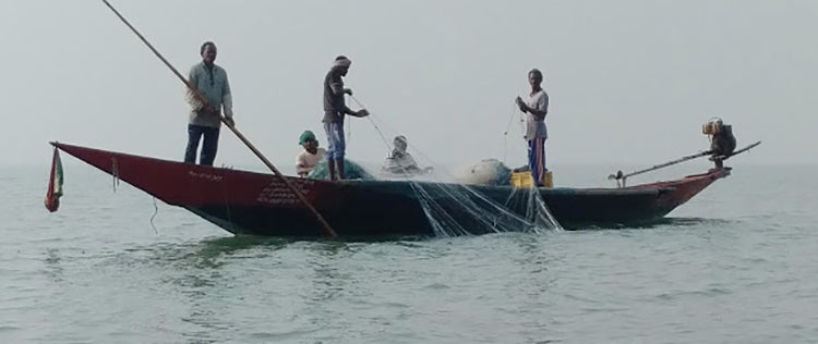
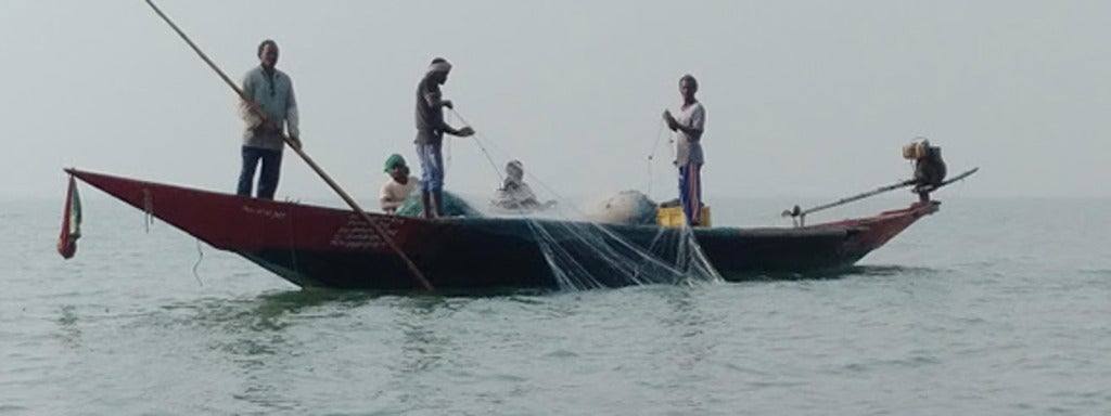
Cooperation and collective action are features of many traditional small-scale fisheries: Fishing in the Bay of Bengal, South Asia.