Data access
Full access to our resources is available to current students, faculty, and staff of the University of Waterloo. To request access, please complete the Ask-Us form indicating the specific layers (shapefiles) you require. Upon completion of the data release agreement form, the dataset will be provided to you via OneDrive.
In-person consultations may also be requested through the Ask-Us form.
Description
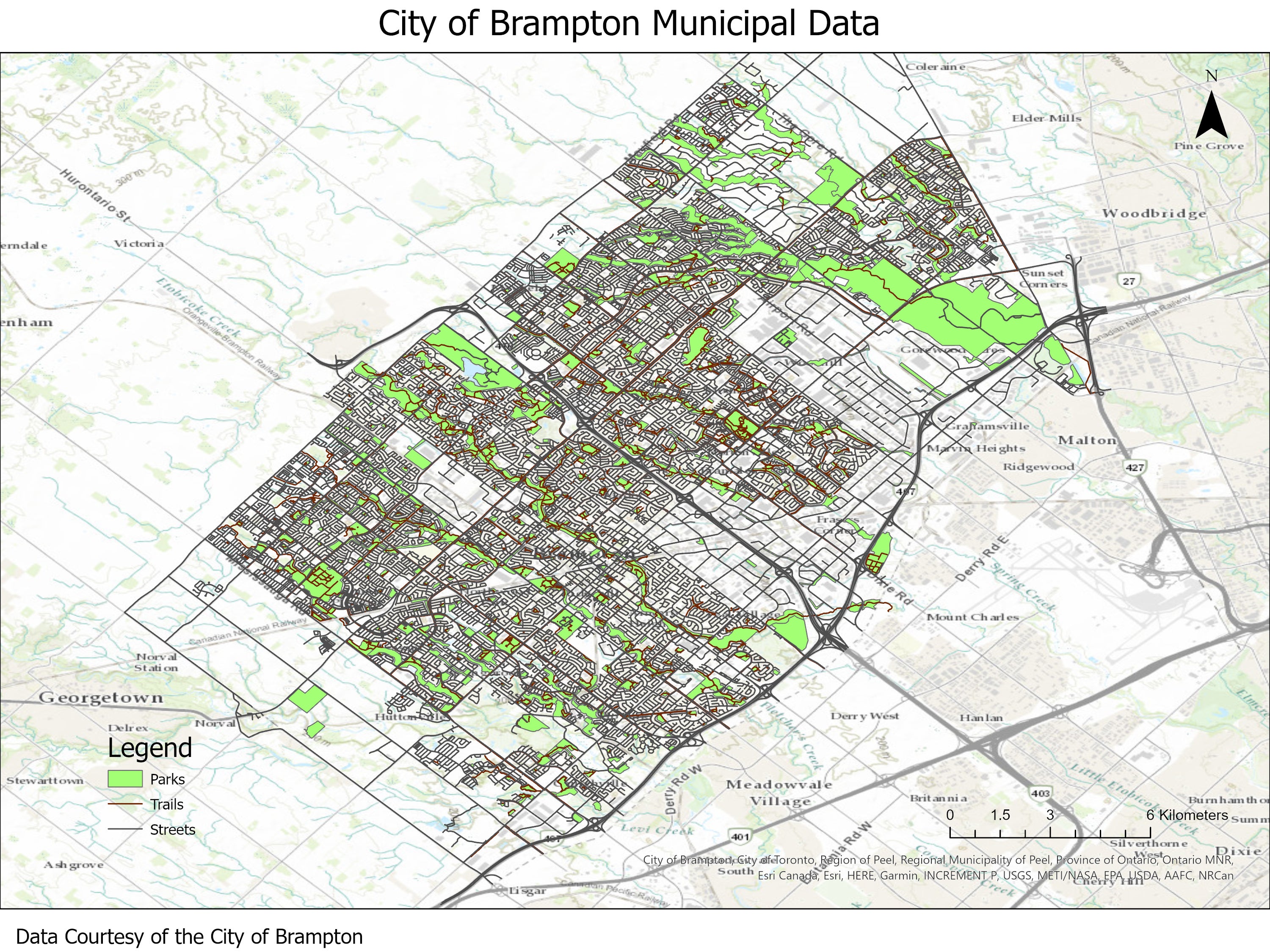
This data resource provides topographic and planning information for the City of Brampton, Ontario and was received with orthophotos from the City of Brampton on July 4, 2008, updated in March 2014, and again in 2024 from Brampton's GeoHub.
The resource includes the following vector coverages.
- bridges
- buildings
- catch basins (i.e. grates)
- contours (1 metre)
- curbs
- driveways
- fences
- fire stations
- guard rails
- heritage points
- hospitals
- hydrants
- hydrology
- hydro-poles
- manholes
- official plan land use
- painted lines
- parking lots
- parks
- libraries
- light poles
- railway
- recreational trails
- road (double-line)
- schools
- sidewalks
- streets (single-line)
- telecom towers
- transit and ridership (2021-2024)
- turn arrows (left, right, straight through)
- vegetation
- wooded areas
- zoning
Spatial reference and data type
This data set is available in Universal Transverse Mercator (UTM) co-ordinates; horizontal datum is North American Datum (NAD) 83 UTM zone 17. Data are stored as Esri shapefiles. Other data formats can be accommodated, as the Geospatial Centre has access to a number of conversion utilities.
Use restrictions/licensing/copyright
These data are provided for personal use for academic, research, and/or teaching purposes. A data release agreement must be agreed to before these licensed data can be released. The City of Brampton must be acknowledged on any derivative product, whether printed or electronic, including for example, a printed map, a raster or vector graphic, a web-based application, etc. Patrons are advised to fully respect the provisions of Canada's Copyright Act as well as terms and conditions imposed by the data provider.
Citation
The City of Brampton municipal data [computer file]. Brampton, Ontario: The City of Brampton, [2024].
Sample view of the data