Data access
Full access to our resources is available to current students, faculty, and staff of the University of Waterloo. To request access, please complete the Ask-Us form indicating the specific layers (shapefiles) you require. Upon completion of the data release agreement form, the dataset will be provided to you via OneDrive.
In-person consultations may also be requested through the Ask-Us form.
Description
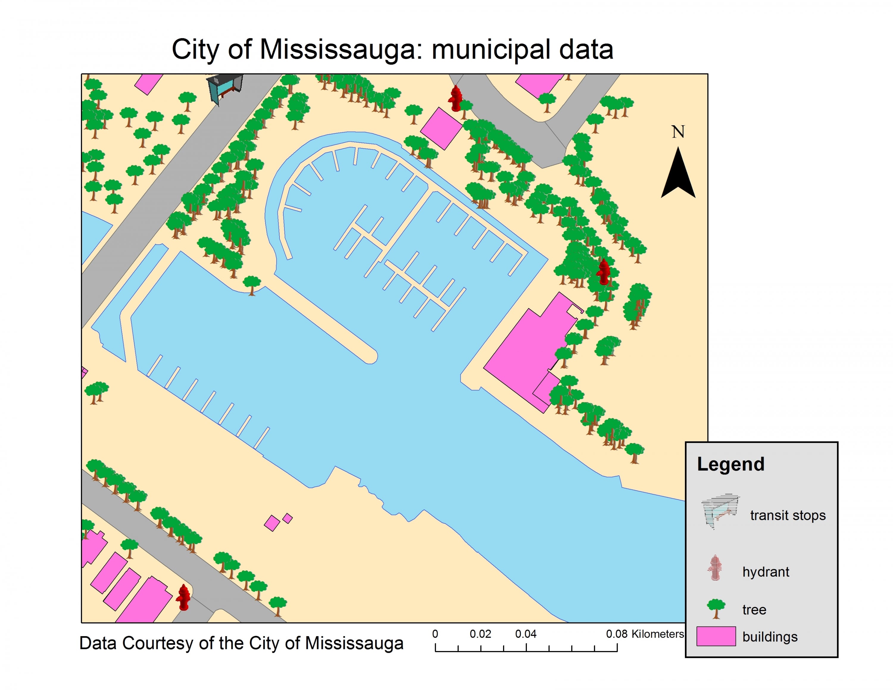
The City of Mississauga data is accessible through both Scholars GeoPortal, and also the Geospatial Centre. Data ranges from 2012 - 2024 and includes the following vector and/or CAD coverages:
| Address points | Property fabric (CAD) |
| Bridge/culvert/ditch | Property parcels |
| Building footprints | Rail |
| City boundary (CAD) | Relief (CAD) |
| City owned property | Road |
| Civic numbers (CAD) | Schools |
| Contours (1 metre) | Sidewalk |
| Dem (CAD) | Spot heights |
| Driveway | Steam main/node |
| Hydrant | Transit routes |
| Fire stations | Trees - City owned |
| Landmarks (CAD) | Transit stops |
| Triangulated surfaces (CAD) | |
| Parking lots | Vegetation (CAD) |
| Parks | Utility |
| Pedestrian trails | Ward boundaries |
| Planimetric (CAD) | Water boundaries |
| Policy code | Watersheds |
| Pool | Wooded/hedged area |
| Postal code shapes (LDU) | Zoning/land use |
Spatial reference and data type
These data sets are available in Universal Transverse Mercator (UTM) co-ordinates; horizontal datum is North American Datum (NAD) 83, zone 17N. Data are stored as Esri shapefiles and/ or CAD files. Other data formats can be accommodated, as the Geospatial Centre has access to a number of conversion utilities.
Use restrictions/ licensing/ copyright
These data are provided for personal use for academic, research, and/or teaching purposes. A data release agreement must be agreed to before these licensed data can be released. The City of Mississauga must be acknowledged on any derivative product, whether printed or electronic, including, for example, a printed map, a raster or vector graphic, a web-based application, etc. Patrons are advised to fully respect the provisions of Canada's Copyright Act as well as the terms and conditions imposed by the data provider.
Citation
The City of Mississauga, Municipal Data [computer file]. Mississauga, Ontario [2012 - 2020].
Sample view of data