Data access
Full access to our resources is available to current students, faculty, and staff of the University of Waterloo. To request access, please complete the Ask-Us form indicating the specific layers (shapefiles) you require. Upon completion of the data release agreement form, the dataset will be provided to you via OneDrive.
In-person consultations may also be requested through the Ask-Us form.
Description
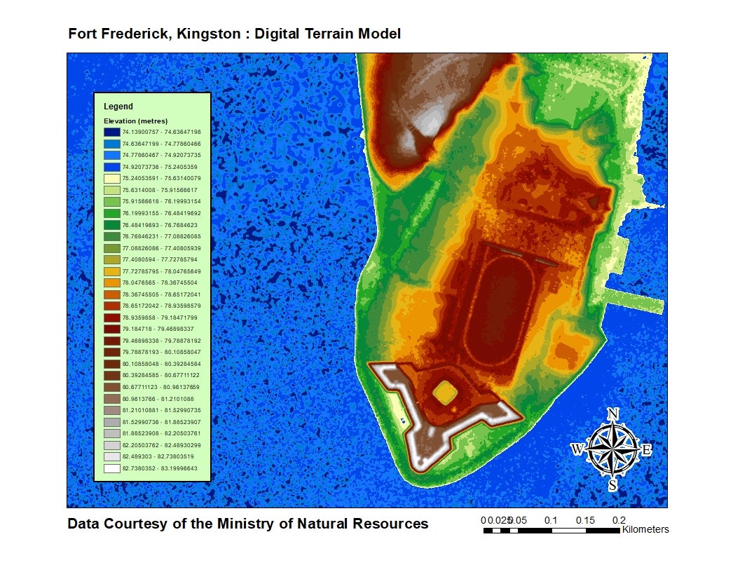
LIDAR Eastern Acquisition Project (LEAP), Digital Terrain Model (DTM) 2009 consists of a 1 metre resolution Digital Terrain Model based upon elevation information derived from returns collected by an airborne lidar sensor. The data was acquired and delivered during May and December 2009.
Click on map to open index in Google Earth
Spatial reference and data type
These data are available in geographic co-ordinates; horizontal datum is North American Datum (NAD) 83, UTM zone 18N. These rasters are stored as 1km square tiles. Other data formats can be accommodated as the Geospatial Centre has access to a number of conversion utilities.
Use restrictions/ licensing/ copyright
These data are provided for personal use for academic, research, and/or teaching purposes. A data release agreement must be agreed to before these licensed data can be released. The Ontario Ministry of Natural Resources must be acknowledged on any derivative product, whether printed or electronic, including for example, a printed map, a raster or vector graphic, a web-based application, etc. Patrons are advised to fully respect the provisions of Canada's Copyright Act as well as terms and conditions imposed by the data provider.
Citation
Ministry of Natural Resources [computer file]. Toronto, Ontario: The Ontario Ministry of Natural Resources, [2009].
Sample view of the data