Data access
Full access to our resources is available to current students, faculty, and staff of the University of Waterloo. To request access, please complete the Ask-Us form indicating the specific layers (shapefiles) you require. Upon completion of the data release agreement form, the dataset will be provided to you via OneDrive.
In-person consultations may also be requested through the Ask-Us form.
Description
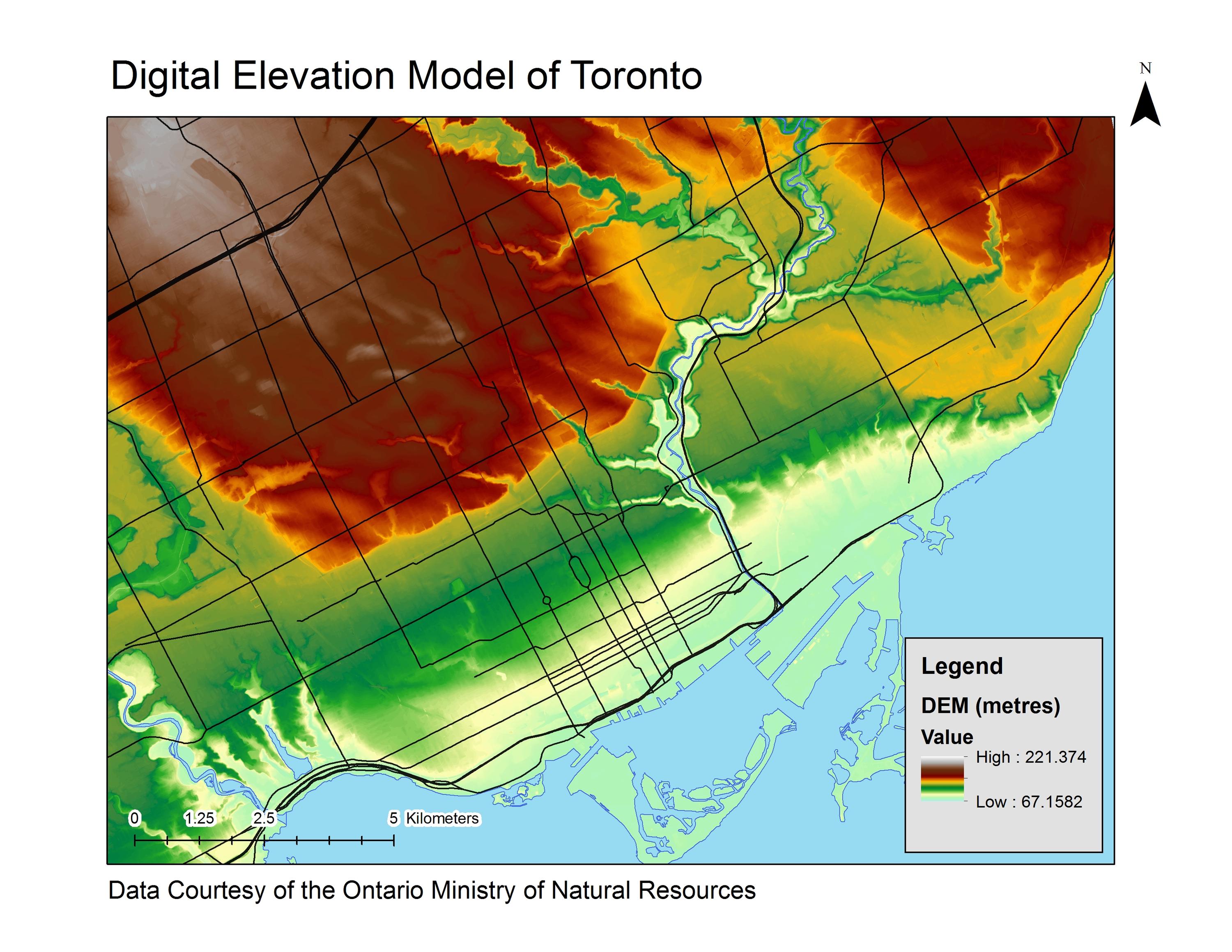
Received from the Ontario Ministry of Natural Resources, these data packages provide digital elevation models (DEMs) for Southern Ontario and parts of the northeast and northwest of Ontario. These DEMs come from the following data packages:
- Greater Toronto Area (GTA 2002) (5 metre resolution)
- Central Ontario Orthophotography Project (COOP 2016) (2 metre resolution)
- Digital Raster Acquisition Project East (DRAPE 2014) (2 metre resolution)
- North West Ontario Orthophotography Project (NWOOP 2017) (2 metre resolution)
- South Central Ontario Orthoimagery Project (SCOOP 2013, 2023) (2 metre resolution)
- South Western Ontario Orthoimagery Project (SWOOP 2015) (2 metre resolution)
Spatial reference and data type
These data are available in geographic co-ordinates; horizontal datum is North American Datum (NAD) 83, UTM zone 17N. These rasters are stored as 1km square tiles. Other data formats can be accommodated as the Geospatial Centre has access to a number of conversion utilities.
Use restrictions/ licensing/ copyright
These data are provided for personal use for academic, research, and/or teaching purposes. A data release agreement must be agreed to before these licensed data can be released. The Ontario Ministry of Natural Resources must be acknowledged on any derivative product, whether printed or electronic, including for example, a printed map, a raster or vector graphic, a web-based application, etc. Patrons are advised to fully respect the provisions of Canada's Copyright Act as well as terms and conditions imposed by the data provider.
Citation
Ministry of Natural Resources [computer file]. Toronto, Ontario: The Ontario Ministry of Natural Resources, [2023].
Sample view of the data