Data access
Full access to our resources is available to current students, faculty, and staff of the University of Waterloo. To request access, please complete the Ask-Us form indicating the specific layers (shapefiles) you require. Upon completion of the data release agreement form, the dataset will be provided to you via OneDrive.
In-person consultations may also be requested through the Ask-Us form.
Description
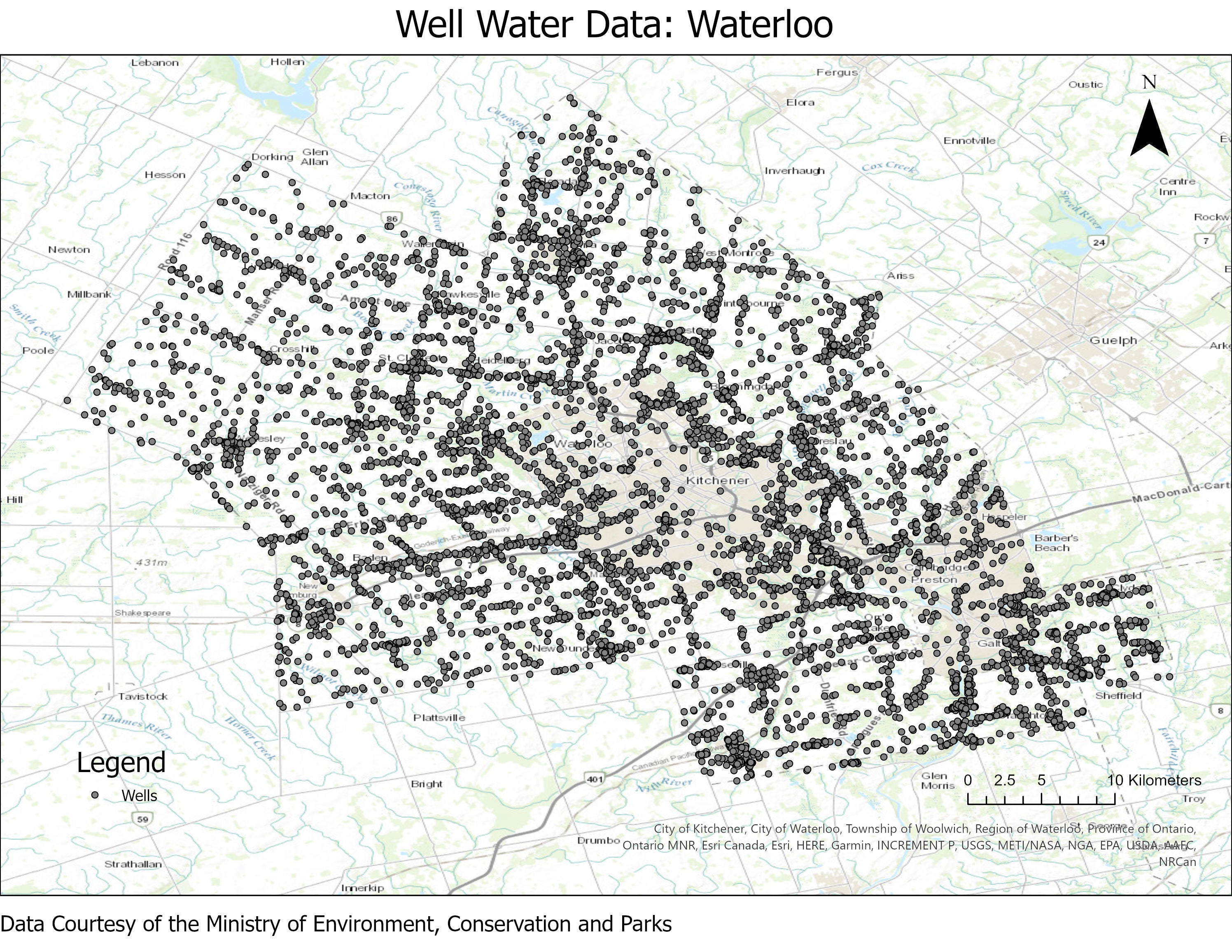
This data resource provides well water log information for the Municipality of Waterloo, Wellington, and Brant County. This data was received in ASCII text format, from the Ontario Ministry of the Environment in November 2003. Wellington County data was received in May 2004. More recent data is available from: https://data.ontario.ca/dataset/well-records
The data includes the following well information:
- Location
- Date constructed
- Depth of water
- Kind of water
- Casing diameter
- Casing depth
- Casing material
- Test method
- Pump rate
- Pump duration
- Pump level
- Flow rate of flowing well
- Drill method
- Screen length
- Screen depth
- Depth of well
- Inground material type
- Inground material colour
Spatial reference and data type
This data is available in Universal Transverse Mercator (UTM) co-ordinates; horizontal datum is North American Datum (NAD) 83. The data is provided as an ASCII data file (i.e. text file) and can be imported into a text or database program of your choice. Geographic Information System (GIS) software can be used to view the well water point layers.
Use restrictions/licensing/copyright
This material is provided for academic, research, teaching, and personal use only. A data release agreement must be agreed to before the data is delivered.
Citation
Regional Municipality of Waterloo Well Water Data[computer file]. Ottawa, Ontario: Ministry of the Environment, [2003].
Brant County Well Water Data[computer file]. Ottawa, Ontario: Ministry of the Environment, [2003].
Wellington County Well Water Data[computer file]. Ottawa, Ontario: Ministry of the Environment, [2003].
Sample view of the data