Contact the Geospatial Centre
Dana Porter Library, Room 328
University of Waterloo Library
Waterloo, Ontario N2L 3G1
Email: librarygeo@uwaterloo.ca
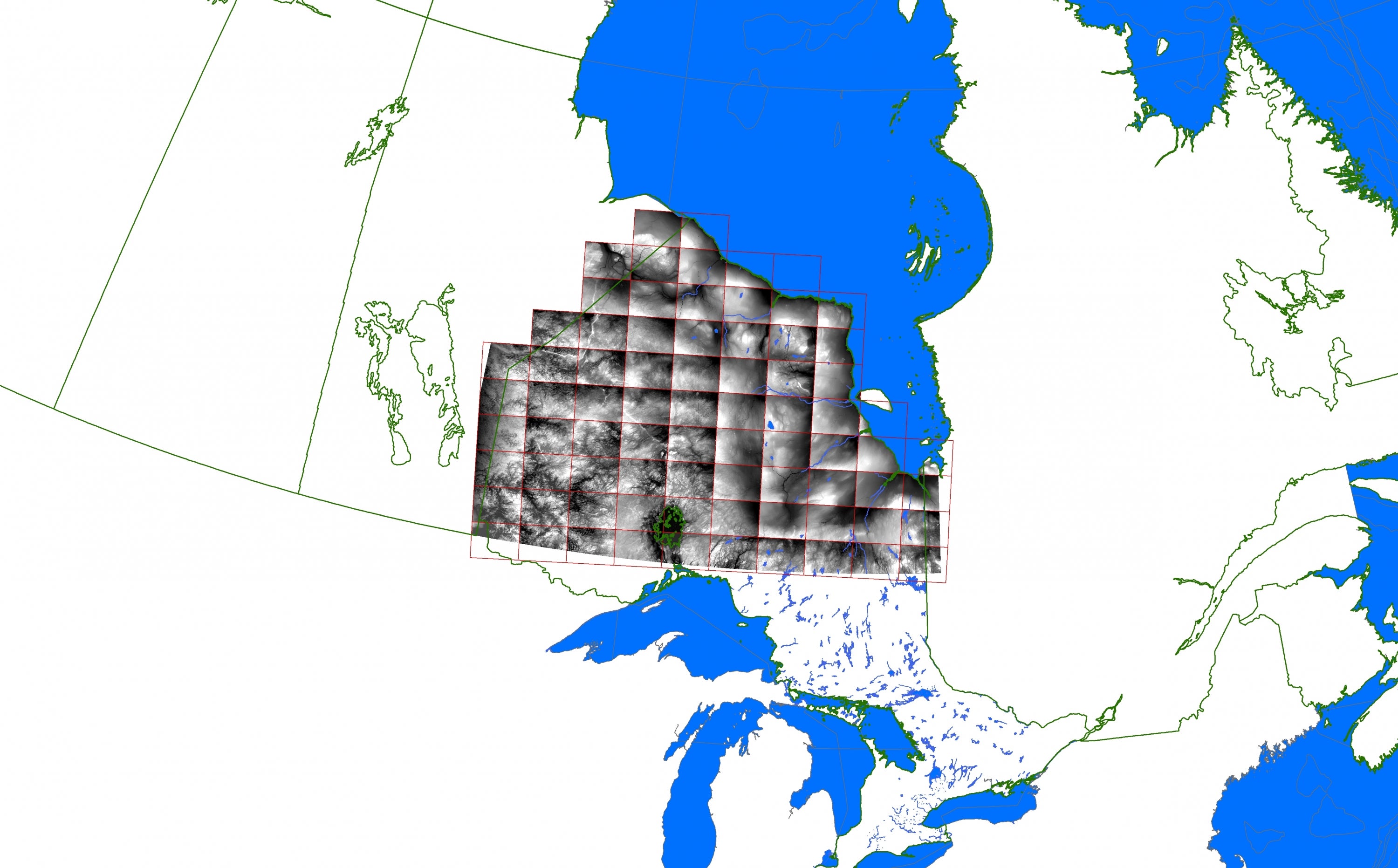
NRVIS layers which provide basic topographic coverage of the province are referred to as NRVIS fundamental layers. In the past this information was published by the Ontario Ministry of Natural Resources as Ontario Base Maps (OBM) at 1:10,000 (southern Ontario) and 1:20,000 scales (northern Ontario). Access to these basic topographic 'fundamental' coverage layers is available via the Geospatial Centre or through the Ontario Ministry of natural Resources online 'Ontario Base Mapping' site via the Geography Network.
These NRVIS datasets provide fundamental or base information for the province and include: ground relief, digital elevation model (DEM), drainage, buildings, roads, railways and other physical and cultural features; please see a more complete list below. Non-fundamental NRVIS layers are also available and they are those which deal with wildlife and natural area management; these layers include: wildlife feeding areas, nesting sites, areas of natural or scientific interest, and recreation routes. Please refer to the metadata of layers available, however please note that some layers pertain only to specific geographical areas.
Available data resources:
These data are available in geographic co-ordinates; horizontal datum is North American Datum (NAD) 83. These data are stored as Esri shapefiles. Other data formats can be accommodated as the Geospatial Centre has access to a number of conversion utilities.
To request this data, please fill out the Ask-Us form and include which layers (shapefiles) you are interested in obtaining. The dataset will be shared with you via OneDrive upon completion of the data release agreement form. You may also make an in-person appointment using the same form.
These data are provided for personal use for academic, research, and/or teaching purposes. A data release agreement must be agreed to before these licensed data can be released. The Ontario Ministry of Natural Resources must be acknowledged on any derivative product, whether printed or electronic, including for example, a printed map, a raster or vector graphic, a web-based application, etc. Patrons are advised to fully respect the provisions of Canada's Copyright Act as well as terms and conditions imposed by the data provider.
Natural Resources and Values Information System [computer file]. Toronto, Ontario: The Ontario Ministry of Natural Resources, [2011].


