Contact the Geospatial Centre
Dana Porter Library, Room 328
University of Waterloo Library
Waterloo, Ontario N2L 3G1
Email: librarygeo@uwaterloo.ca
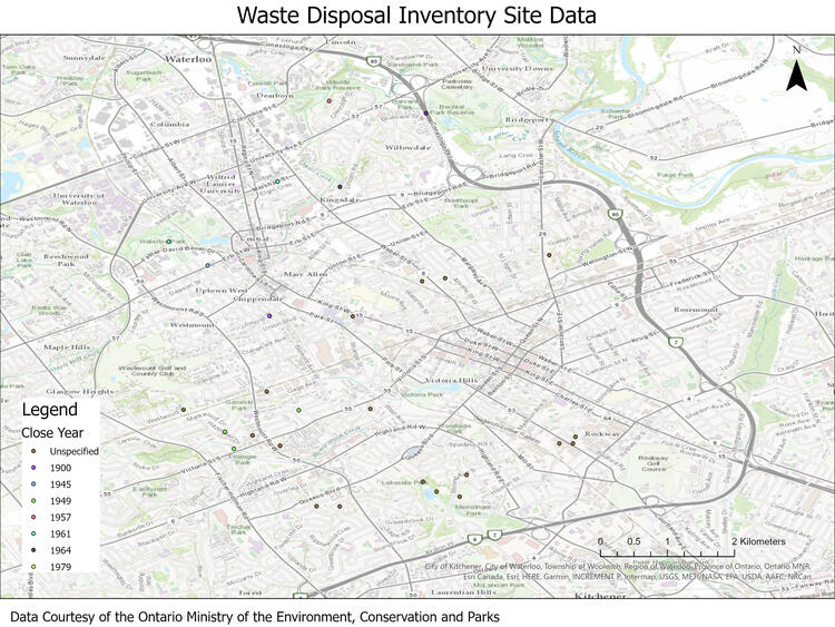
This data resource provides the locations of all active and inactive waste disposal sites in Ontario. This data is based on the 1991 publication "Waste Disposal Site Inventory" published by the Ontario Ministry of the Environment. More recent data is available from https://data.ontario.ca/dataset/waste-management-site
The data includes the following waste disposal site information:
This data is available in Universal Transverse Mercator (UTM) co-ordinates; horizontal datum is North Amercan Datum (NAD) 83. These data are stored as Esri shapefiles. Other data formats can be accommodated, as the Geospatial Centre has access to a number of conversion utilities.
To request this data, please fill out the Ask-Us form and include which layers (shapefiles) you are interested in obtaining. The dataset will be shared with you via OneDrive upon completion of the data release agreement form. You may also make an in-person appointment using the same form.
This material is provided for academic, research, teaching, and personal use only. A data release agreement must be agreed to before the data is delivered. The Ontario Ministry of Municipal Affairs and Housing should be acknowledged on any derivative product, such as a map or an image.
Waste Disposal Site Inventory [computer file]. Ottawa, Ontario: Ministry of the Environment, [1991].