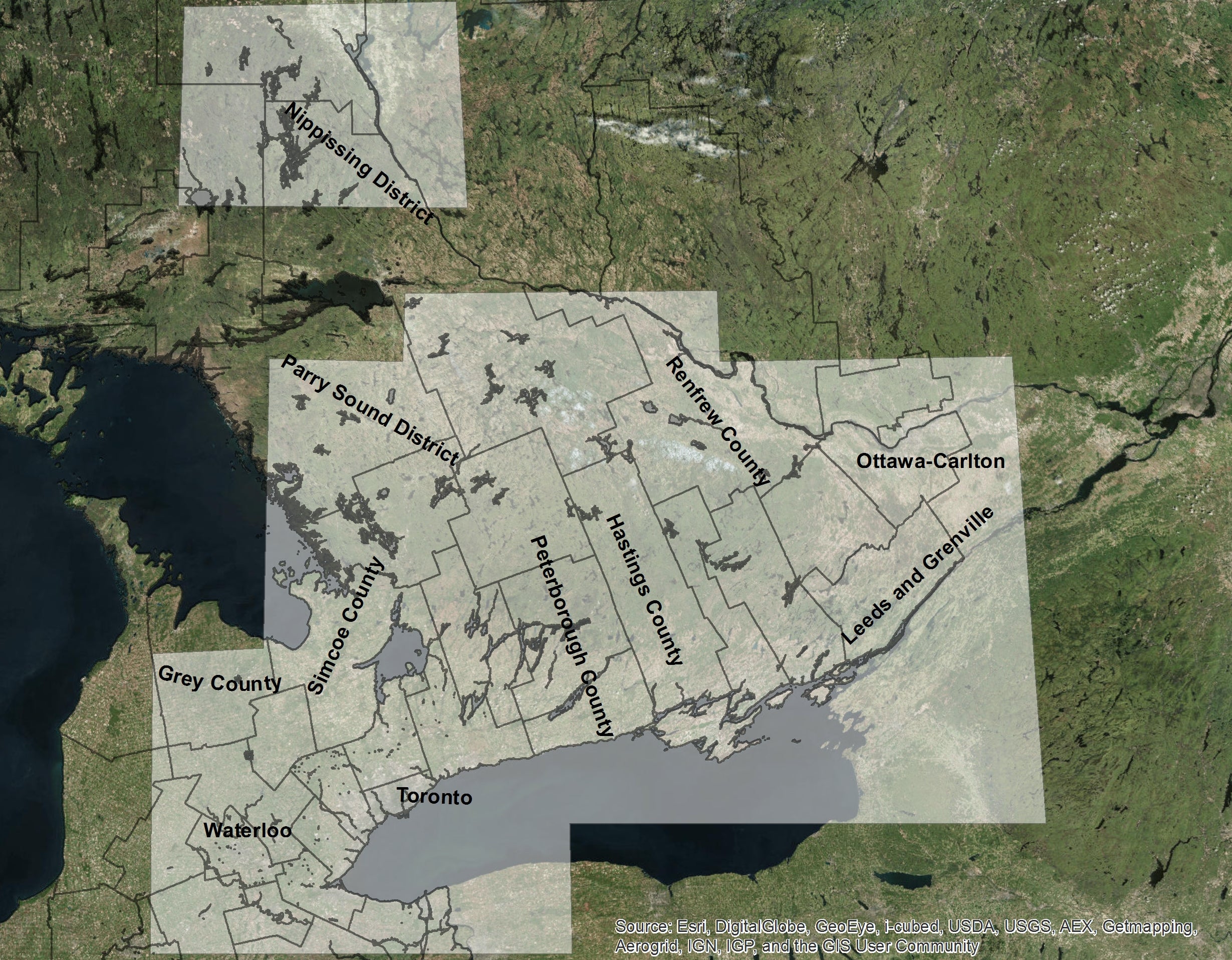
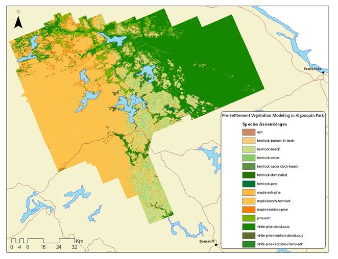
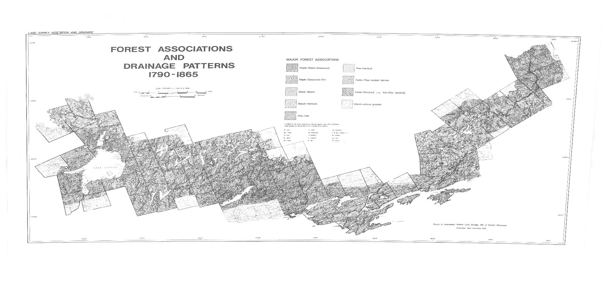
Discription

The City of Mississauga data is accessible through both Scholars GeoPortal, and also the Geospatial Centre. Data ranges from 2012 - 2023 and includes the following vector and/ or CAD coverages:

Vector and/ or CAD file coverages
Address points Property fabic (CAD)
Bridge/ culvert/ ditch Property parcels
Building footprints Rail
City boundary (CAD) Relief (CAD)
City owned property Road
Civic numbers (CAD) Schools
Contours (1 metre) Sidewalk
Dem (CAD) Spot heights
Driveway Steam main/ node/
Hydrant Transit routes
Fire stations Trees - City owned
Landmarks (CAD) Transit steps
Official plan (2010) Triangulated surfaces (CAD)
Parking lots Vegetation (CAD)
Parks Utility
Pedestrian trails Ward boundaries
Planimetric (CAD) Water boundaries
Policy code Watersheds
Pool Wooded/ hedge area
Postal code shapes (LDU) Zoning/ landuse

Spatial reference and data type

These data sets are available in Universal Transverse Mercator (UTM) co-ordinates; horizontal datum is North American Datum (NAD) 83, zone 17N. Data are stored as Esri shapefiles and/ or CAD files. Other data formats can be accommodated, as the Geospatial Centre has access to a number of conversion utilities.

Data access

To request this data, please fill out the Ask-Us form and include which layers (shapefiles) you are interested in obtaining. The dataset will be shared with you via OneDrive upon completion of the data release agreement form. You may also make an in-person appointment using the same form.

Use restrictions/ licensing/ copyright

These data are provided for personal use for academic, research, and/or teaching purposes. A data release agreement must be agreed to before these licensed data can be released. The City of Mississauga must be acknowledged on any derivative product, whether printed or electronic, including for example, a printed map, a raster or vector graphic, a web-based application, etc. Patrons are advised to fully respect the provisions of Canada's Copyright Act as well as terms and conditions imposed by the data provider.

Citation

The City of Mississauga, Municipal Data [computer file]. Mississauga, Ontario [2012 - 2020].

Sample view of data

City of Mississauga municipal data, showing harbour, trees, hydrants and buildings