EV1-233,
ext.
48158
quinn.lewis@uwaterloo.ca
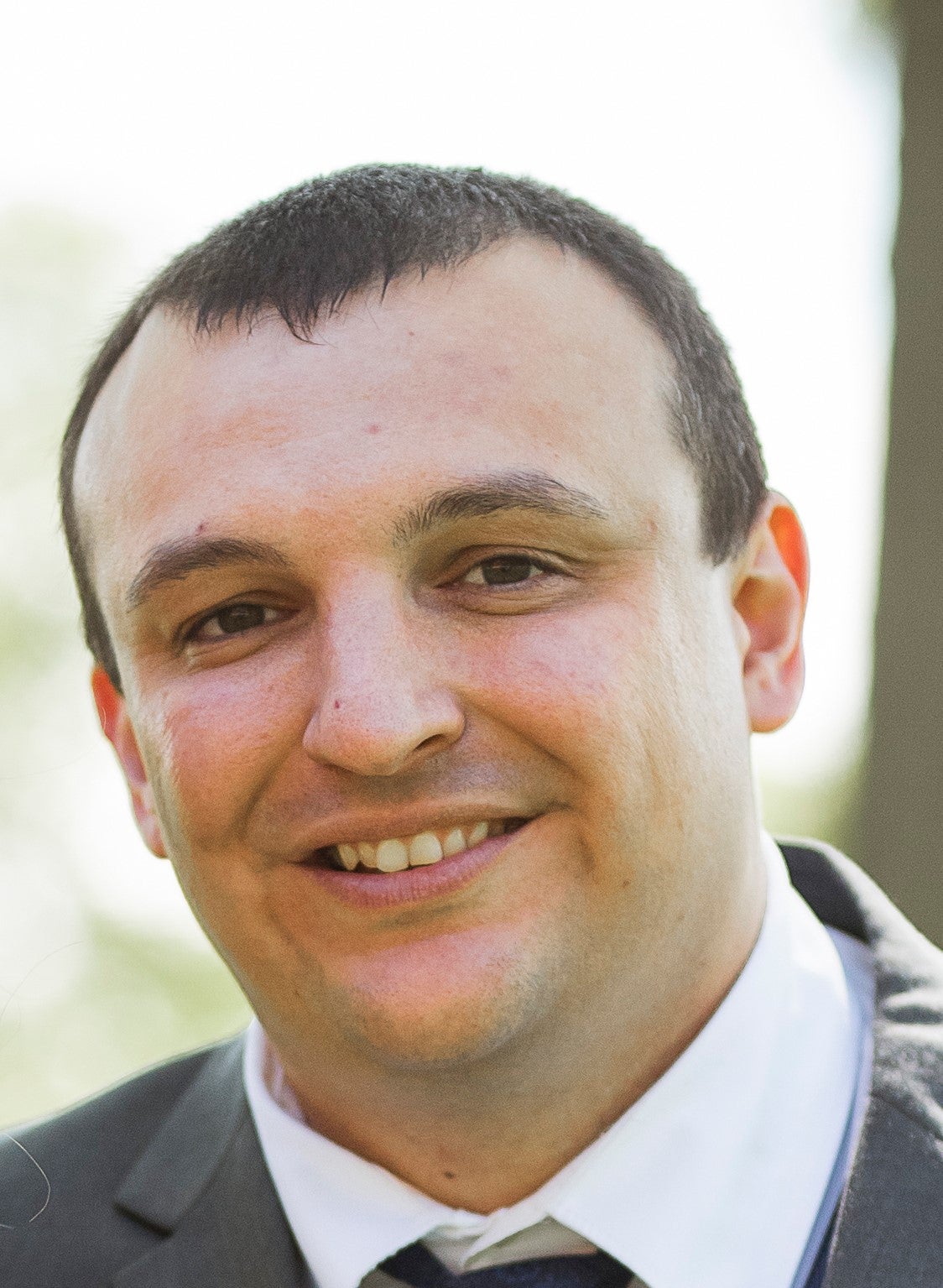
Quinn joined the department in 2020 after a 2-year post-doc at Indiana University, where he used UAVs to study erosional processes on rivers and the effects of tree uprooting on hillslope morphology. His previous work spans from studies on the fluid dynamics of river confluences to using citizen-produced imagery datasets in physical geography. Quinn’s current research focuses on morphology and evolution of fluvial landscapes, with the unifying theme of research on process, form, and the transfer of material and energy that links the two.
Key
Areas
of
Graduate
Supervision
fluvial
geomorphology,
water
resources,
hillslope
erosion
and
watershed
processes,
remote
sensing
of
rivers,
UAVs
Recent
Courses
Taught
TBA
Research
Interests
My
research
is
focused
broadly
on
the
trinity
of
physical
process,
physical
form,
and
energy
and
material
transfer
that
links
the
two.
A
current
project
that
demonstrates
this
theme
is
research
on
the
process
of
river
cutoff
–
when
rivers
suddenly
take
a
more
efficient
path
downslope
and
abandon
their
former
channels.
This
process
results
in
characteristic
landforms,
which
I
study
with
field
and
remote
sensing
techniques.
A
fundamental
goal
of
this
research
is
to
better
understand
how
and
when
rivers
take
their
new
course
by
studying
their
form
before
and
after
river
cutoff.
I
combine
these
analyses
of
form
with
data
on
water
discharge
and
sediment
transport
during,
before,
and
after
cutoff,
which
provides
a
more
complete
understanding
of
the
entire
cutoff
process.
I
am
actively
translating
these
results
to
the
global
scale
to
elucidate
how
the
river
cutoff
process
changes
with
space
and
time.
Much
of
my
past
and
current
research
has
leveraged
state-of-the-art
technology
to
improve
our
understanding
of
dynamic
and
interrelated
physical
processes
and
landforms.
Although
my
work
occurs
mainly
in
the
field,
I
also
use
and
work
with
those
who
use
remote
sensing
and
modeling.
I
also
focus
on
interdisciplinary
research
that
crosses
scales.
Some
examples
of
my
active
research
projects
include
studying
how
trees
directly
influence
hillslope
morphology
using
field
data
and
modeling,
using
citizen
science
to
assess
human-induced
erosion
and
vandalism
at
rock
outcrops,
and
developing
new
techniques
to
study
lake
and
reservoir
water
levels
globally
with
remote
sensing.
See
Dr.
Lewis'
personal
website
here.
Recent
Publications
- Lewis, Q.W., Edmonds, D.A., and Yanites, B.J. in press. Integrated UAS and LIDAR Reveals the Importance of Land Cover and Flood Magnitude on the Formation of Incipient Chute Scours and Chute Cutoff Development. Earth Surface Processes and Landforms.
- Park, E., Lewis, Q.W., and Sanwlani, N. 2019. Large Lake Gauging using Fractional Imagery. Journal of Environmental Management. 231, 687-693. doi.org/10.1016/j.jenvman.2018.10.044.
- Lewis, Q.W., and Rhoads, B.L. 2018a. LSPIV Measurements of Two-dimensional Flow Structure in Streams using Small Unmanned Aerial Systems: 1. Accuracy Assessment based on Comparison with Stationary Camera Platforms and In-stream Velocity Measurements. Water Resources Research. doi.org/10.1029/2018WR022550.
- Lewis, Q.W., and Rhoads, B.L. 2018b. LSPIV Measurements of Two-dimensional Flow Structure in Streams using Small Unmanned Aerial Systems: 2. Hydrodynamic Mapping at River Confluences. Water Resources Research. doi.org/10.1029/2018WR022551.
- Lewis, Q.W., Lindroth, E.M., and Rhoads, B.L. 2018. Integrating Unmanned Aerial Systems and LSPIV for Rapid, Cost-effective Stream Gauging, Journal of Hydrology, doi:10.1016/j.jhydrol.2018.03.008.
- Wang, Y., Wang, D., Lewis, Q.W., Wu, J., and Huang, F. 2017. A framework to assess the cumulative impacts of dams on hydrological regime: a case study of the Yangtze River, Hydrological Processes, 31: 3045-3055. doi:10.1002/hyp.11239.
- Lewis, Q.W., and Park, E. 2017. Volunteered Geographic Videos in Physical Geography: Data Mining from Youtube, Annals of the Association of American Geographers, 5: 1-19. doi:10.1080/24694452.2017.1343658.
- Rhoads, B. L., Lewis, Q.W., and Andresen, W. 2016. Historical Channel Change in an Intensively Managed Landscape: Natural versus Human-induced Effects, Geomorphology, 252: 17-31. doi:10.1016/j.geomorph.2015.04.021.
- Lewis, Q.W., and Rhoads, B.L. 2015b. Resolving two-dimensional flow structure in rivers using large-scale particle image velocimetry: An example from a stream confluence, Water Resources Research. 51.10: 7977-7994. doi:10.1002/2015WR017783.
- Lewis, Q.W., and Rhoads, B.L. 2015a. Rates and Patterns of Temperature Mixing at a Small Stream Confluence under Variable Incoming Flow Conditions, Hydrological Processes, 29:20, p. 4442-4456. doi:10.1002/hyp.10496.