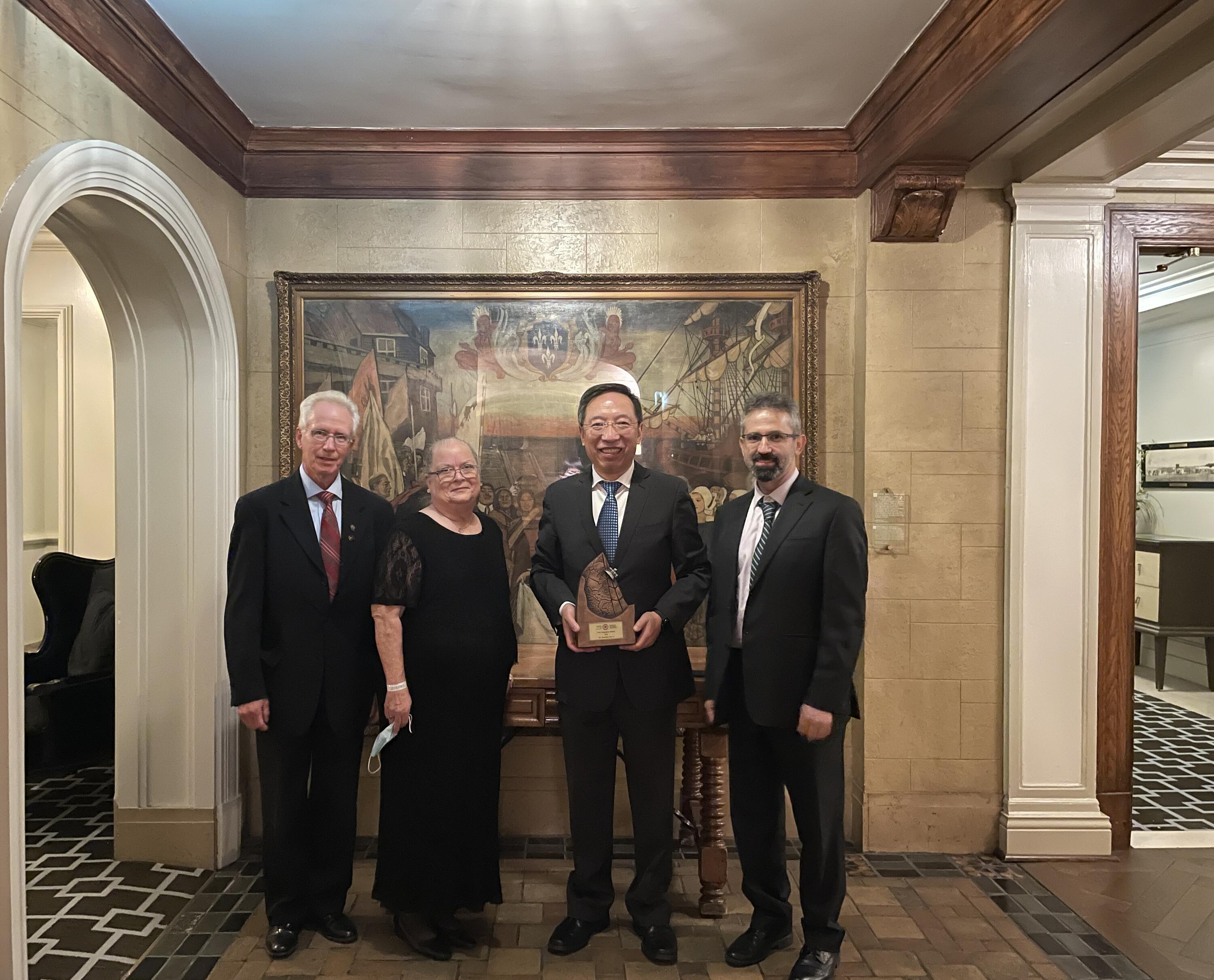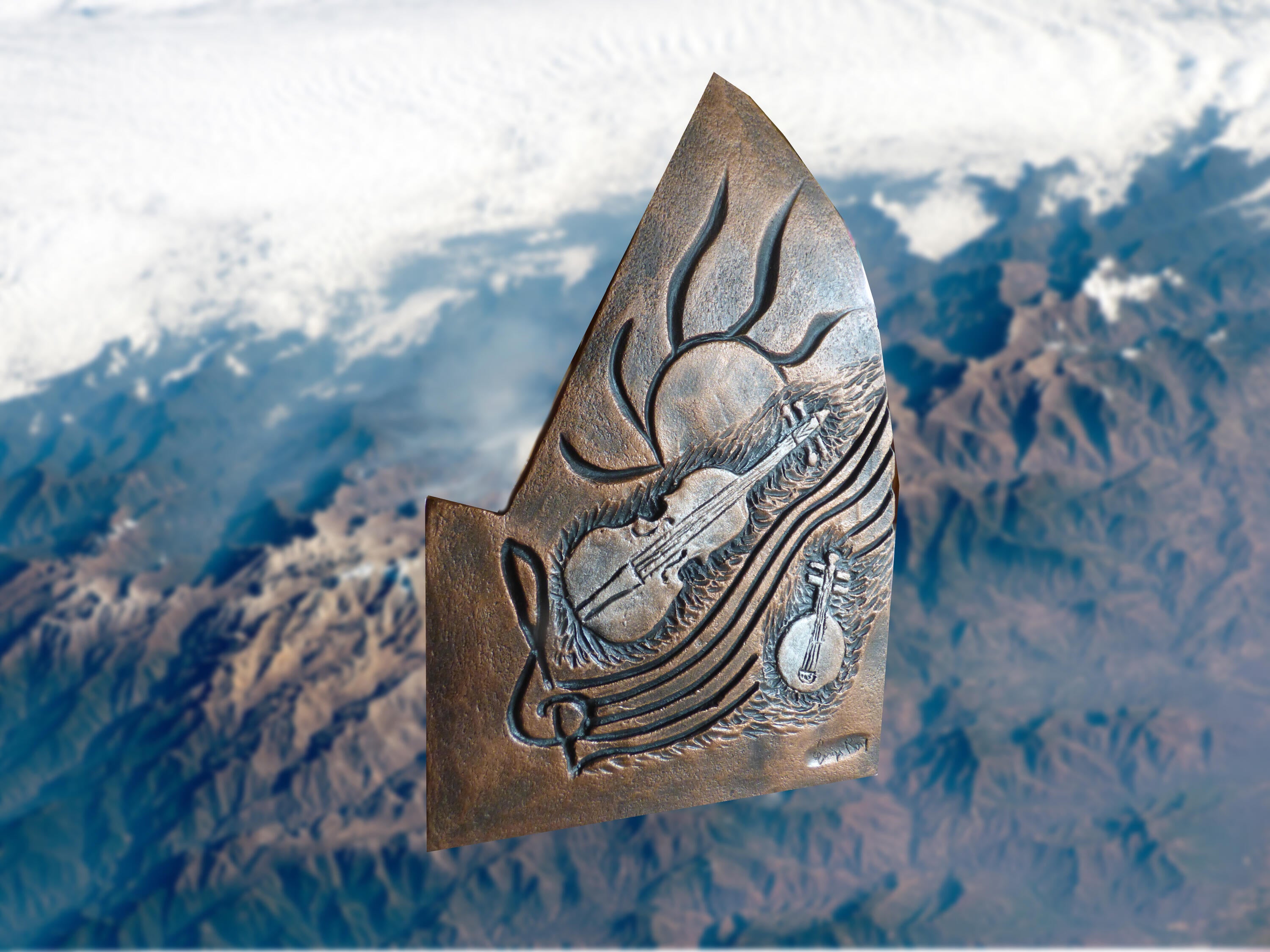
The Geomatica Award is presented by CIG to someone who has contributed to the advancement of geomatics in Canada in an exceptional manner. Li’s extensive research and contributions in urban remote sensing and geospatial data science, especially in intelligent extraction of geometric and semantic information from earth observation images and LiDAR point clouds using artificial intelligence algorithms have significantly impacted the geomatics industry in Canada.
His most recent research assists the generation of HD maps and digital terrain models supporting the global development of sustainable smart cities and autonomous vehicles. “The overall focus of my work with collaborators is to develop and commercialize innovative sensing techniques and analytical methods for processing, visualizing, and applying geospatial data acquired by various passive and active imaging and ranging sensors,” said Li.

“We have partnered and provided services to Agriculture and Agri-Food Canada (AAFC), Environment Canada (EC), Natural Resources Canada (NRCan), Ontario Ministry of Transportation (MTO) amongst others,” said Li.
Li has received over 20 prestigious awards from various international and national organizations in Canada, US, China, and UK for his pioneering contributions in developing and promoting mobile LiDAR mapping technology and significant contributions to the development, organization or professional activities of the photogrammetry, remote sensing, and spatial information sciences.
The list of past winners of the award can be found online here.