New Imagery received from Region of Peel

The Region of Peel has provided the Geospatial Centre with several MrSID mosaics taken in 2020 and 2021. The Region of Peel in its entirety is available at the following resolutions: 7.5cm, 50cm, 1 metre. Individual cities and municipalies like Caledon, Mississauga, and Brampton are available at 7.5cm resolution, in MrSID image format. The Region of Peel, 7.5cm, is over 81 Gigs in size and will require an external hard drive to transfer. 

New Data Received for Spring, 2022

The Geospatial Centre has purchased and acquired a number of new datasets recently:

New Orthoimagery: Peterborough, Owen Sound and North Bay

We have new orthoimagery data recently added to our server and shortly will be made available via Scholars Geoportal. Peterborough 2021, 5cm resolution; Owen Sound, 2020, 20cm, and North Bay, 2020, 20cm. 

Updated Orthoimagery: Waterloo, Toronto, Durham, Guelph

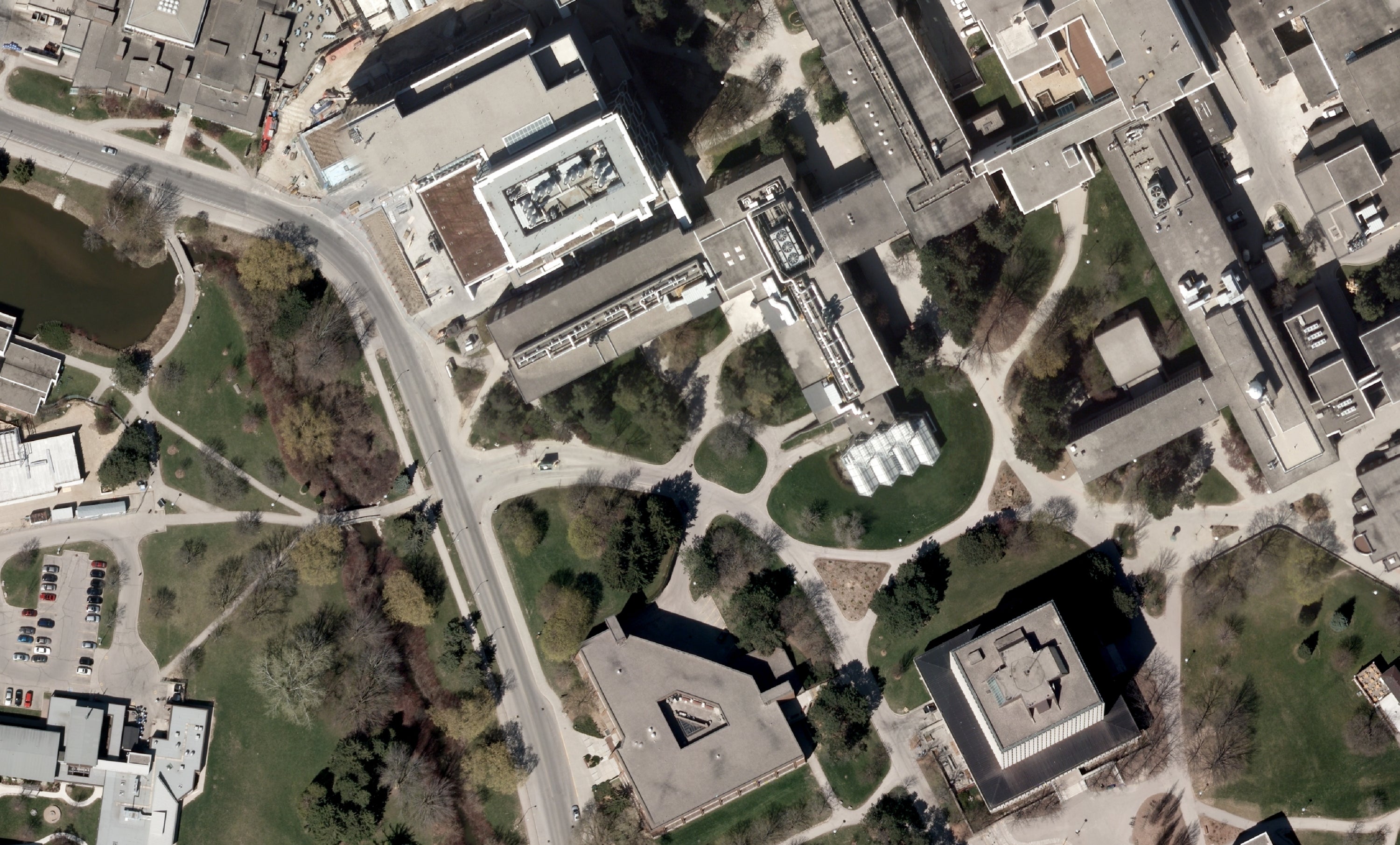
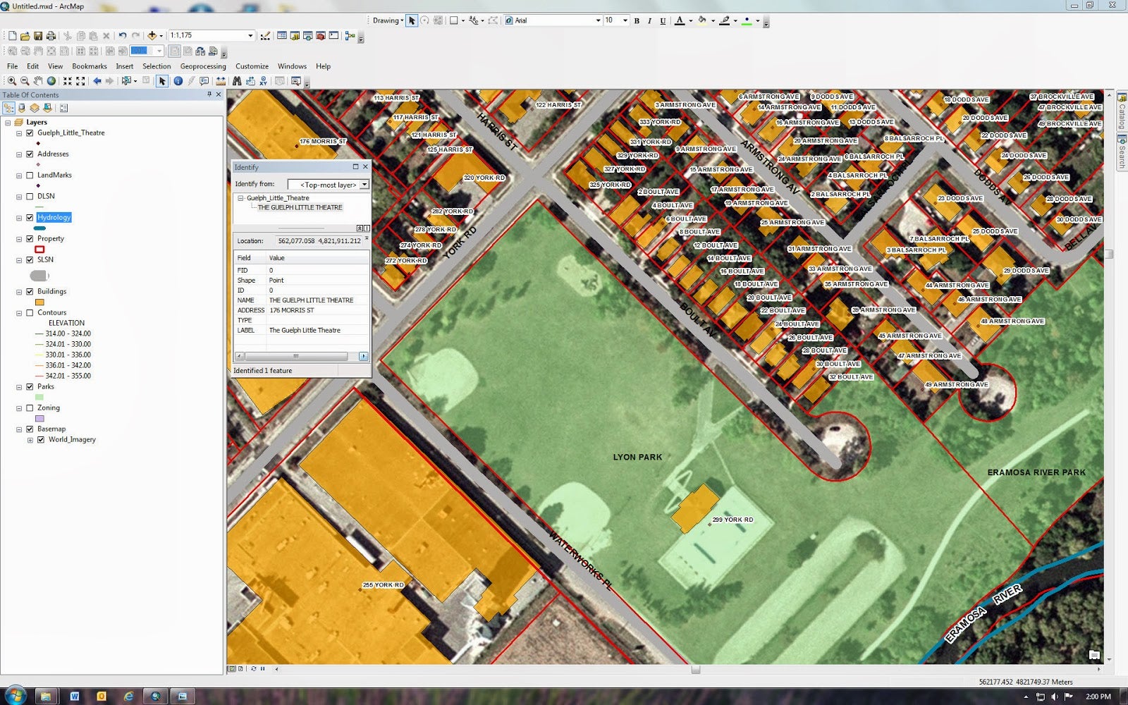
The Geospatial Centre is providing access to updated orthoimagery for a number of cities via the Scholars GeoPortal. We now have 2018 and 2020 Waterloo, 2020 Guelph, 2020 Durham Region and 2020 Toronto. Resolution is between 8cm - 12cm. 

For access, please visit:

Updated 2020 UW Campus Data

We have acquired an update for the UW Campus data. There are a total of 542 data layers covering north and south campus. Currently available in AutoCAD format, however data conversions can be made upon request. 

Updated Orthoimagery

We are in the midst of updating many of our orthoimagery collections. Recently we have acquired Brampton 2020, Mississauga 2020, all of DRAPE 2019 (Ottawa, Kington, etc). These datasets are available also on the Scholars Geoportal. We are still waiting on Region of Waterloo (2018, 2020), Guelph (2020), Toronto (2020) and Durham (2020). SWOOP 2020 will be out this year as well. 

New provincial data from Environics Analytics

The Geospatial Centre has acquired two new data sets this week: Business and Health data from Environics Analytics.

DMTI Data update: 2020

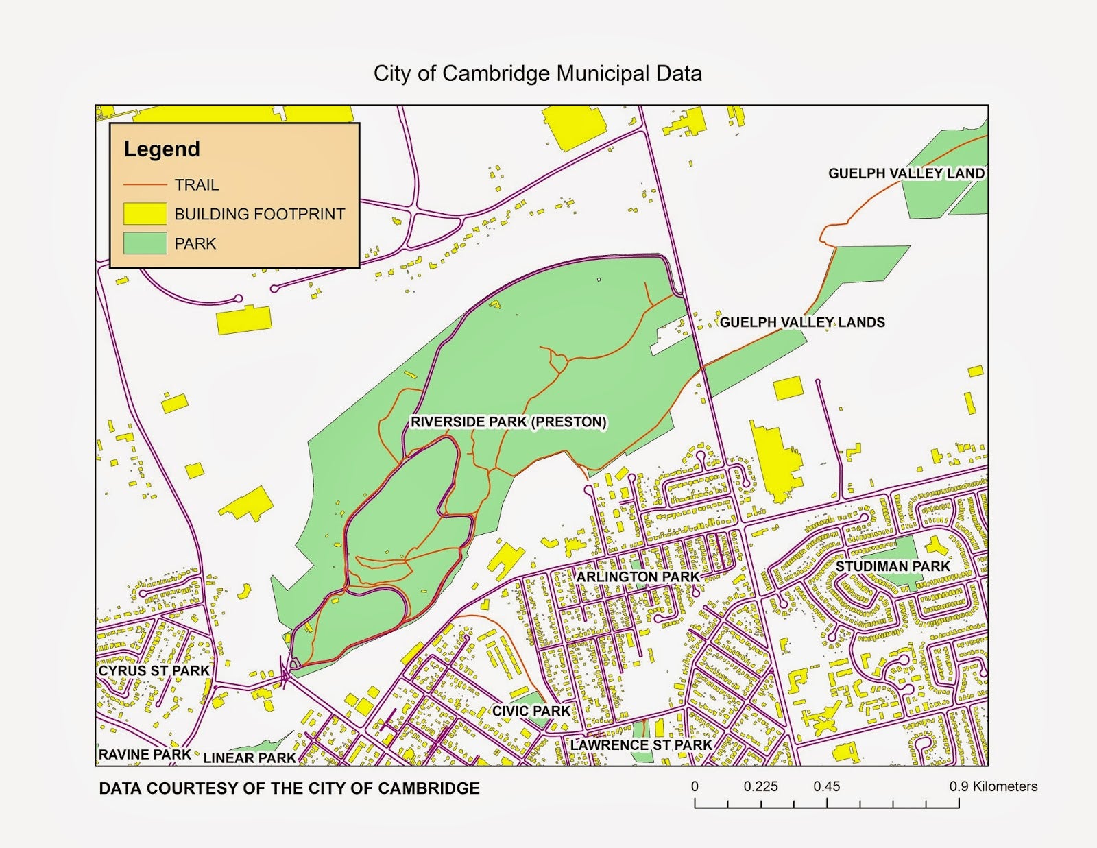
We now have an update to DMTI data (2020 version), including roads, water, parks, PCCF, EPOI, and more. 

City of Toronto Lidar (2015) Updated

The Geospatial Centre has acquired additional coverage of Lidar 2015 data, going as far east as Scarborough. 

The 1 km x 1 km tiled data was collected April 2015 with an average flying height above ground of 1,300 metres (m) producing a Horizontal Accuracy, 95% or 2σ: 30 cm and a Fundamental Vertical Accuracy (on flat hard surfaces), 95% or 2σ: 10 cm.

Total file size is 78 gigs. 

City of Kitchener: Land use joined with parcels (2020)

Received from the City of Kitchener, land use joined with parcel data. Land use categories include: agricultural, commercial, industrial, institutional, mixed use, open space, recreational, residential, row and utility.