Contact the Geospatial Centre
Dana Porter Library, Room 328
University of Waterloo Library
Waterloo, Ontario N2L 3G1
Email: librarygeo@uwaterloo.ca
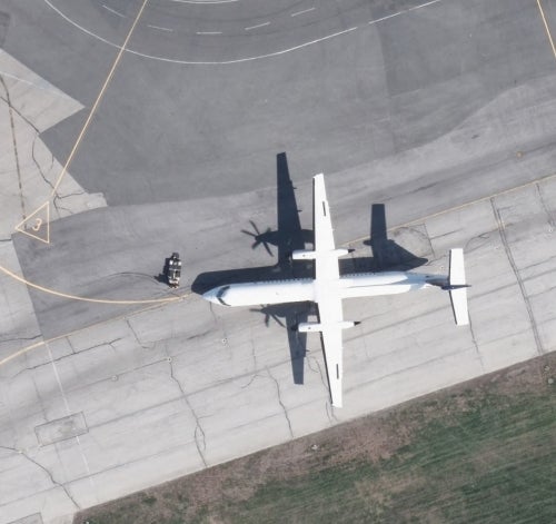
2013 Orthoimagery was received February 2014 from the Geospatial Competency Centre, Mapping Services, City of Toronto. Imagery covers the entire City of Toronto and consists of 3,018 tiles each covering an area of 0.5 km2, with an image resolution of 6 cm ground pixel.