Contact the Geospatial Centre
Dana Porter Library, Room 328
University of Waterloo Library
Waterloo, Ontario N2L 3G1
Email: librarygeo@uwaterloo.ca
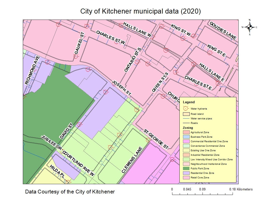
Received from the City of Kitchener, 2020 municipal data updates including: bridges, pavement edge, impervious area, planning intensification areas, property unit location, road island, double line street, water hydrants, water mains, water service pipes, water valves and zoning. This vector data resource covers 1997 - 2020 and provides topographic, planning, and recreation information for the area encompassed by the City of Kitchener.