Contact the Geospatial Centre
Dana Porter Library, Room 328
University of Waterloo Library
Waterloo, Ontario N2L 3G1
Email: librarygeo@uwaterloo.ca
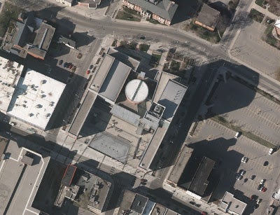
This data resource is a colour compressed orthomosaic, stored in MrSID image format, covering the City of Kitchener. Aerial photography was flown on April 5 to April 7, 2012, then scanned to digital format. Pixel resolution is 12 cm. The orthomosaic was provided to the Geospatial Centre by the City of Kitchener in January 2013.